

Brent Crater Trail is a fun hiking trail in Algonquin Provincial Park North, taking you into an ancient crater. Here's what you need to know!

We had booked stays at both Kiosk Campground and Brent Campground ... but we ended up getting spooked by some things we’d read about the road into the Brent Campground, and changed plans.
So - staying the whole time at Kiosk - we decided to visit Brent Campground on a day pass - in our car, not the RV - to see what the deal was with the roads, and suss it out for a potential stay in the future.
Being such a long drive from Kiosk - and having 6 cats who wanted lunch! - we didn’t have enough time to check out the Brent Crater Trail at that time. We checked out the displays just off the side of the road, and decided that we’d visit again.
Maybe not for the actual campground - we definitely preferred Kiosk! - but we’d drive in, whether from Kiosk again, or nearby Samuel De Champlain Provincial Park. Either way, we were looking at about 1 ½ hours driving, each way.
Believed to have been created by a meteorite hit over 450 million years ago, the Brent crater was discovered in 1951. It’s since gone on to become one of the most studied fossil meteorite craters in the world!
Anyway, we stayed at Kiosk again a year later, which allowed Porter to do the Brent Crater Trail at that time.
Here’s what we - mostly HE - can tell you about it:
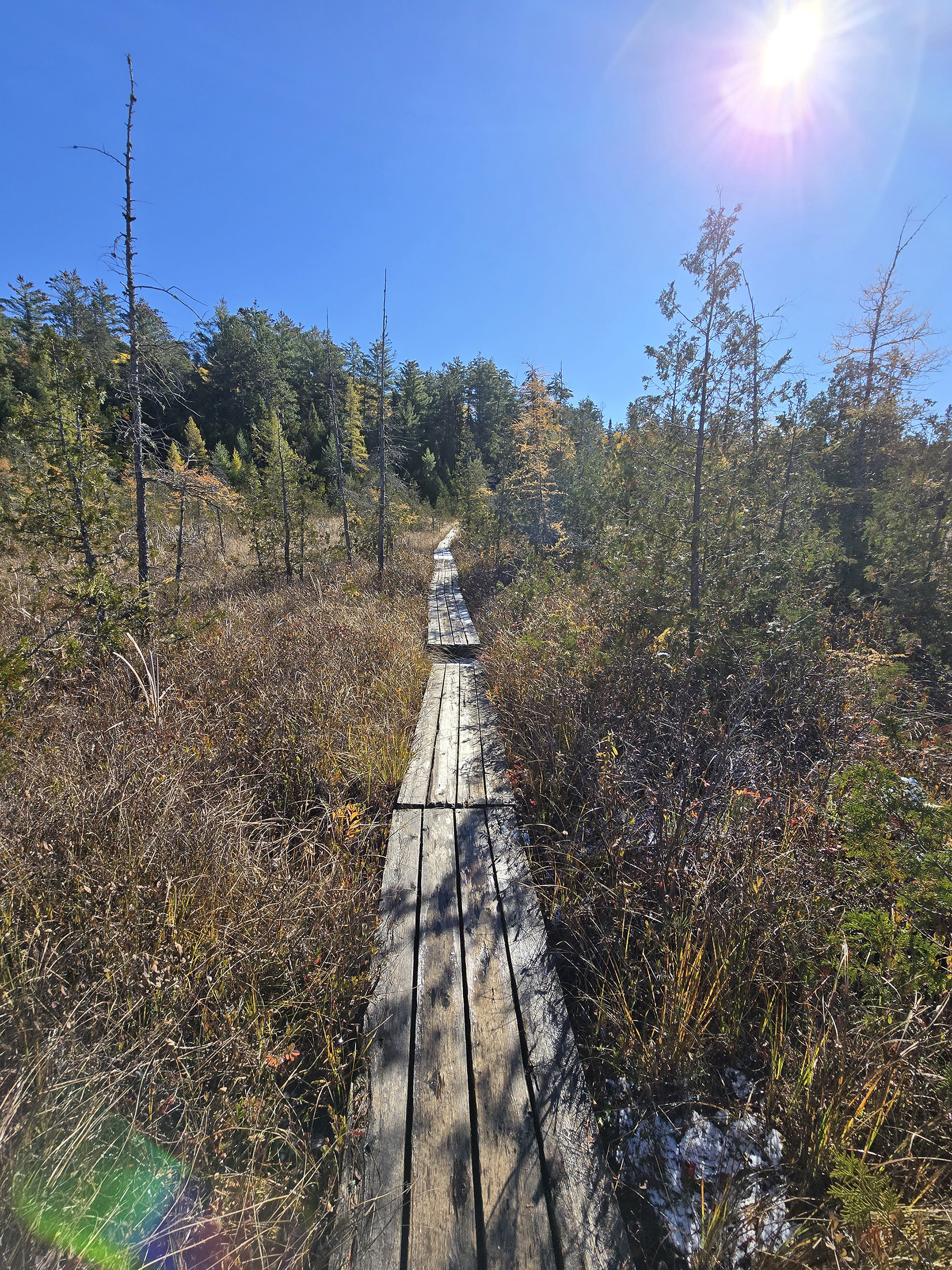
The Basics:
Name: Brent Crater Trail
Algonquin Park Section: Algonquin North
Kilometre Marker: N/A: 32 km south of Highway 17 / 8 km North of Brent Campground
Season: April 24, 2026 to November 15, 2026
Trail Length: 2 km (Wildly inaccurate! See below for details)
Difficulty: Moderate
Suggested Completion Time: 1.5 hours
Logistics
Some basic information to help you plan your hike on the Brent Crater Trail in Algonquin Provincial Park:
Registration and Check In
All hiking trails in Algonquin Provincial Park require a valid permit to be within the park in the first place. There are a few different ways you can do this, depending on how you’re visiting the trail.
1. If you’re currently camping in Algonquin
If you have a current, valid camping permit for a campground in the Brent Campground, you just show up to the trail. Your license plate number is already registered with the park, and you’re good to go.
If you’re camping anywhere else in Algonquin, follow the directions below - as if you’re camping in a different park.
2. If you’re currently camping in a DIFFERENT Provincial Park
If you’re driving in for a day trip from somewhere like nearby Driftwood Provincial Park or Samuel de Champlain Provincial Park, you can take advantage of the reciprocal program.
With a few exceptions, a current and valid camping permit from one Ontario Provincial Park will act as a daily vehicle permit at another.
You just need to show up at the Brent Campground Office on the way in and show proof of that permit - a paper permit if your campground has it, or your email confirmation.
They will register your license plate number and you’re free to go - no additional fees required!
3. If you have an annual Ontario Parks Pass
Generally speaking, all you have to do is show up at the Brent office, present your pass, and have your license plate noted.
Note: Sometimes you’ll need to reserve a daily vehicle permit ahead of time. This is usually during peak fall colours season, when certain areas of the park reach capacity.
4. If you don’t have any sort of camping permit or Parks Pass in place
You can book your Daily Vehicle Permit online at Ontario Parks Reservations - up to 5 days in advance of your visit.
If you’re planning your visit for October... you might want to be ready to do so right when that 5 day window opens up, to ensure availability!
Otherwise, you can pay for a DVP at any one of the Algonquin Provincial Park gates.

Parking
There are two parking areas for Brent Crater.
The first you’ll come to - when heading in from the Trans-Canada Highway - is the small parking lot for the observation tower.
This is actually ON the trail, without being the start of the trail - the trailhead is a little further along the logging road, on the other side of the road. (Right side, as you’re heading towards the campground.)
This one has space for maybe 10-12 cars or so. You SHOULD be ok to park an RV or trailer there, if it’s fairly empty. (I would assume it usually has plenty of room!)
The trail loops down off the road from that spot, then dumps you on the road further back on the highway - before that observation tower area.
So, really, you can park at either, as it’s a loop.
Anyway, at the actual trail head there is parking for maybe 5-6 cars, and it’s not at all RV / trailer friendly.

Bottom: Observation Tower Parking Lot
Washrooms
There are no washrooms at either parking lot, or along the Brent Crater Trail.
We recommend stopping at the park office on the way in, if you’re doing the trail as a day-use thing. There is a flush toilet inside the park store.
If you’re staying in Brent Campground, you’re best off using one of the outhouses there before heading to the trail. Those are all outhouses / vault toilets.

Maps and Signage
Some info about getting to - and around - the Brent Crater Trail:
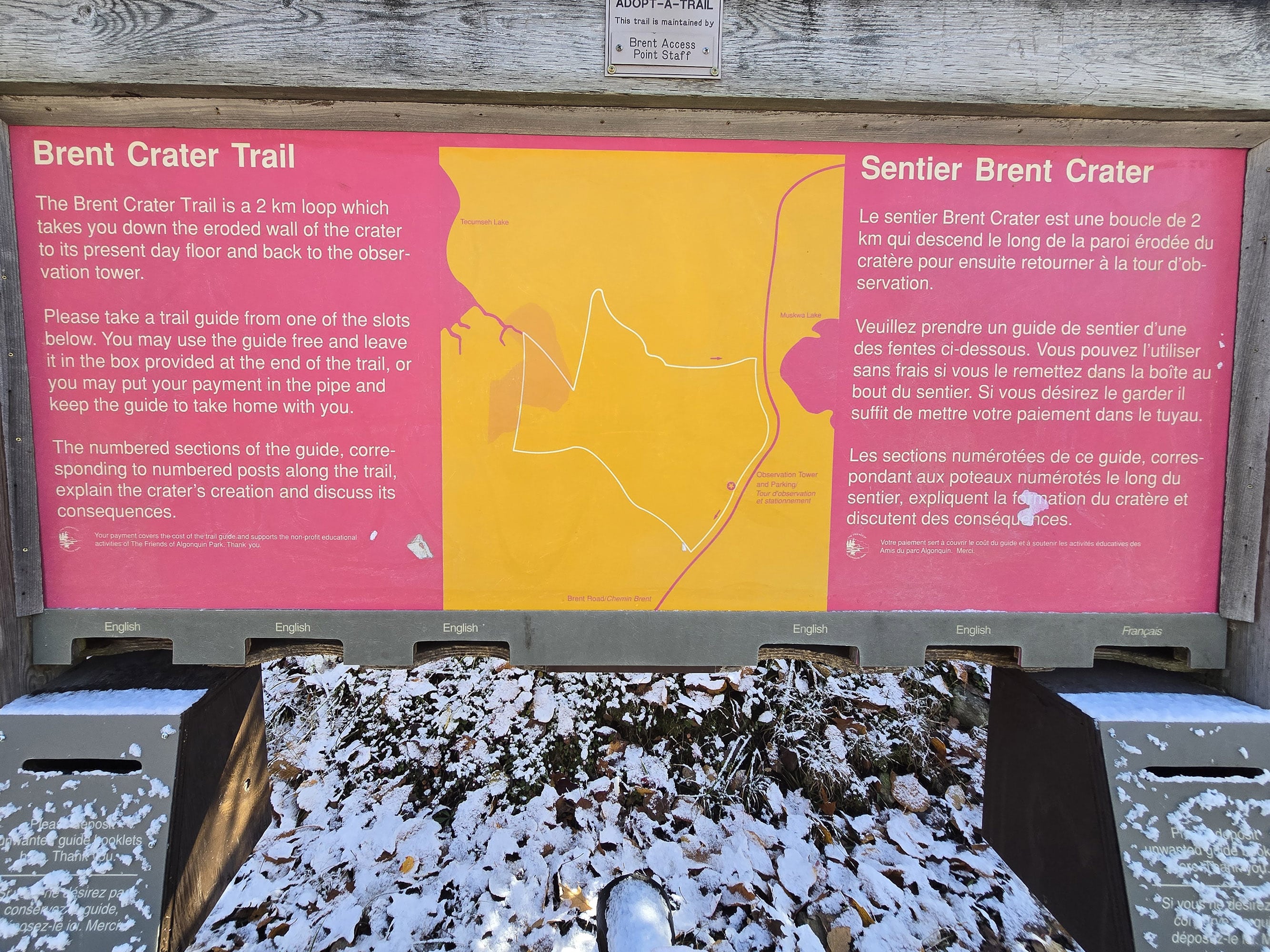
Trail Map
If you’re looking for the map that’s usually at the trailheads of the other hiking trails in Algonquin, you’re going to miss it.
You actually have to go back on the highway about 200 m, to the lookout tower parking lot. While it’s the last numbered post on the actual trail, THIS is where you’ll find the trailhead signage!
Anyway, this is a rough map - more of a general overview of the layout, than anything. There are no distances marked, etc.

Anyway, the Brent Crater Trail Guide has a detailed map, points of interest marked, and even a graph showing the elevation changes. Very handy!
A couple things to note about obtaining the Brent Crater Trail Guide, as it’s a little different from other trail guides in Algonquin:
1. Usually these are also at the trailheads, but for some reason... they’re not, for this trail. You’ll want to pick it up before arriving at the trail.
2. While all of the other trail guides are “free to use and return, or you can buy them”, that’s apparently not the case here.
When we stopped at the Brent office, we were offered a copy, and said we’d already purchased one. The park employee was surprised to hear “bought”, and asked where we bought it from.
She was further surprised to hear that they were selling them at the Visitor Centre on Highway 60, as they were just given freely at the Brent office.
Anyway, the maps are MOSTLY accurate, with a couple main issues sticking out:
1. The trail distance is WAY off - they call it 2 km, but it’s actually 3.5 km!
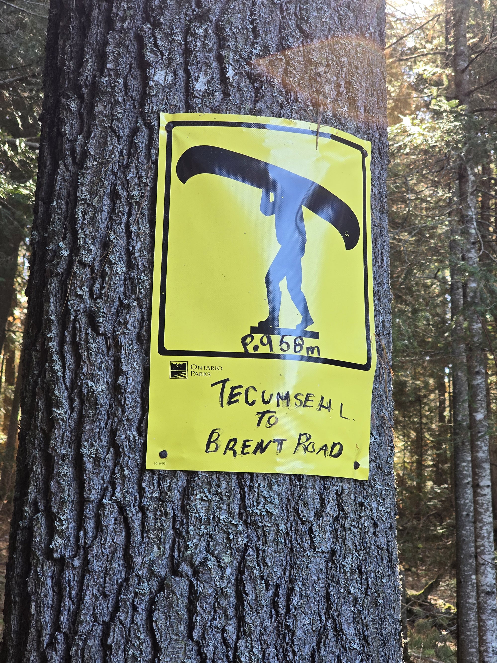
2. The trail maps are fairly different in the area of post #6. One shows you coming to the edge of Tecumseh Lake (Trail Guide), while the other shows you coming to the end of a stream that extends off that lake (trailhead map).
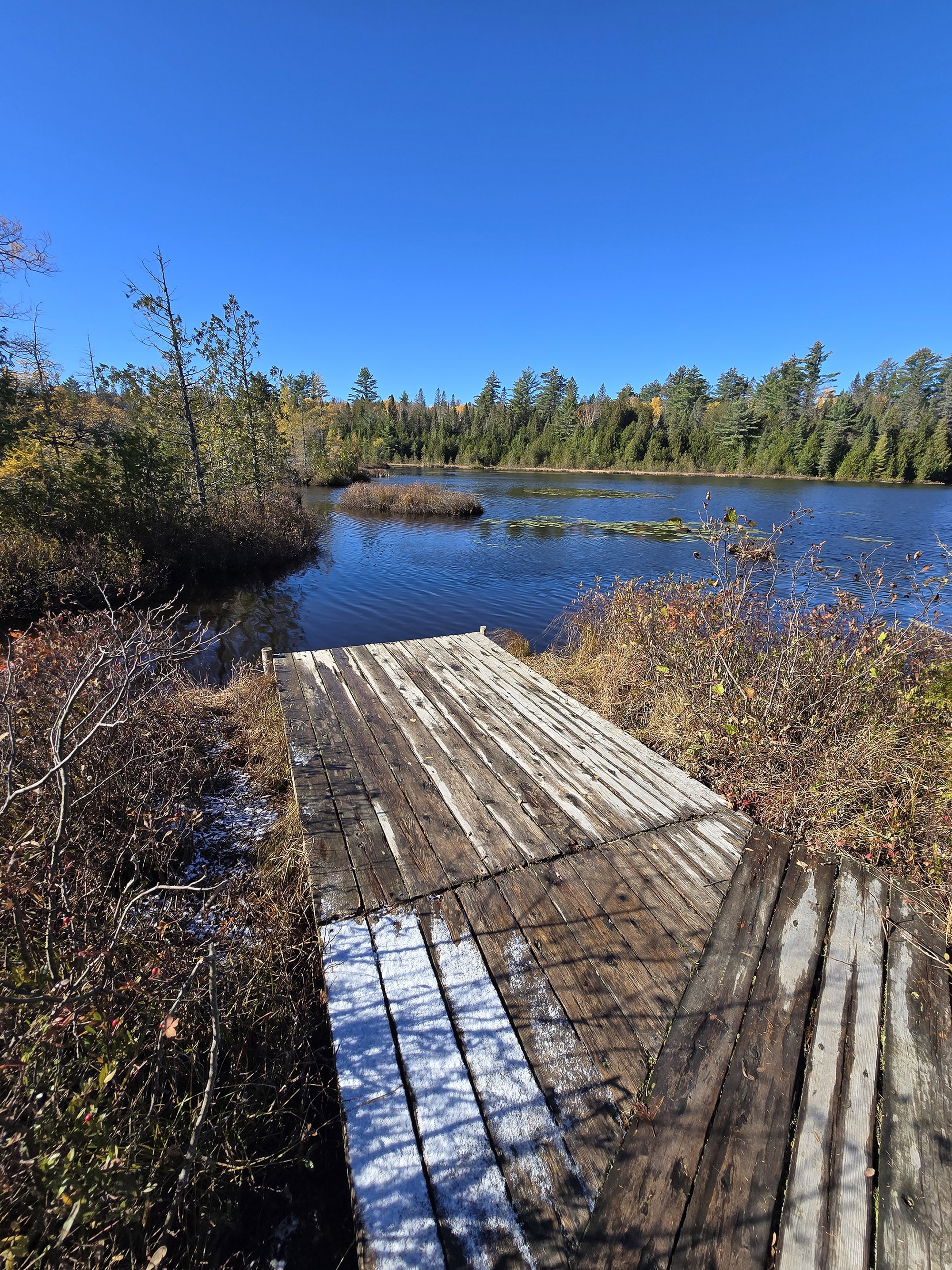
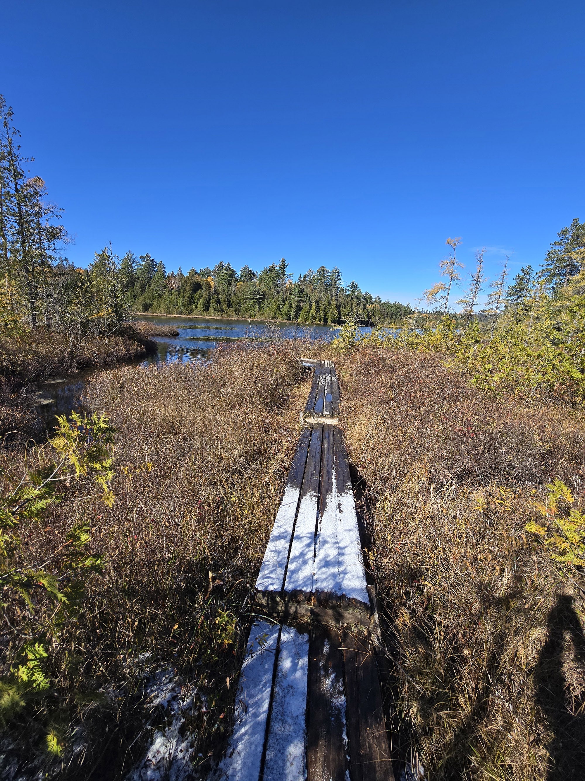
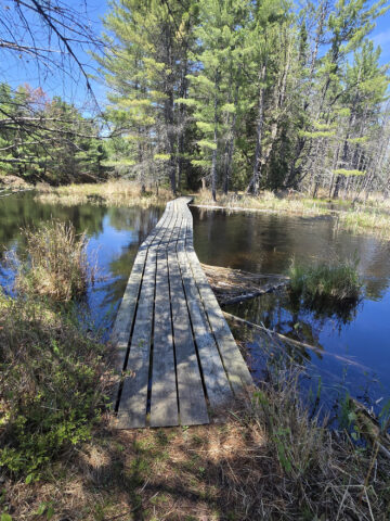
In actuality, there’s a short boardwalk that extends off the side of the trail that takes you along that stream, to the lake. It’s about 150 m one-way, and is not represented on either map. Definitely worth making the extra walk out for the views there, BTW!
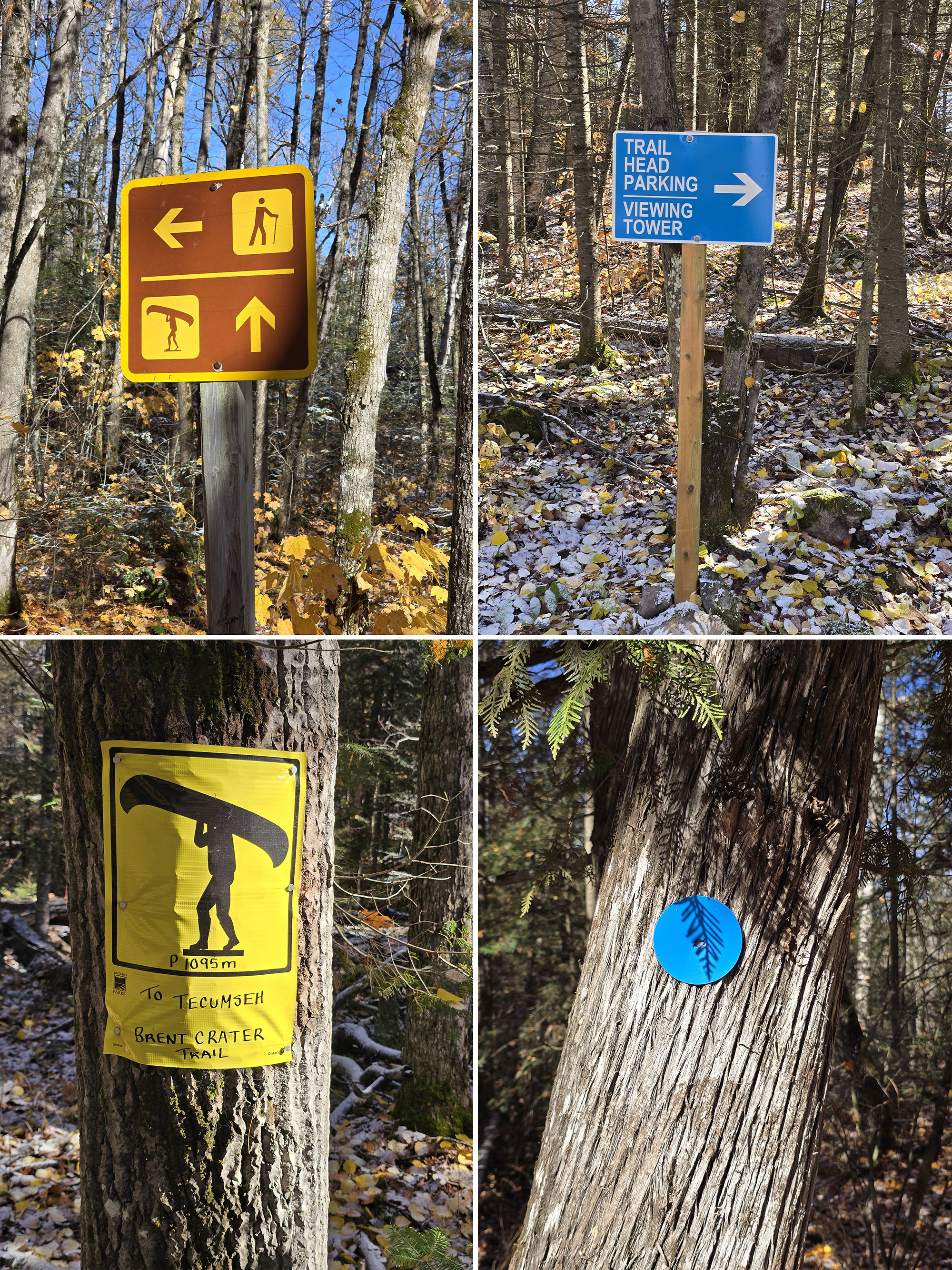
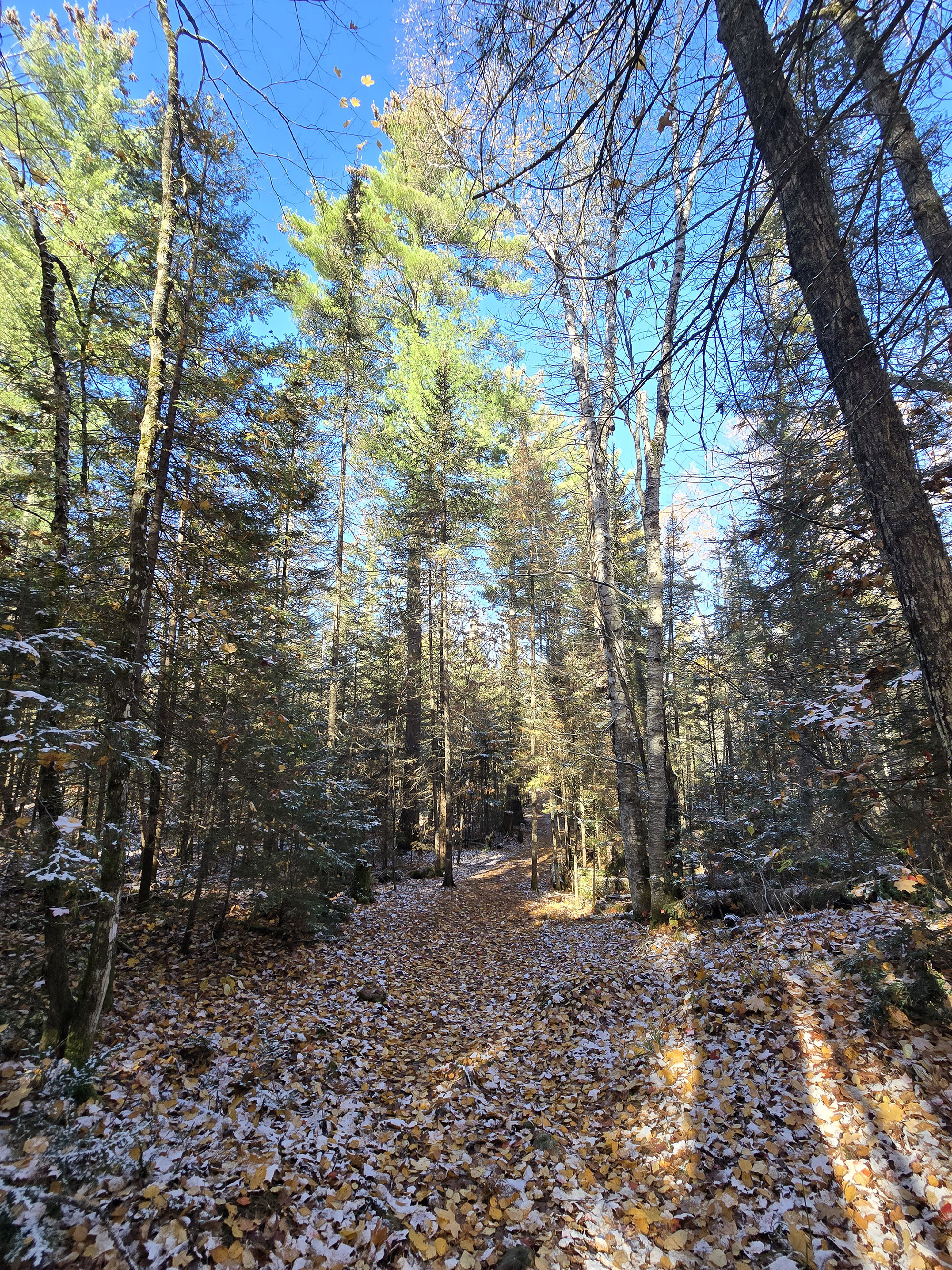
In terms of signage, the trail is easy to navigate, with ample directional signs and trail blazes. It’s also a well-established trail - even covered in leaves and snow, it is easy-to-follow.
You’re not going to get lost on this one!
Accessibility
If you need a walking aid - such as a walking boot, brace, or cane - you might be OK on this trail, assuming you’ve got decent balance and appropriate footwear.
A lot of the trail is pretty flat - wide and well-packed also - but there are some moderate inclines that are pretty short, and one steeper incline near the end.
There is some rough footing from roots and rocks, but nothing too wild.
Pets
Dogs are allowed on the Brent Crater Trail, and it should be an easy enough trail for any size dog.
As always, all of the standard Ontario Provincial Parks rules apply.
They must be leashed at all times, and aren’t allowed to harass other hikers, wildlife, or plants.
They can’t be left unsupervised, and aren’t allowed to make excessive noise.
Owners must pick up after their dogs, and properly dispose of the droppings.
On that note, there are no poop baggie dispensers on site, and no garbage can at either the trail head or the tower parking lot. Plan ahead!
Park Store
There’s a small Provincial Parks store inside the Brent Office, shortly after turning off the highway.
It’s not HUGE, but it’s cute, with a decent selection for the size of the place. There’s some clothing, stuffed animals, park stickers and badges, other souvenirs, trail guides books about plants and animals in the area, a fridge of cold beverages, as well as a small freezer with ice cream treats.

Day Use Area
There is no picnic area at either parking lot, though there are a couple benches at the observation tower - one at the top of the tower, and another at the base of it, overlooking the crater below.
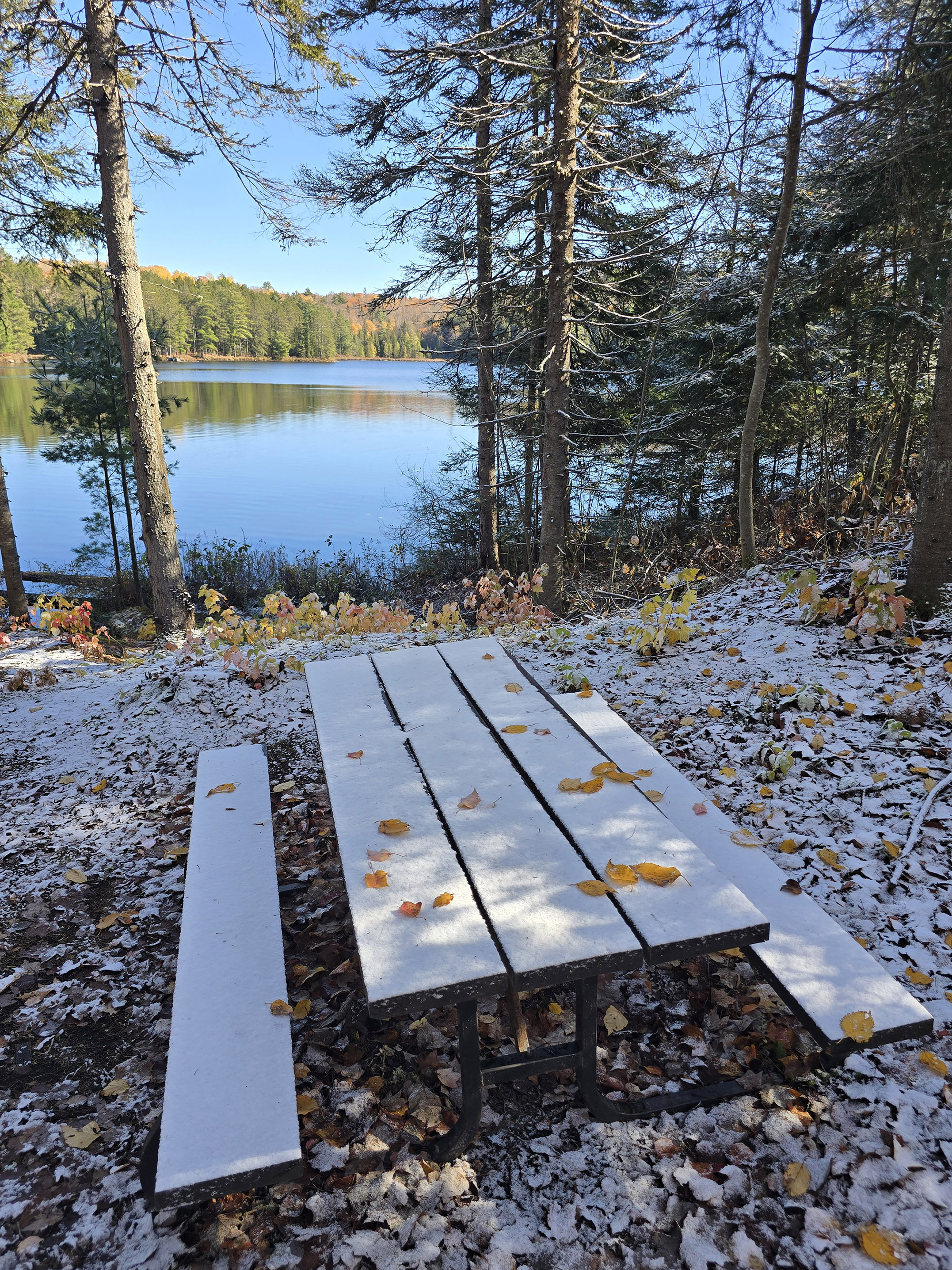
Also, after you turn onto the road from the main trail - before reaching the tower - there is a single picnic table on the other side of the road, next to Muskwa Lake.
If you’re looking to pack a picnic lunch, that is DEFINITELY the best place in the area!

Connectivity
There's no cell service at the trail, at ALL.
You lose cell reception pretty soon after turning onto Brent Rd from ON-17, so expect a ~40-45 minute drive if you need to make a call.
That said, there is wifi available at the Brent Campground office - but that is 33 km or so - down a logging road. Best to do what you need to do, on your way in.
Miscellaneous
Some random bits of info that you should know:
The Road In
You’ll be driving about 30 km down a logging road to get from the Trans-Canada Highway to the trailhead - expect it to take just under an hour.
It’s unpaved and can be ROUGH - apparently it’s at its worst in May. The road is maintained by logging companies during operating months, and early May is when they do the initial grading / etc for the year.
Even in October, though, it was rough, “washboard-y”, with potholes, large rocks, etc. It’s a twisty road, and you can easily skid sideways if you take turns too fast.
Take your time, and watch out for active logging trucks! Besides, you might be treated to some wildlife viewing, along the way!
Note: If you’re driving back to the trail from the Brent Campground, it’s only about 8 km / 10 minutes north.
Managing Expectations!
One thing we’d like to point out is that hikers should manage their expectations in terms of what visiting this crater will actually involve.
... you won’t really see a crater. Not FROM the trail, anyway
Sure, you’ll see the area of the crater from up on the observation deck, but it’s just forest - if you didn’t know there was a crater there, you’d easily miss it.
The interest here is in *knowing* that you’re visiting a crater, and in reading all of the accompanying information about history of the area you’re visiting.
As a trail itself - aside from that external knowledge - it’s a fairly basic trail.
Observation Tower
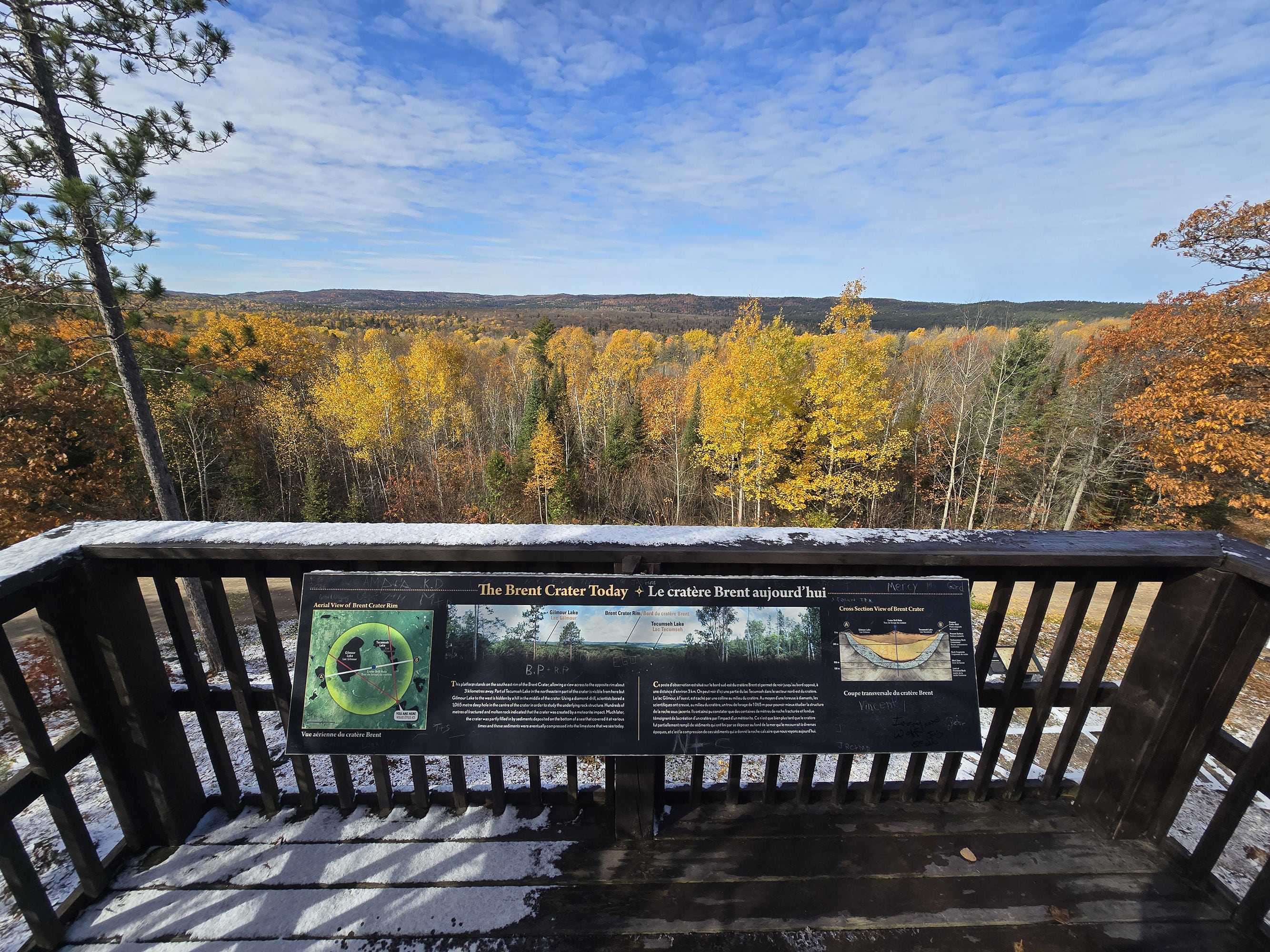
I’ve referenced the Observation Tower in passing a couple of times - when talking about the parking lot - but let’s talk about the tower itself!
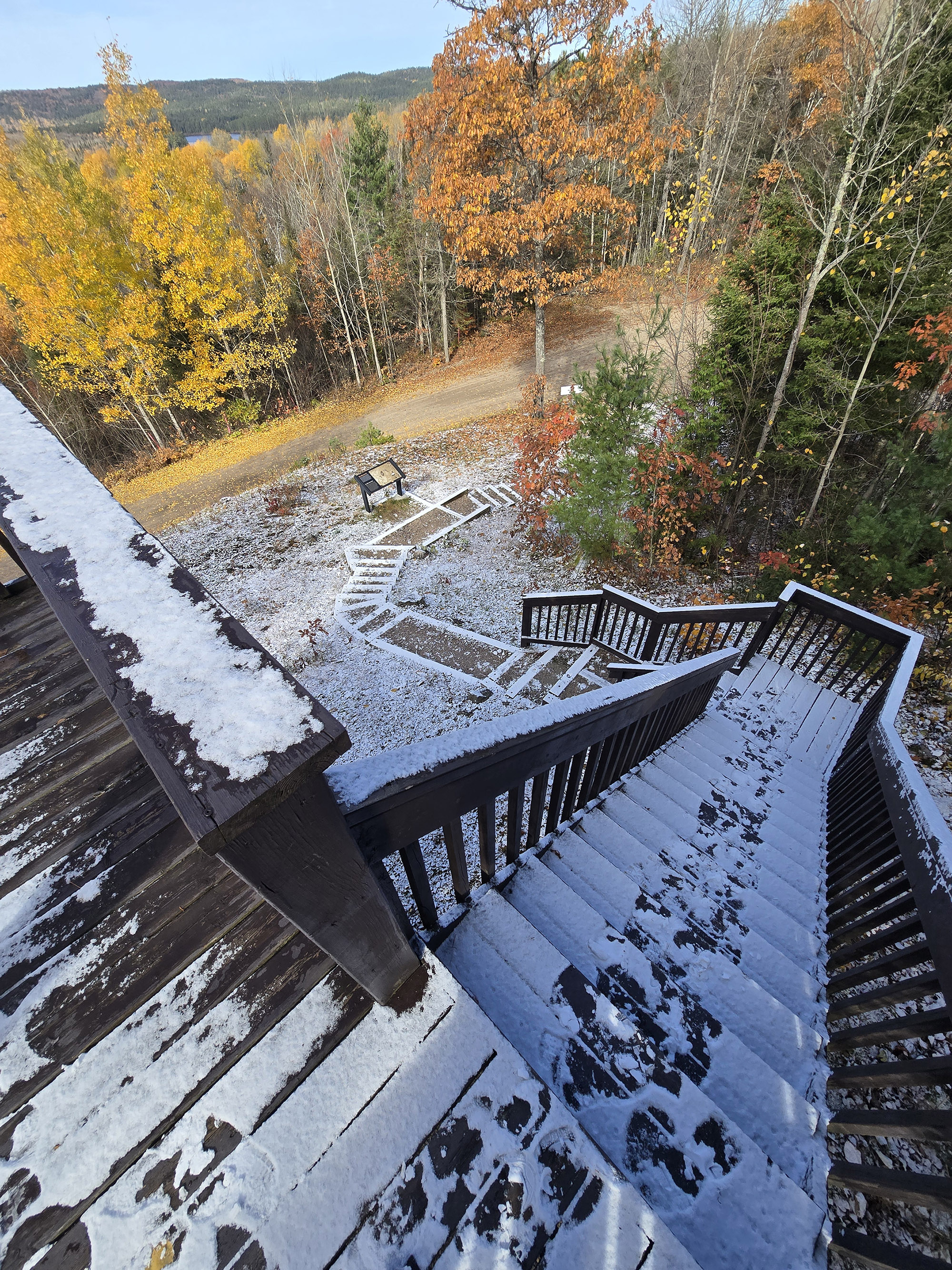
The observation deck is right next to the parking lot, up a set of landscaped steps and then 2 flights of stairs.
It overlooks the actual crater, which you can see as a very round, depressed area below you. You can see clear across to the other side of the rim, 3 km across from you.
We weren’t able to see Tecumseh Lake on our first visit - maybe the trees were too full? - but it was easy to see off to the right, upon our second visit.
There are educational signs both at the base of the tower area - next to the parking lot - as well as at the top of the deck .
Really, even if you aren’t doing the trail itself, it’s worth a stop to see the tower if you’re on the way to Brent Campground.

Share the Love!If you’ve made one of our recipes, be sure to take some pics of your handiwork! If you post it to Bluesky, be sure to tag us - @2NerdsInATruck, or you can tag us on TikTok, if you’re posting video. We're also on Pinterest, so you can save all your favourite recipes and park reviews to your own boards! Also, be sure to subscribe to our free email newsletter, so you never miss out on any of our nonsense. Well, the published nonsense, anyway! |
Activities
Some information on the various things you can do, while hiking the Booth’s Rock Trail at Algonquin Provincial Park:
Hiking
Porter hiked the Booth’s Rock Trail alone, in August 2026, here are his trail notes.
As a note, the photo sets are all done chronologically, but don’t necessarily line up with Porter’s commentary, below. WAY too much effort to try and fit the photos to the text!

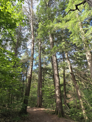
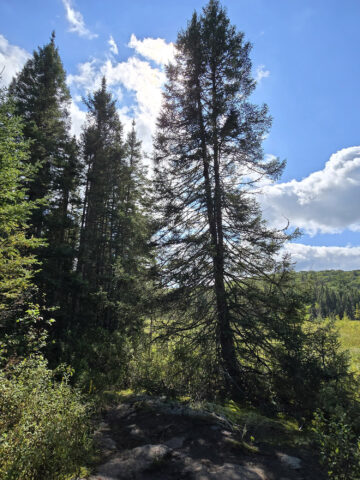
The forest is mostly pine trees, only a few deciduous trees around. During my hike in mid-October many of those leaves had fallen anyway.
Around 370 meters in, I started to notice there were larger rocks in the trail. I started thinking back to what I had read in the trail guide, about the meteor impact blasting rocks away like this.
I wanted to look at the detail in the rocks, since the guide had me intrigued about them, but it was difficult, I had to keep looking for good opportunities.
Moss has grown over much of the rock surface over the years. In this fall season, a heavy blanket of leaves covered many of the rocks. On this particular day, a light dusting of snow also obscured the details.”

At 700 meters you descend a moderate-sloped hill for about 40 meters. It was really cool knowing that this very spot you're descending is the wall of the crater.
Well, what's left of the crater wall, since millions of years have eroded the steep crater walls to this moderate slope.
At the base of the hill you'll find signpost 4, and there's a short offshoot leading to a really nice, but small, open area next to the creek. There's a handmade log bench, this would be a lovely spot to stop for a picnic.
Continuing on, I noticed the rocks in this area are much smaller, mostly jagged rocks. There's a definite shift in rock type from the top of the crater.”

At 1.15 km you reach a really nice observation deck overlooking a creek flowing into Tecumseh Lake. There are benches available here as well. A side branch takes you along the creek via a narrow boardwalk.
It's about 150 meters to get to the edge of Tecumseh Lake, where there's a dock with a great view of the lake.
Continuing past the observation deck, you start ascending for a bit, again a moderate slope. The trail winds through the forest, it's a really beautiful area.”

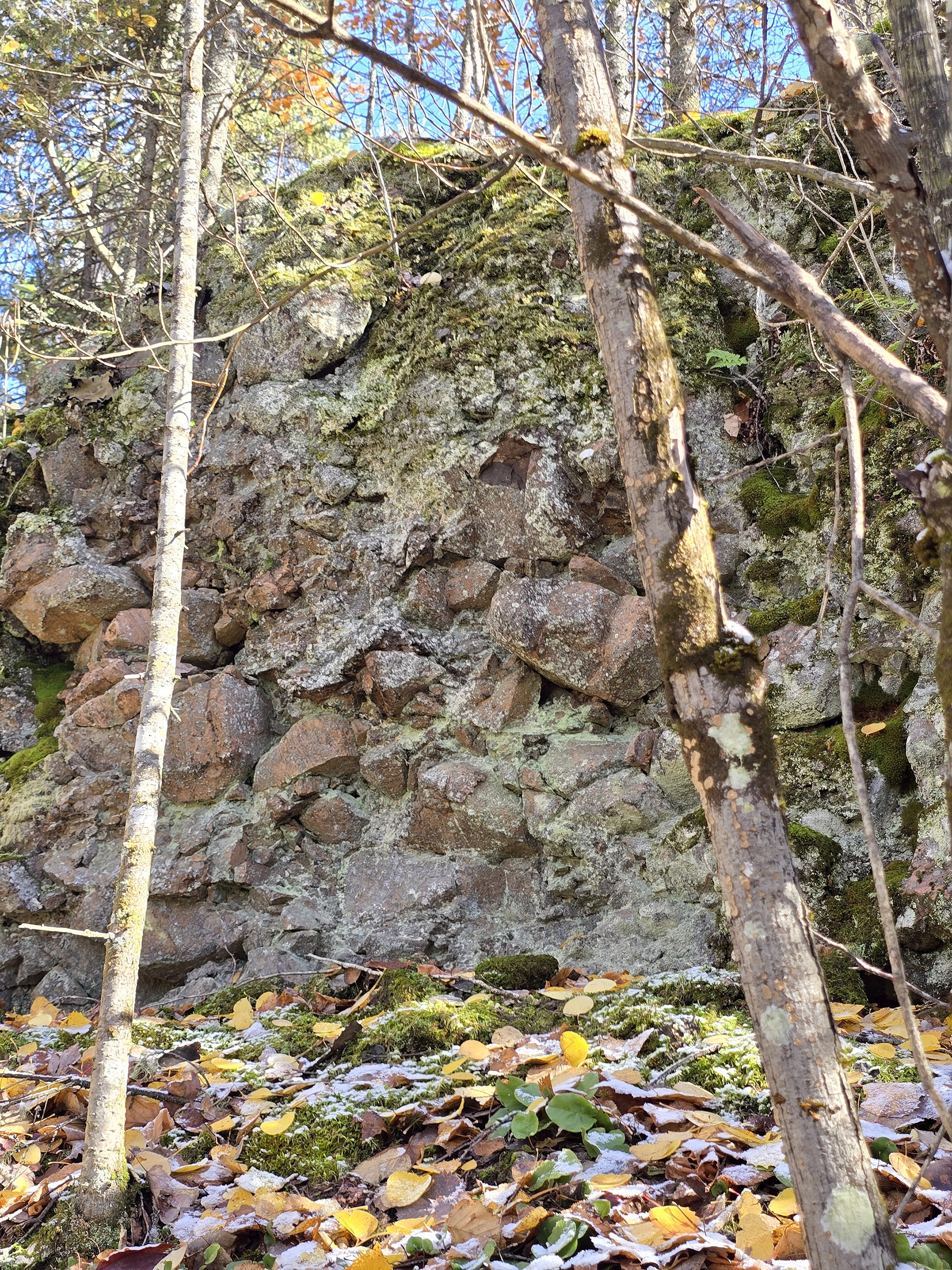
At 2.13 km the trail passes along a large boulder wall, this is a great opportunity to see the rock type in detail.
The trail guide had mentioned that you can see amalgamated boulders, where smaller rocks are fused together to form the larger composite. You can clearly see this in the boulder wall here.”
At 2.8 km, the trail ends at the main road, with a sign pointing you toward the parking lot. Following the road, at 2.95 km you pass a really lovely picnic site on the left, overlooking the water.
You reach the Brent Crater Overlook at 3.25 km, with some steps leading up to a wooden observation deck. There are two benches and educational signage in this area as well.
Another ¼ km and you're back at the parking lot. The park describes this trail as 2 km long, but my MapMyRun put it as 3.5 km. I did the trail in about 1 hour, 10 minutes, taking my time for most of it.”

Birding, Wildlife, and Nature
We were really looking forward to the chance of some wildlife sightings, after popping by the park office on the way in.
The employee on desk was telling us about all the recent sightings in the area - a big bull Moose, Pine Martens and Fishers on the trail, and even a Lynx that had been sighted nearby.
Unfortunately, Porter didn’t have much luck. He heard and saw a few birds, but didn’t manage to get any photos worth sharing. Overall, he heard and/or saw:
American Robin, Black-Capped Chickadee, Blue Jay, Common Merganser, Red-Breasted Nuthatch, Red-Tailed Hawk, and Spruce Grouse.
He did see some cool fungi along the way though, even through the snow cover!

Educational & Cultural Opportunities
While there are no educational signs on the Brent Crater Trail, you can pick up a Friends of Algonquin trail guide at the Brent Campground office, almost as soon as you turn off the highway.
These guides are amazing educational accompaniments to the trails in Algonquin Provincial Park, teaching about the geology, flora, and fauna you might see on your hike, as well as some of the history of the area.
They also tend to include information about the elevation changes throughout each trail. All around, a great resource to refer to while you’re on the trail!
Anyway, the Brent Crater Trail guide, unsurprisingly, focuses on the Brent Crater itself.
It talks about how it was discovered in 1951, when John A. Roberts was looking over aerial photos his company - Spartan Air Services - had taken for the Canadian Government.
He noticed a perfectly circular feature that appeared to be about 3 km wide.
Because a similar feature discovered in Quebec a year earlier had been widely publicized by the Royal Ontario Museum as being a meteorite crater, he reported his finding to the Dominion Observatory of Canada.
Studies were launched, and - lo and behold - he had a crater on his hands!
Anyway, the guide gives a LOT of information about the crater itself, the impact, and more. Personally, I think it’s the most interesting of the Algonquin Trail guides.

In addition to the trail guide, there also those educational signs at base of the tower area - next to the parking lot - as well as at the top of the deck.

Final Thoughts
“If I knew nothing about the significance of this trail, I would call it a lovely trail with a nice scenic water view. The forest type changes a bit, the rocks change a bit, keeping it interesting.
Since I do know the significance, it makes this trail super cool. Knowing that many millions of years ago this was the exact spot where a meteor smashed out this massive pit, well that's just awesome!
Thinking about how that was the cause of the slopes, the changes in rocks, and even what kind of trees grow here is just ... fun!
Now combine those two - super cool nerdy facts about what you're seeing, while enjoying a lovely hike with some great views? That's a winner if you ask me.
If you're in the area, read through the trail guide first, then check out this hike. I would definitely do this again!”
More Algonquin Provincial Park Trail and Campground Reviews
Want to read some more of what we have to say about the campgrounds and attractions in Algonquin Park?
Check out our Algonquin Provincial Park Mega Post, or any of the links below for even more in-depth info:
Algonquin Provincial Park Campground Guides / Reviews
Achray Campground, Algonquin Provincial Park
Brent Campground, Algonquin Provincial Park
Canisbay Lake Campground, Algonquin Provincial Park
Kearney Lake Campground, Algonquin Provincial Park
Kiosk Campground, Algonquin Provincial Park
Lake of Two Rivers Campground, Algonquin Provincial Park
Mew Lake Campground, Algonquin Provincial Park
Pog Lake Campground, Algonquin Provincial Park
Raccoon Lake Campground, Algonquin Provincial Park
Rock Lake Campground, Algonquin Provincial Park
Tea Lake Campground, Algonquin Provincial Park
Whitefish Lake Campground, Algonquin Provincial Park
Winter Camping in Algonquin Provincial Park
Algonquin Provincial Park Trail Guides / Reviews
Barron Canyon Trail, Algonquin Provincial Park
Bat Lake Trail, Algonquin Provincial Park
Beaver Pond Trail, Algonquin Provincial Park
Berm Lake Trail, Algonquin Provincial Park
Big Pines Trail, Algonquin Provincial Park
Booth's Rock Trail, Algonquin Provincial Park
Centennial Ridges Trail, Algonquin Provincial Park
Fork Lake Trail, Algonquin Provincial Park
Hardwood Lookout Trail, Algonquin Provincial Park
Hemlock Bluff Trail, Algonquin Provincial Park
High Falls on York, Algonquin Provincial Park
Logging Museum Trail, Algonquin Provincial park
Lookout Trail, Algonquin Provincial Park
Mizzy Lake Trail
Peck Lake Trail, Algonquin Provincial Park
Provoking Falls, Algonquin Provincial Park
Spruce Bog Boardwalk Trail, Algonquin Provincial Park
Track and Tower Trail, Algonquin Provincial Park
Two Rivers Trail, Algonquin Provincial Park
Whiskey Rapids Trail, Algonquin Provincial Park
Interested in exploring campgrounds beyond Algonquin Park? We've got a huge - and ever-growing! - list of them here: 2 Nerds in a Truck Campground Reviews.
We also have posts on Ontario Waterfalls, other Places to See, and a ton of Camping Recipes to cook up, while on your adventures!
Thanks for Reading!If you loved this post - or have any questions about it - please leave a comment below! We'd also love it if you would consider sharing the link on social media! |
Leave a Reply