

Big Pines Trail is a surprisingly interesting hiking trail in Algonquin Provincial Park. Here's everything you need to know about it!

Though we’ve been camping at Algonquin for several years now, we didn’t get around do doing this trail until August, 2026.
Nothing like nearing completion of the set, to inspire you to do a new trail, LOL.
Truth be told, we weren’t expecting much from this hike, just based on the Ontario Park’s description of it that we’d read a few years ago.
In actuality, it turned out to be a lot more visually diverse than we’d expected, even though it IS definitely still pine-focused.
Not only are there some great big trees to see, there are also scenic vistas to enjoy.
Anyway, let us tell you all about it!

The Basics:
Name: Big Pines Trail
Algonquin Park Section:
Kilometre Marker: km 40.3
Season: Year-round ... sort of.
Trail Length: 2.9 km
Difficulty: Moderate
Suggested Completion Time: 2 hours
Logistics
Some basic information to help you plan your hike on the Big Pines Trail in Algonquin Provincial Park:
Registration and Check In
All hiking trails in Algonquin Provincial Park require a valid permit to be within the park in the first place. There are a few different ways you can do this, depending on how you’re visiting the trail.
1. If you’re currently camping in Algonquin
If you have a current, valid camping permit for a campground in Algonquin Provincial Park - you just show up to the trail. Your license plate number is already registered with the park, and you’re good to go.
2. If you’re currently camping in a DIFFERENT Provincial Park
If you’re driving in for a day trip from somewhere like nearby Arrowhead Provincial Park, Bonnechere Provincial Park, Lake St Peter Provincial Park, or Silent Lake Provincial Park - you can take advantage of the reciprocal program.
With a few exceptions, a current and valid camping permit from one Ontario Provincial Park will act as a daily vehicle permit at another.
You just need to show up at one of the gates on the way in (East Gate and West Gate are the ones on either end of Highway 60), and show proof of that permit - a paper permit if your campground has it, or your email confirmation.
They will register your license plate number and you’re free to go - no additional fees required!
3. If you have an annual Ontario Parks Pass
Generally speaking, all you have to do is show up at one of the gates, present your pass, and have your license plate noted.
Note: Sometimes you’ll need to reserve a daily vehicle permit ahead of time. This is usually during peak fall colours season, when certain areas of the park reach capacity.
4. If you don’t have any sort of camping permit or Parks Pass in place
You can book your Daily Vehicle Permit online at Ontario Parks Reservations - up to 5 days in advance of your visit.
If you’re planning your visit for October... you might want to be ready to do so right when that 5 day window opens up, to ensure availability!
Otherwise, you can pay for a DVP at any one of the Algonquin Provincial Park gates.
Note: Some of the trailheads have QR codes for booking your DVP, but with such spotty internet throughout the park ... I really recommend doing it ahead of time.
Parking
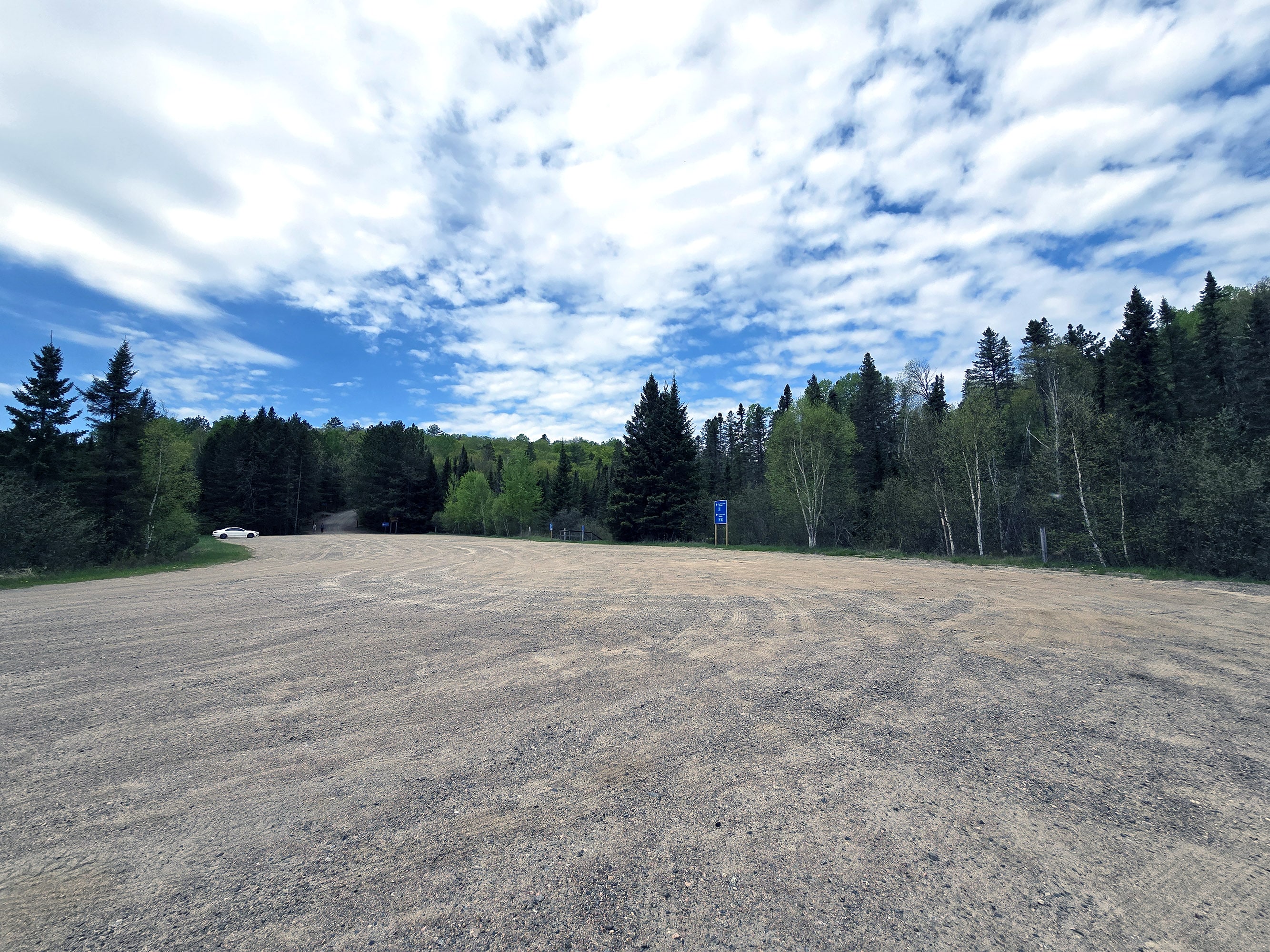
The parking situation for this trail is a little... nonsensical.
It’s a large parking lot, and it allows trailers, RVs, buses, etc... even though the parking is slightly downhill and around a corner from Highway 60.
You can see some of the parking lot if you’re approaching from the east, but that’s about it. Also, there’s only a single entrance / exit point.
Usually, this would be a parking lot that bans trailers - just based on those conditions.
There’s a walking path that takes you up to the nearby parking lot for the Lookout Trail. This one is the style of parking lot that doesn’t tend to ban larger vehicles - two access points, a long half-loop off the highway, clearly seen before you enter.
... THAT one bans larger vehicles, though!
Anyway, all this to say that you SHOULD be able to park a larger vehicle in the lower / Big Pines lot, but it’s also serving as the parking lot for those in RVs, Trailers, etc that want to do the Lookout Trail.
That said, it’s huge -
Washrooms
At the west end of the parking lot - next to the trail that goes up to the Lookout Trail parking lot - there’s a single outhouse building, with two stalls.
This is the shared washroom for both trails.

Maps and Signage
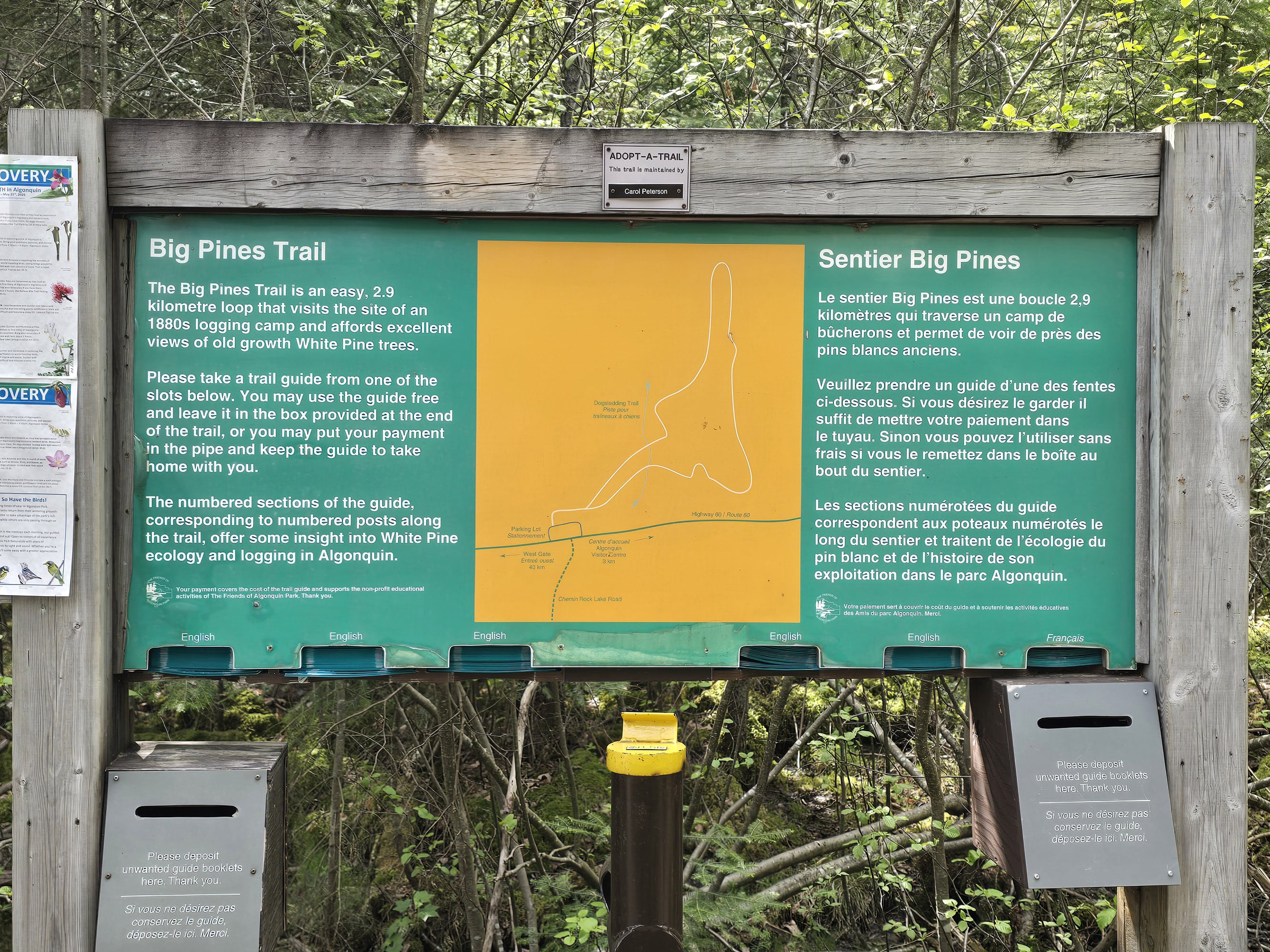
There is a rough map at the trailhead, more of a general overview of the layout, than anything. There are no distances marked, etc.
For a MUCH better map, grab one of the trail guides. It has a much more detailed map, with segmented distances, points of interest marked, and even a graph showing the elevation changes.
In terms of signage, the trail is intended to be a one-way trail, and it’s blazed in the standard Algonquin fashion - blue blazes going the right away, white blazes if you’re doing it backwards.
It’s a really well-worn trail though, so you don’t really NEED the blazes. You’re not going to get lost on this trail!

Accessibility
This is a moderate trail, with somewhat rough footing and modest inclines/declines throughout the trail... aside from one spot.
For about 10 metres long, there’s a very steep decline with some natural rocks and roots to act as steps. Knowing Marie’s limitations, this is the big spot that I red-flagged as maybe being a deal-breaker for those with mobility issues.
Overall, I think this trail is a lot easier than the other moderate trails in Algonquin, but it’s still a moderate trail.
There are a couple benches along the way, if you need somewhere to sit down for a bit.

Pets
Dogs are allowed on the Big Pines Trail. I saw three different groups that had a dog when I hiked this trail, and I think it’s perfect for a medium-sized or larger dog.
As always, all the standard Ontario Provincial Parks rules apply.
Dogs must be leashed at all times, and aren’t allowed to harass other hikers, wildlife, or plants.
They can’t be left unsupervised, and aren’t allowed to make excessive noise.
Owners must pick up after their dogs, and properly dispose of the droppings.
On that note, there are no poop baggie dispensers on site, but there is a garbage can at the trail head. Plan ahead!
Day Use Area
There are no picnic tables at the trailhead or along the Lookout Trail itself.
If you’re looking for a post-hike picnic, your closest option is going to be either the Lake of Two Rivers Picnic area (right on the side of Highway 60), or the East Beach Day Use Area.
For a more secluded picnic, I recommend driving a few extra minutes - in the opposite direction - and go to the Costello Creek Day Use Area, on Opeongo Rd.

Connectivity
I had very good signal on this trail when I checked, and even answered my doorbell cam while on the trail!
That said, cell phone coverage varies wildly in Algonquin Provincial Park, far more so than anywhere else we’ve been.
A spot may have fantastic coverage one day, then none the next. You may have fantastic coverage at one point on a trail, then none just ten metres later.
Carrier, how busy the area is, elevation, and the weather all seem to play a part.
We can’t reliably tell you what the cell coverage will be like on this trail, as a result. Our best advice is to assume there will be no cellular coverage, and plan accordingly.
Note: We can say that the most reliable place we’ve found for cell coverage in Algonquin PP has been the Visitor Center Parking lot. Also, there is wifi available inside the Visitor Centre itself.
Share the Love!If you’ve made one of our recipes, be sure to take some pics of your handiwork! If you post it to Bluesky, be sure to tag us - @2NerdsInATruck, or you can tag us on TikTok, if you’re posting video. We're also on Pinterest, so you can save all your favourite recipes and park reviews to your own boards! Also, be sure to subscribe to our free email newsletter, so you never miss out on any of our nonsense. Well, the published nonsense, anyway! |
Activities
Some information on the various things you can do, while hiking the Big PinesTrail at Algonquin Provincial Park:
Hiking
Here’s what Porter had to say about the Big Pines Trail.
As a note, the photo sets are all done chronologically, but don’t necessarily line up with Porter’s commentary, below. WAY too much effort to try and fit the photos to the text!
After a short and wide boardwalk, this trail begins as moderately rough. There are roots and rocks in the path, but only modest inclines in this area.
You're walking through a forest of ... wait for it ... pine trees.
There are a lot of young trees, very skinny but pretty tall. There are also some mature trees here and there. You'll also see a good amount of birch trees in this area, the white bark really stands out in the forest.

There isn't an arrow to direct you, but there's a blue blaze on the righthand path, and a white blaze on the lefthand path. Algonquin's standard blazes are blue forward and white backwards, so I took the righthand path.
There are a handful of very short (a few steps) sections that are a bit muddy. It had rained the day before, so I don't know if they're always muddy or if it was just the timing of the rain. As usual, good waterproof hiking boots are recommended.
By 400 meters the trail is a bit narrower, but still easy hiking for single-file travel. There are some short boardwalk sections as needed throughout the trail.
In this area, ferns line the forest floor, and there seems to be a bit more variety in the trees. I'm not a tree expert so I can't accurately describe the types of trees you'll see unfortunately.
It's still a young forest, including a lot of the tall skinny pine trees that are earlier in the trail.
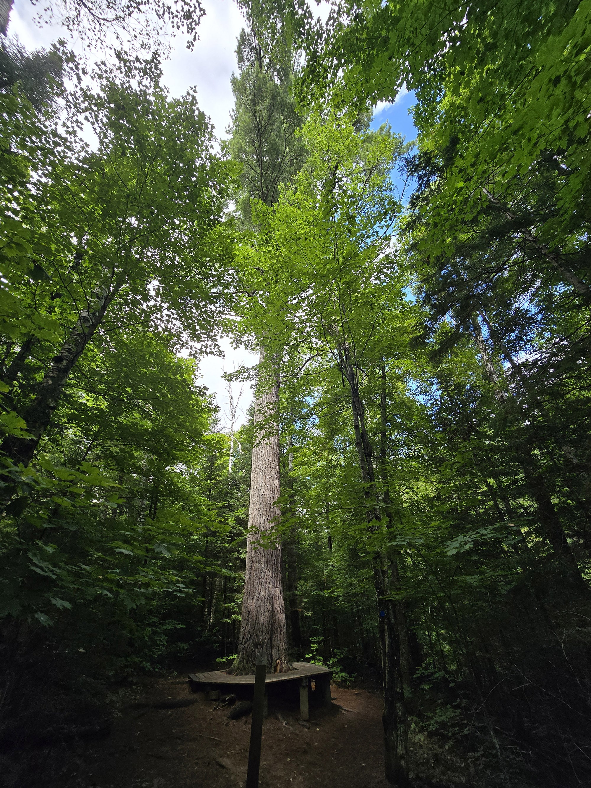
There is the occasional massive tree, I assume trees that were spared in the logging days. They're very impressive, you definitely notice them as you pass by.

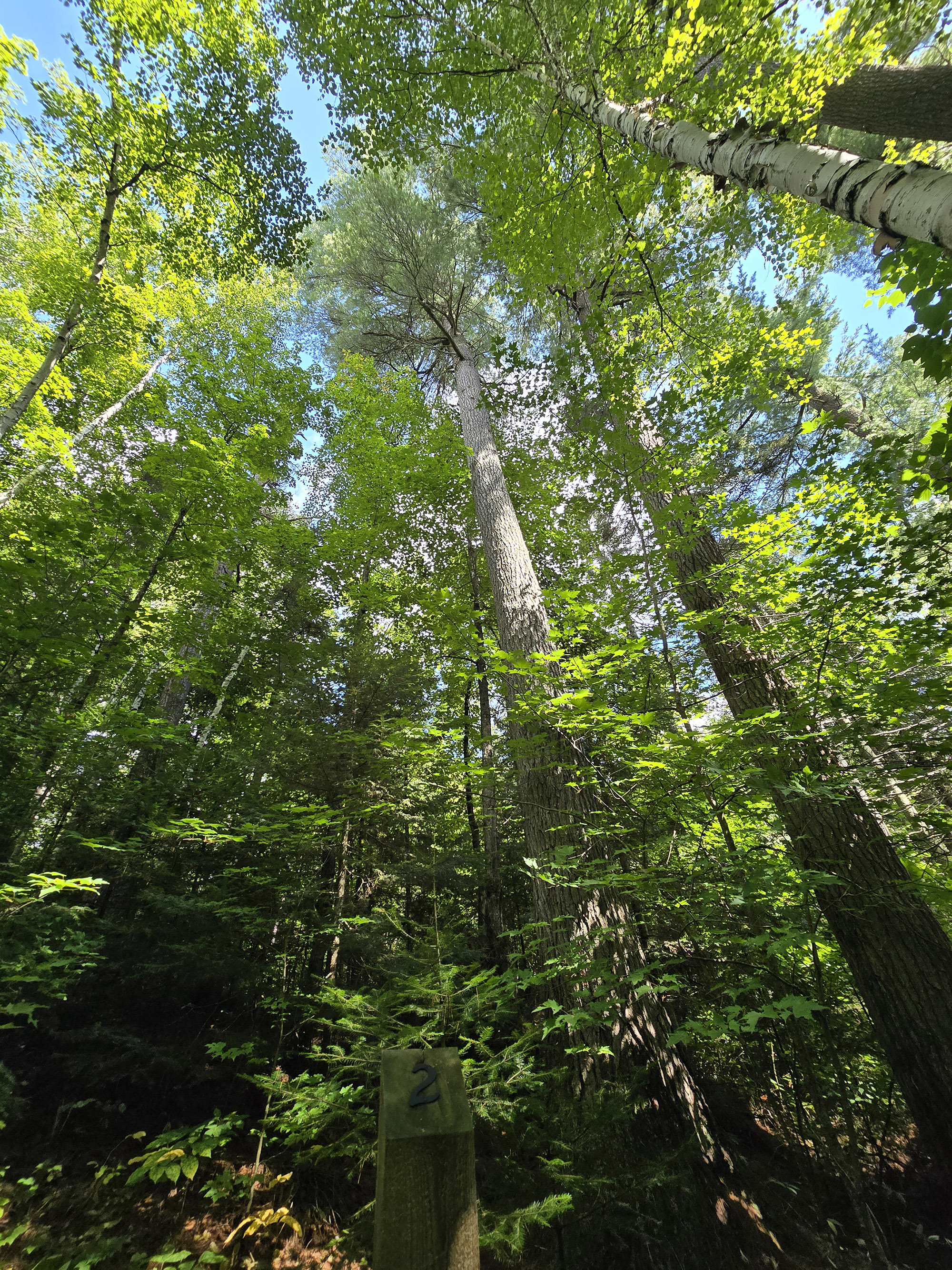
750 meters into the trail, there's a vibe change in the forest. The trees look a bit more mature, and I think they're a different kind of pine tree. They seem a bit skinnier and very tall.
The forest is more open because the tree canopy is up high, there aren't any green branches down lower. There are some small bushes on the forest floor, and pine needles blanket the trail path. Oh, and mushrooms, definitely more mushrooms.
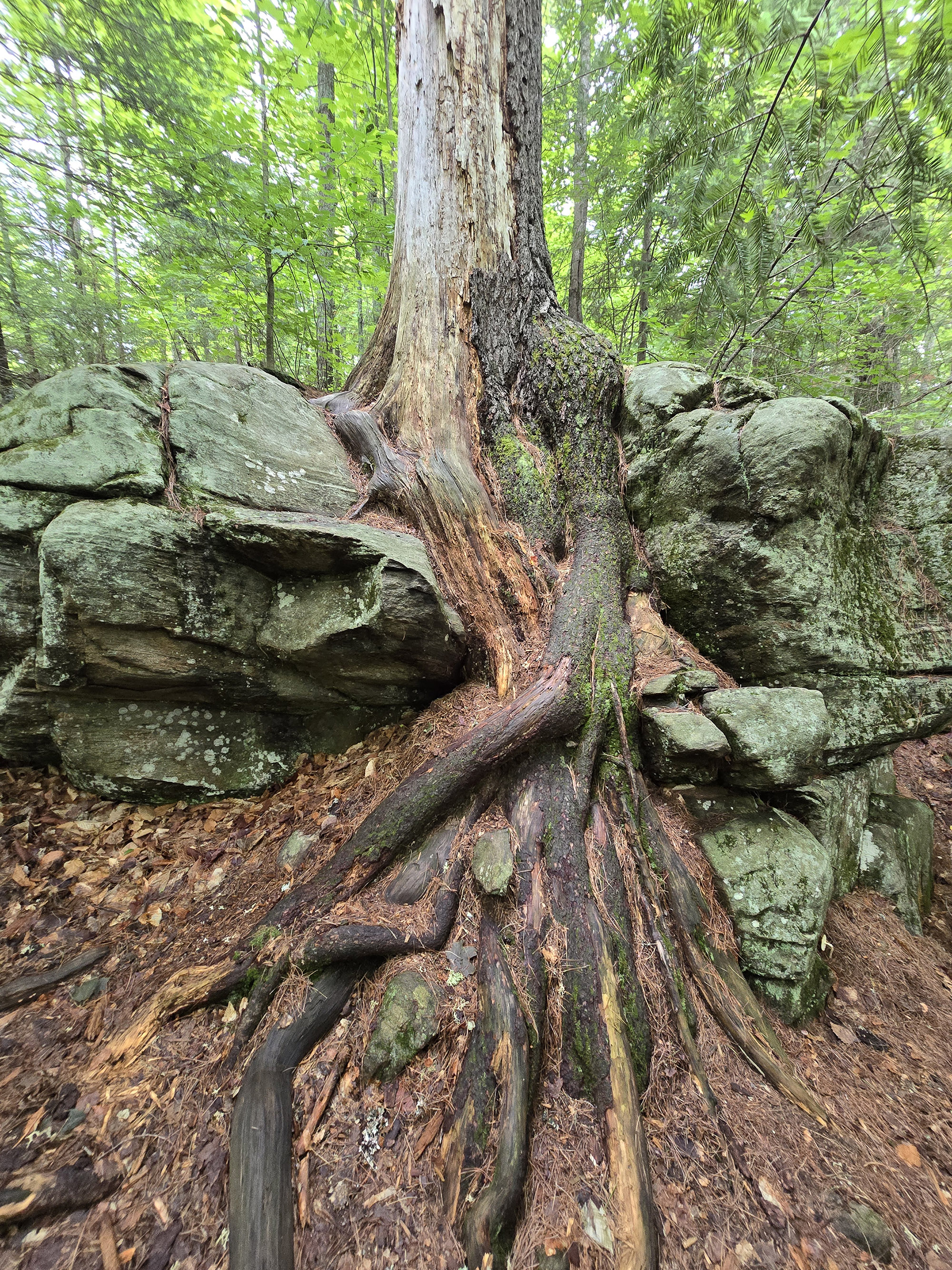
At 930 meters there's a giant boulder wall area, with a massive tree seemingly growing from it. You can see the roots climbing around the boulders.
I definitely recommend taking a minute to appreciate this really cool sight. If I were in charge, there would definitely be a signpost at this tree.

Here you see skinny trees with green branches all around. The forest floor is much more open, only a few smalls trees, ferns, and bushes growing. You still pass the occasional massive tree though.
As for trail difficulty, I'm calling this a solid moderate difficulty. There's a lot of rough footing due to large and small tree roots in the path, you have to watch your feet a fair amount.
Most of the elevation changes are modest, but there are a couple of short moderate inclines. There's even one section that is steep, but it's short and has natural roots and rocks that help as natural steps.
The trailhead had called this an easy hike, but it's listed as moderate in the trail guide. There's just too much rough footing and elevation changes to call this an easy hike, in my opinion.

There's a lot more of the fencing in this area, and you see signpost 6 designating the remains of the logging camp. If you look close you can tell where the building foundations are.
Honestly there's really nothing to see of the camp, but again I understand they fenced it off as an important historical area.
Visually, the fence really detracts from the scene. It's really weird to be in the middle of Algonquin and walking past a fence. It's only a short section though, soon you're back on traditional trail.
Just after the fence ended I was excited to see a massive erratic boulder, covered in mosses and lichen. I can't be the only one that gets excited to see a giant moss-covered boulder, can I?

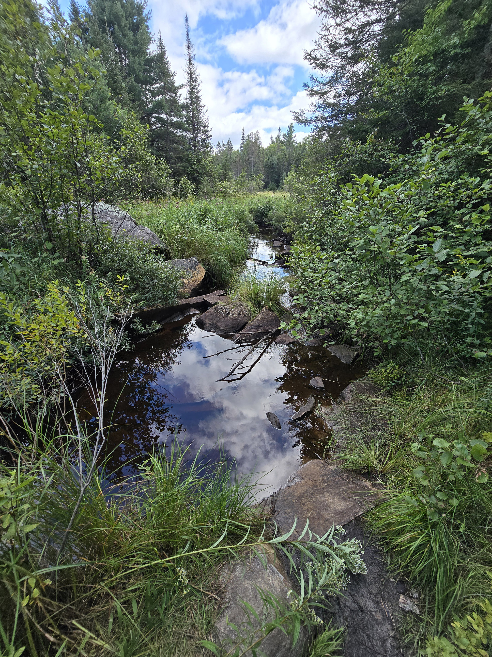
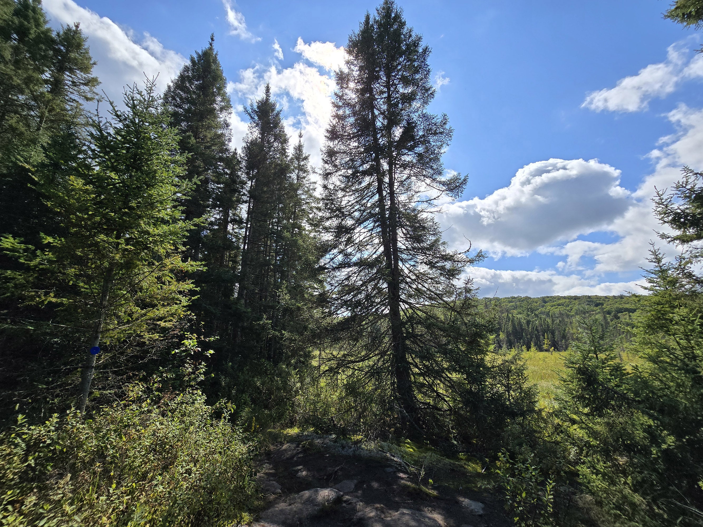
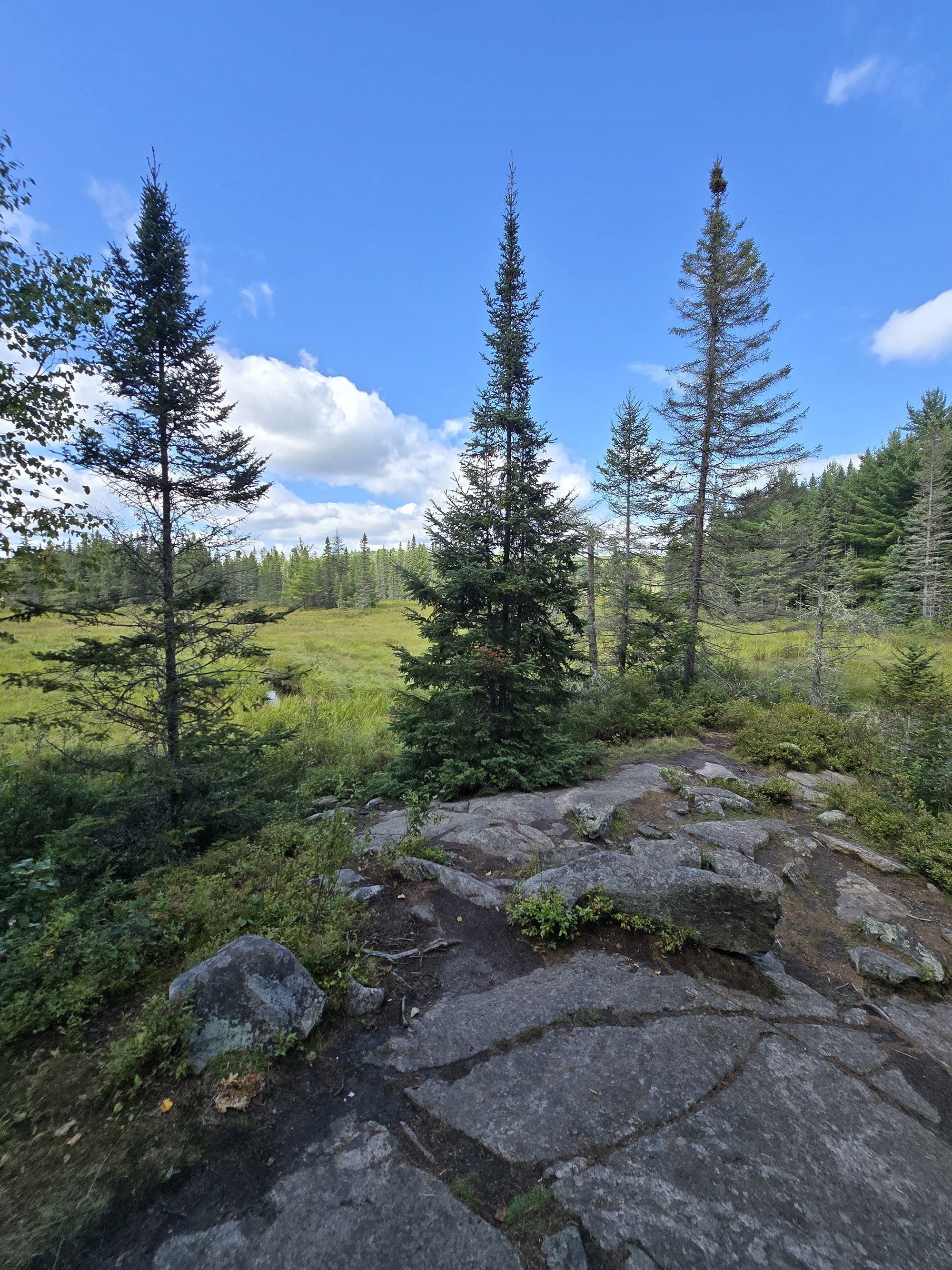
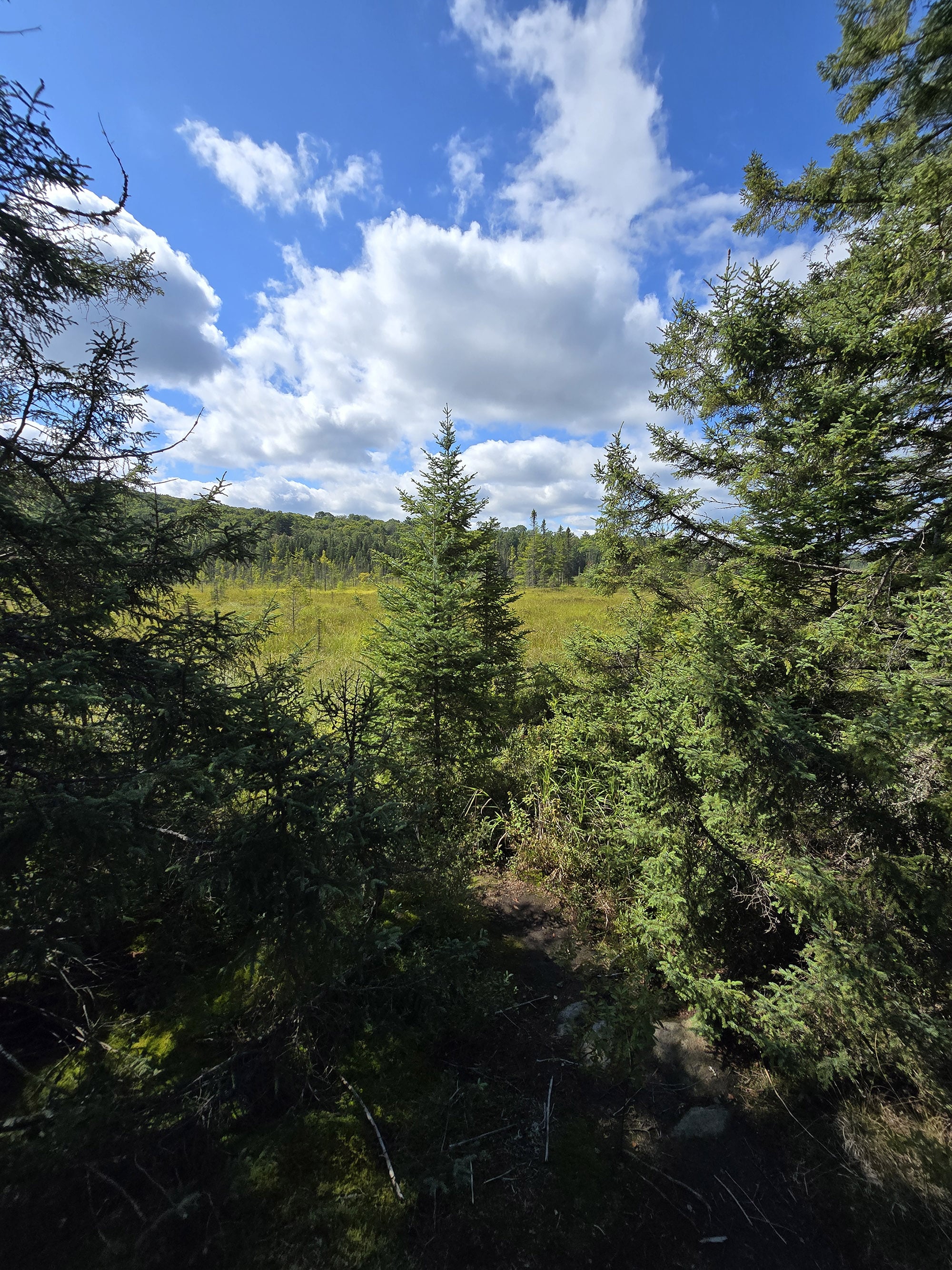
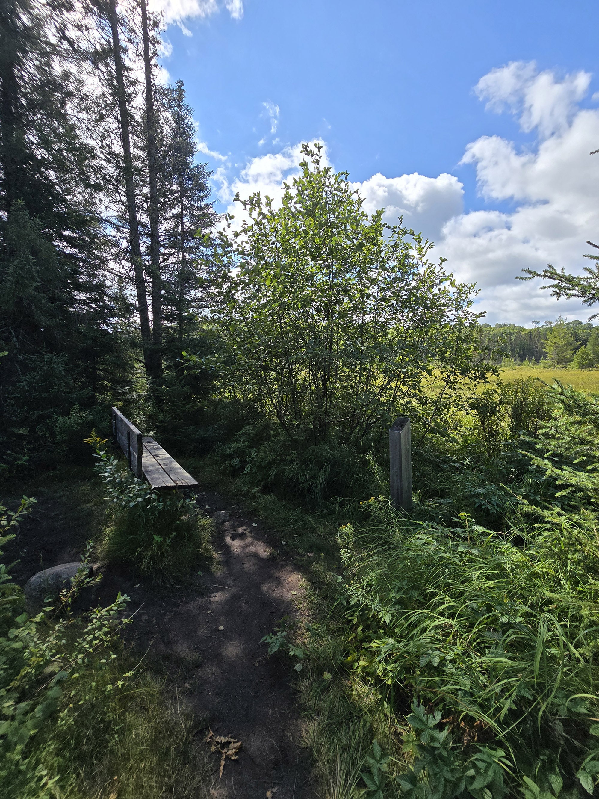
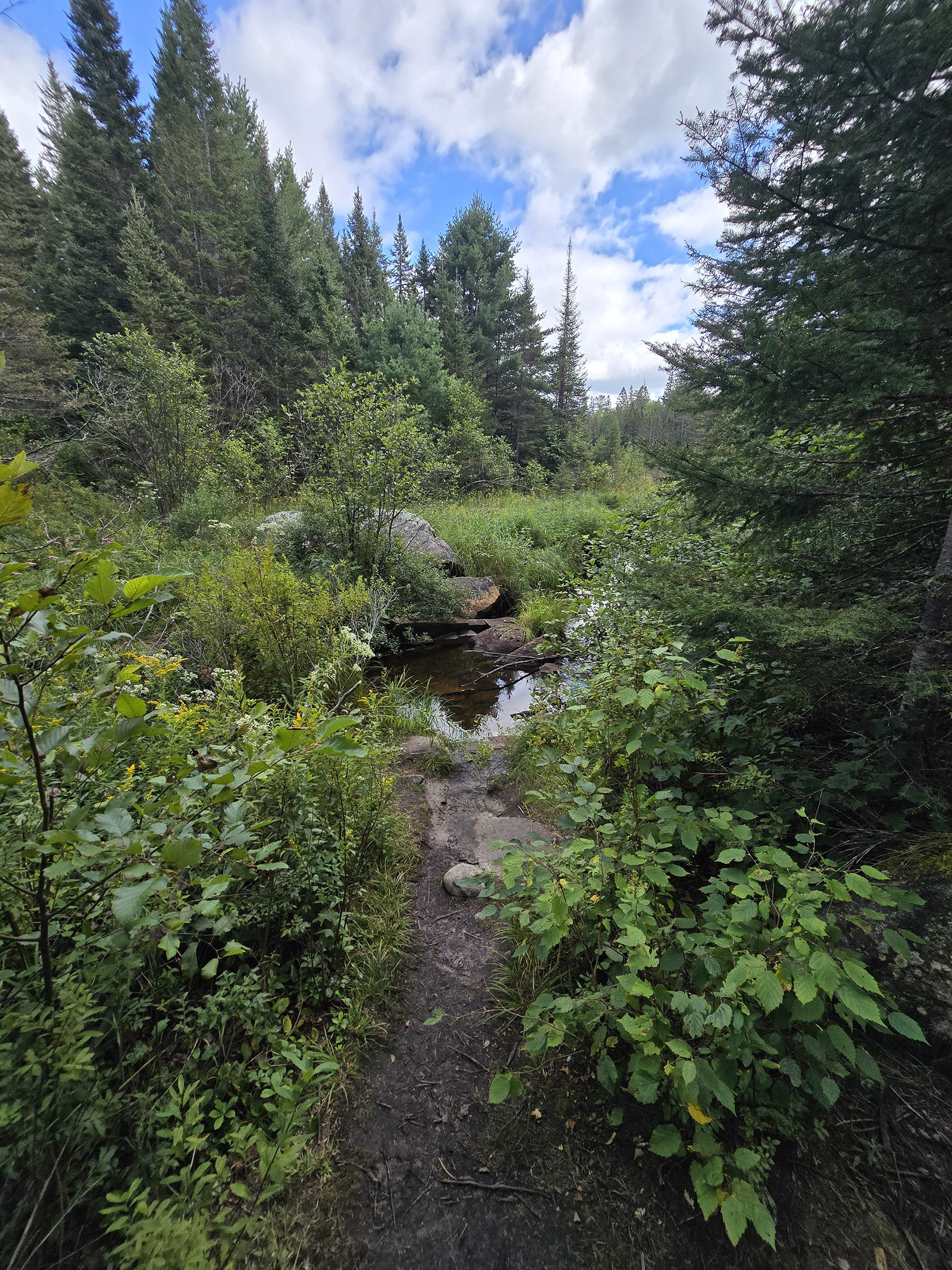
Shortly after this it opens up to an area with a view of a large marshy grassland. There are some great views here in multiple directions as the trail turns to the left.
There is a bench at signpost 7 at 1.84 km, but in my opinion you've already passed the best of the marshy area.
There's actually a large bush that obscures the view from the bench, but there's a small opening in the trees that you can look through to the side of the bench.
At 1.92 km I passed more fence. I think this might be the back side of the logging camp area. The trail shifts away from the marshy area, diving back into thick but young forest.

By 2.45 km the percentage of birch has faded away, giving way to mostly pine again. Still lots of mushrooms on the ground too!
At 2.72 km I noted there were a couple of short moderate inclines to deal with, and at 2.81km there's a long moderate hill going down. This leads back to the end of the loop and you follow the same short path back to the parking lot.
I clocked this trail as exactly 3km on MapMyRun.

Birding, Wildlife, and Nature
As with the other trails I did in August 2026, this one turned out to be a bit of a dud as far as wildlife viewing went.
I didn't see any large animals on my hike, and only heard a few birds: Black-Capped Chickadee, Red-Breasted Nuthatch, and White-Throated Sparrow.
That said, it was FANTASTIC for viewing fungi!
There were quite a few varieties of mushrooms.
Not as many as I saw on the Hemlock Bluff trail the day before, but still quite a lot. I always like to see how many different varieties I can spot on a trail!

Educational & Cultural Opportunities
While there are no educational signs on the Big Pines Trail, you can pick up a Friends of Algonquin trail guide at the trailhead.
It’s free to use and return, or you can keep it for $0.50 - there’s a coin collection pay tube thing at the trailhead.
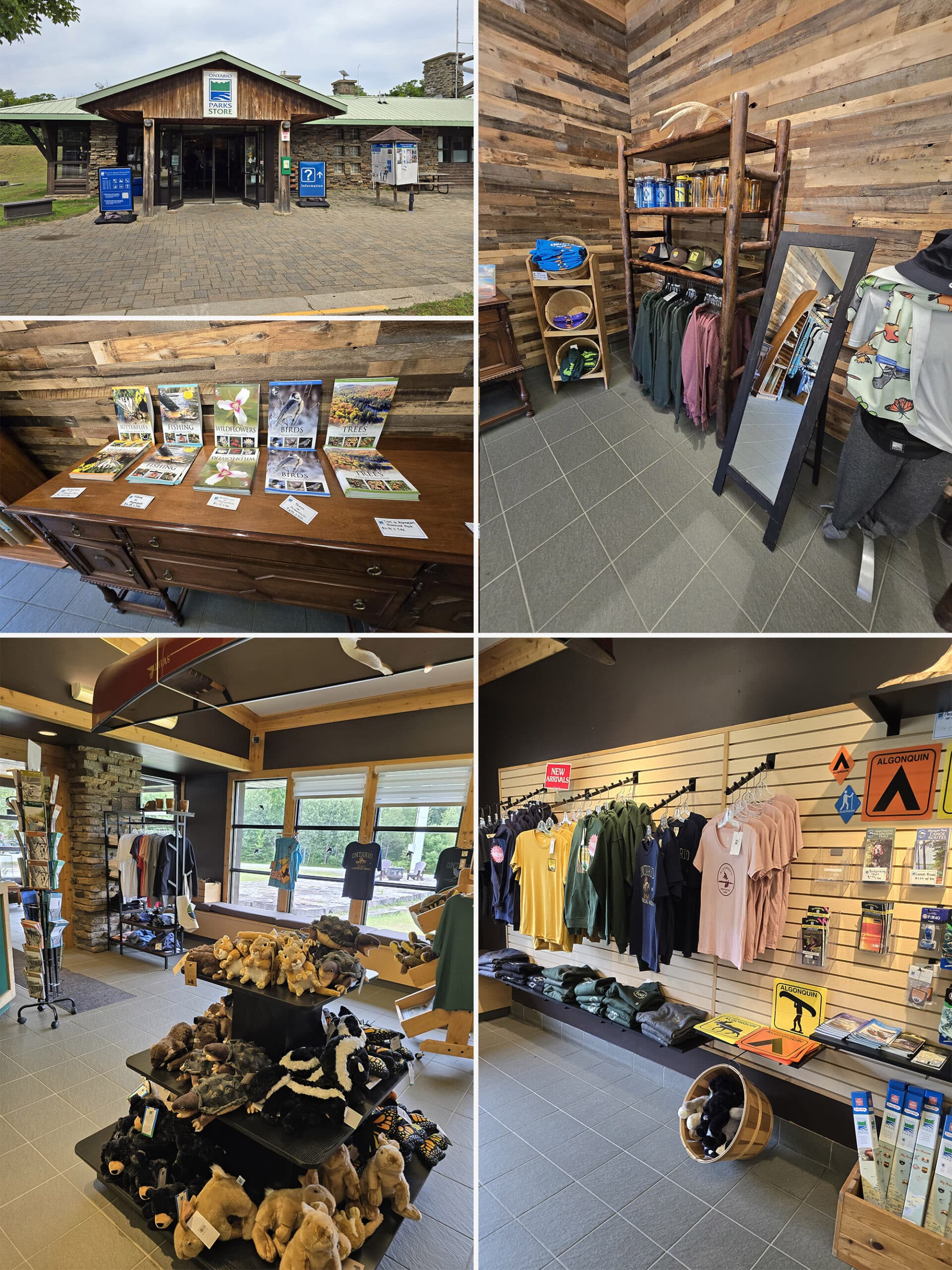
Alternately, the guides are available for purchase at the visitor centre, and at the gates.
These guides are amazing educational accompaniments to the trails in Algonquin Provincial Park, teaching about the geology, flora, and fauna you might see on your hike, as well as some of the history of the area.
They also tend to include information about the elevation changes throughout each trail.
All around, a great resource to refer to while you’re on the trail!
Anyway - Unsurprisingly - the focus of this trail’s guide is Pine Trees. Shocking, I know!

At signpost 5 - a century-old section of felled tree trunk with many plants growing from it - ended up being surrounded by a fence. I understand, it's an important and delicate feature.
There are gaps in the fence, roughly 50mm, that will allow shorter visitors to see the tree trunk somewhat.
It was nice to see, but unfortunately the fence really detracts from the photos of this one.

Winter Activities
Big Pines Trail is listed in the “Additional Trails - Parking Lot Conditions Permitting” section of the Algonquin Winter Guide.
This basically means that a trail is available for use if you can get to it, but they’re not necessarily going to plow the lot.
These trails are generally a lot less popular than the “recommended” / plowed parking lot trails, so the trails aren’t usually anywhere near as well packed.
That said, the trail is available for winter hiking and snowshoeing.
Final Thoughts
For walking through a pine forest, there was more variety in what I was seeing than I expected. The massive pine trees are very impressive, I recommend doing this trail at least once.
There are a lot of amazing trails in Algonquin, and the trails I tend to repeat are the ones with lots of overlooks and water views.
I'll be more likely to repeat those trails, but I think this could be a nice trail to repeat in fall when those birch trees have yellow leaves.
More Algonquin Provincial Park Trail and Campground Reviews
Want to read some more of what we have to say about the campgrounds and attractions in Algonquin Park?
Check out our Algonquin Provincial Park Mega Post, or any of the links below for even more in-depth info:
Algonquin Provincial Park Campground Guides / Reviews
Achray Campground, Algonquin Provincial Park
< a href="https://2nerdsinatruck.com/brent-campground/">Brent Campground, Algonquin Provincial Park
Canisbay Lake Campground, Algonquin Provincial Park
Kearney Lake Campground, Algonquin Provincial Park
Kiosk Campground, Algonquin Provincial Park
Lake of Two Rivers Campground, Algonquin Provincial Park
Mew Lake Campground, Algonquin Provincial Park
Pog Lake Campground, Algonquin Provincial Park
Raccoon Lake Campground, Algonquin Provincial Park
Rock Lake Campground, Algonquin Provincial Park
Tea Lake Campground, Algonquin Provincial Park
Whitefish Lake Campground, Algonquin Provincial Park
Algonquin Provincial Park Trail Guides / Reviews
Barron Canyon Trail, Algonquin Provincial Park
High Falls on York, Algonquin Provincial Park
Provoking Falls, Algonquin Provincial Park
Interested in exploring campgrounds beyond Algonquin Park? We've got a huge - and ever-growing! - list of them here: 2 Nerds in a Truck Campground Reviews.
We also have posts on Ontario Waterfalls, other Places to See, and a ton of Camping Recipes to cook up, while on your adventures!
Thanks for Reading!If you loved this post - or have any questions about it - please leave a comment below! We'd also love it if you would consider sharing the link on social media! |

Leave a Reply