

Mizzy Lake Trail is a popular hiking trail in Algonquin Provincial Park, known for its wildlife viewing opportunities. Here's what you need to know!

10+ km of hiking trail - usually accompanied by reports of swamping conditions, wading through muck, etc ... seemed pretty daunting.
This past spring, Porter decided to go ahead and do as much of the trail as he could. He’d done a few longer - though presumably drier! - trails in the days leading up to that point, so he was ready to give it a try!
As it turns out, he didn’t run into any of the hazards that we’d read about. The worst he had to do was navigate log-to-log to get over some short, muddy sections - no actual flooding.
While he didn’t have any luck in terms of wildlife viewing, he definitely enjoyed the trail.
Lots to talk about, so let’s get to it!
The Basics:
Name: Mizzy Lake Trail
Algonquin Park Section: Highway 60 Corridor
Kilometre Marker: km 15.4
Season: Year-Round
Trail Length: 10.8 km
Difficulty: Difficult
Suggested Completion Time: 6 hours
Logistics
Some basic information to help you plan your hike on the Mizzy Lake Trail in Algonquin Provincial Park:
Registration and Check In
All hiking trails in Algonquin Provincial Park require a valid permit to be within the park in the first place. There are a few different ways you can do this, depending on how you’re visiting the trail.
1. If you’re currently camping in Algonquin
If you have a current, valid camping permit for a campground in Algonquin Provincial Park - you just show up to the trail. Your license plate number is already registered with the park, and you’re good to go.
2. If you’re currently camping in a DIFFERENT Provincial Park
If you’re driving in for a day trip from somewhere like nearby Arrowhead Provincial Park, Bonnechere Provincial Park, Lake St Peter Provincial Park, or Silent Lake Provincial Park - you can take advantage of the reciprocal program.
With a few exceptions, a current and valid camping permit from one Ontario Provincial Park will act as a daily vehicle permit at another.
You just need to show up at one of the gates on the way in (East Gate and West Gate are the ones on either end of Highway 60), and show proof of that permit - a paper permit if your campground has it, or your email confirmation.
They will register your license plate number and you’re free to go - no additional fees required!
3. If you have an annual Ontario Parks Pass
Generally speaking, all you have to do is show up at one of the gates, present your pass, and have your license plate noted.
Note: Sometimes you’ll need to reserve a daily vehicle permit ahead of time. This is usually during peak fall colours season, when certain areas of the park reach capacity.
4. If you don’t have any sort of camping permit or Parks Pass in place
You can book your Daily Vehicle Permit online at Ontario Parks Reservations - up to 5 days in advance of your visit.
If you’re planning your visit for October... you might want to be ready to do so right when that 5 day window opens up, to ensure availability!
Otherwise, you can pay for a DVP at any one of the Algonquin Provincial Park gates.
Note: Some of the trailheads have QR codes for booking your DVP, but with such spotty internet throughout the park ... I really recommend doing it ahead of time.
Parking
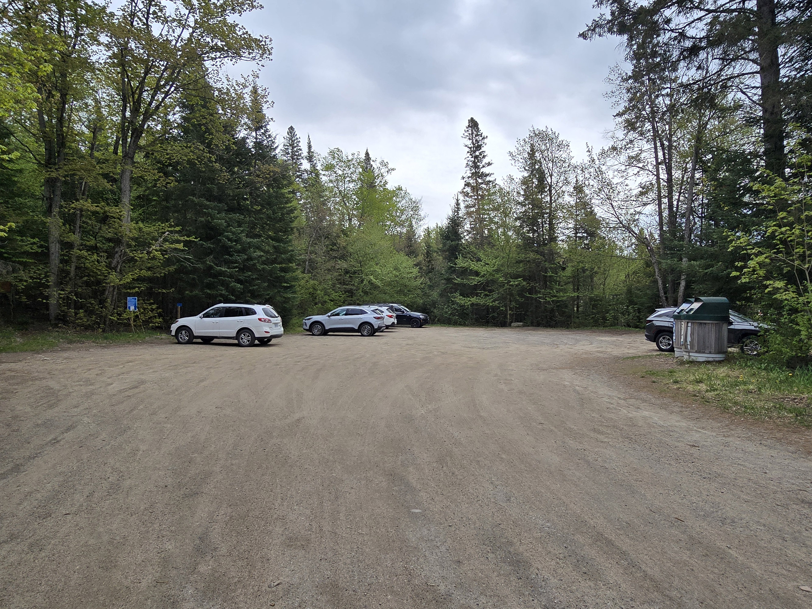
Parking for Mizzy Lake Trail is located just off the highway - you take the road to Arowhon Pines, and it’s on a split off to the right, almost as soon as you turn onto that road.
It’s a relatively small parking lot - especially for the length of the trail.
There’s no posted restriction on RVs, trailers, or busses, but it’s also not super great for larger vehicles.
You shouldn’t have a problem if it’s relatively empty, but the length of the trail means that you have a few hours for the parking lot to fill up, as you’re hiking it!
Washrooms
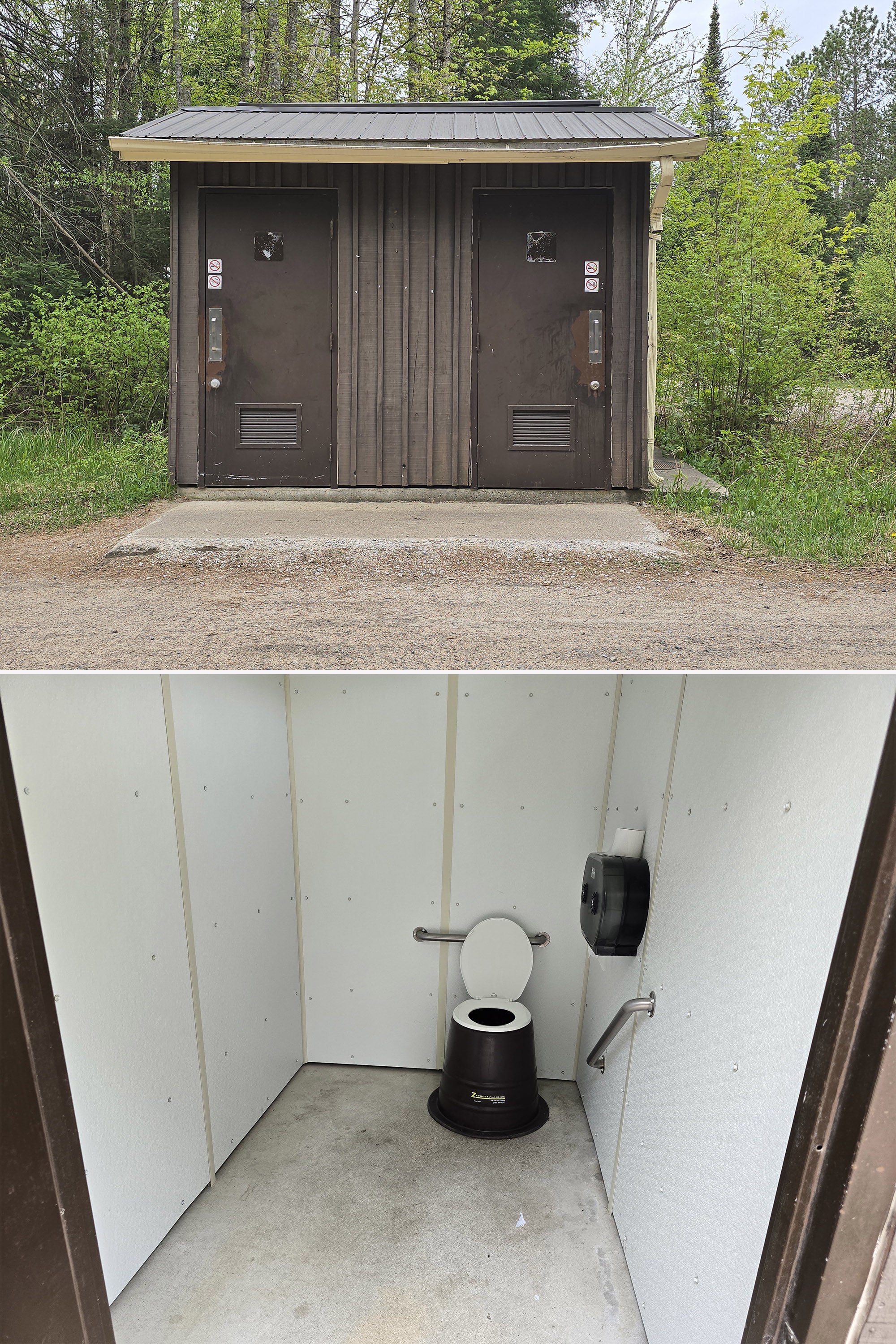
There is an outhouse with 2 vault toilet stalls, in the parking lot. This is the only washroom facility for the trail.
Maps and Signage
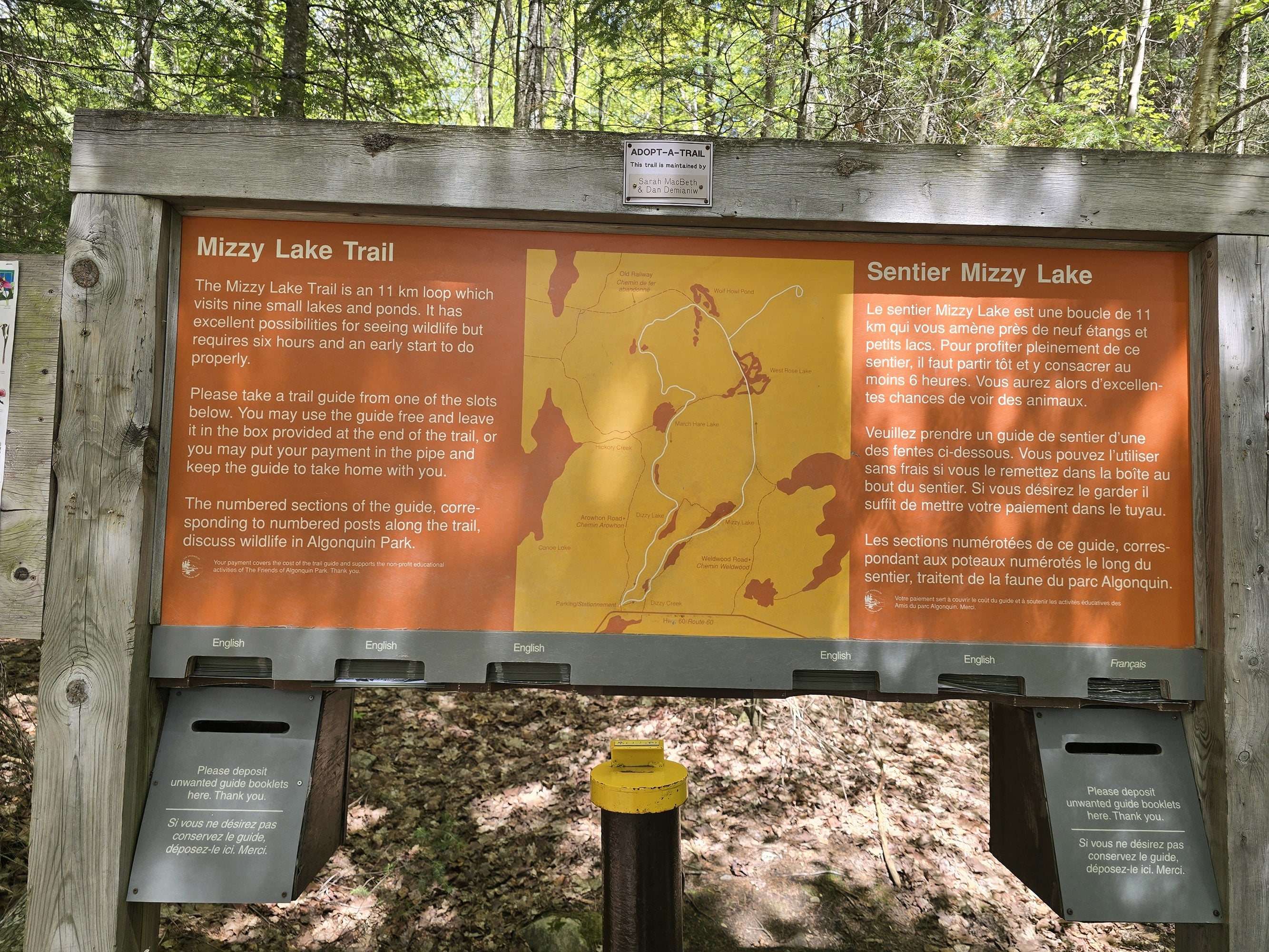
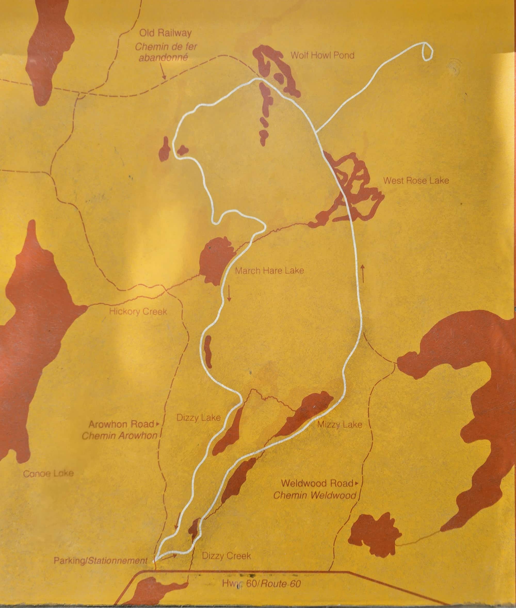
There is a rough map at the trailhead, more of a general overview than anything. There are no distances marked, etc.
For a MUCH better map, grab one of the trail guides. It has a much better map, with (roughly) segmented distances, points of interest marked, and even a graph showing the elevation changes.
It’s a great feature to prevent yourself from getting turned around.
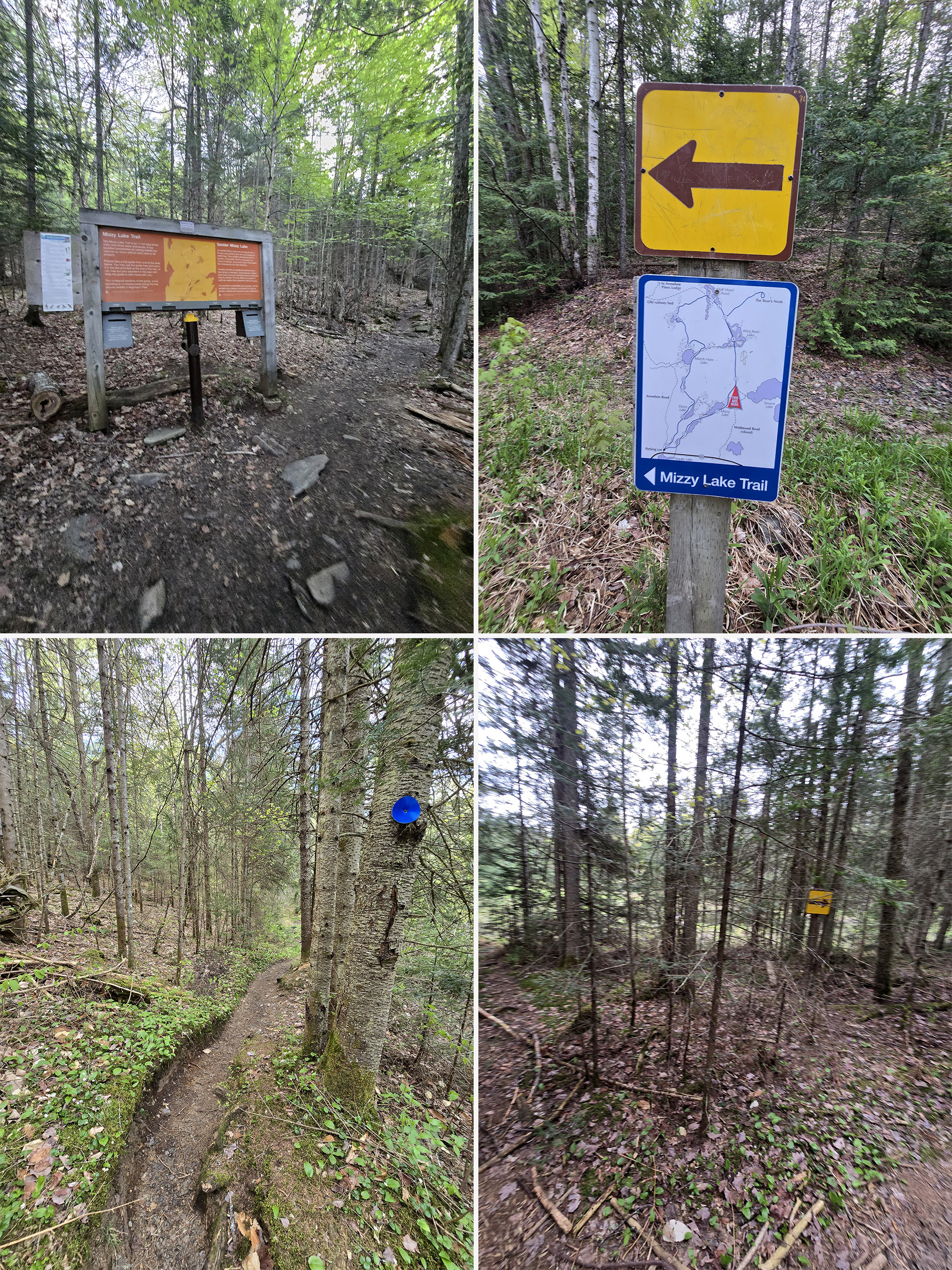
Early on, there was a spot where Porter definitely wished they had a couple extra blazes. It wasn't a big issue for him, though, it just took a few seconds to figure out where the trail went.
Accessibility
This trail is not really suitable for those with mobility issues, or using any kind of a mobility aid
Aside from it being incredibly long, it also has extended periods of rough conditions to navigate.
Pets
Dogs are NOT allowed on the Mizzy Lake Trail.
This is the only trail in the park that does not allow dogs on it, though.
Day Use Area
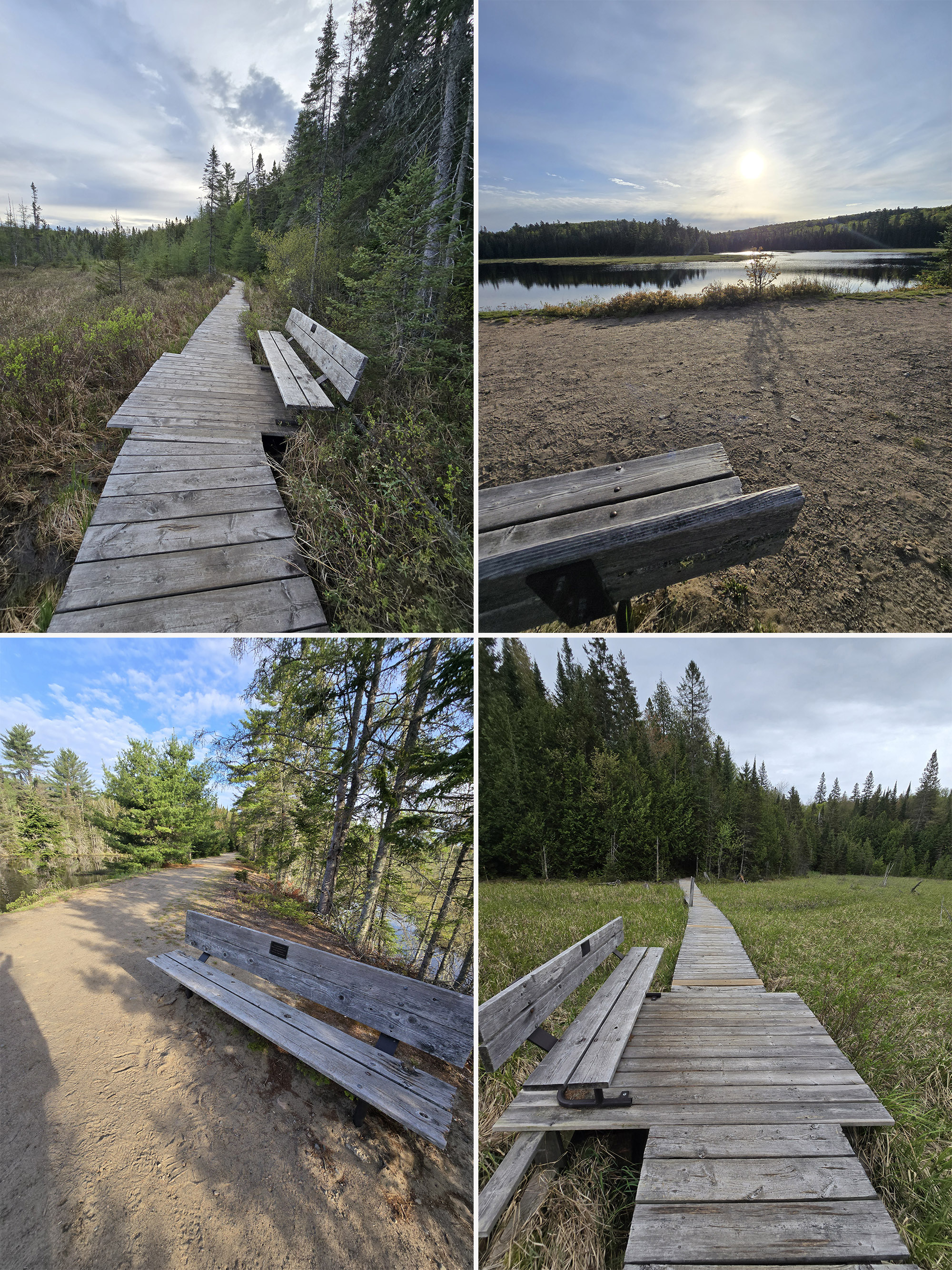
There are not picnic tables at the trailhead or along the trail, but there are a few benches along some of the boardwalk sections.
The picnic tables are along the Oxtongue River, many of which have a great view of the rapids coming off the Tea Lake Dam.

Connectivity
Cell phone coverage varies wildly in Algonquin Provincial Park, far more so than anywhere else we’ve been.
A spot may have fantastic coverage one day, then none the next. You may have fantastic coverage at one point on a trail, then none just ten metres later.
Carrier, how busy the area is, elevation, and the weather all seem to play a part.
We can’t reliably tell you what the cell coverage will be like on this trail, as a result. Our best advice is to assume there will be no cellular coverage, and plan accordingly.
Note: We can say that the most reliable place we’ve found for cell coverage in Algonquin PP has been the Visitor Center Parking lot. Also, there is wifi available inside the Visitor Centre itself.
Miscellaneous
The focus of this trail is wildlife, so it’s definitely recommended to do it as early in the day as possible.
It’s also a very long trail, so it’s advised that you at least set out early enough to leave plenty of time to be back to the trailhead by dark.
Finally, due to the varying conditions on the trail, we DEFINITELY recommend the use of sturdy, waterproof hiking boots.
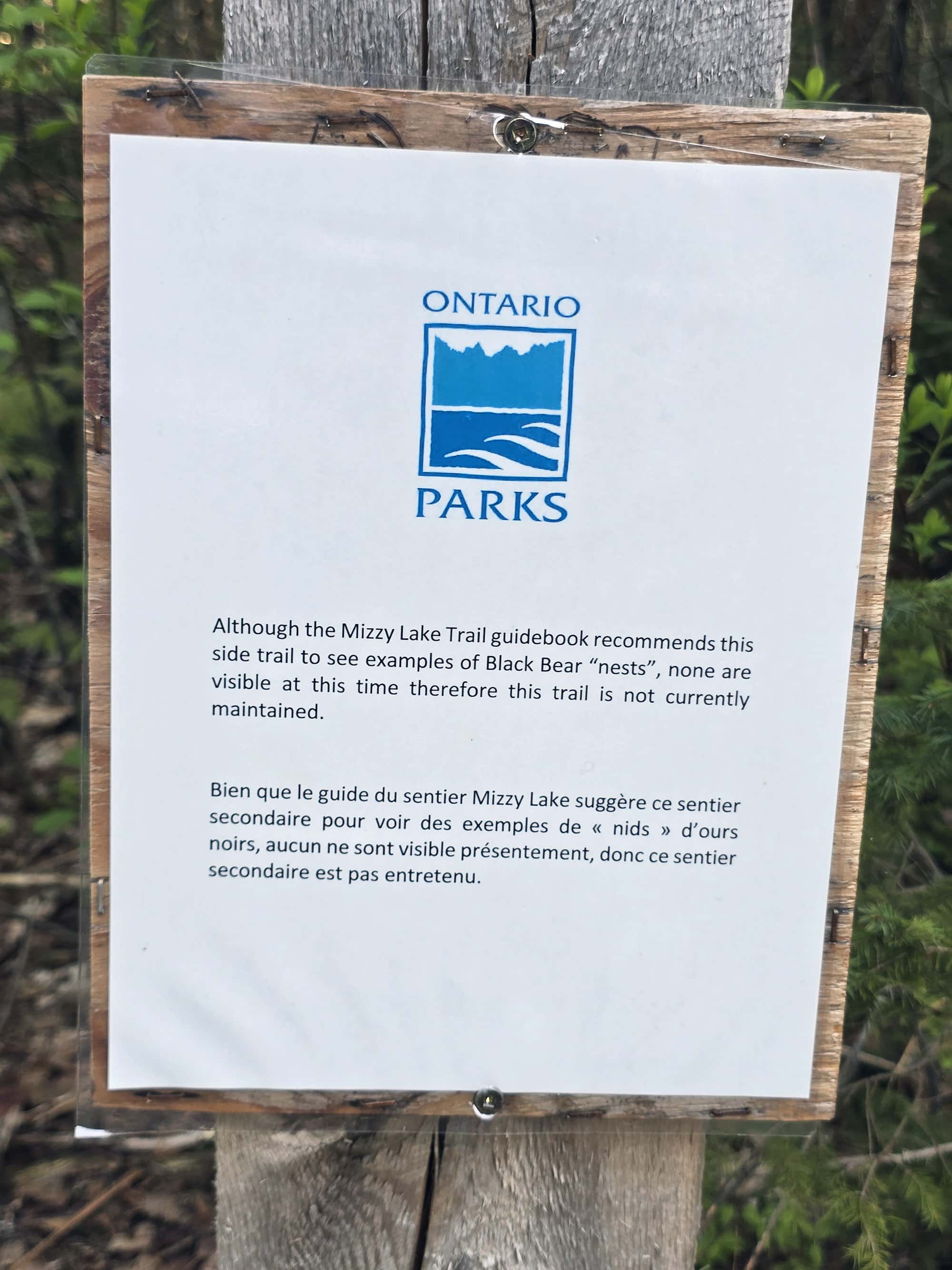
There’s an extension off the trail, shown on the map and listed in the trail guide as being a place to see bear “nests”.
That trail extension is not being maintained at the moment, as none of the nests (I’m assuming dens?) are visible/active.
Share the Love!If you’ve made one of our recipes, be sure to take some pics of your handiwork! If you post it to Bluesky, be sure to tag us - @2NerdsInATruck, or you can tag us on TikTok, if you’re posting video. We're also on Pinterest, so you can save all your favourite recipes and park reviews to your own boards! Also, be sure to subscribe to our free email newsletter, so you never miss out on any of our nonsense. Well, the published nonsense, anyway! |
Activities
Some information on the various things you can do, while hiking the Mizzy Lake Trail at Algonquin Provincial Park:
Hiking
Here’s what Porter had to say about hiking the Mizzy Lake Trail.
As a note, the photo sets are all done chronologically, but don’t necessarily line up with Porter’s commentary, below. WAY too much effort to try and fit the photos to the text!
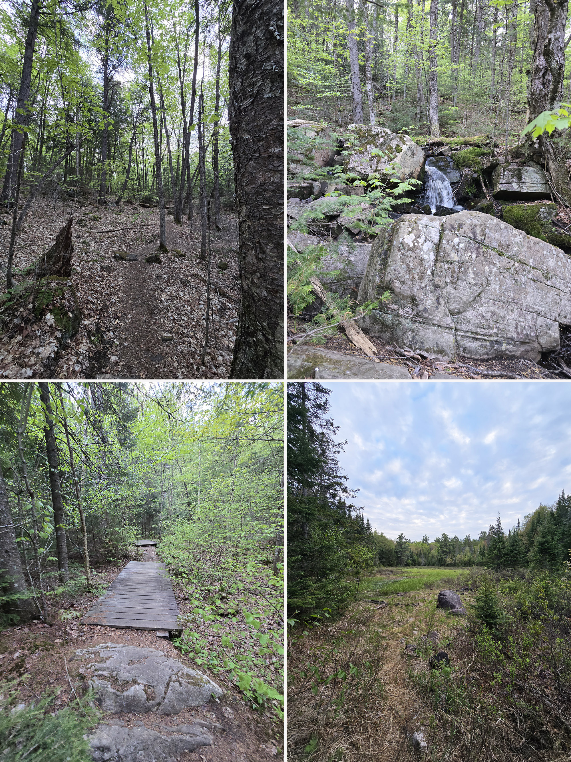
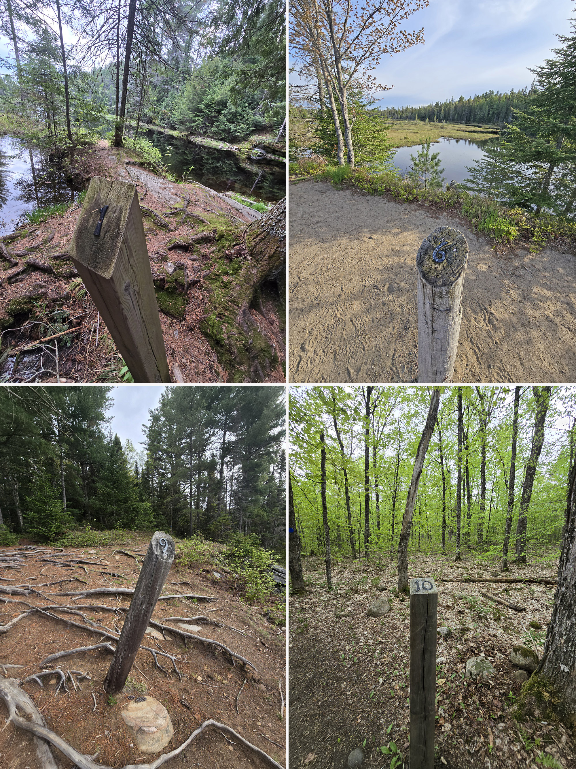
Since this is a long trail, I made sure to note how far in some of the features were located. I find that handy so you know how far it is to the next feature and how much further you have for the full trail.
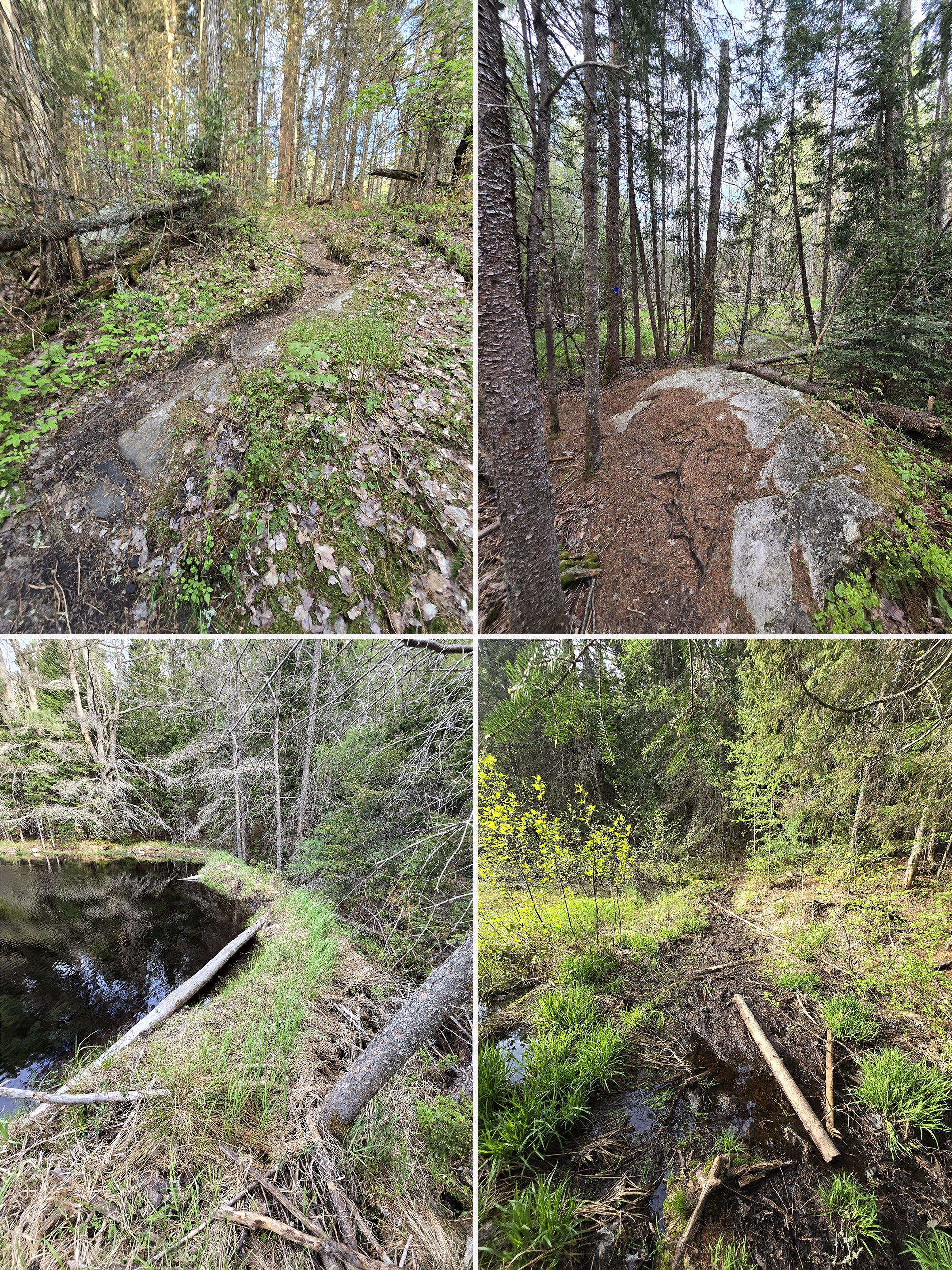
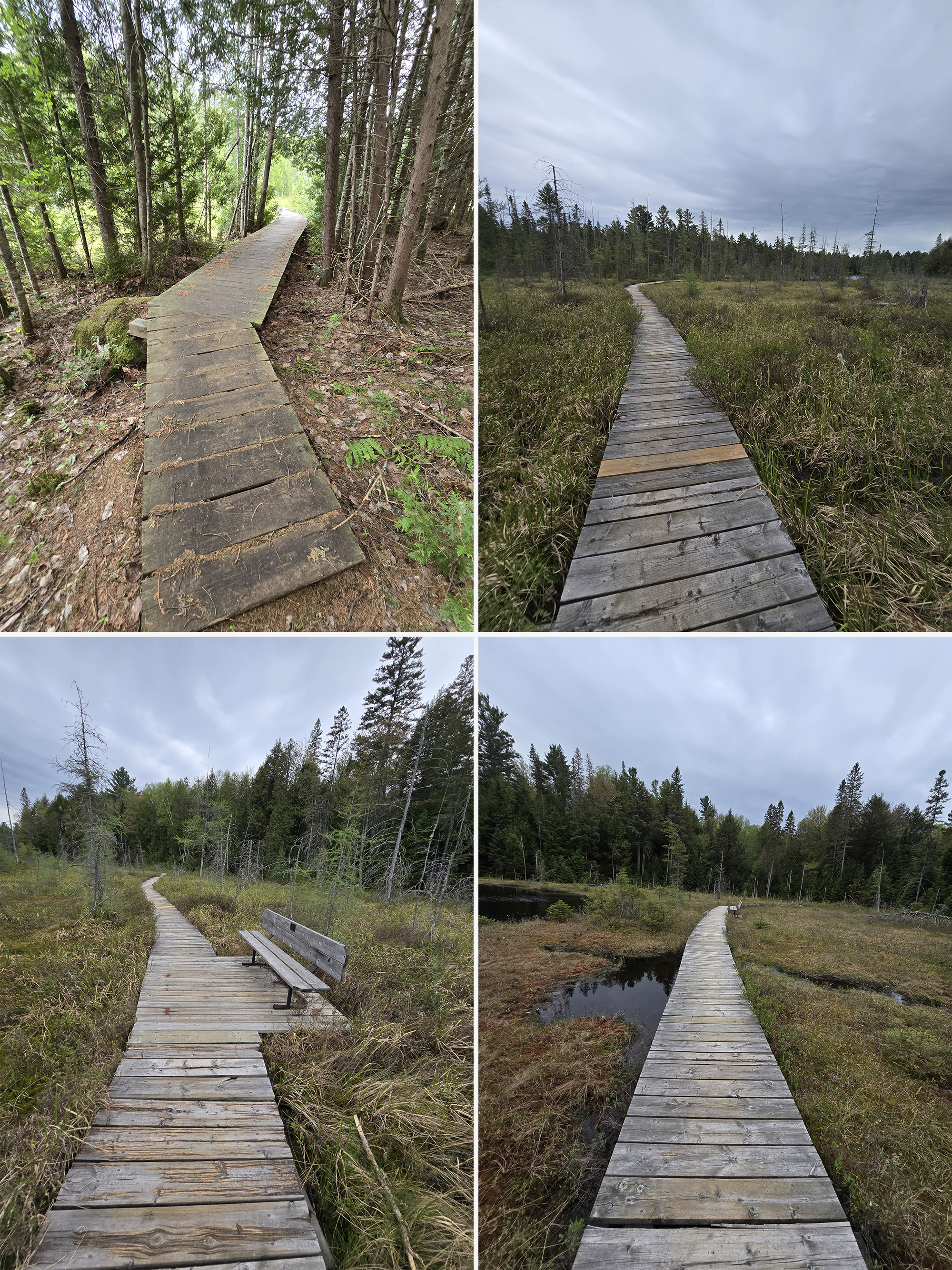
The trail starts off somewhat narrow, but there isn't any vegetation or anything encroaching onto the trail. It's well-packed, easy enough for single file travel. It rolls up and down mild hills, with rocks and roots in the way. Nothing too difficult at this point.”
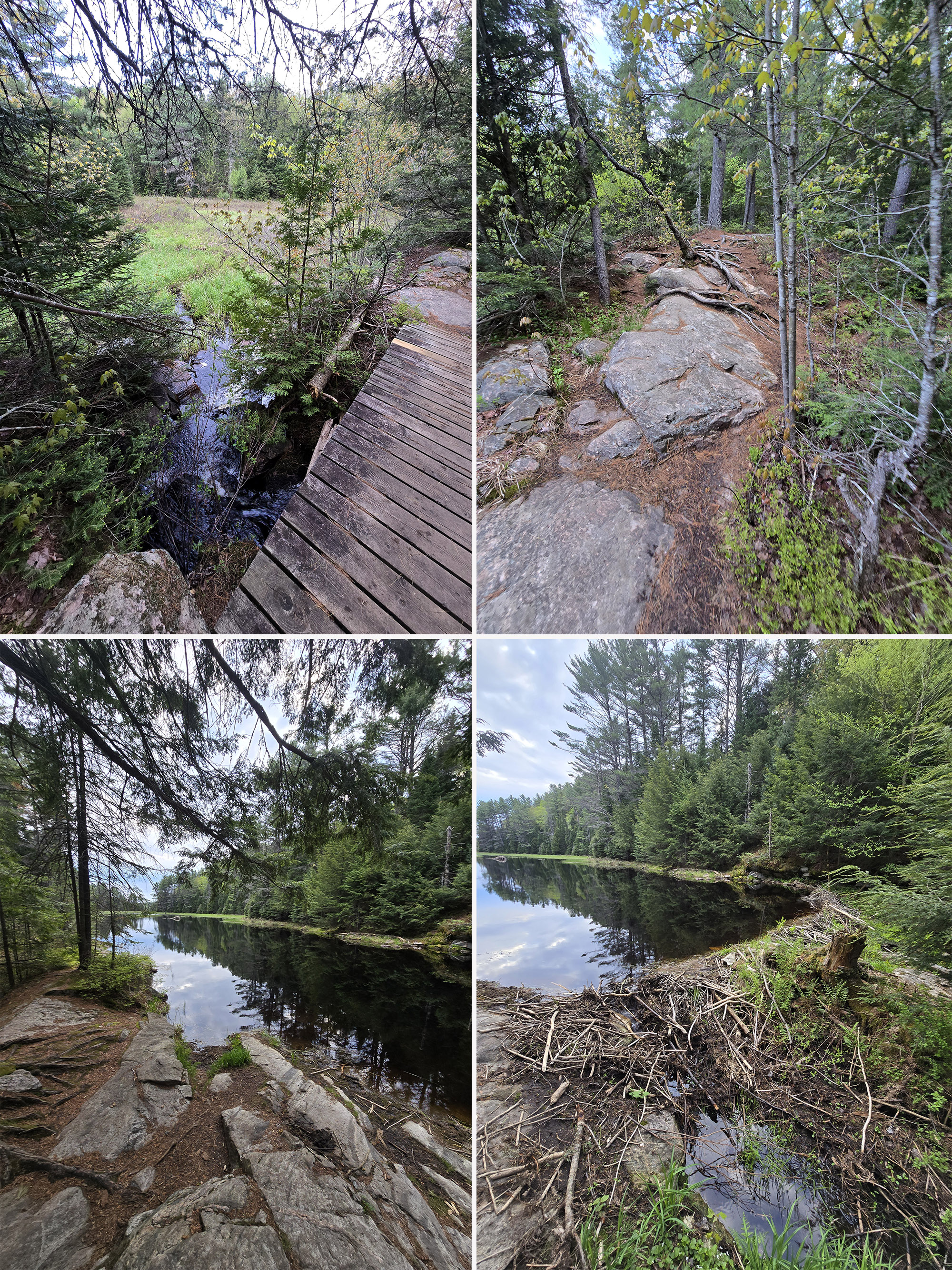
A lot of the path is along or even on top of very large boulders, but they're not that really jagged type, they're pretty smooth and easy to walk on.
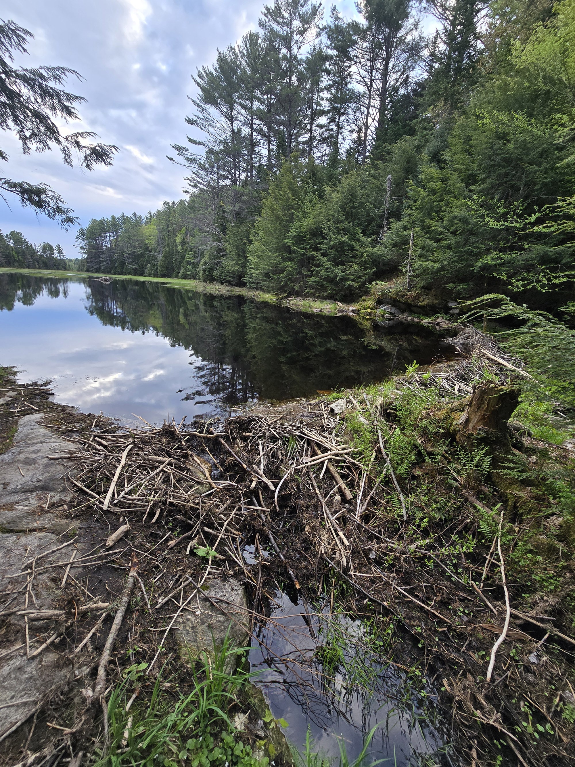
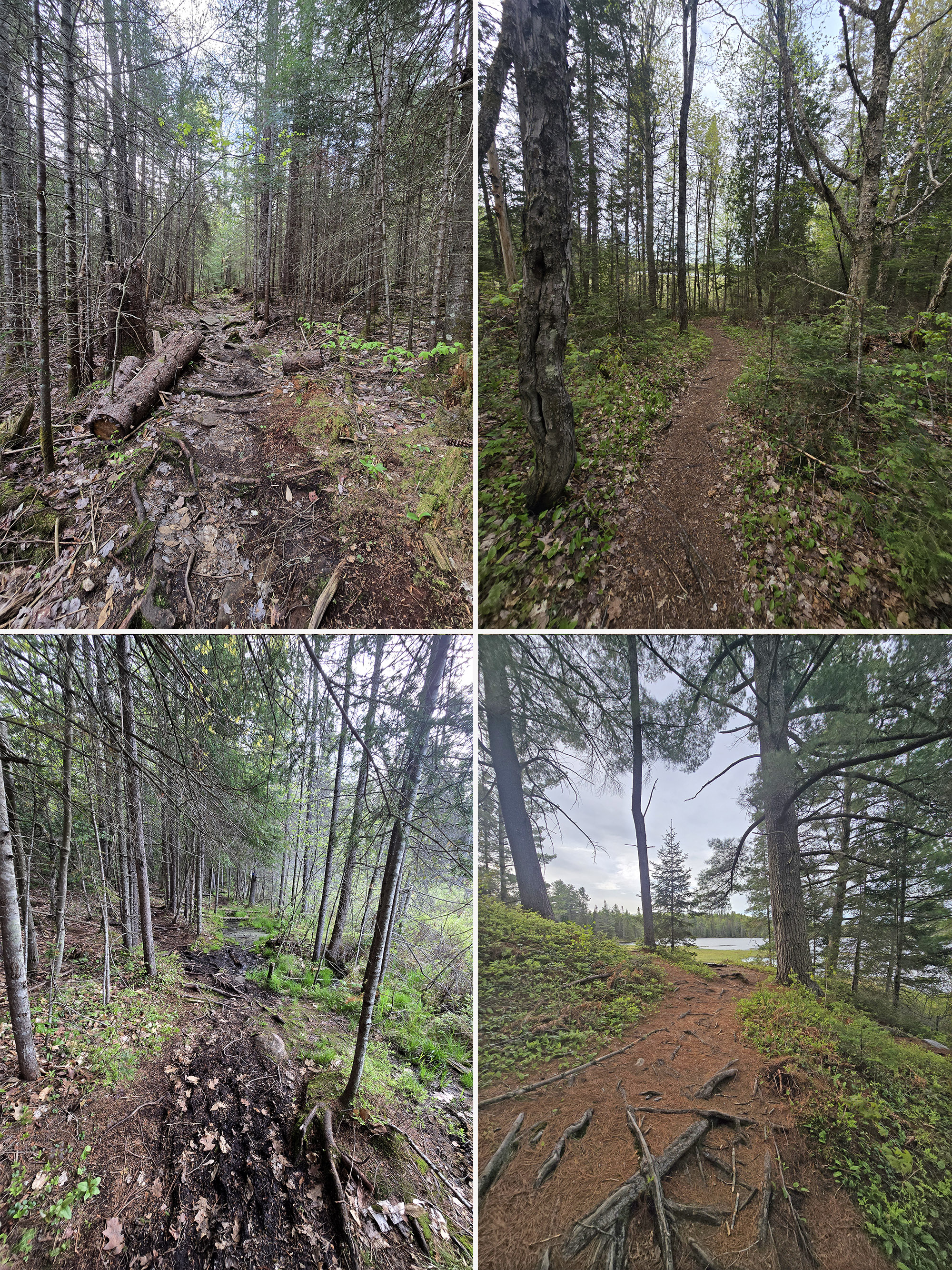
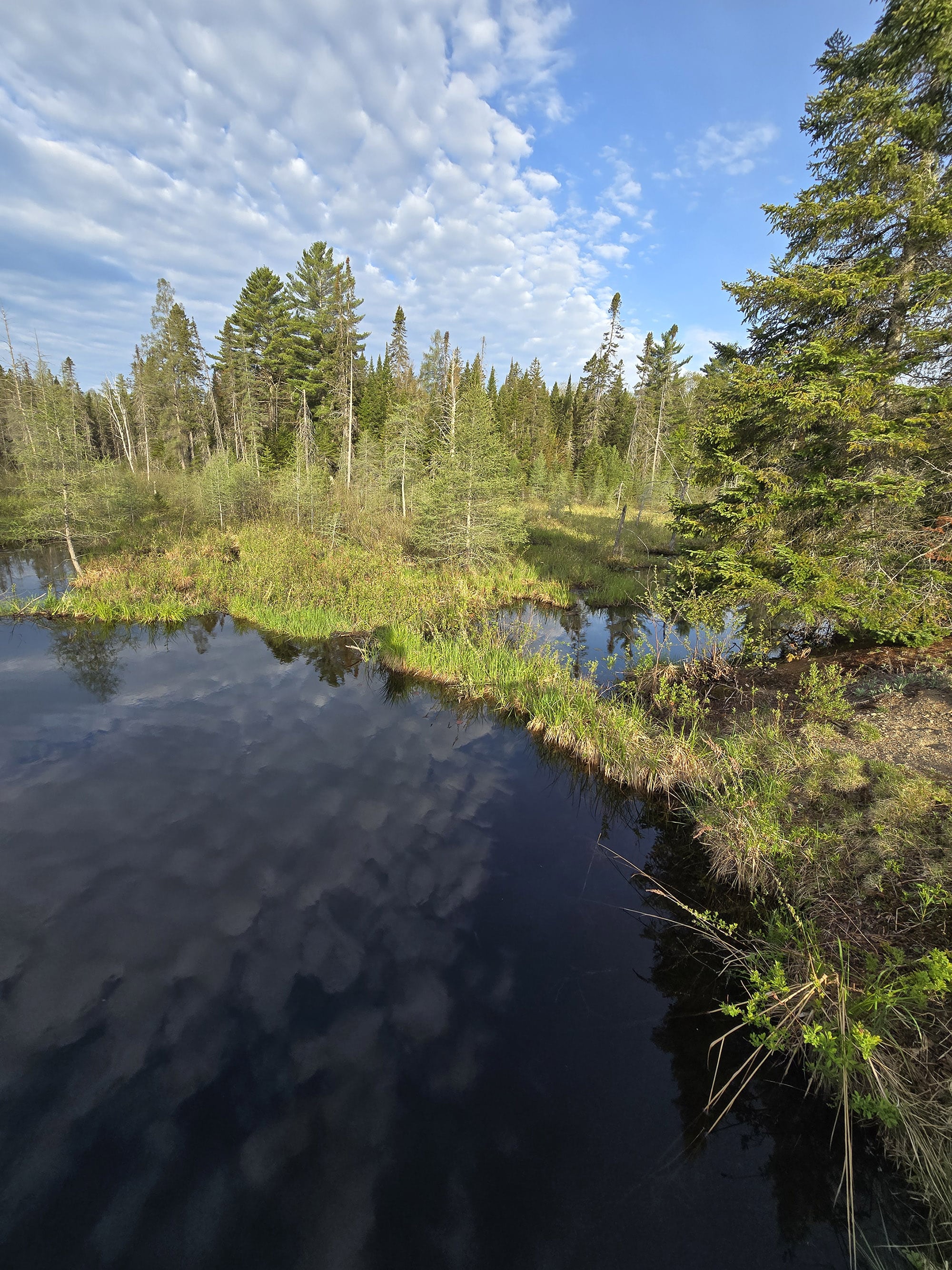
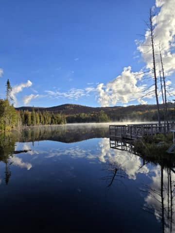
The first major lake you come to, you're at a really marshy area. I really like that you're walking very close to the water, and there are several viewpoints that don't have trees to obscure the view, and even allow you to walk right to the water's edge.
There wasn't any wildlife here as I walked by this morning, but this would be a great viewing opportunity.”
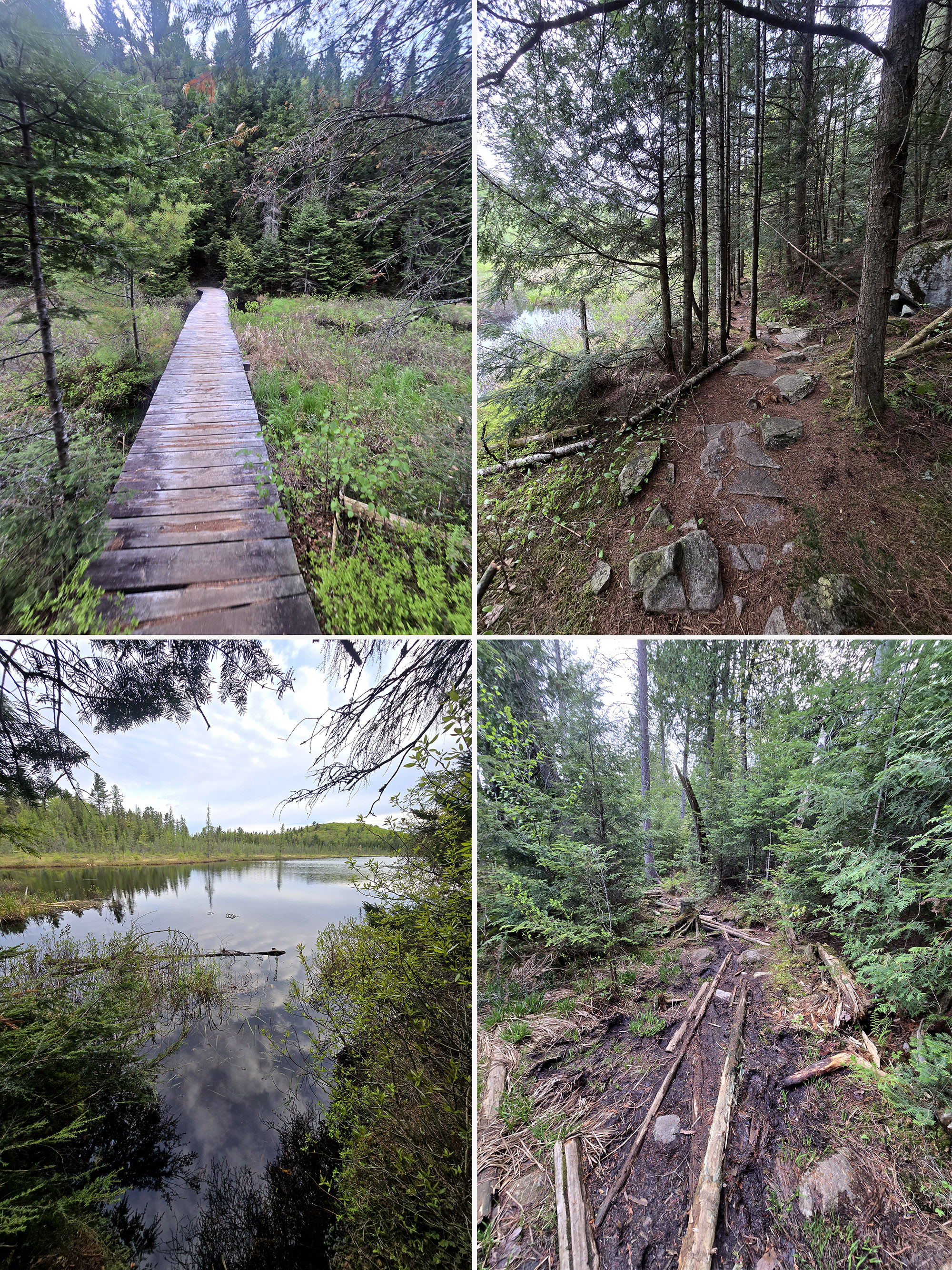
The footing is extremely rough, lots of very large gnarly roots and there are several sections that are very swampy. Logs and large sticks have been laid down so you can avoid stepping into the muck if you have good balance.
You definitely want good waterproof footwear for this trail.”
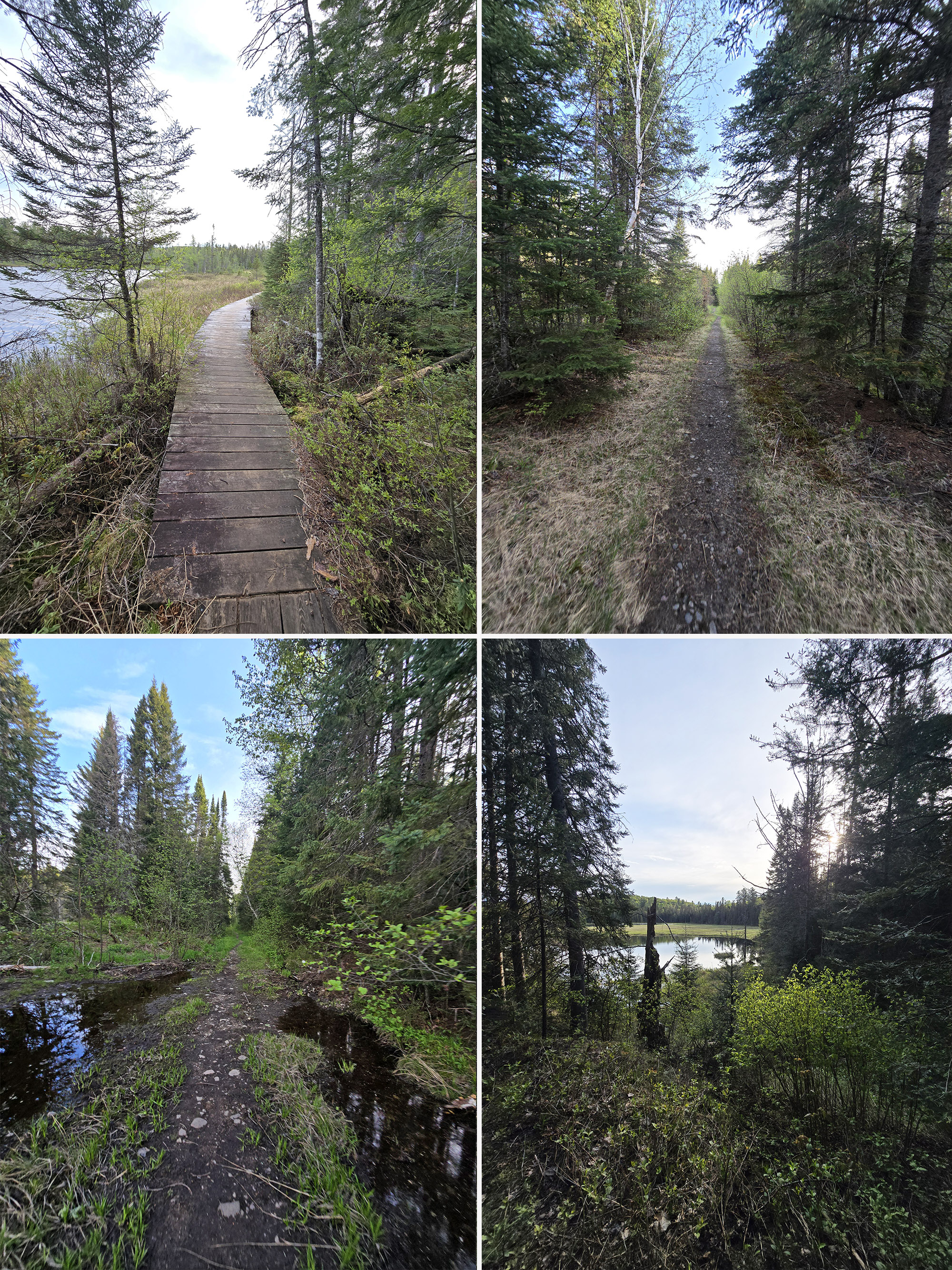
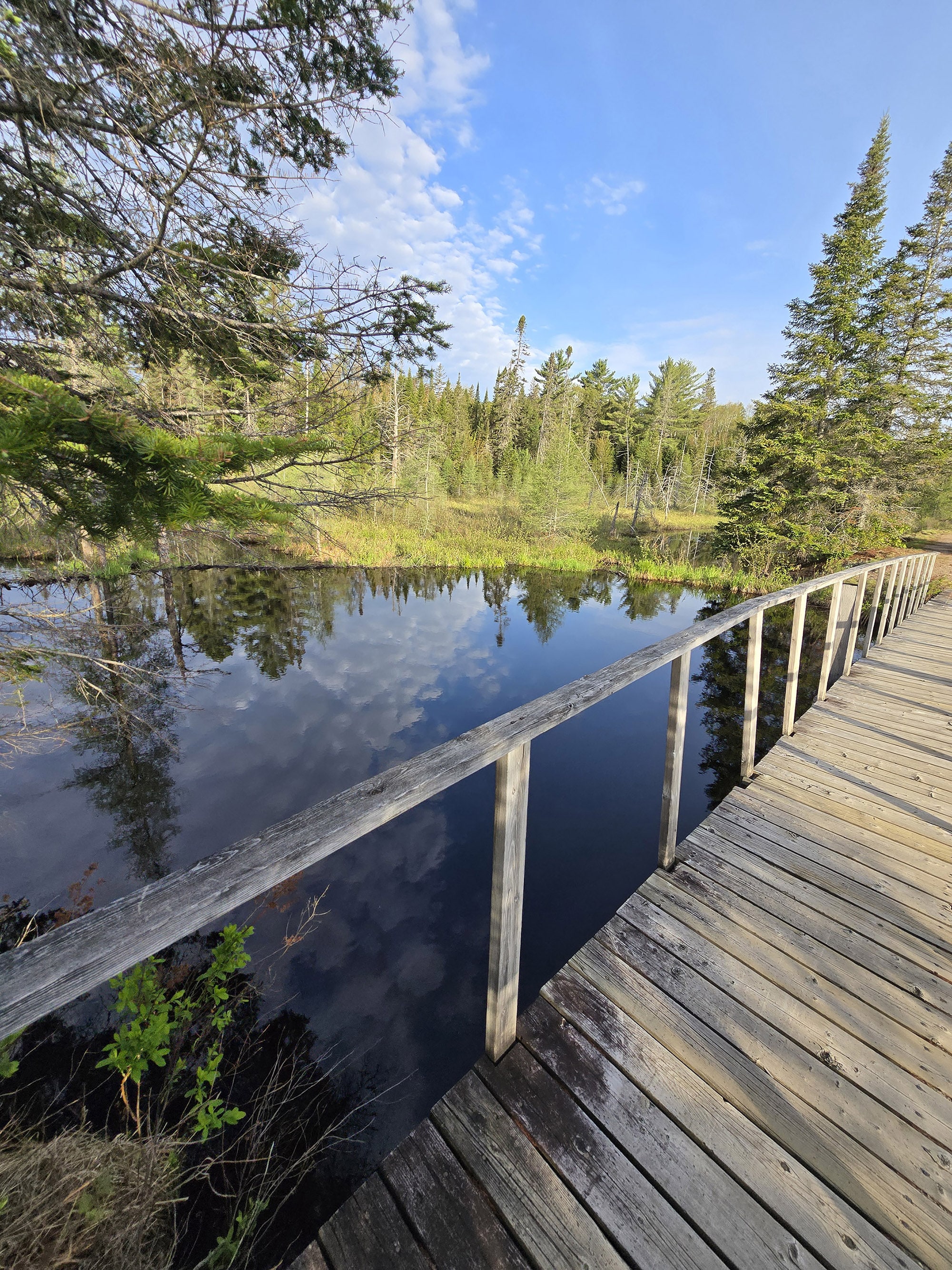
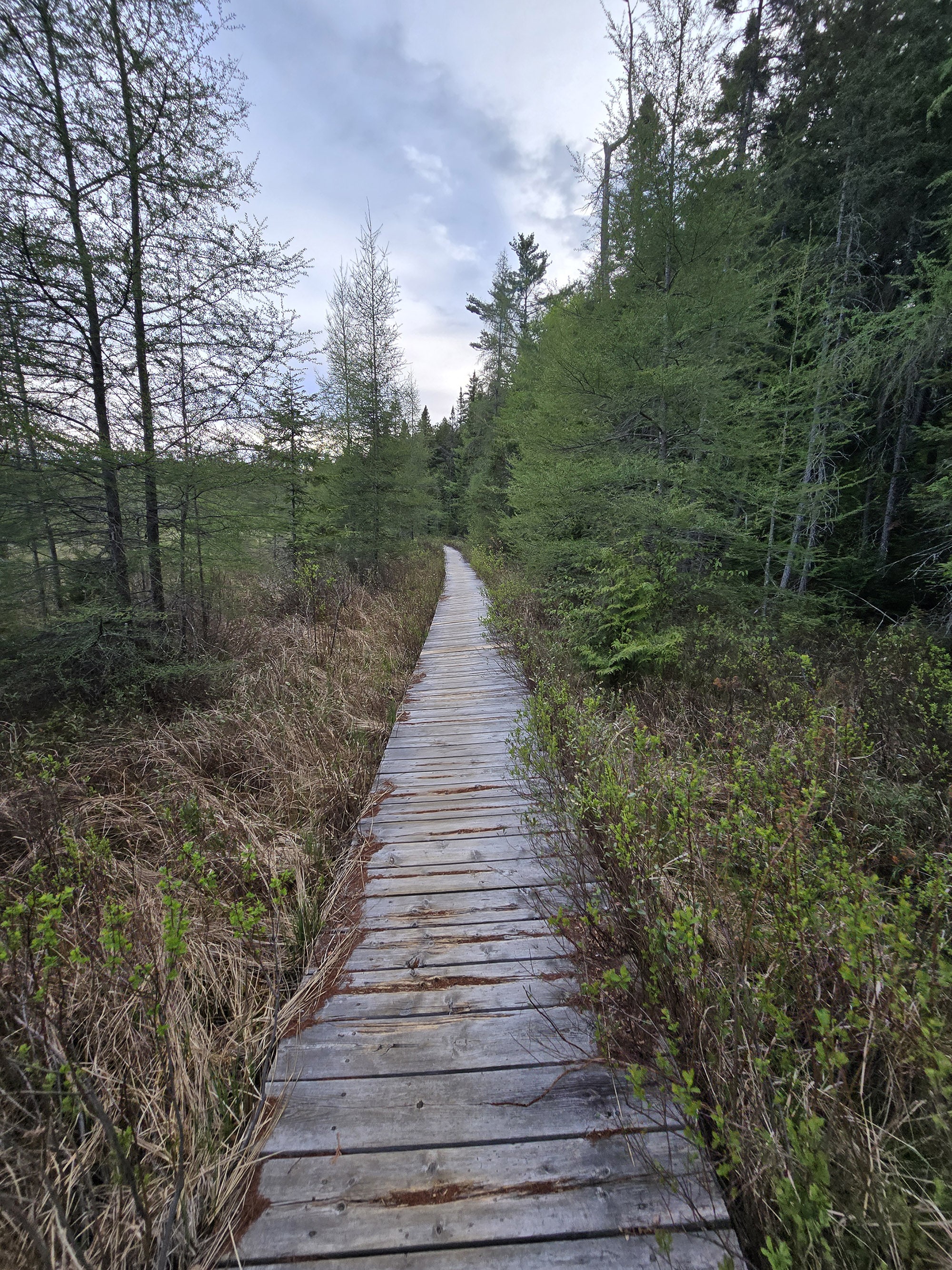
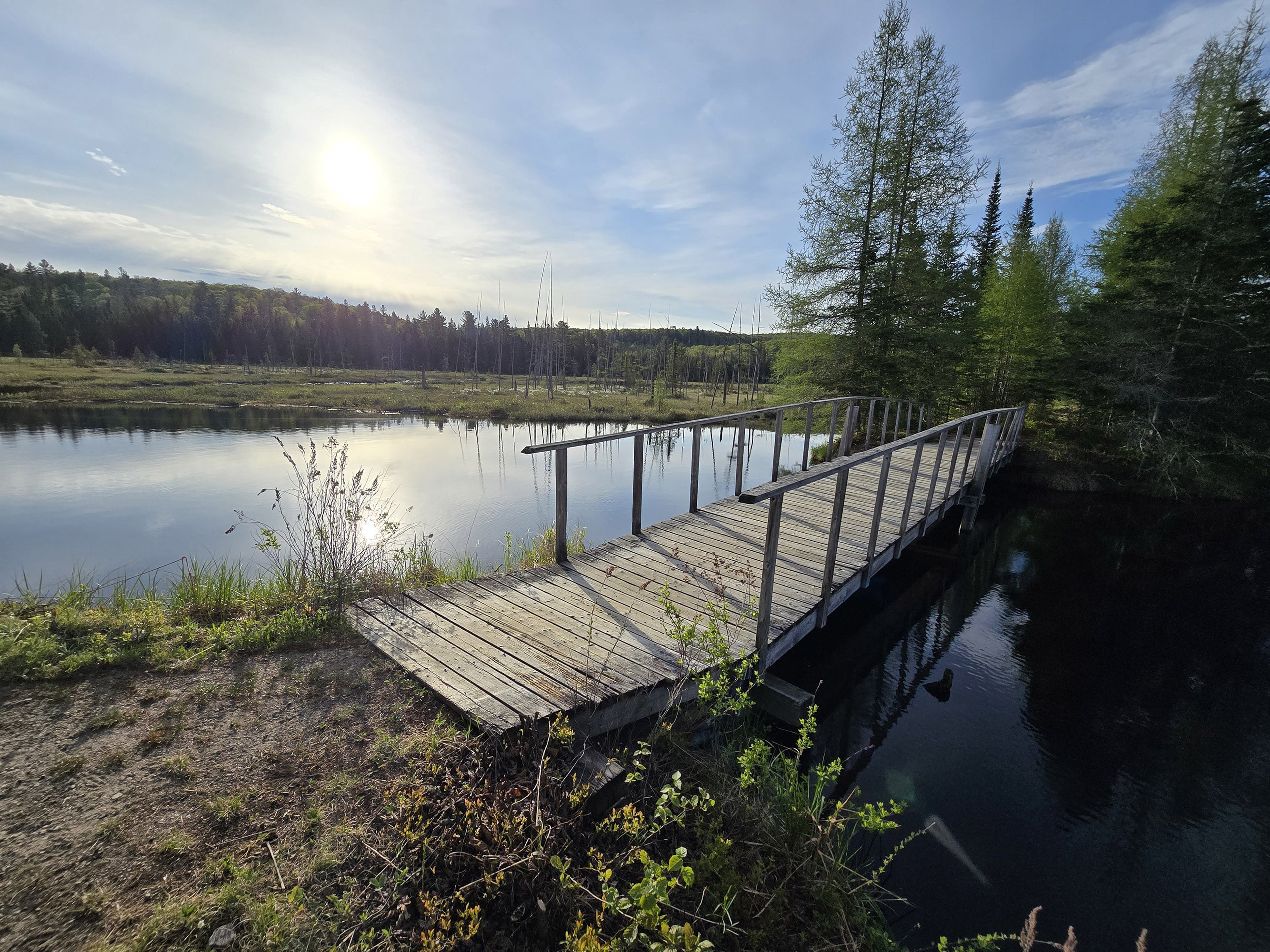
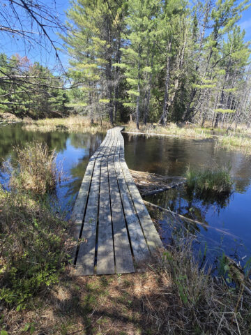
You can see pockmarks all over the boardwalk, this must be a very popular snowshoeing trail. The little pocks are from the spikes on the snowshoes, but they don't impact the structural integrity at all.
Just short of 3 km, I came upon signpost 3. This must be where it links up to an old railway, the trail is wide, smooth, flat, very easy to walk.”
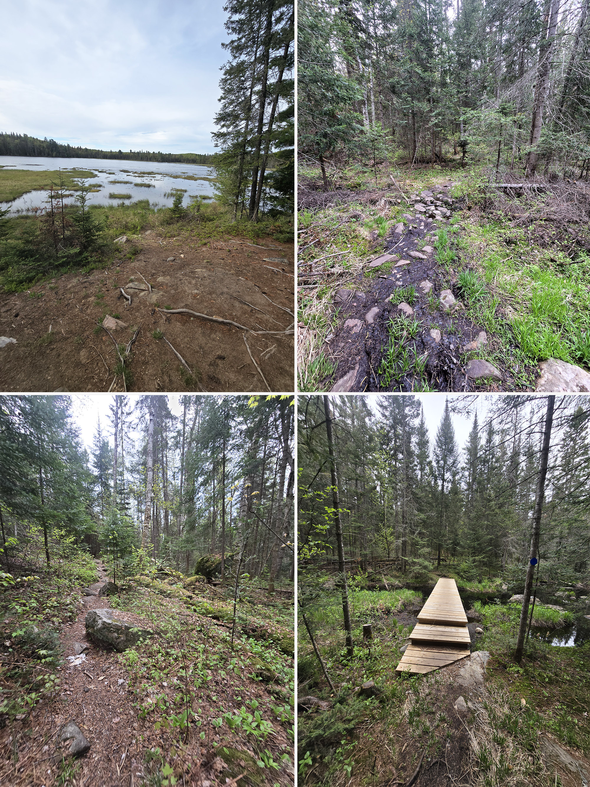
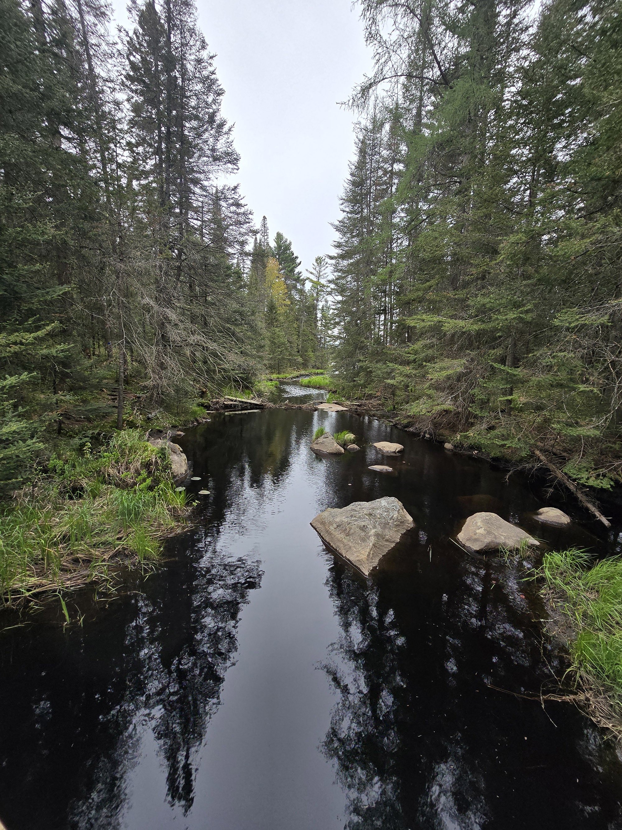
As it gets narrower, there's a teeny tiny creek - more like trickling water - to both sides which is a really cool view. You're definitely going to be single file in this area and a few of the bushes encroach into the path.
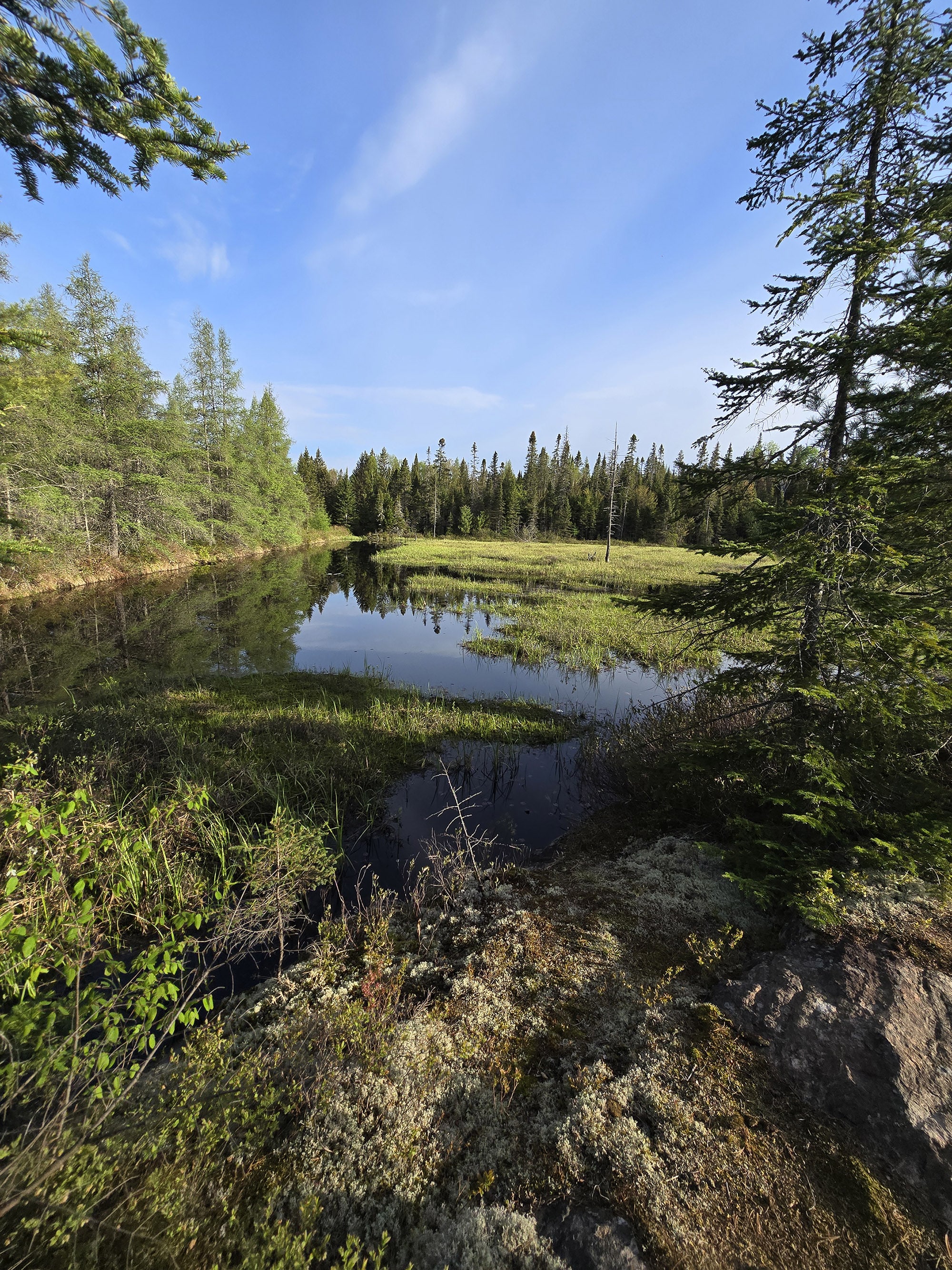
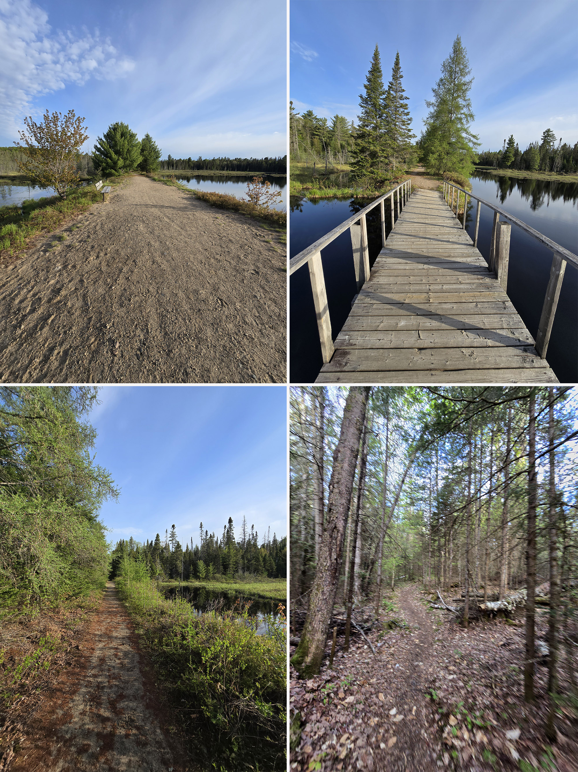
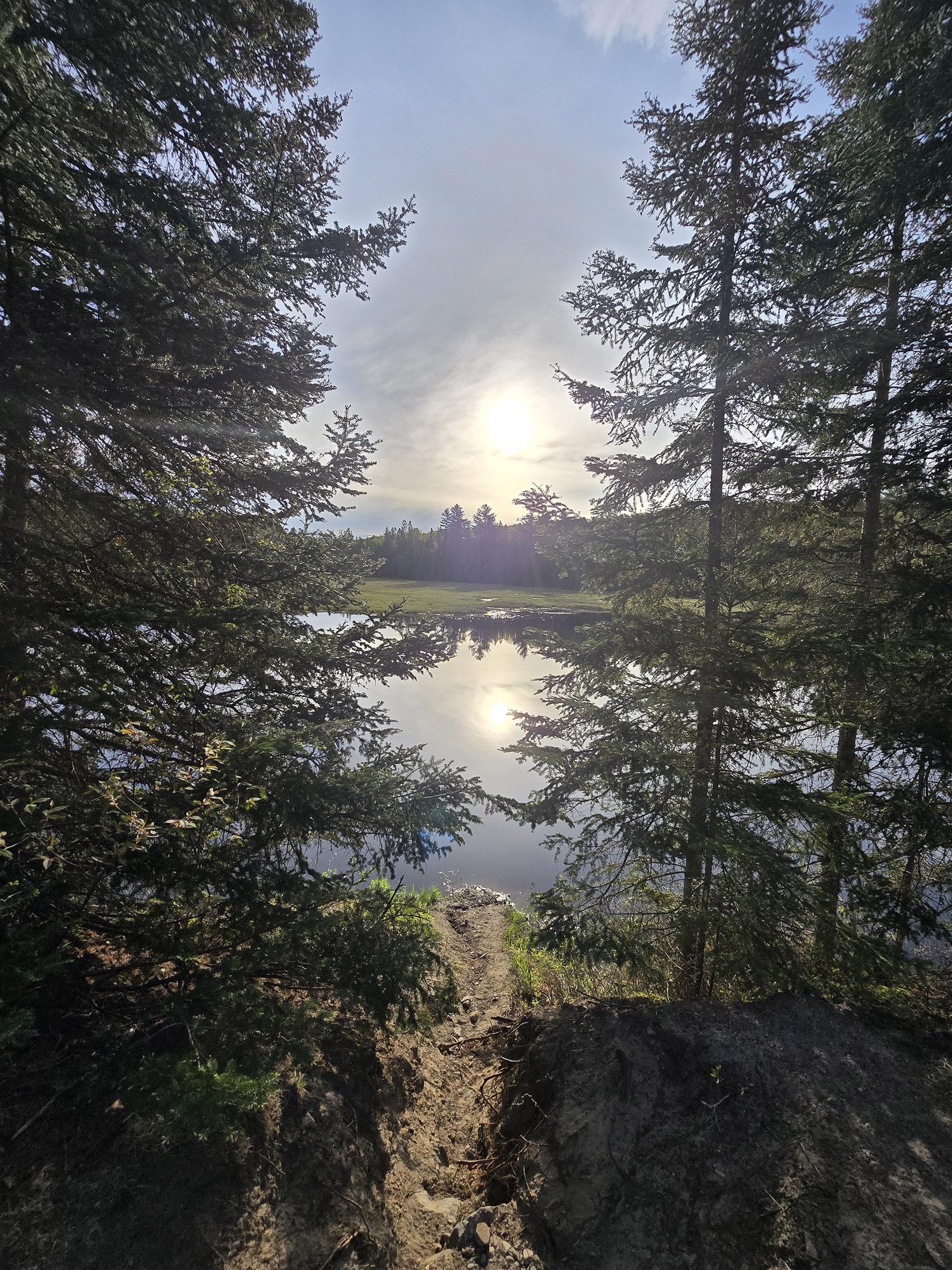
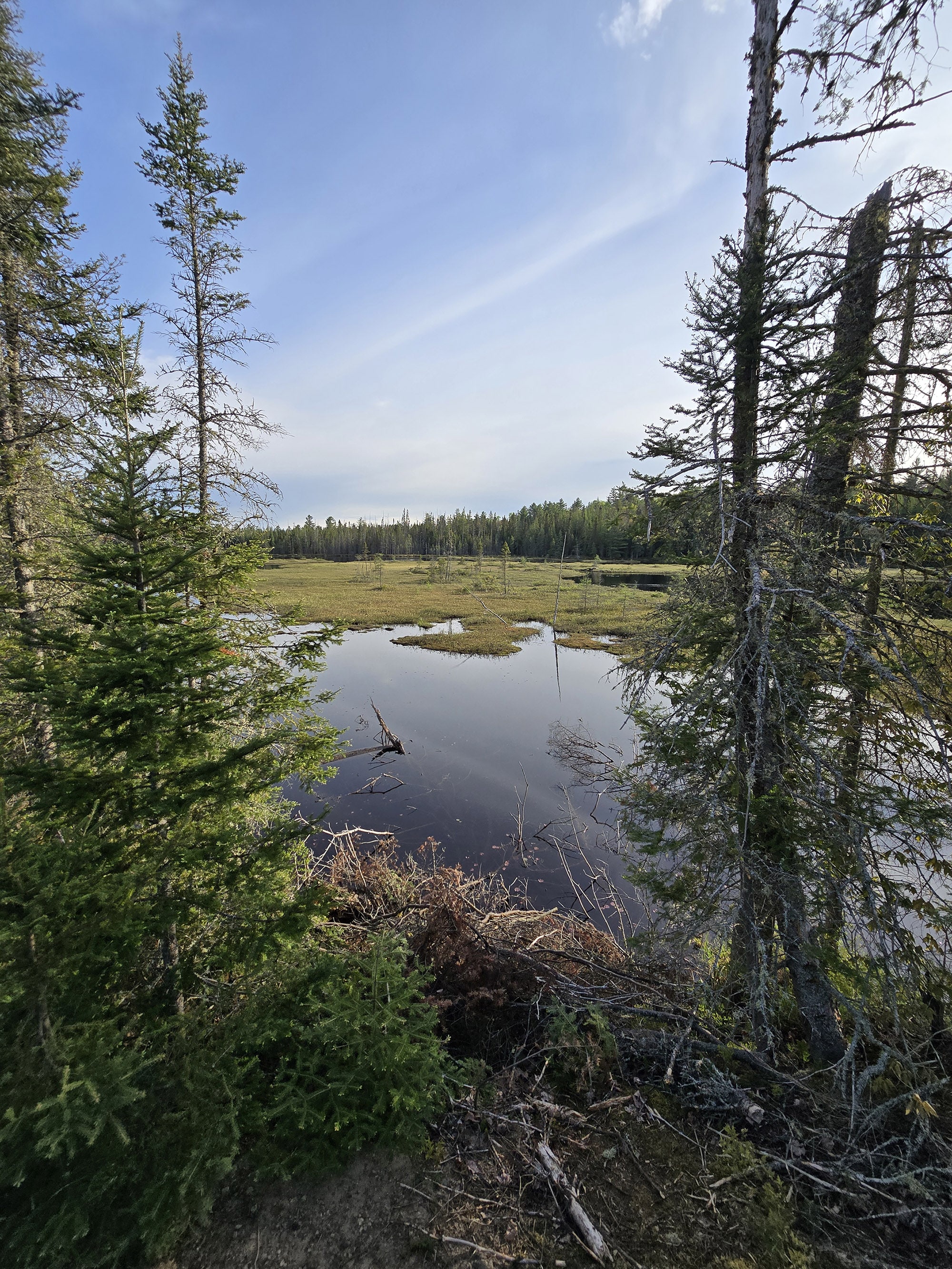
At 4.17 km, I came upon another bench, with overlooks a beautiful lake in a marsh area.
The sun was still pretty low in the sky, a bit over the tree line, and it was absolutely gorgeous. Behind that bench is also a lovely marshy area as well, you're immersed in a scene that looks like a postcard.”
I see bike tire tracks on the ground, this must link up to the old railway bike trail. I also see a canoe off the side, which seems very much out of place here. I suspect it's used for research purposes.
5.27 km, still on the rail trail and passed another bench. Another area where there is a small lake on one side, and a marshy lake on the other. 5.4 km, the trail veers into the forest, away from the rail trail. I believe the bike path still continues because it looks to be pretty maintained.”
6.7 km in, I was at signpost 8. The trail has walked along the shore quite a bit, now it veers into the woods again but there are micro streams and marshy areas all around.
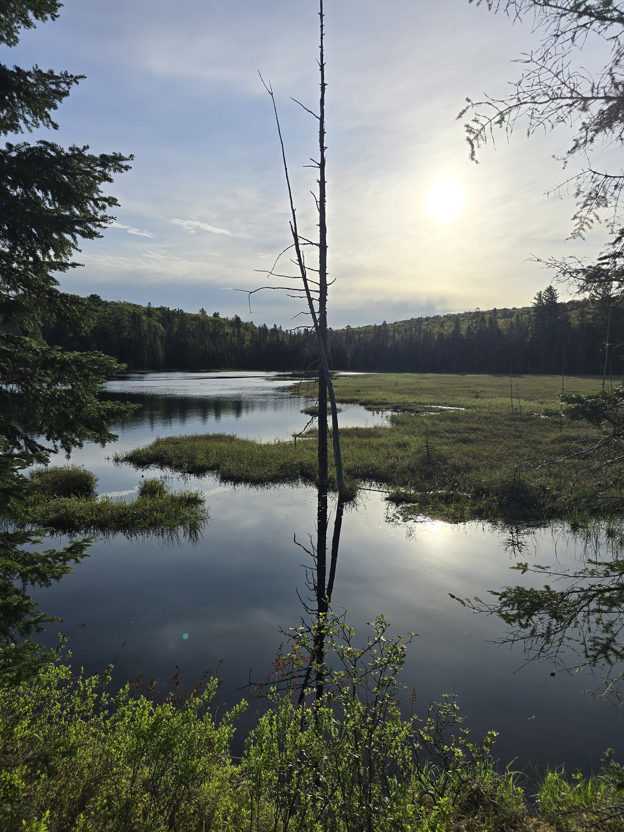
7.6 km in you're at sign post number 9, a great view over a lake with a marshy area directly in front of you.”
I was shocked, my pace has been about 15 minutes per kilometer which is a pretty fast pace given the moderate-to-difficult trail. He must have really been going fast to pass me.
Signpost 10 was at 9.27 km. At 9.5 km in, I got a warning on my phone that says my battery power is at 15% and I should charge my phone. Whoops.
9.6 km in, on a boardwalk there's a bench overlooking a marshy field of grass.”
After that boardwalk, there's a whole bunch of mucky, swampy area that you have to navigate, next to that water.
10.6 km, another bench on a long boardwalk section. At this point I had to shut off my mapping software because my phone was at 1% battery.
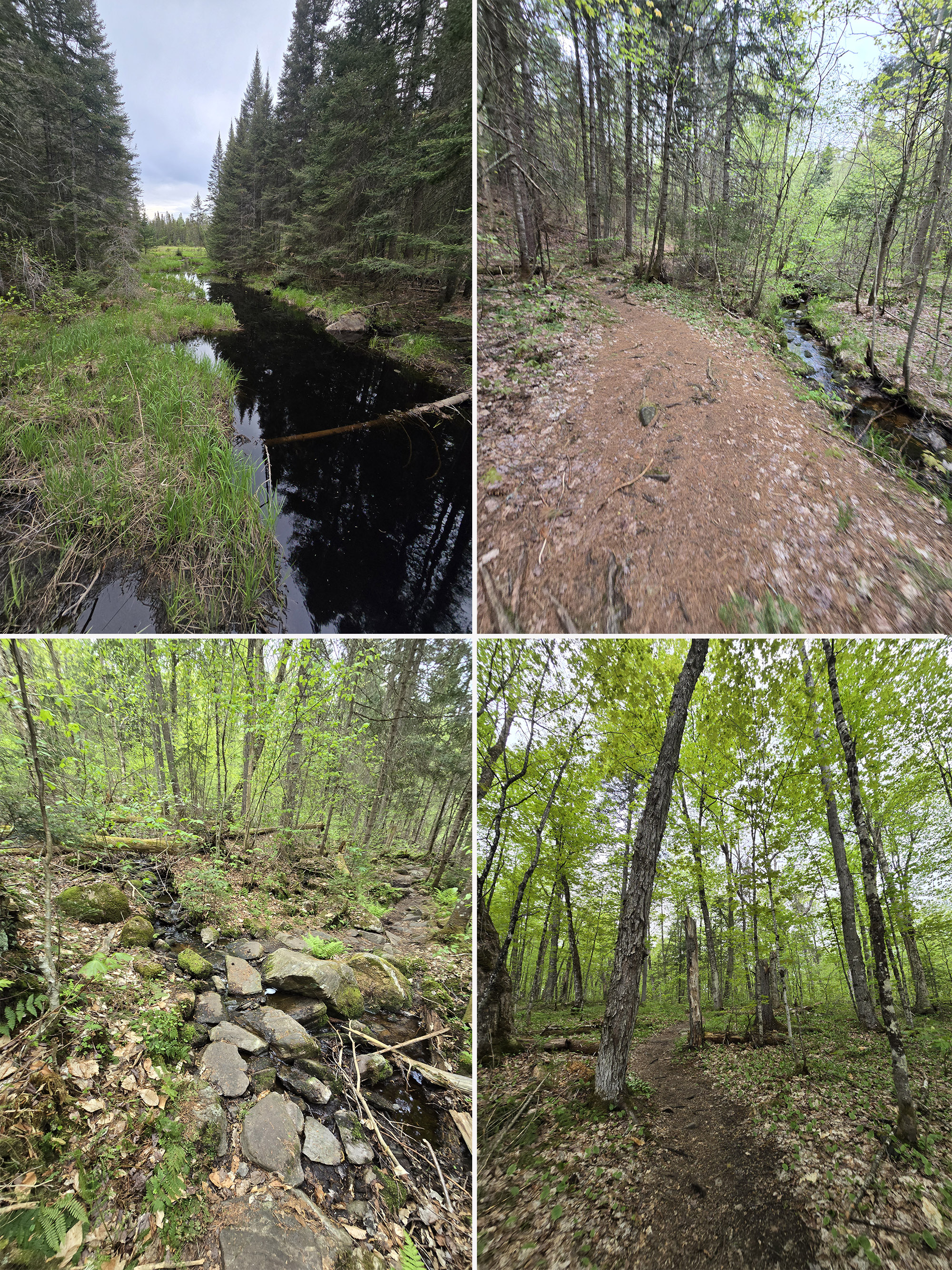
The final stretch back to the parking lot is sort of more the same, rolling hills roads, somewhat narrow winding path through the forest.
It took me about 2 hours and 45 minutes to do the trail. I estimated approximately 1 to 1 ½ km in addition to my map my run distance of 10.6 km, so approximately 12km.”
Birding, Wildlife, and Nature
Despite the trail’s reputation as being THE place for wildlife viewing in Algonquin Park, Porter did not have a ton of luck on that front!
He’d been hoping to see a Moose, Otters, or maybe a Wolf... with fingers cross for the holy grail - a Lynx.
Instead, he saw a Pileated Woodpecker, a ruffed grouse, and some kind of thrush. That's it.
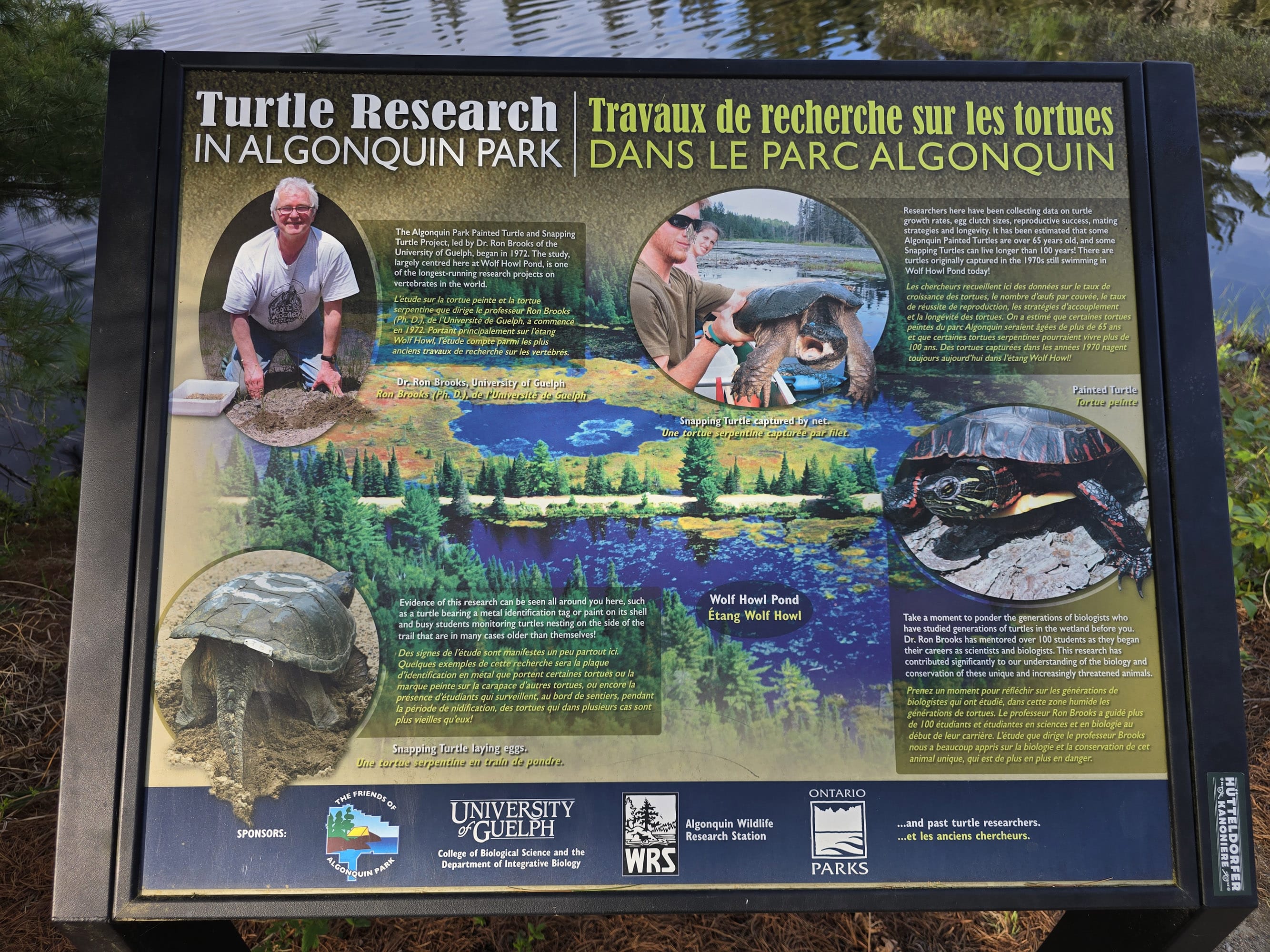
There was some information about turtle research being done alone the trail, but... he didn’t see any!
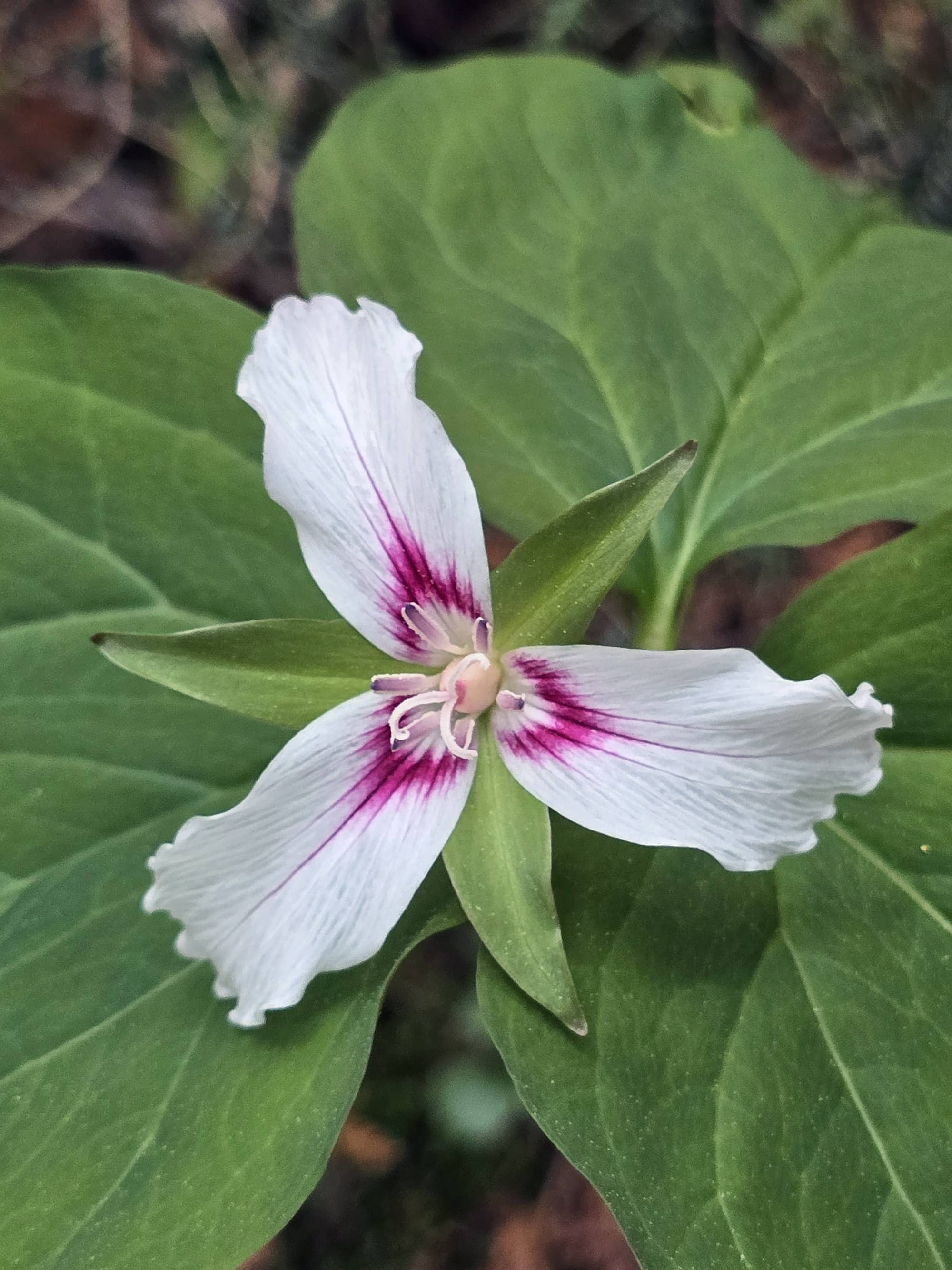
He DID see some of the white and fuchsia Trilliums, though. This stay at Algonquin is the only time and place we’ve seen this variety.
When he finished the trail, he made a note that said “So with the prints everywhere it seems like I didn't miss the wildlife by much, they are definitely out there.”
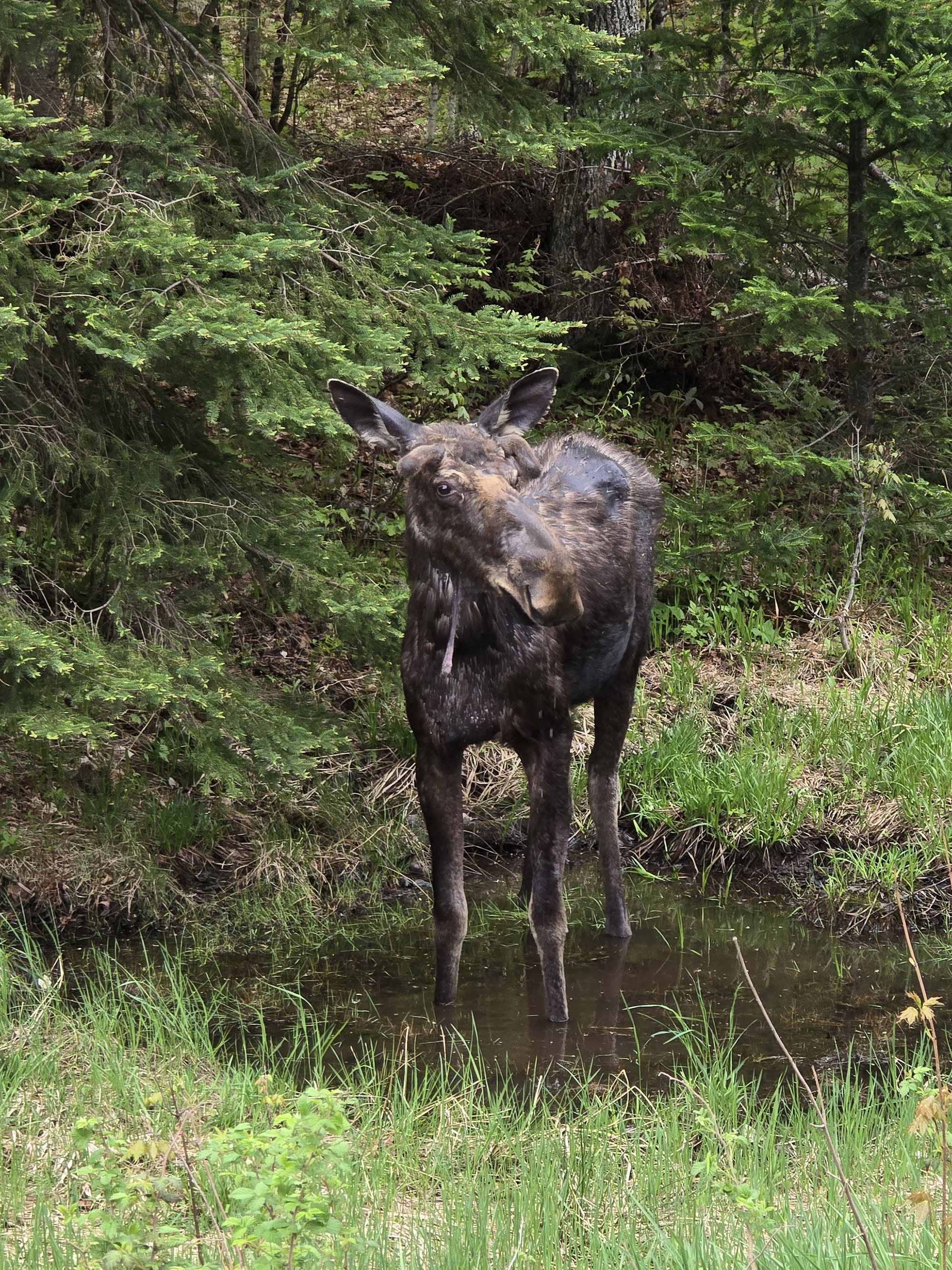
Then he got in his car, turned onto Highway 60... and almost immediately saw a moose!
Educational & Cultural Opportunities
While there are no educational signs on the Mizzy Lake Trail, you can pick up a Friends of Algonquin trail guide at the trailhead.
It’s free to use and return, or you can keep it for $0.50 - there’s a coin collection pay tube thing at the trailhead.
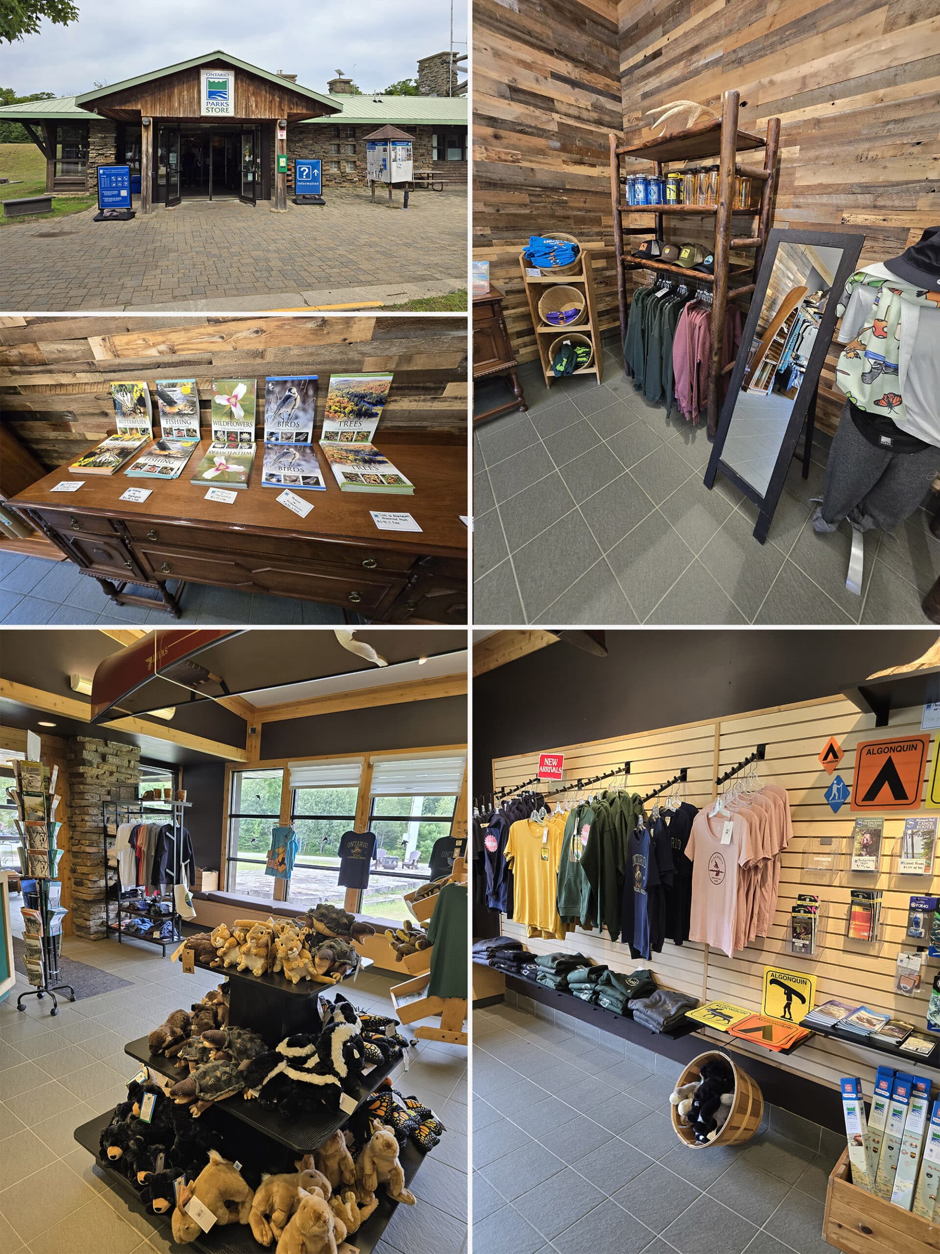
Alternately, the guides are available for purchase at the visitor centre, and at the gates.
These guides are amazing educational accompaniments to the trails in Algonquin Provincial Park, teaching about the geology, flora, and fauna you might see on your hike, as well as some of the history of the area.
There are numbered posts along the trail, with corresponding sections of information in the booklet. All around, a great resource to refer to while you’re on the trail!
The focus of this trail guide is very much on the wildlife of the area. It does describe some of the areas you see, but it’s much more about the animals you may see.
Winter Activities
Mizzy Lake Trail is listed as being a “recommended winter trail” in the Algonquin Winter Guide.
This tends to mean - at the very least - that you can expect the parking lot to be open and plowed.
In the winter, the trail is available for winter hiking and snowshoeing.
Final Thoughts
“Overall I very much enjoyed the trail, there were a lot of great water views.
Unfortunately, I struck out when it comes to animal viewing. I can understand why this WOULD be a good place for wildlife - there are plenty of great vantage points and different environments - it just wasn’t in the cards for me, that morning.
I'm not sure if I would do the Mizzy Lake Trail again, since there are so many great trails in the park. It’s definitely a big time and effort commitment to do this trail!
I just did the Track and Tower Trail the day before, and I think the views are better there.
We’ve also definitely had better luck with wildlife, in a few other spots ... and those all require far less time and effort, and are more accessible so we can do the our wildlife viewing together.”
More Algonquin Provincial Park Trail and Campground Reviews
Want to read some more of what we have to say about the campgrounds and attractions in Algonquin Park?
Check out our Algonquin Provincial Park Mega Post, or any of the links below for even more in-depth info:
Algonquin Provincial Park Campground Guides / Reviews
Achray Campground, Algonquin Provincial Park
< a href="https://2nerdsinatruck.com/brent-campground/">Brent Campground, Algonquin Provincial Park
Canisbay Lake Campground, Algonquin Provincial Park
Kearney Lake Campground, Algonquin Provincial Park
Kiosk Campground, Algonquin Provincial Park
Lake of Two Rivers Campground, Algonquin Provincial Park
Mew Lake Campground, Algonquin Provincial Park
Pog Lake Campground, Algonquin Provincial Park
Raccoon Lake Campground, Algonquin Provincial Park
Rock Lake Campground, Algonquin Provincial Park
Tea Lake Campground, Algonquin Provincial Park
Whitefish Lake Campground, Algonquin Provincial Park
Algonquin Provincial Park Trail Guides / Reviews
Barron Canyon Trail, Algonquin Provincial Park
High Falls on York, Algonquin Provincial Park
Provoking Falls, Algonquin Provincial Park
Interested in exploring campgrounds beyond Algonquin Park? We've got a huge - and ever-growing! - list of them here: 2 Nerds in a Truck Campground Reviews.
We also have posts on Ontario Waterfalls, other Places to See, and a ton of Camping Recipes to cook up, while on your adventures!
Thanks for Reading!If you loved this post - or have any questions about it - please leave a comment below! We'd also love it if you would consider sharing the link on social media! |
Leave a Reply