

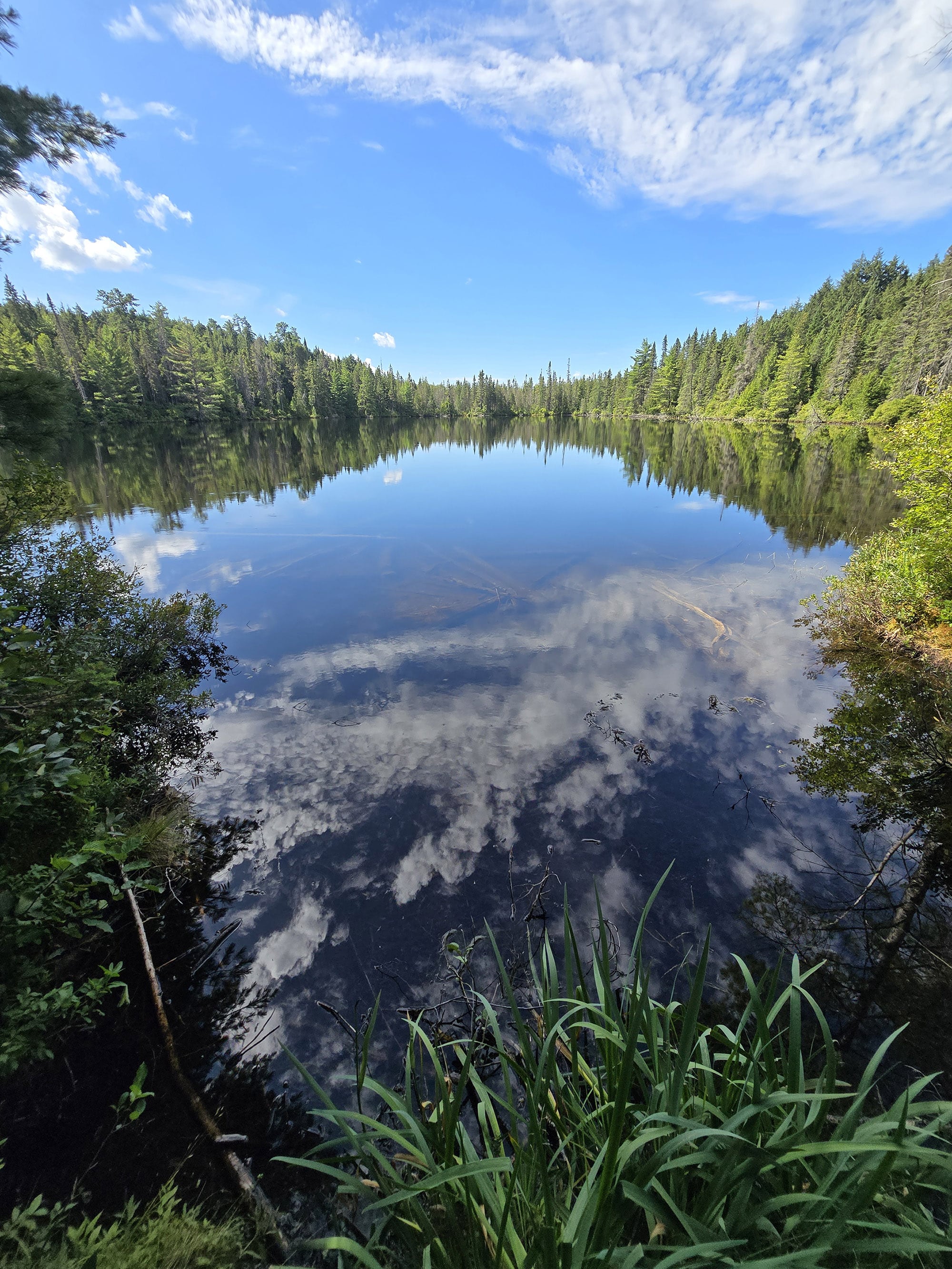
Booth's Rock Trail is one of the most popular trails in Algonquin Provincial Park, for good reason. Here's everything you need to know about hiking it!

This is despite the fact that it’s not as convenient to get to, as the other hiking trails along the Highway 60 Corridor. Rather than having a parking lot right off the highway, you have to drive 9 km down a gravel road to get there!
Everything we’ve heard about trying to hike Booth’s Rock Trail in the fall sounds like madness - needing a special day use pass for that particular parking lot, it being WILDLY busy, etc.
Up til 2026 though, we hadn’t ventured down to the Rock Lake Campground to do the trail - just to check out the campground itself.
So, in August 2026, Porter made the trek down there during our stay at Mew Lake Campground.
Here, we’ll - well, mostly HE’LL - tell you all about it!
The Basics:
Name: Booth’s Rock Trail
Algonquin Park Section: Highway 60 Corridor
Kilometre Marker: km 40.3
Season: Year-round ... Sort of.
Trail Length: 5.1 km
Difficulty: Difficult
Suggested Completion Time: 3 hours
Logistics
Some basic information to help you plan your hike on the Booth’s Rock Trail in Algonquin Provincial Park:
Registration and Check In
All hiking trails in Algonquin Provincial Park require a valid permit to be within the park in the first place. There are a few different ways you can do this, depending on how you’re visiting the trail.
As a note, the information below is all general info, for all the trails in Algonquin. It GENERALLY applies to Booth’s Rock as well - just not ALL the time.
Depending on when you visit in the fall, you may need an area-specific reservation and parking pass. When in doubt, check with one of the gatehouses.
1. If you’re currently camping in Algonquin
If you have a current, valid camping permit for a campground in Algonquin Provincial Park - you just show up to the trail. Your license plate number is already registered with the park, and you’re good to go.
2. If you’re currently camping in a DIFFERENT Provincial Park
If you’re driving in for a day trip from somewhere like nearby Arrowhead Provincial Park, Bonnechere Provincial Park, Lake St Peter Provincial Park, or Silent Lake Provincial Park - you can take advantage of the reciprocal program.
With a few exceptions, a current and valid camping permit from one Ontario Provincial Park will act as a daily vehicle permit at another.
You just need to show up at one of the gates on the way in (East Gate and West Gate are the ones on either end of Highway 60), and show proof of that permit - a paper permit if your campground has it, or your email confirmation.
They will register your license plate number and you’re free to go - no additional fees required!
3. If you have an annual Ontario Parks Pass
Generally speaking, all you have to do is show up at one of the gates, present your pass, and have your license plate noted.
Note: Sometimes - regardless of the trail - you’ll need to reserve a daily vehicle permit ahead of time. This is usually during peak fall colours season, when certain areas of the park reach capacity.
4. If you don’t have any sort of camping permit or Parks Pass in place
You can book your Daily Vehicle Permit online at Ontario Parks Reservations - up to 5 days in advance of your visit.
If you’re planning your visit for October... you might want to be ready to do so right when that 5 day window opens up, to ensure availability!
Otherwise, you can pay for a DVP at any one of the Algonquin Provincial Park gates.
Note: Some of the trailheads have QR codes for booking your DVP, but with such spotty internet throughout the park ... I really recommend doing it ahead of time.
Parking
As previously mentioned, the trailhead and parking lot for the Booth’s Rock Trail is located at the end of the gravel road that goes down to Raccoon Lake Campground and Rock Lake Campground.
You’ll drive into the main Rock Lake Campground entrance, over the bridge, then keep to the left as you pass the furthest campground.
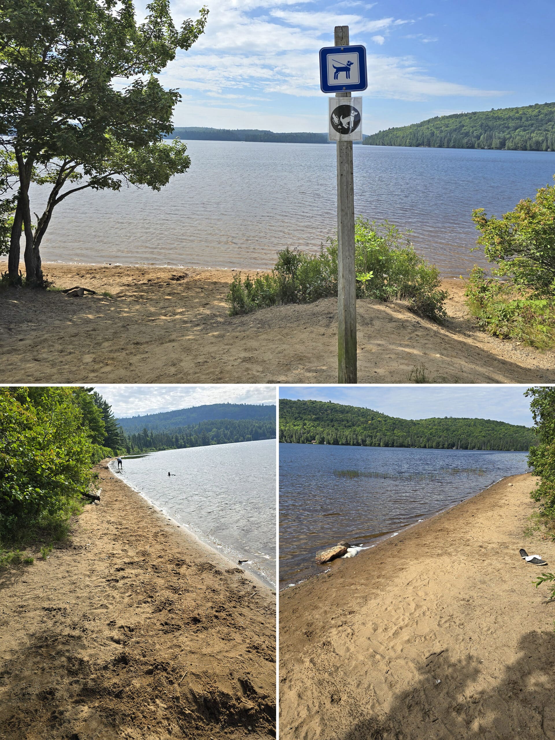
You’ll quickly come to the parking lot, which is shared with the dog beach.
The lot is pretty big, I noted seventeen cars in the lot when I was done with my hike, and there was definitely room for another half dozen cars.

Washrooms
There are no washrooms available at the trailhead or on the trail.
There's an outhouse a couple hundred meters back on the road - it opens onto the campground on the other side of it. There's no parking there so you'd need to walk from the parking lot.
Nearby Rock Lake Campground has a comfort station with parking available.

Maps and Signage
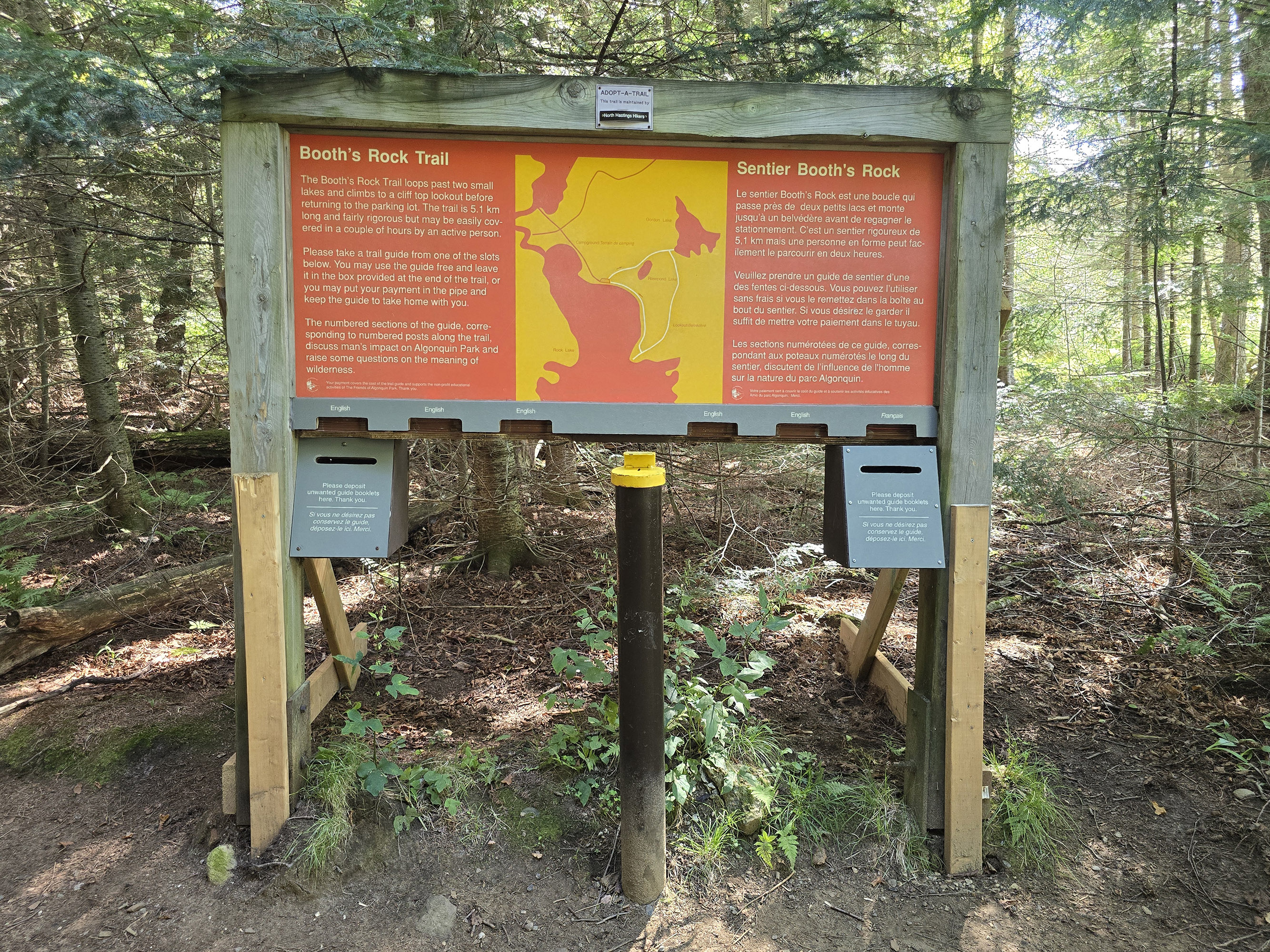
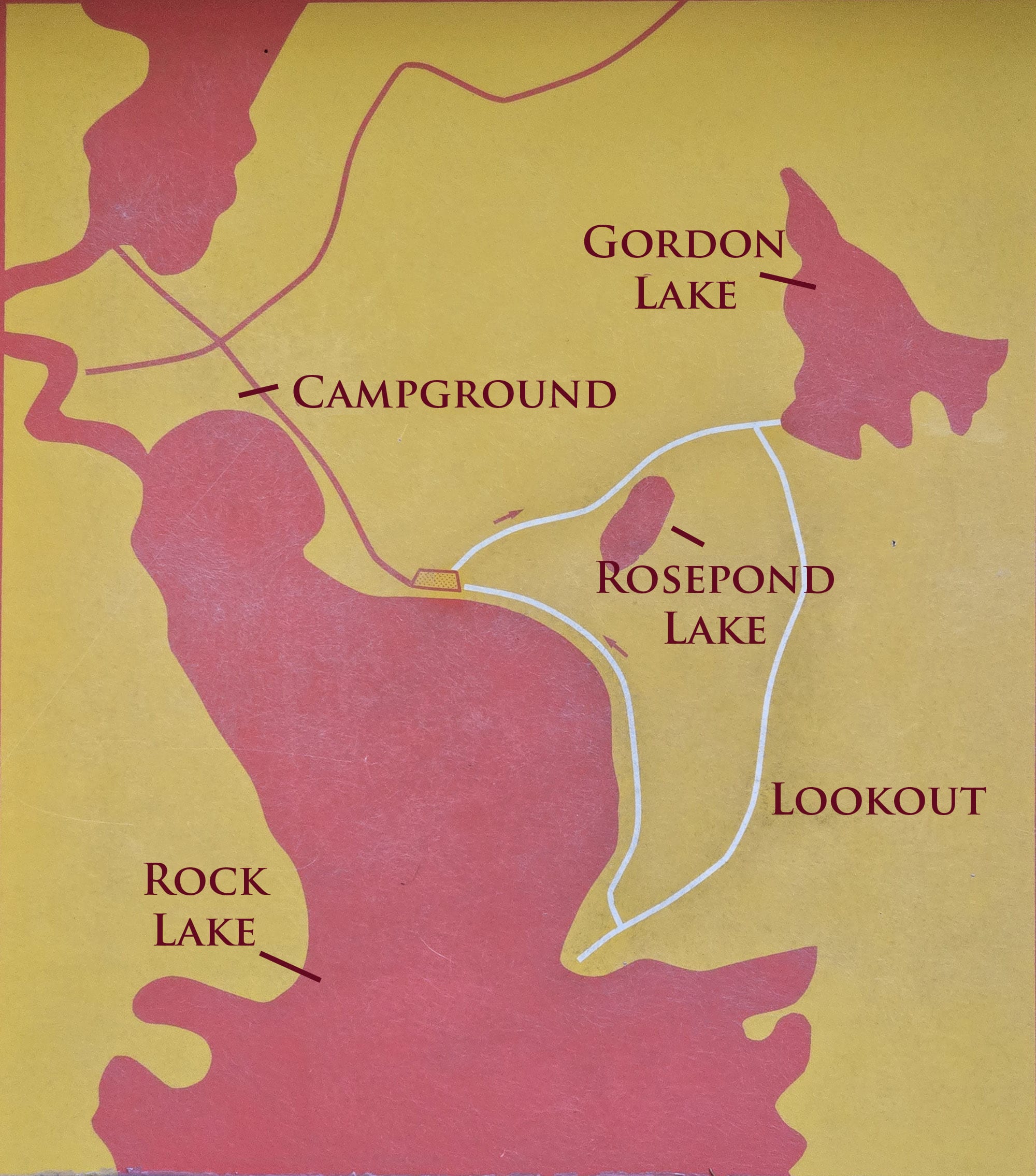
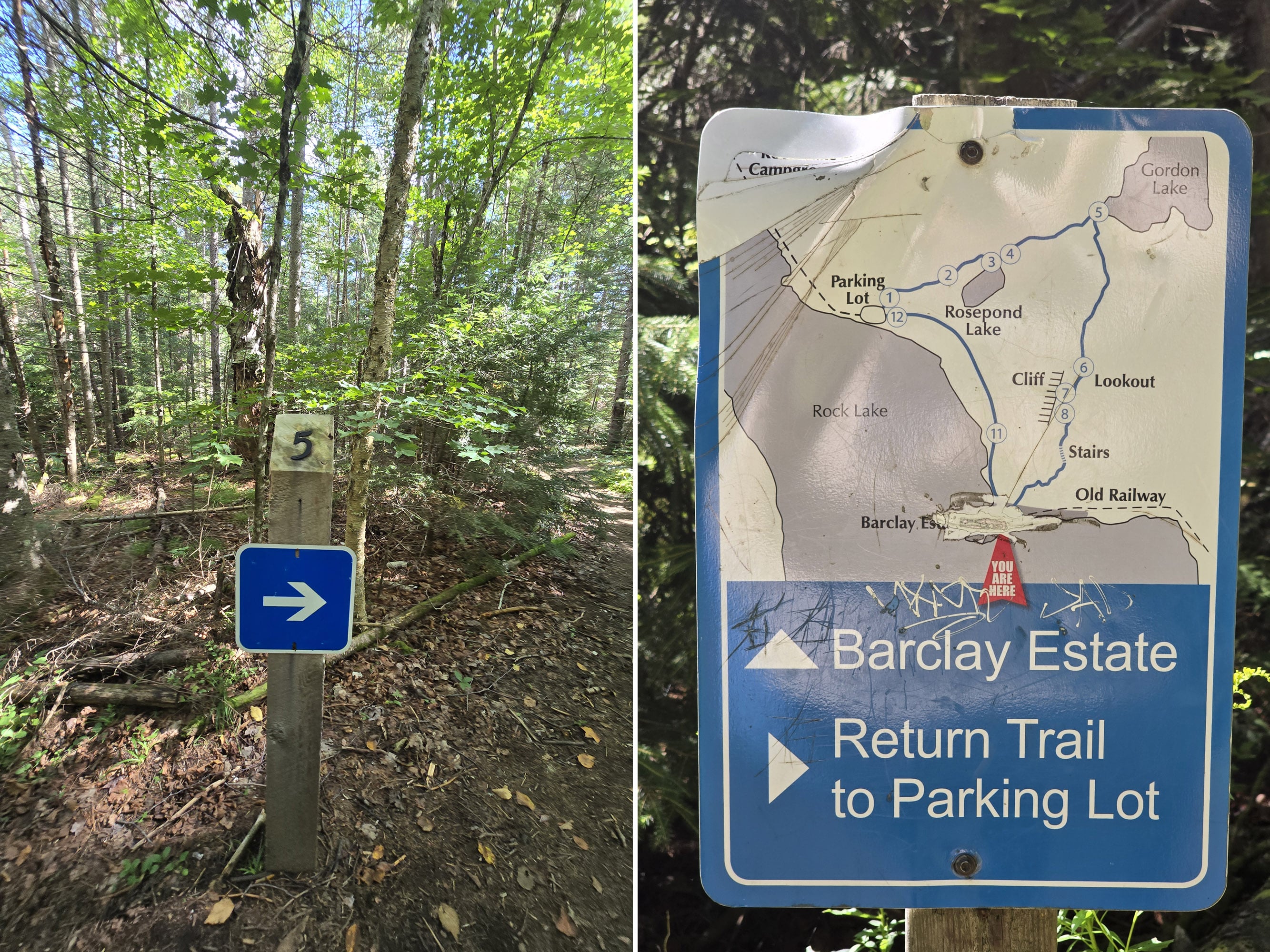
There is a rough map at the trailhead, more of a general overview of the layout, than anything. There are no distances marked, etc.
For a MUCH better map, grab one of the trail guides. It has a much more detailed map, with segmented distances, points of interest marked, and even a graph showing the elevation changes.
The trail is well blazed with Algonquin's blue blazes for forward travel and white blazes to let you know you're going backwards.
There are also clear arrows where needed to point you in the correct direction. At the point where the a side trail to the Barclay Estate, there’s signage with a map - that map is actually better than the one at the trailhead.
All that said, the path is well-travelled and easy to follow, so you're not going to get lost.
Accessibility
This trail is rated difficult, though I’d call it more “moderate-to-difficult” - either way, it’s not really a great option for those with mobility issues.
There's a lot of steep inclines involved, and rough footing due to roots across the trail in many places. Those that need a hiking stick for stability can navigate this trail, but those with other mobility aids will find it difficult / impossible.
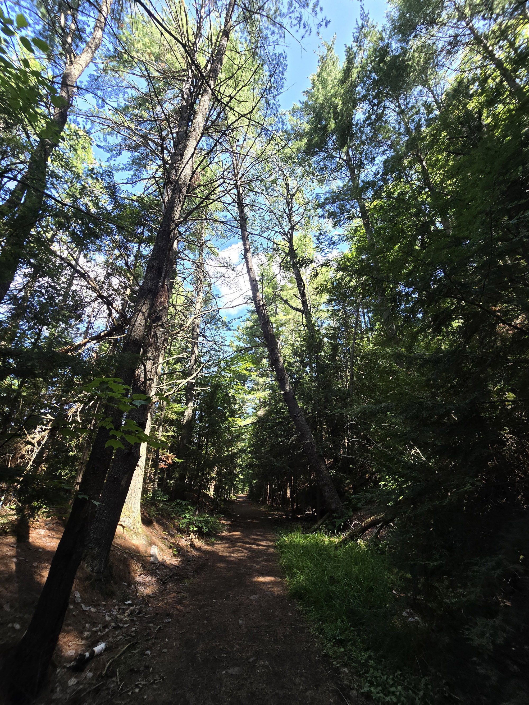
The last 1.6km is easy - wide, flat, no obstructions like roots in the trail - it's an old rail trail.
You can hike the trail backwards on this section only, if desired, for a shorter, easier walk.
I wouldn’t call it wheelchair accessible though, as some sections have the large, chunky base rock you see on railway beds.
Pets
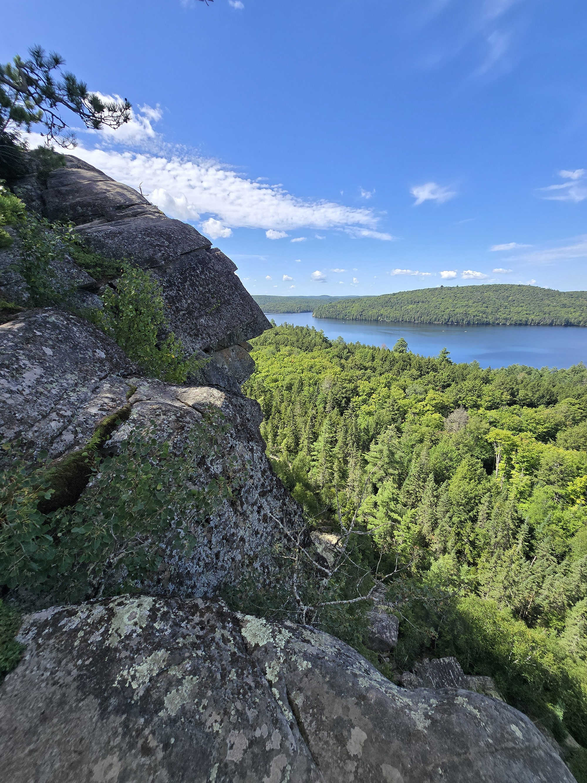
Dogs are allowed on the Booth’s Rock Trail, just be aware that the trail visits a cliff edge - with no barrier - so you’ll definitely want to have your dog on a short leash and under control.
Also of note: The trail shares a parking lot with the Rock Lake Campground dog beach, so that could be a nice way to cool off after your hike!
Beyond that, all the standard Ontario Provincial Parks rules apply.
Dogs must be leashed at all times, and aren’t allowed to harass other hikers, wildlife, or plants.
They can’t be left unsupervised, and aren’t allowed to make excessive noise.
Owners must pick up after their dogs, and properly dispose of the droppings.
On that note, there are no poop baggie dispensers on site, and no garbage can at the trail head. Plan ahead!
Day Use Area
There aren't any picnic benches on the trail.
For a day use area you could use the dog beach at the same parking lot, or the day use area of Rock Point Campground.

Connectivity
Cell phone coverage varies wildly in Algonquin Provincial Park, far more so than anywhere else we’ve been.
A spot may have fantastic coverage one day, then none the next. You may have fantastic coverage at one point on a trail, then none just ten metres later.
As an example, we’ve long known the Rock Lake Campground - and most of the area down that gravel road - to have absolute no cell reception at all.
As it turns out - on Rogers Wireless - I had GOOD connectivity for a good part of the trail.
There was none at the base - as expected - but once I’d gotten partway up to the elevated section of the trail, I had cell reception.
I had good reception for the remainder of the top of the trail, only losing it once I got down to the rail trail section.
All that said, which carrier you’re with, how busy the area is, elevation, and the weather all seem to play a part.
We can’t reliably tell you what the cell coverage will be like on this trail, as a result. Our best advice is to assume there will be no cellular coverage, and plan accordingly.
Note: We can say that the most reliable place we’ve found for cell coverage in Algonquin PP has been the Visitor Center Parking lot. Also, there is wifi available inside the Visitor Centre itself.
Miscellaneous
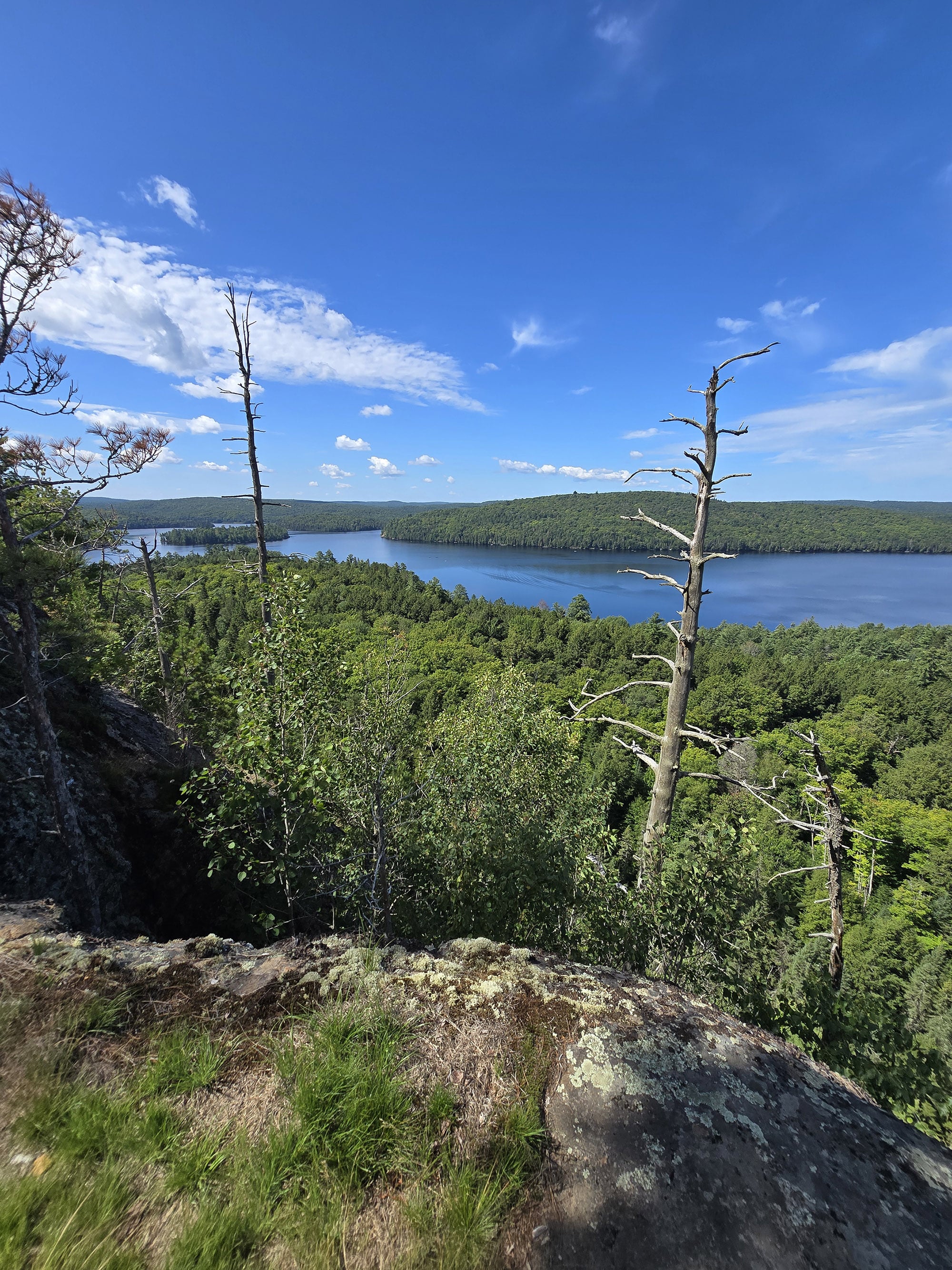
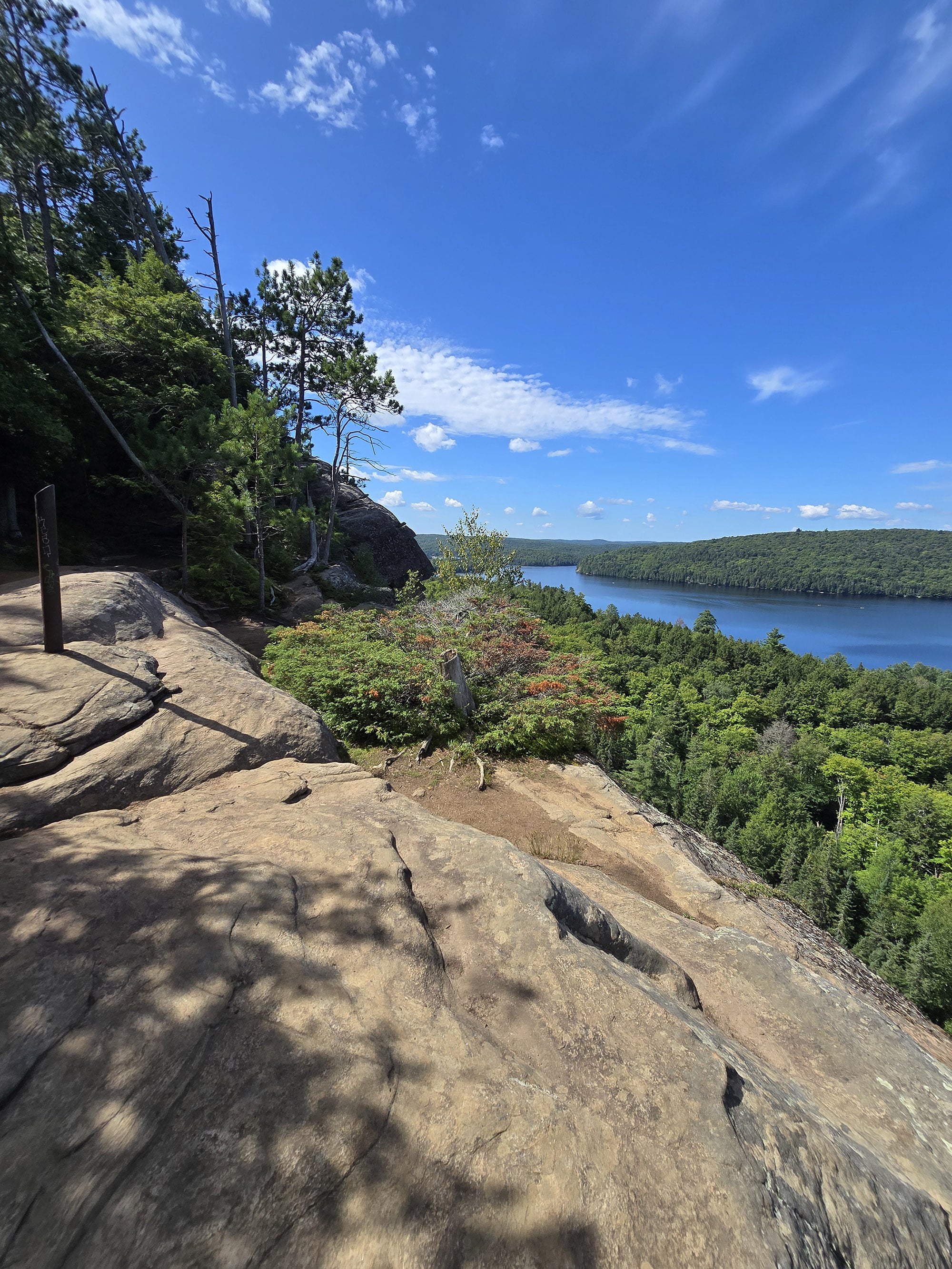
1. This trail visits a high cliff, with no barrier. If you have small children or dog(s) with you, be sure to have them close at hand and under your control at all times!
2. Shortly after the Barclay Estate Side Trail, there's a small beach just a few meters off the main trail. Someone was swimming as I went by, it looked like a great place for a swim!
If you’re heading in directly to the beach, you can take the trail backwards and it’ll be just under 1 km from the parking lot.

Share the Love!If you’ve made one of our recipes, be sure to take some pics of your handiwork! If you post it to Bluesky, be sure to tag us - @2NerdsInATruck, or you can tag us on TikTok, if you’re posting video. We're also on Pinterest, so you can save all your favourite recipes and park reviews to your own boards! Also, be sure to subscribe to our free email newsletter, so you never miss out on any of our nonsense. Well, the published nonsense, anyway! |
Activities
Some information on the various things you can do, while hiking the Booth’s Rock Trail at Algonquin Provincial Park:
Hiking
Porter hiked the Booth’s Rock Trail alone, in August 2026, here are his trail notes.
As a note, the photo sets are all done chronologically, but don’t necessarily line up with Porter’s commentary, below. WAY too much effort to try and fit the photos to the text!

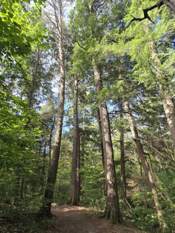
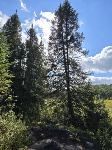
You're walking through a thick, mature forest with small bushes on the forest floor and tall trees all around. There are many types of trees here, many are evergreen.
At 1.38km you come to a T in the trail, and a sign clearly indicates you should go to the right.

By 1.9km you're walking through a pine forest. Pine needles blanket the ground, which still has roots along the pathway.
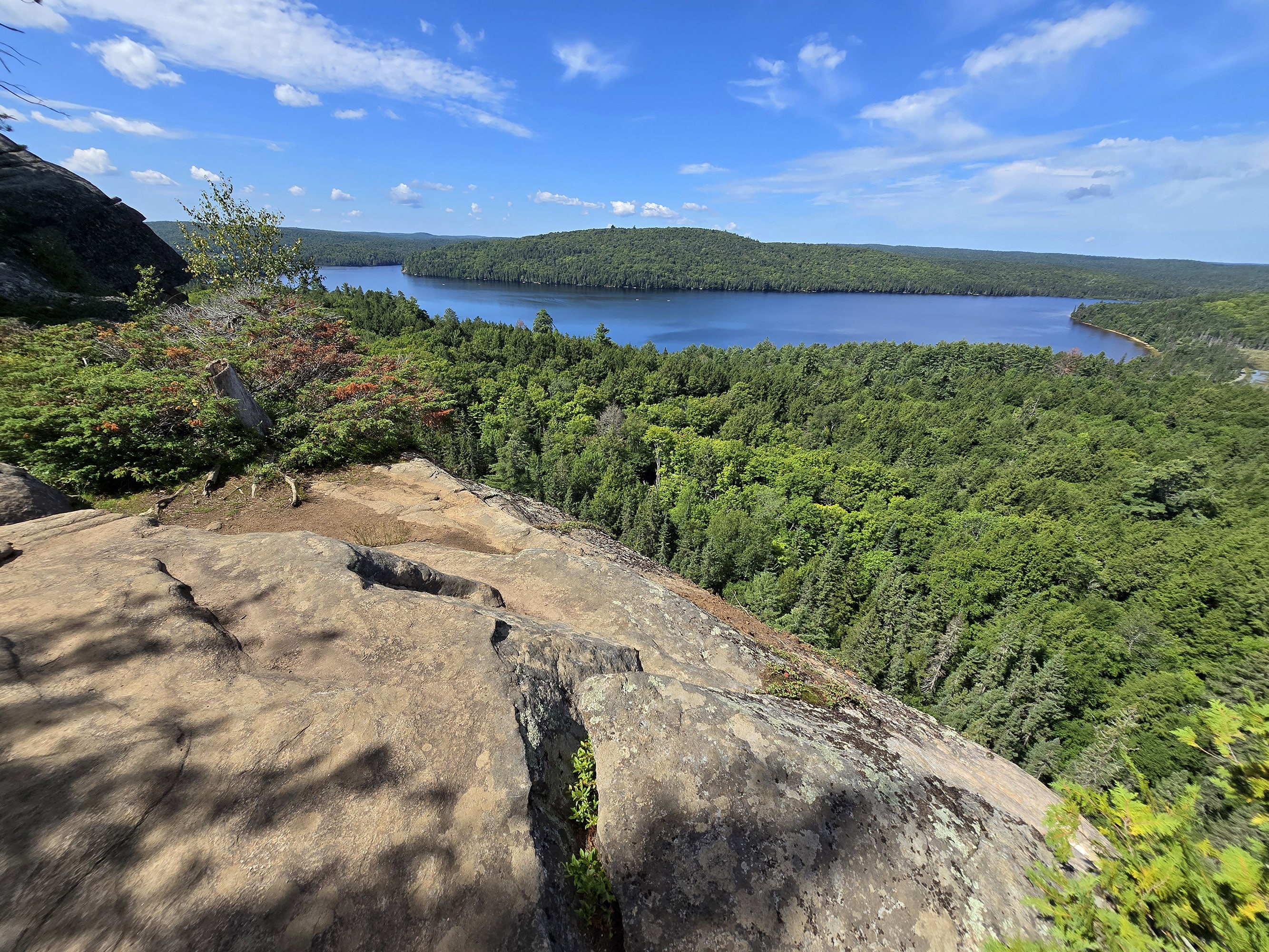
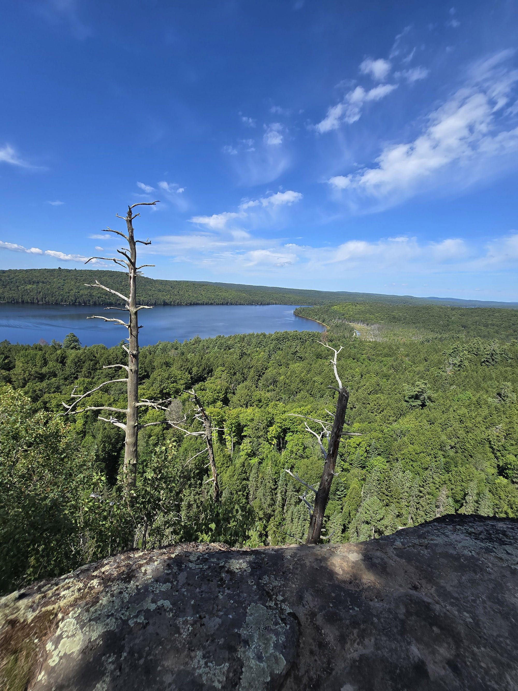
At 2.37 km, you arrive at a lovely overlook with a great view. The trail follows close to the cliff edge, still climbing.

You see can a short section of trail way off in the distance, next to a marshy area. You'll end up on that section of trail later!
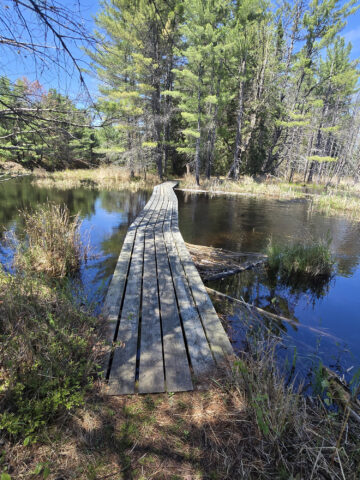
The trail follows along the cliff's edge through signpost 8, then shortly after that goes into the forest. There are multiple sets of wooden stairs and short boardwalk sections to help cross areas that need it.

It's not always obvious where the trail is, but you're really not going to get lost either because it's obvious the general direction it travels.

I didn't count, but I'm guessing there are a hundred or more steps. There aren't any benches, but there are many short landings where you could take a short break if needed.
After the staircase the trail is a bit narrower, and at 3.5km you arrive at another Tee. To the left is the Barclay Estate, and the trail continues to the right.

There isn't much to see of the actual estate. I found a concrete foundation for a small building, and continued a bit further to the water.
At the water there was an old degraded concrete boat dock with some wooden beams in the water.

There's a bench overlooking the water at 4.8km (remember that I added 0.7km for the Barclay Estate side trip). Soon after that is the beach I mentioned earlier.
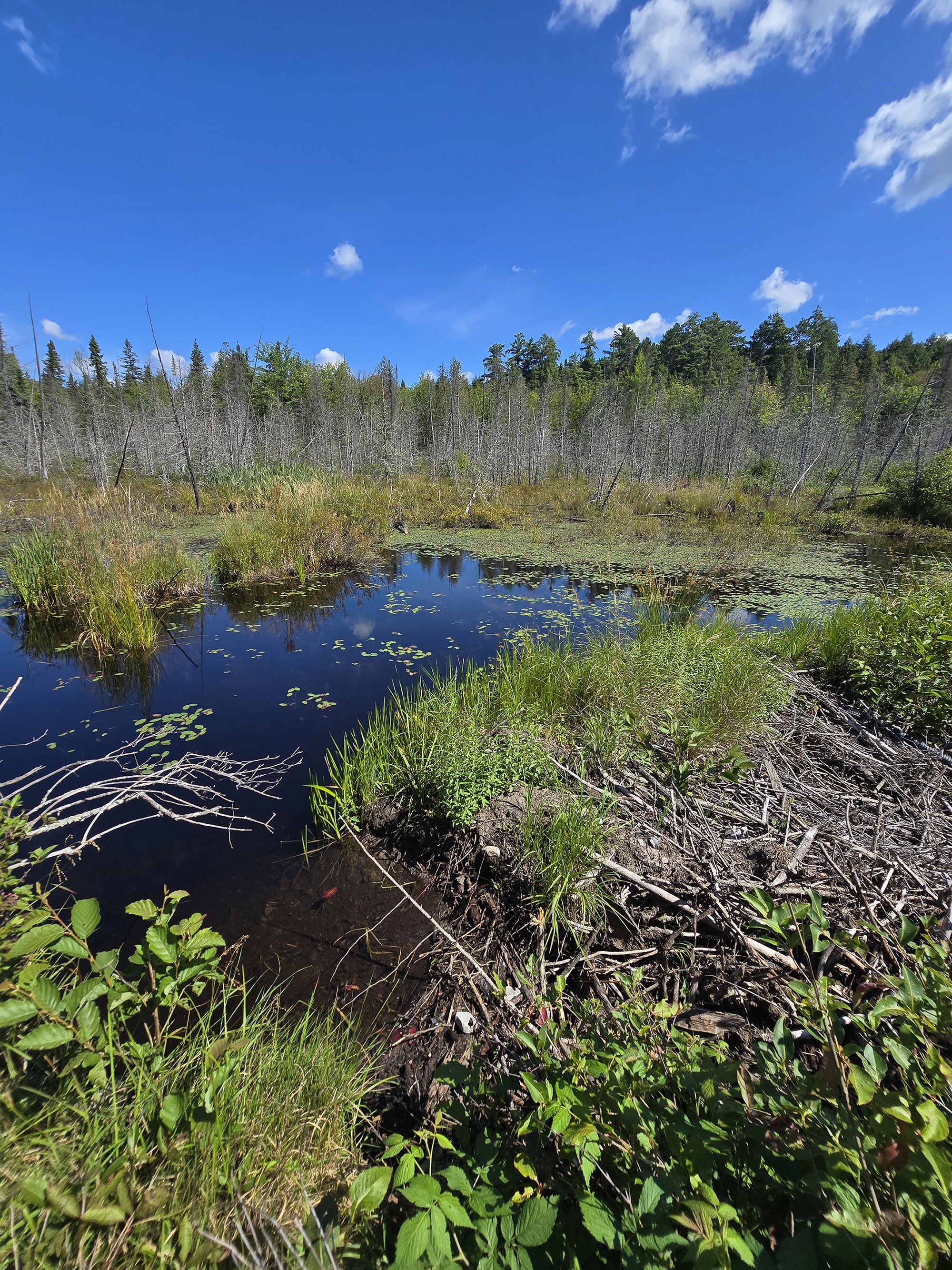
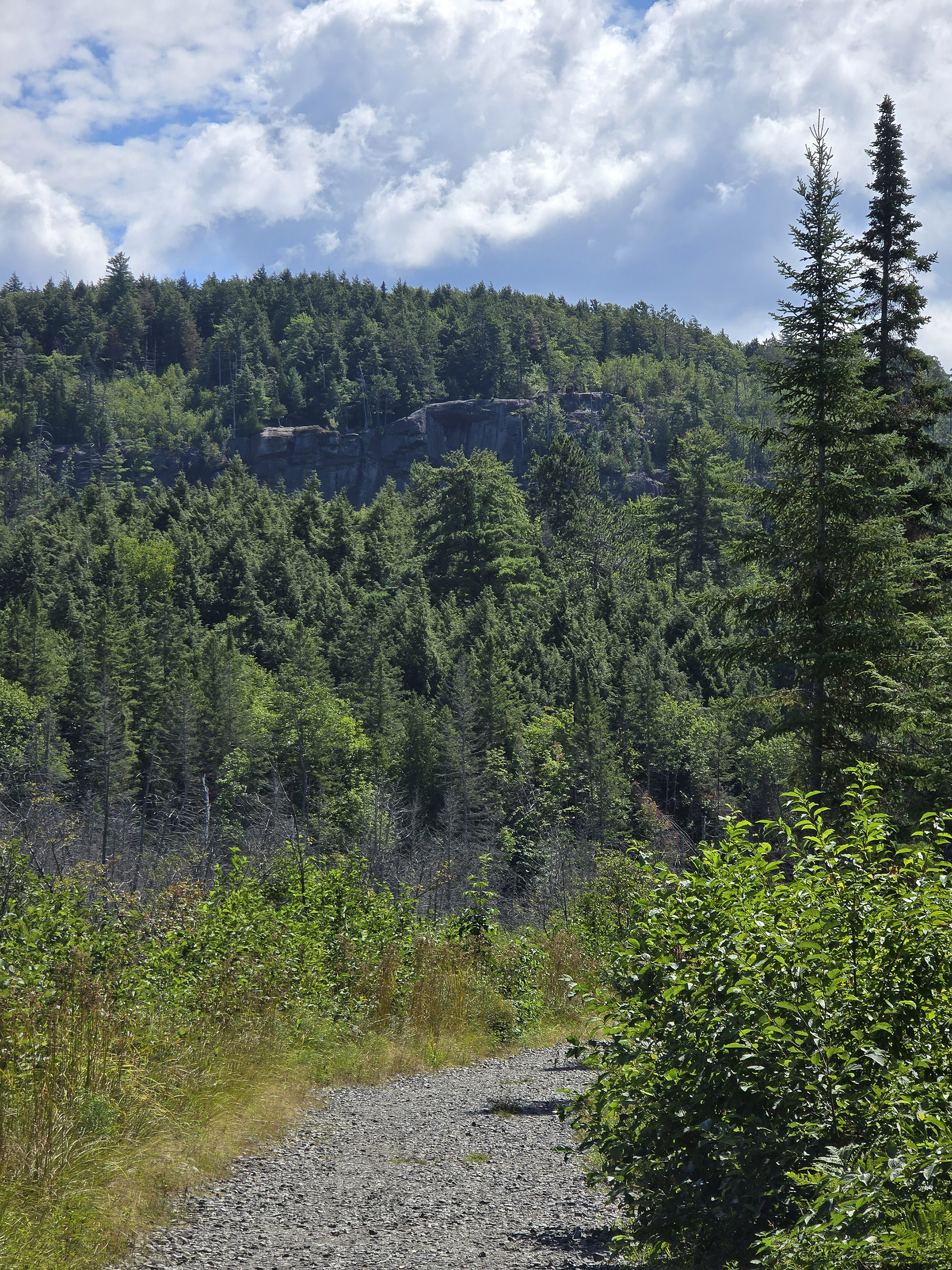
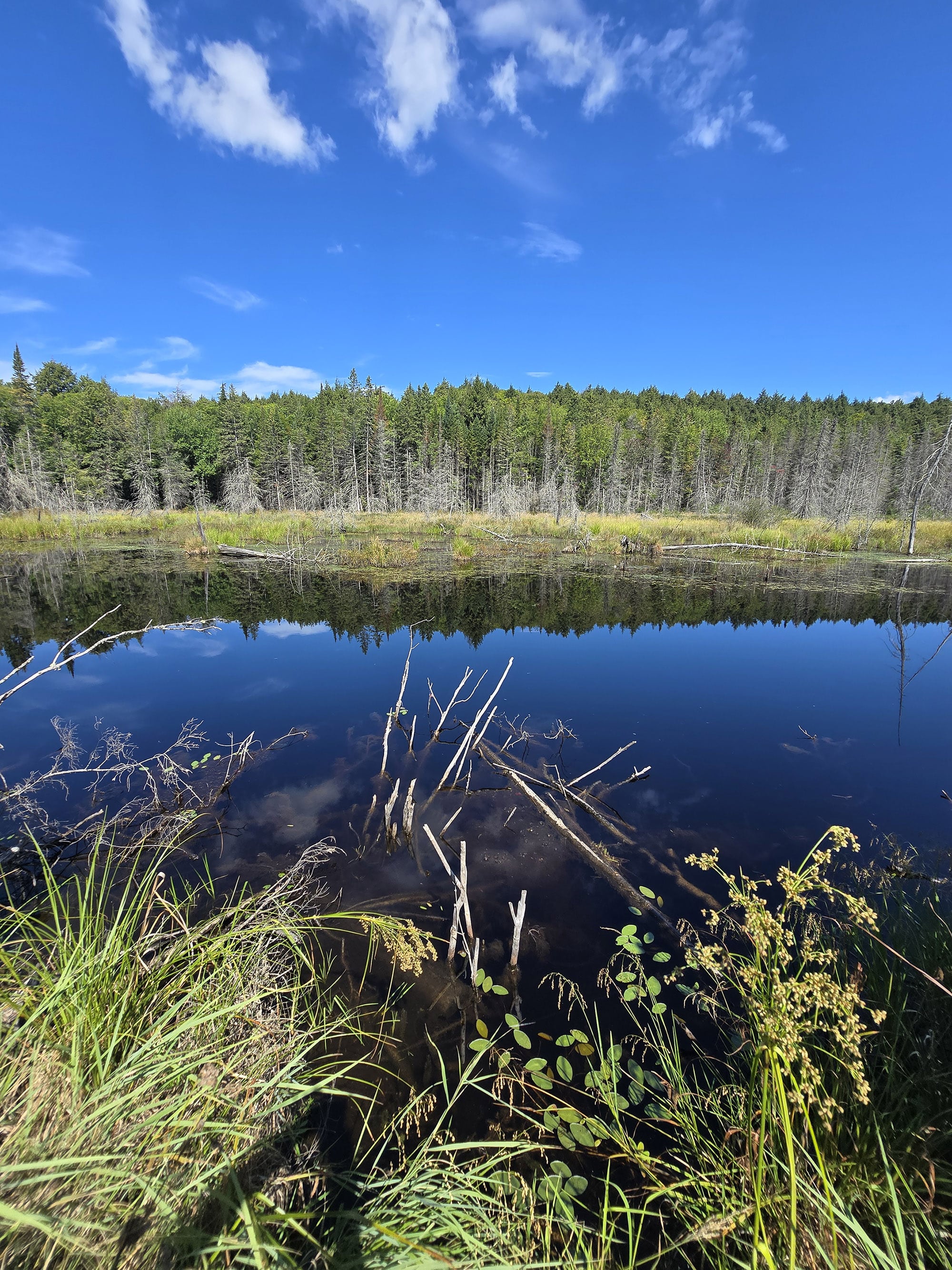
At 5.5km on my walk, I recognized the trail I was on, directly next to a marshy area. I turned around and could see the cliff in the distance, the one with the great view earlier in the trail.

Everything seems well maintained and reasonable difficulty.
Algonquin rates this as difficult, but I rate this as moderate-difficult. There's a lot of climbing involved, and some rough footing, but nothing too extreme in my opinion.
On that note, I noticed a lot of people going backwards on the trail on the last portion, the rail trail portion.
Since that 1.6km portion is easy and has good water views, it's a great option for those that want an easier and shorter hike.

Birding, Wildlife, and Nature
Hiking this on a weekend at the end of August, I didn't expect to see any large animals simply due to the amount of people hiking this trail.
I did hear a few birds, however: American Robin, Black-Capped Chickadee, Red-Breasted Nuthatch, Red Crossbill, and Yellow-Rumped Warbler.
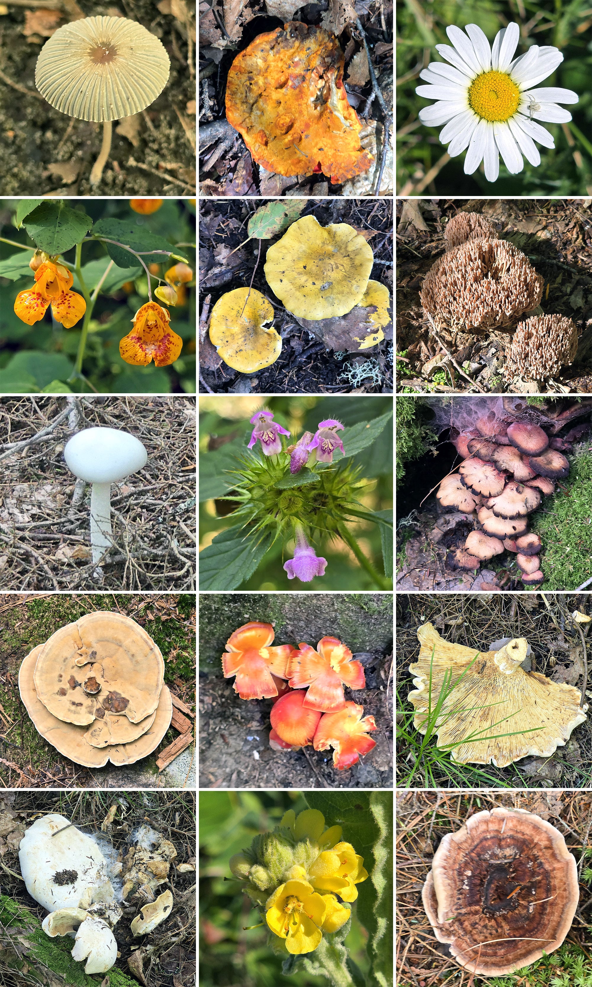
There were some interesting fungi along the bulk of the trail, and some wildflowers more towards the end of the trail.
Educational & Cultural Opportunities
While there are no educational signs on the Booth’s Rock Trail, you can pick up a Friends of Algonquin trail guide at the trailhead.
It’s free to use and return, or you can keep it for $0.50 - there’s a coin collection pay tube thing at the trailhead.
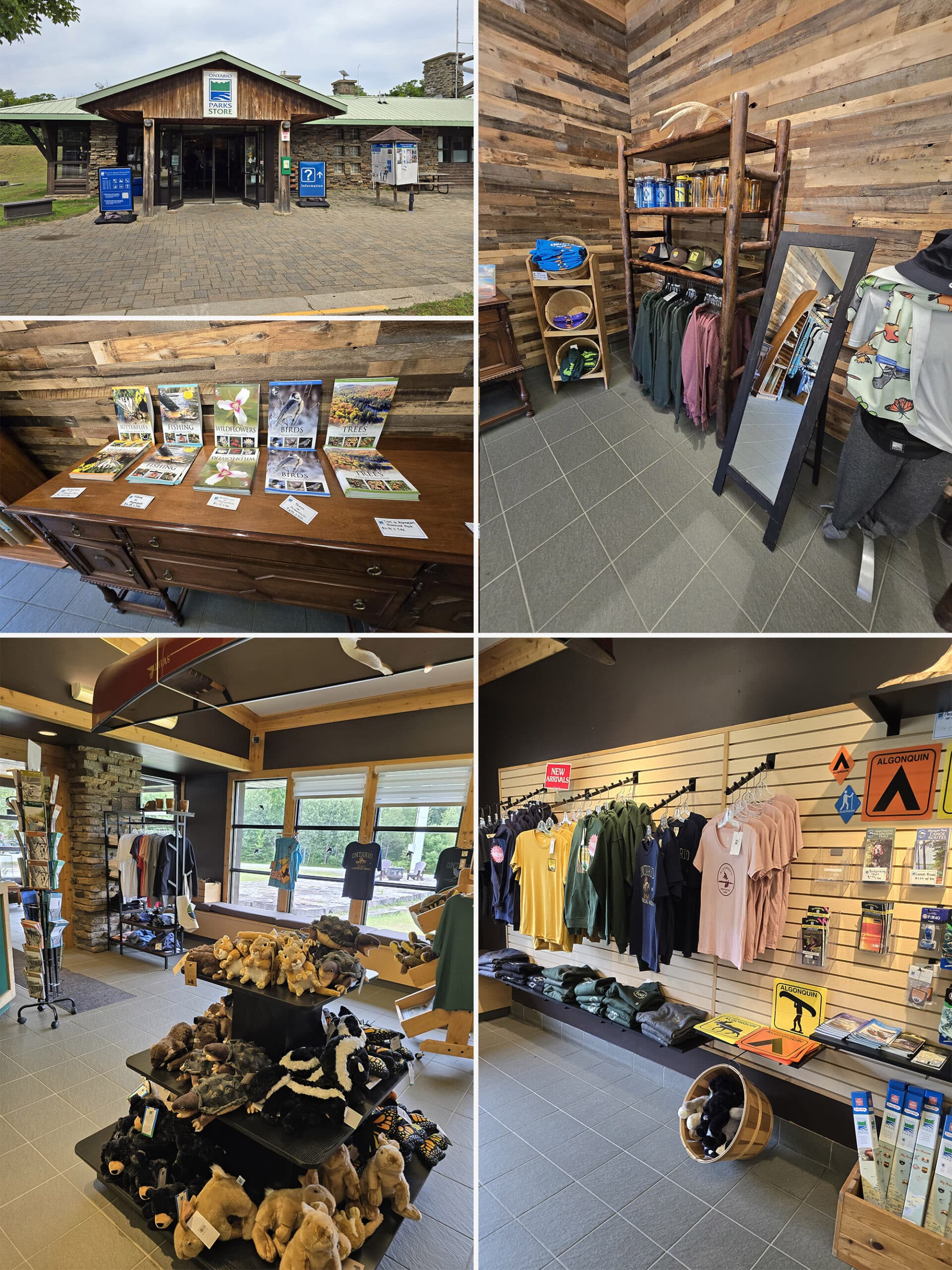
Alternately, the guides are available for purchase at the visitor centre, and at the gates.
These guides are amazing educational accompaniments to the trails in Algonquin Provincial Park, teaching about the geology, flora, and fauna you might see on your hike, as well as some of the history of the area.
They also tend to include information about the elevation changes throughout each trail - especially important on a trail like Booth’s Rock!
All around, a great resource to refer to while you’re on the trail!
Anyway, the reason I mention the guides here is because there are numbered posts along the trail, and each post corresponds to a numbered information section in the guide.
The overall theme of the Booth’s Rock Trail guide is change - the ways humans have impacted the area, and Algonquin Provincial Park in general.
Of particular note: There’s a sketch of the Barclay Estate.
That drawing shocked me - I hadn’t seen it til after hiking the trail, and I would never have guessed the foundation I saw was part of such a large building!
I wonder if I missed a bigger foundation, somewhere?

Winter Activities
Technically, Booth’s Rock Trail is open for winter hiking and snowshoeing in the winter, with the caveat that getting there... might be an adventure in itself.
The 9 km road down there may or may not be plowed at the time of your visit. Sometimes it’s not plowed, but still passable.
That’ll get you as far as the gate for Rock Lake Campground. At that point, you’ll need to park your car and walk/snowshoe the rest of the way to the trailhead, about 1 km.
Final Thoughts
I loved this trail, there's a lot of diversity in what you're seeing - even the forest views shift into different zones.
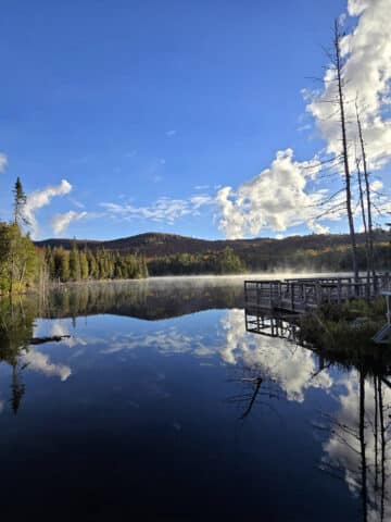
I love overlooks and water views, and this trail offers a lot of that.
There’s a little “choose-your-own-adventure” aspect of it, since you can choose to just to the easy rail trail portion if you like. Next time I'll skip the Barclay Estate since there wasn't much there to look at.
I've heard this is a stunning trail to hike during fall colors, I can't wait to try it during that time.
More Algonquin Provincial Park Trail and Campground Reviews
Want to read some more of what we have to say about the campgrounds and attractions in Algonquin Park?
Check out our Algonquin Provincial Park Mega Post, or any of the links below for even more in-depth info:
Algonquin Provincial Park Campground Guides / Reviews
Achray Campground, Algonquin Provincial Park
< a href="https://2nerdsinatruck.com/brent-campground/">Brent Campground, Algonquin Provincial Park
Canisbay Lake Campground, Algonquin Provincial Park
Kearney Lake Campground, Algonquin Provincial Park
Kiosk Campground, Algonquin Provincial Park
Lake of Two Rivers Campground, Algonquin Provincial Park
Mew Lake Campground, Algonquin Provincial Park
Pog Lake Campground, Algonquin Provincial Park
Raccoon Lake Campground, Algonquin Provincial Park
Rock Lake Campground, Algonquin Provincial Park
Tea Lake Campground, Algonquin Provincial Park
Whitefish Lake Campground, Algonquin Provincial Park
Algonquin Provincial Park Trail Guides / Reviews
Barron Canyon Trail, Algonquin Provincial Park
High Falls on York, Algonquin Provincial Park
Provoking Falls, Algonquin Provincial Park
Interested in exploring campgrounds beyond Algonquin Park? We've got a huge - and ever-growing! - list of them here: 2 Nerds in a Truck Campground Reviews.
We also have posts on Ontario Waterfalls, other Places to See, and a ton of Camping Recipes to cook up, while on your adventures!
Thanks for Reading!If you loved this post - or have any questions about it - please leave a comment below! We'd also love it if you would consider sharing the link on social media! |
Leave a Reply