

The Barron Canyon Trail is a popular hiking trail in eastern Algonquin Provincial Park - Here's everything you need to know about the hike!

We hadn’t done the trail before, as it’s located a couple of hours from the east gate of Algonquin, and 2.5 hours from the Mew Lake Campground - where we usually stay, when visiting Algonquin PP.
The Barron Canyon Trail IS a relatively short distance from the Achray Campground, though - in the northeast part of Algonquin Park.
We had never camped there, on account of some of the horror stories we’ve read about the road in - it’s a long drive on a logging road!
So, we decided to be really efficient about things, and use the trip to ALSO suss out the conditions and that campground, in case we wanted to use it as our base camp the following year... or beyond.
So, we waited for a beautiful day and made a day trip of it - it’s about an hour drive from Bonnechere.
... and Algonquin is an exceptionally beautiful place, in general!
There’s a reason that it was a favourite location of Tom Thomson, one of the Group of Seven artists. (Though the canyon was known as “Petawawa Gorges” at the time)
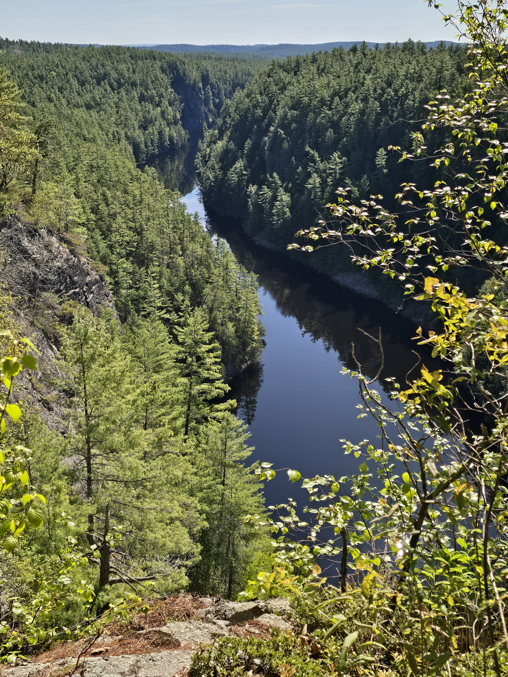
The 100 metre deep Barron Canyon was carved out about 10,000 years ago, during the end of the last ice age.
While it was probably pretty violent waters back then - a major runoff for melting glaciers, enough to form a gorge like that! - it’s now quite calm. And known a great place for paddling through.
I’ve seen amazing photos of the area from that view, also.
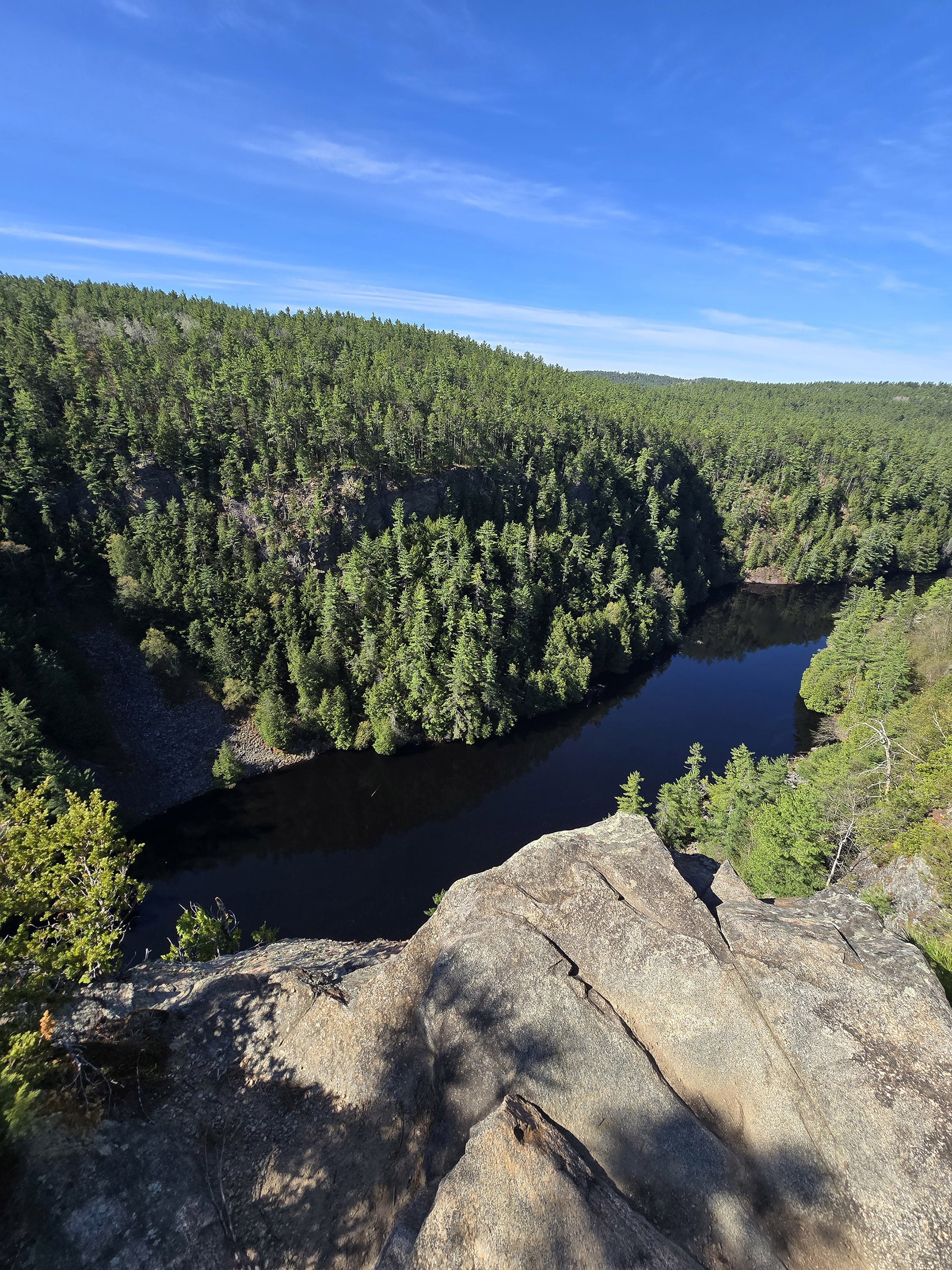
The Barron Canyon Trail gives you an entirely different view, though - it’s a 1.5 km long trail that takes you up to the top of the canyon, then along the north rim of it ... with amazing views the whole way.
We had a fantastic time, so let us tell you everything you need to know about hiking the Barron Canyon Trail!
The Basics:
Location Name: Barron Canyon Trail
Address: Barron Canyon Rd, Unorganized South Nipissing District, ON K0J 2M0 Click here for Google Maps Location
Website: Algonquin Park - Barron Canyon Trail
Price: Ontario Provincial Parks uses a pricing matrix across all their parks. See 2026 Day Use Fees for more details.
Reservations: Ontario Parks Reservations
Logistics
Some basic information to help you plan your visit to the Barron Canyon Trail:
Registration and Check In
Registration and check in will vary slightly, based on where you’re staying.
If you’re camping in Algonquin Provincial Park:
Your license plate is already registered with the park, and you’re good to go. Your camping permit serves as the parking permit.
If you’re camping in an Ontario Provincial Park:
There’s a reciprocal program in place - you won’t need to pay for an additional daily vehicle permit, but you do need to check in.
If you have a current, valid park permit (you can show the email), you’ll stop into the Sand Lake Gate office and they’ll register your license plate.
If you’re just coming in for a day visit:
You’ll need to either book a Daily Vehicle Permit online, or stop in to the Sand Lake Gatehouse and buy one on the spot.
They’ll register your license and you’ll be good to visit anywhere in Algonquin with that day pass.
As we were staying at Bonnechere PP at the time, we went with the second option. The park staff member that signed us in was super friendly, and it went quickly.

Parking
The Barron Canyon Trail parking lot is located maybe 10-12 minutes past the Sand Lake Gate, on Barron Canyon Road.
It’s a relatively small parking lot - I want to say maybe 20 -25 cars worth of unmarked spots.
That number is going to depend on what is parking there and how, though - as we were leaving the park at the end of the day, a truck and long trailer had parked in there.

Washrooms
The best washrooms nearby are at the Sand Lake Gatehouse - during office hours, there are some flush toilet stalls on the back of the building.
In terms of at the trail itself, there is a set of outhouses in the back of the parking lot. It’s the older, vault toilet style but they were in decent condition at the time of our visit.

Maps and Signage
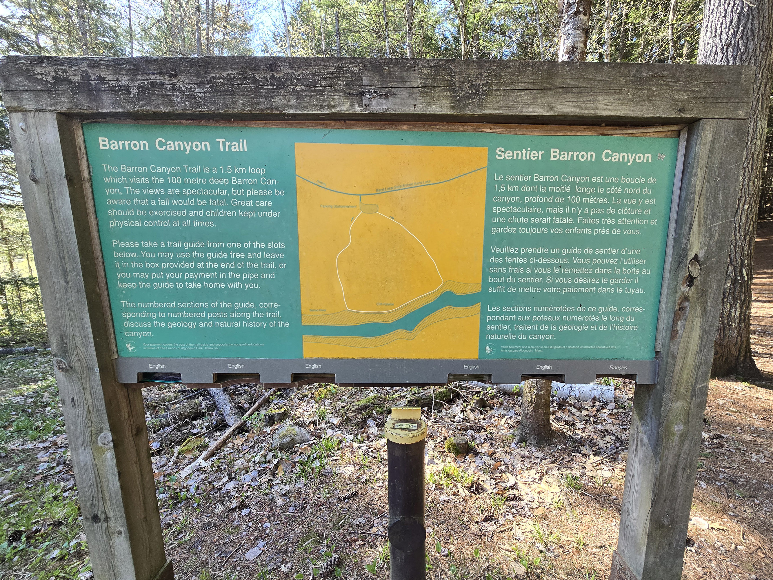
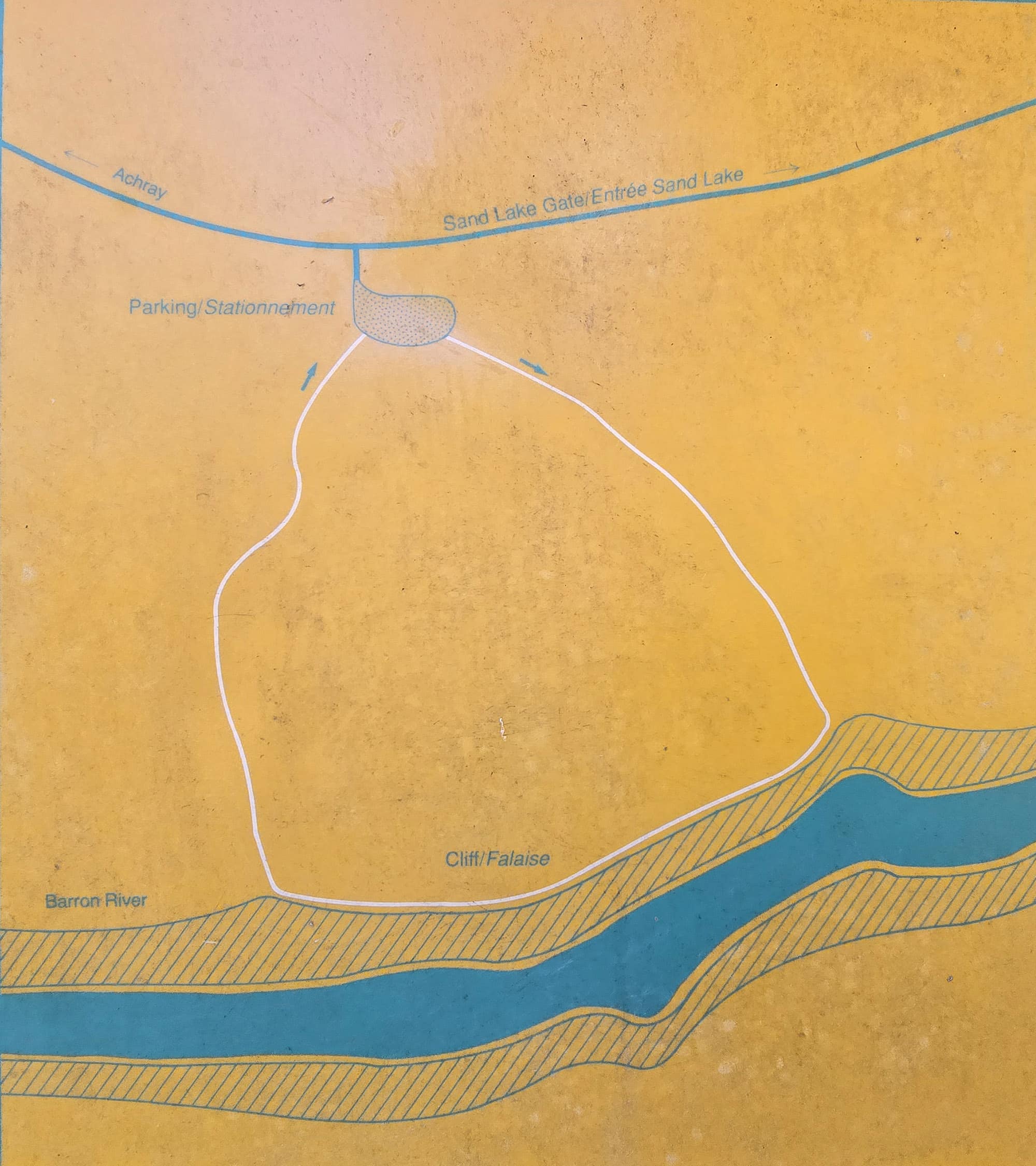
There's a map at the trailhead that tells you what you need to know.
My only “complaint” - it’s a mild one - is that I kind of wish they’d marked segment distances. The distance from the parking lot to the cliff, mostly.
That’s just my own thing - I was struggling a bit on the way up (more on that in a bit), so I like to know how long it would be like that, before getting to the VIEW, you know?
Just a motivation thing!
Anyway, there are some trail blazes along the way, but you really won’t need directional signage on this trail - it’s super obvious, the entire way.
You’re not going to get lost if you stick to the well-defined trail... and if you don’t, you’re not going to see blazes anyway!
Accessibility
The accessibility of this trail is going to very wildly based on what your mobility issues are.
It’s absolutely not wheelchair accessible, but - depending on your general physical condition and what you’re willing to endure - it’s not entirely out of the question for those with other mobility issues.
At the time of our visit, the tendons in my feet and knees were NOT cooperating, and my lower back was having its own little fit, as a result.
Seeing a review that mentioned someone being able to do the trail while 6 months pregnant helped psych me up that I could also do this, though!
The first 0.6 km was a bit rough - it’s uphill - but after that point, it was pretty smooth sailing.
You’ll want to see my trail description a bit later for specifics, but for now I’ll say that I would have been able to do this in a boot or if using a cane at the time of our visit.
The caveat there is that I’m generally strong and with good balance... and I probably do dumb things when in a boot or needing a cane. Your mileage may vary, you know yourself!
I will say that I wouldn’t recommend getting too close to the edge if you have mobility concerns. I avoided doing so just because I didn't have the best control over my foot tendons at the moment.
All told, it took us about 45 minutes - and that was with my taking it slowly, and us stopping for a lot of photos and video.
Pets
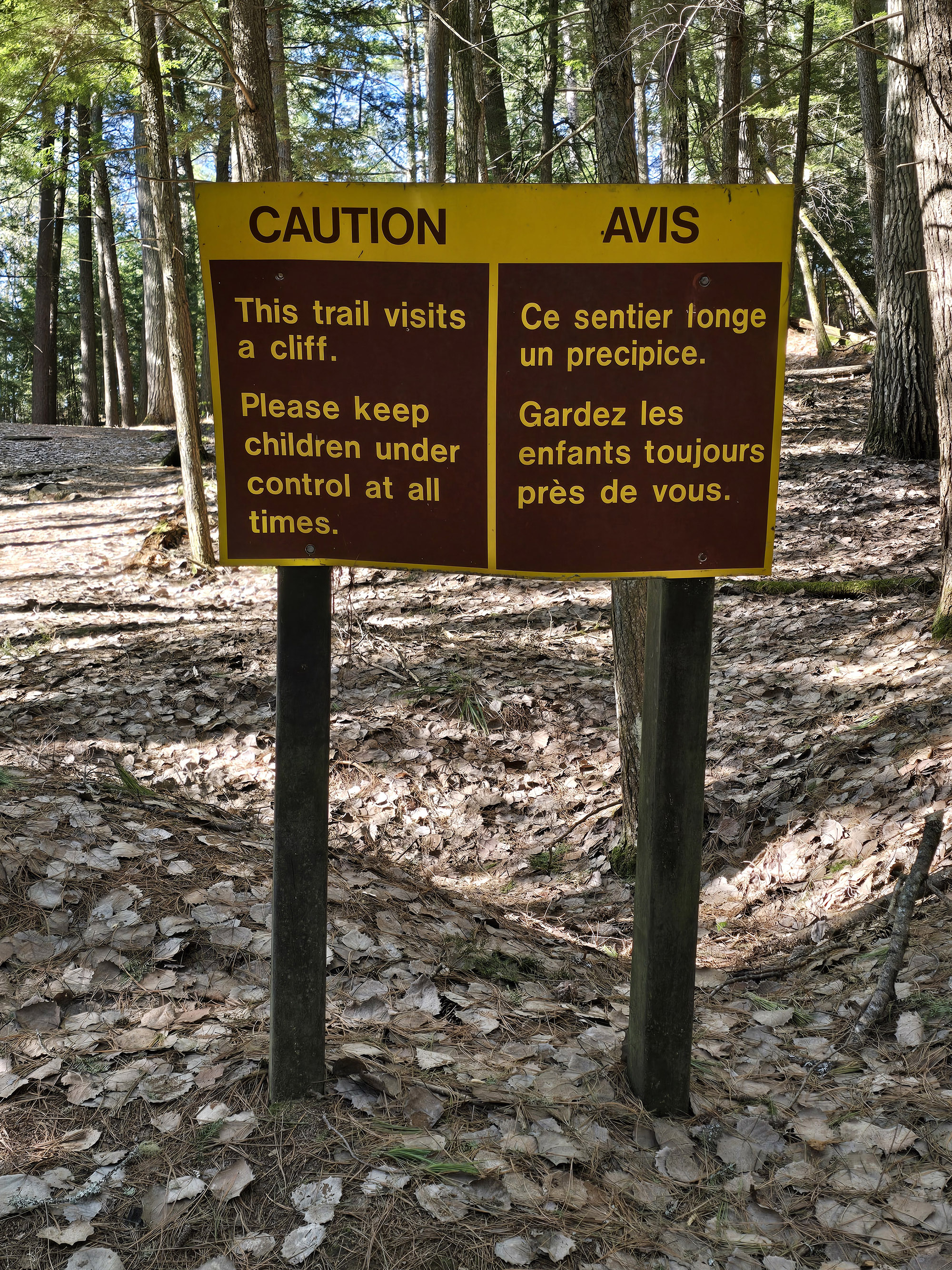
I’ve seen a lot of recommendations to just not bring your dogs on this trail, on account of the cliff edge. Several signs along the way urge you to have your dogs under control at all times, because of that danger.
If you do bring your dog on the Barron Canyon Trail, all the normal Provincial Park rules apply:
Dogs must be leashed at all times - probably a shorter leash than normal, for these conditions. They must be picked up after, and those droppings properly disposed of. (There is a Garbage can in the parking lot.)
They’re also not allowed to harass other visitors or animals.
Visitor Centre
The main Algonquin Provincial Park visitor center is more than 2 hours away, so really not a great option here.
If you continue 30+ minutes past Barron Canyon, you can visit the historical site at Achray Campground... but unless you’re staying there, I wouldn’t say it’s worth the drive just to visit the displays there.
Park Store
The nearest park store is the Sand Lake gatehouse.
It's got souvenirs and trail maps and such, but it does not have snack foods or drinks or anything though.

It’s also a good place to stop on the way out of the park - Porter rewarded himself with some of their scooped ice cream. (He had the Pralines and Cream - fantastic!)

Day Use Area
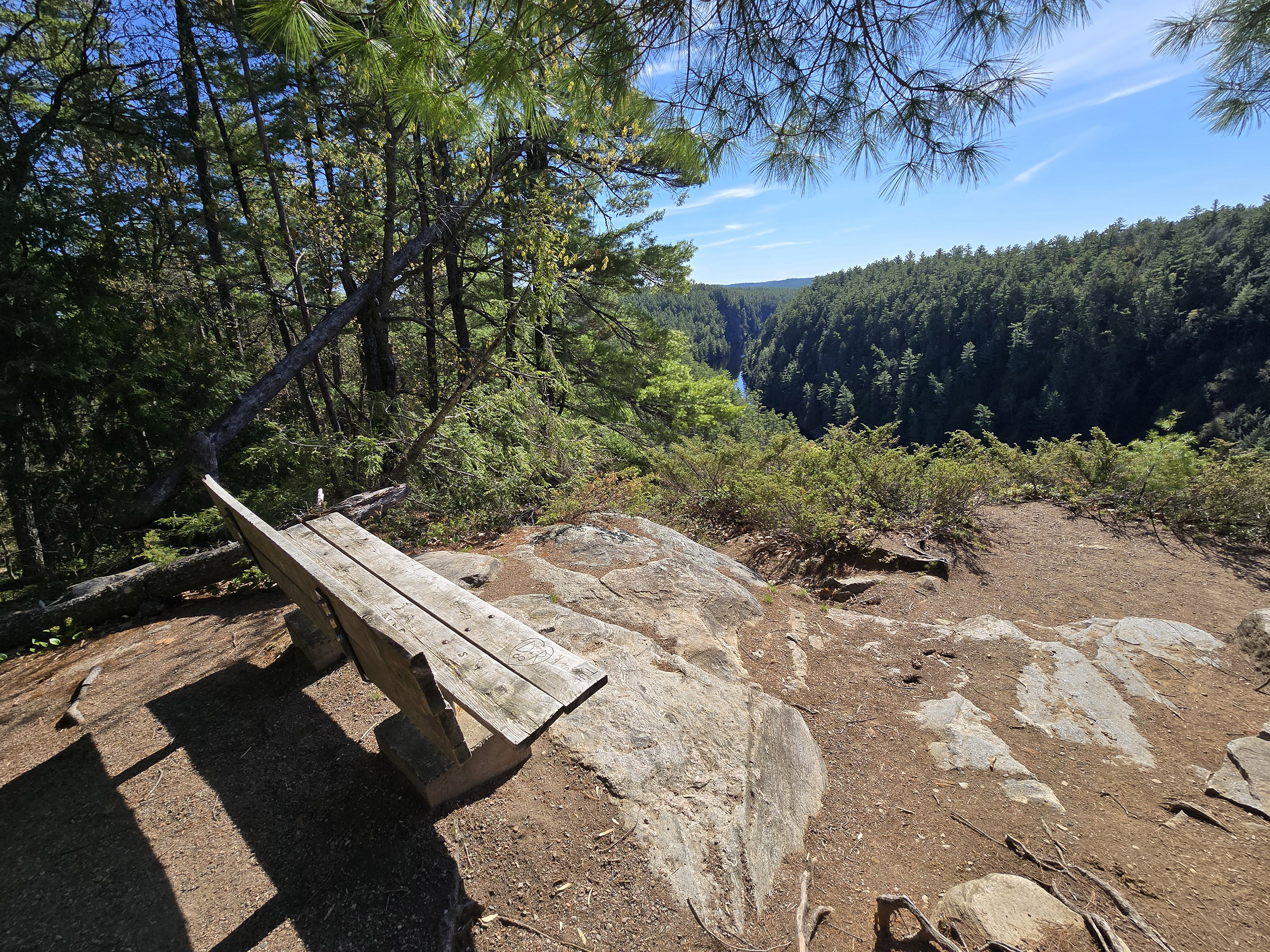
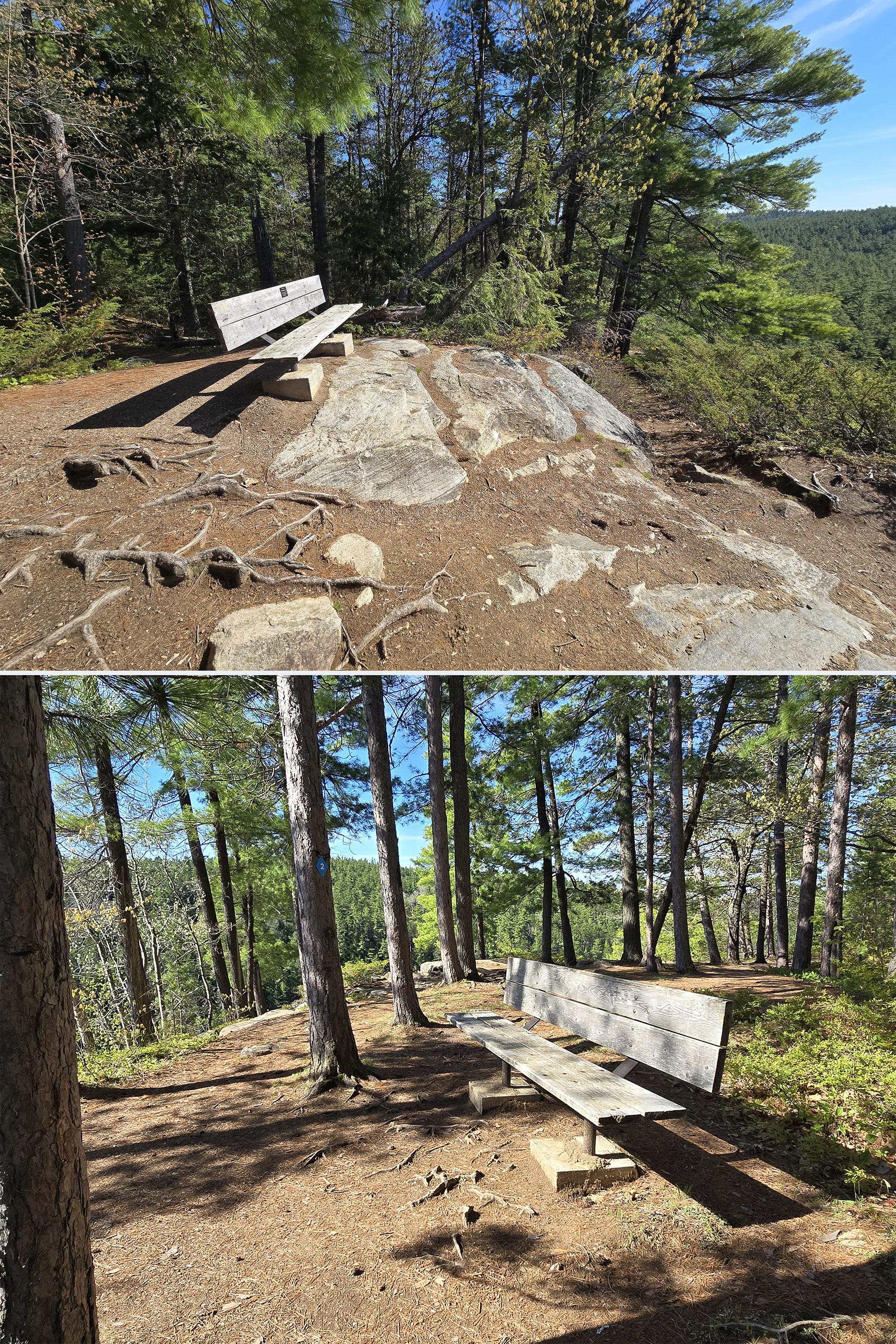
There are two benches along the trail on the cliff portion, but there were no picnic tables either in the parking lot or along the trail.
It’s right on the river - cute spot! This is a few minutes before the Barron Canyon Trail Parking lot, when coming into the park.

Connectivity
There was intermittent cell reception along the road into the park, and good cell reception at the Sand Lake Gate.
We lost connection almost immediately after we past Sand Lake gatehouse, though, and had none in the parking lot for the Barron Canyon Trail.
Interestingly, we had really good cellular coverage along the section of trail that walks along the canyon!
We lost it shortly after the trail turned back towards the parking lot, though.
Miscellaneous
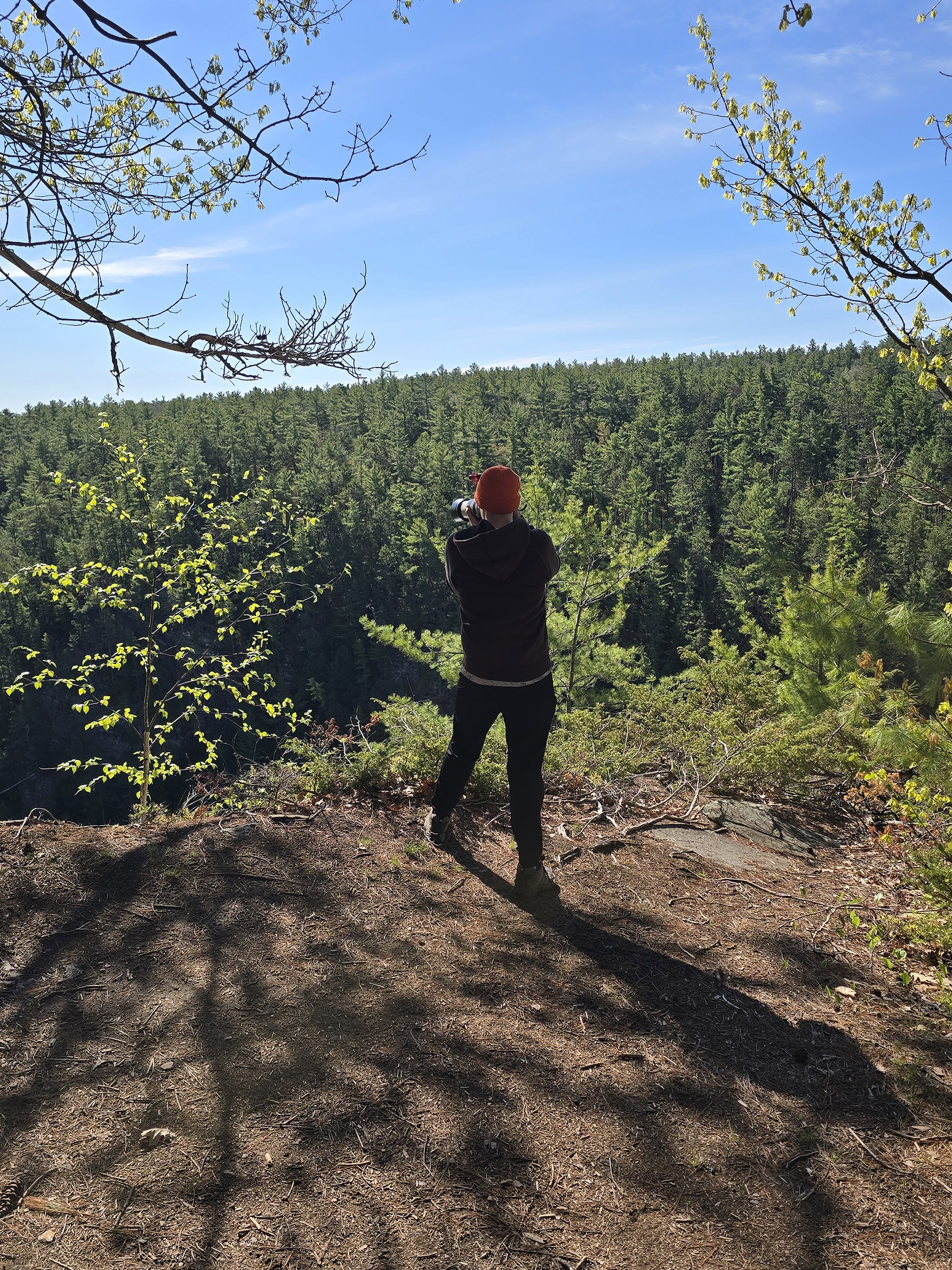
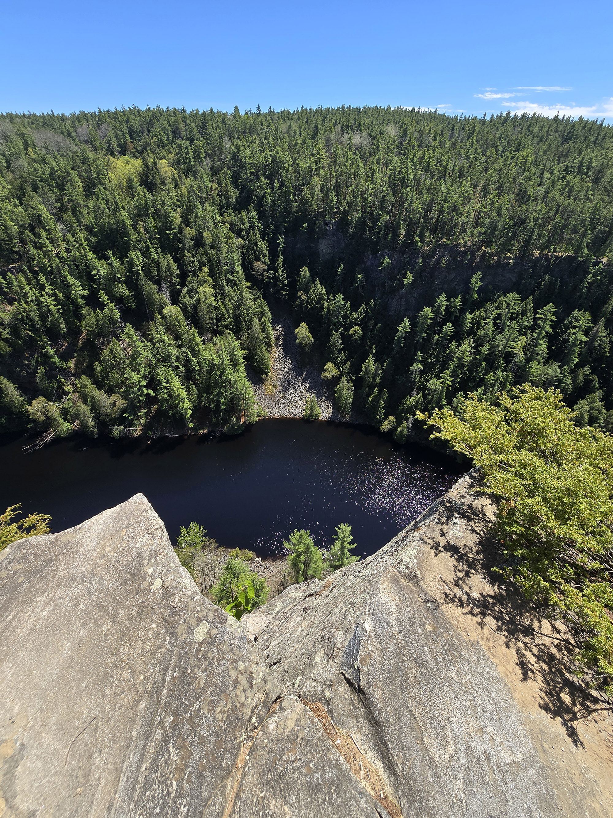
There are no guardrails or safety fences or anything like that. The trail comes pretty close to the cliff, and it’s a serious cliff - you’re not surviving a fall.
Every review I've seen - and pretty much any trail description I've seen - mentions that you should not bring young kids on this trail, and that if you do, you NEED keep them under control.
I would agree, especially now that I’ve seen what it looks like. There are a lot of dangerous spots along the clifftop trail that look like they’d be enticing to small children while the parents are distracted by the view!
The views were lovely first thing in the morning, but the canyon was in deep shadow, as the sun was low.
Porter did the trail a second time, on our way out of the park. By 2pm, the sun was directly overhead, and the views much nicer.
Obviously, the ideal time of day is going to vary based on season, but - if it’s sunny out - we recommend having the sun as overhead as possible.
Share the Love!If you’ve made one of our recipes, be sure to take some pics of your handiwork! If you post it to Bluesky, be sure to tag us - @2NerdsInATruck, or you can tag us on TikTok, if you’re posting video. We're also on Pinterest, so you can save all your favourite recipes and park reviews to your own boards! Also, be sure to subscribe to our free email newsletter, so you never miss out on any of our nonsense. Well, the published nonsense, anyway! |
Entertainment and Activity
Some basic information on the things you can see and do while hiking the Barron Canyon Trail:
Hiking
This is a 1.5 km hike, and it’s rated moderate. We MOSTLY agree with that - the distance was accurate, but coming up with the trail difficulty is a bit... messy. More on this in a bit.
Starting at the trailhead, there's a sustained uphill walk of about a quarter kilometer. It levels out for a little bit and it goes uphill again.
The extremely steep section levels out about 100 m later. The trail then reverts to a very gentle uphill until you get to an opening with a bench.
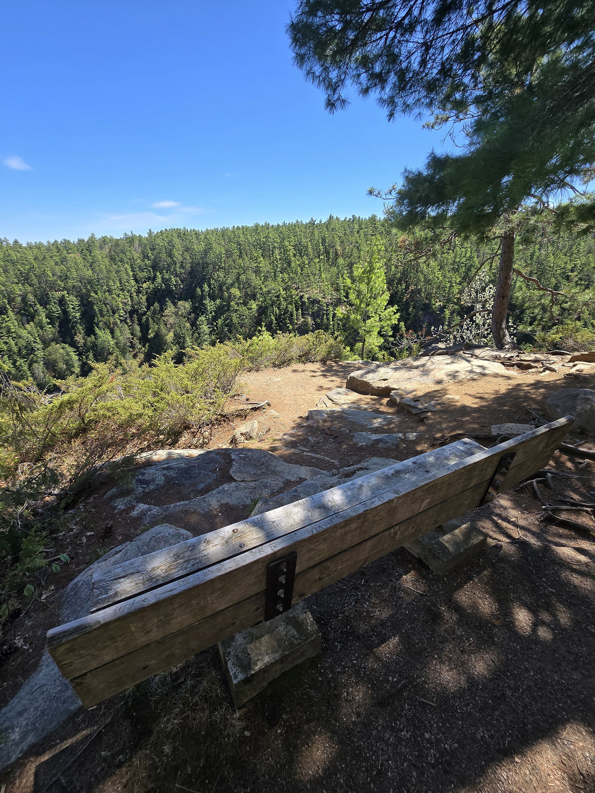
After a big uphill section, seeing the way the sun was shining on the bench in the distance... it looked like something off a church meme or something, LOL.

It’s kind of on a rocky point that looks out over a section of the river, and with a clear view of some of the canyon walls surrounding the area.
It’s a great first view of the canyon on this trail, and really whets your appetite for what is yet to come.

This is also the point where the trail goes from a wide well-packed area to being more natural steps (roots and rocks), a little bit more rough.
The trail quickly comes to another overlook.

Pretty sure this was the highest point of the trail, and everything seemed pretty easy afterward.

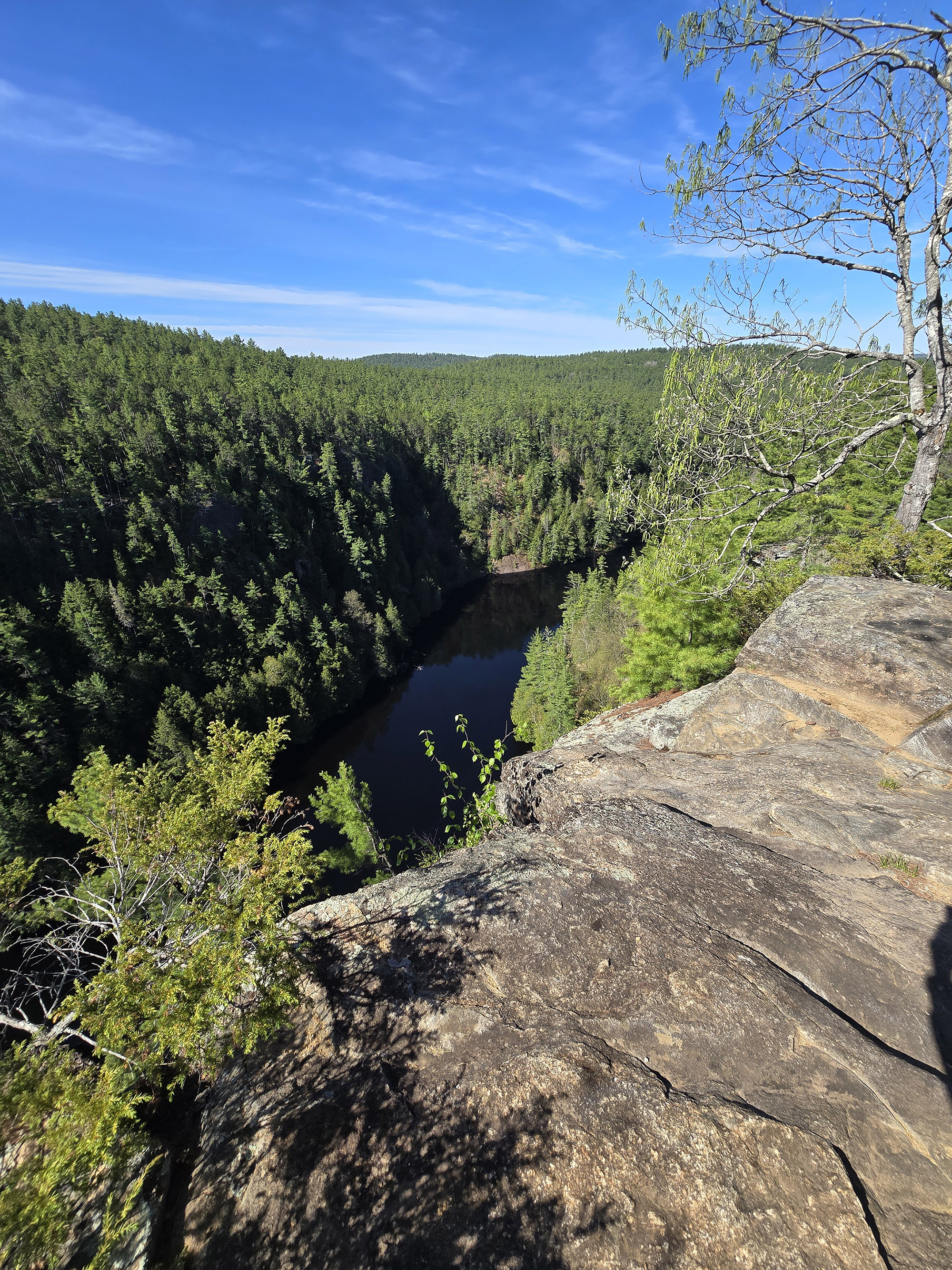
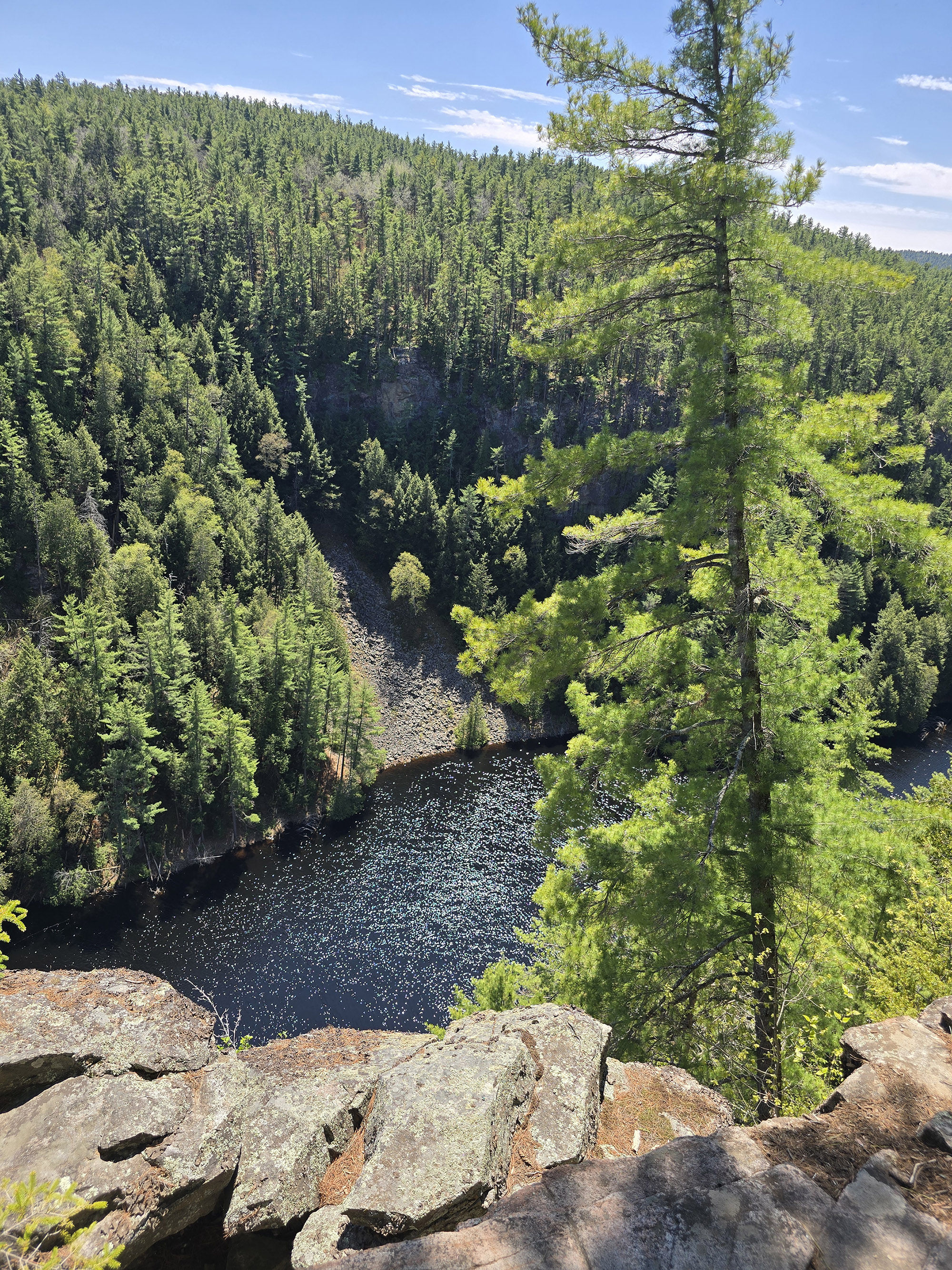
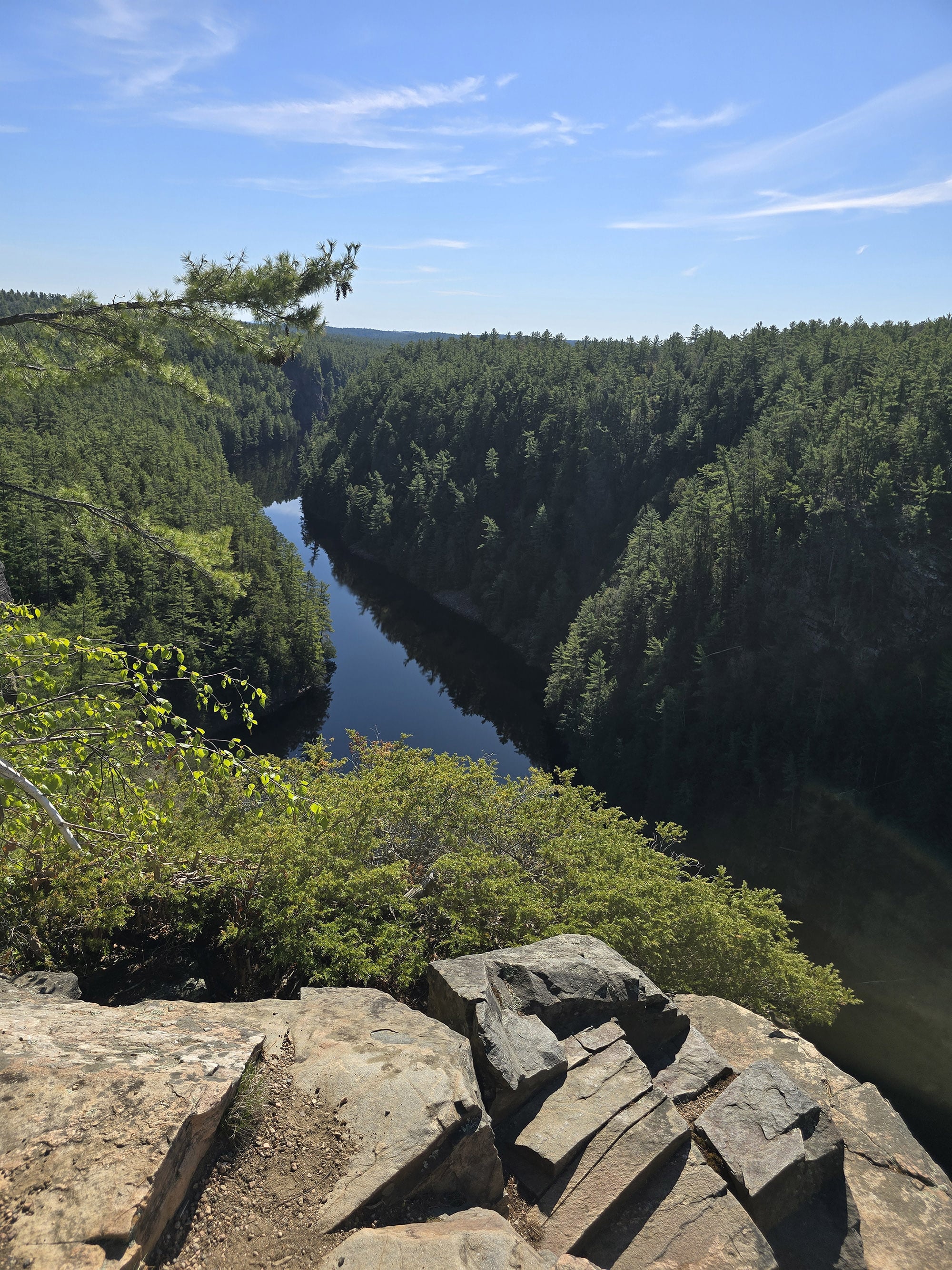
You’ll just walk along the granite cliffs, with multiple gorgeous vantage points along the way - some marked, some not.

The path back to the parking lot isn't straight downhill. It goes gradually downhill, then flattens out a bit, then slightly uphill ... etc.
The trail isn't as wide and flat as the uphill on the way in, and there's some rocks, roots, and uneven footing.

It's nothing too hardcore but you will want to watch your step.
At one point, I kind of zig-zagged my way down the trail, crossing back and forth over the trail to mitigate the steepness of it.
We did stop to sign the visitor’s register... but it was completely soggy, so we did not.

A Note on the Trail Difficulty Rating
On one hand, part of the trail is a fairly steep uphill / downhill. At the same time, that part of the trail feels like a fairly easy walking trail... just on a slant. If that makes sense?
It’s wide, flat, well packed, you’re not having to step over lots of rocks or roots or anything.
While there are some rocks and roots along the clifftop trail section, that section is more ... moderate end of easy. It’s mostly flat, there aren’t any BIG steps up or down.
The last part of the trail is the most “moderate” of the lot (if ignoring incline), and even then... it’s just some small roots and rocks, on an incline.
Porter - the able bodied one - says it’s a moderate.
I - the one with the mobility impairment issues - say that it’s more “moderate end of easy” or “easy end of moderate”. I don’t know, it’s a weird one.
If you take the uphill out of the equation, it would be an easy trail, and the fact that the uphill part is so wide, level... It seems different than if you’re going up over roots and super rocky terrain, you know?
Biking
Cycling is not allowed on this trail.
Swimming
There are no swimming opportunities at this trail, but there’s a beautiful beach at Achray Campground. (The West Beach is much nicer than the east one.)

Birding, Wildlife, and Nature
As is usually the case at this time of year, we heard a lot more than we saw, and we saw a lot more than we could actually get photos of.
This was just due to the full leaves in the trees, and the birds tending to stay pretty high up in that tree canopy.
Pretty much everything we actually saw was too far up, obscured by branches, and/or moving around between the leaves too fast to focus on.
Overall, we heard and/or saw:
Black-and-White Warbler, Blackburnian Warbler, Black-Throated Green Warbler, Blue-Headed Vireo, Blue Jay, Chimney Swift (we question this one though!), Common Loon, Golden-Crowned Kinglet, Gray Catbird, Great Horned Owl, Hairy Woodpecker, Nashville Warbler, Northern Parula, Northern Waterthrush, Northern Yellow Warbler, Ovenbird, Pine Warbler, Red-Breasted Nuthatch, Red-Eyed Vireo, Song Sparrow, Turkey Vulture, and Yellow-Rumped Warbler.
We also saw some squirrels, some kind of a Garter Snake, and an interesting fungus that looked like a creepy smiling face!

Row 2: Gray Catbird, Weird Fungus
Boating
There’s no direct access to the Barron Canyon from the trail or trail parking, but you have a few other access points that you can put in and paddle through the canyon.
The two closest Barron River parking lot options we saw were the Squirrel Rapids Parking Lot, and the Brigham Lake Parking Lot.
The Squirrel Rapids Parking lot is shortly before Barron Canyon Trail, as you’re coming into the park. This one gives easy access to the water - the rocky shore is right on the side of the parking lot.
The Brigham Lake launch point is a bit more work - it’s a 150 m portage to get from the parking lot to the water.
Either way you go, your canoe trip can be as extensive as you want it. There are all kinds of lakes in the area, with a ton of portages along the way.
Sand Lake Gatehouse sells paddling maps - probably a good idea!
Fishing
There is no appropriate place for fishing from the trail.
If you're into that, you’ll want to look at canoeing in the Barron Canyon, or try fishing on the surrounding lakes.

Row 3 & 4: Squirrel Rapids
Discovery Program
There are no educational signs along the trail, but there are some numbered posts / blazes on trees.
These are reference points for the Barron Canyon Trail guide, which you can buy for 50 cents at the Sand Lake Gate - I definitely recommend doing so.
The trail guide is a wealth of information on the trail, both on the history, geology, and nature highlights, and actual trail information as well.
For instance, there’s a trail elevation graph on the inside of the front cover - would have loved to see something similar on the trailhead sign, even if this graph... doesn’t really line up with our perceptions of when and where the elevation changes were.
Anyway, that trail guide is the best educational opportunity you're going to have at the trail.
Niantic Games
Shockingly, there's a little bit of internet on the trail ... and a single Pokestop! It’s about ⅔ the way along the trail , at the 4th numbered lookout spot.
We did submit the first memorial bench as a potential stop, so maybe they'll be a second one soonish.
Final Thoughts
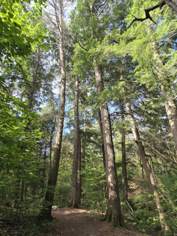
This is a really nice trail - wide, easy to navigate, etc. Not only are the views of the gorge amazing, the forest views on the way to and from the cliffside are lovely, as well.
One nice thing about this trail is it seems like there's a big payoff, for not as much effort as you may expect.
The uphill start is a little challenging but not super brutal. It's only 600 m until you get to the gorgeous views, and then the views are maintained over a pretty significant section of the trail.
... And again, the forest hike up and down is pretty also, so it really just feels like you get a LOT for your effort.
We would definitely do this one again, if we end up camping at Achray Campground in the future.
More Algonquin Provincial Park Campground Reviews
Want to read some more of what we have to say about the campgrounds and attractions in Algonquin Park? Here are some more reviews!
Algonquin Provincial Park Mega Post
Brent Campground, Algonquin Provincial Park
Canisbay Lake Campground, Algonquin Provincial Park
Kearney Lake Campground, Algonquin Provincial Park
Kiosk Campground, Algonquin Provincial Park
Lake of Two Rivers Campground, Algonquin Provincial Park
Mew Lake Campground, Algonquin Provincial Park
Pog Lake Campground, Algonquin Provincial Park
Provoking Falls, Algonquin Provincial Park
Raccoon Lake Campground, Algonquin Provincial Park
Rock Lake Campground, Algonquin Provincial Park
Tea Lake Campground, Algonquin Provincial Park
Whitefish Lake Campground, Algonquin Provincial Park
Interested in exploring campgrounds beyond Algonquin Park? We've got a huge - and ever-growing! - list of them here: 2 Nerds in a Truck Campground Reviews.
We also have posts on Ontario Waterfalls, other Places to See, and a ton of Camping Recipes to cook up, while on your adventures!
Thanks for Reading!If you loved this post - or have any questions about it - please leave a comment below! We'd also love it if you would consider sharing the link on social media! |

Leave a Reply