Inglis Falls Conservation Area is located in Owen Sound. Here's what you need to know about the beautiful waterfall and hiking trails!
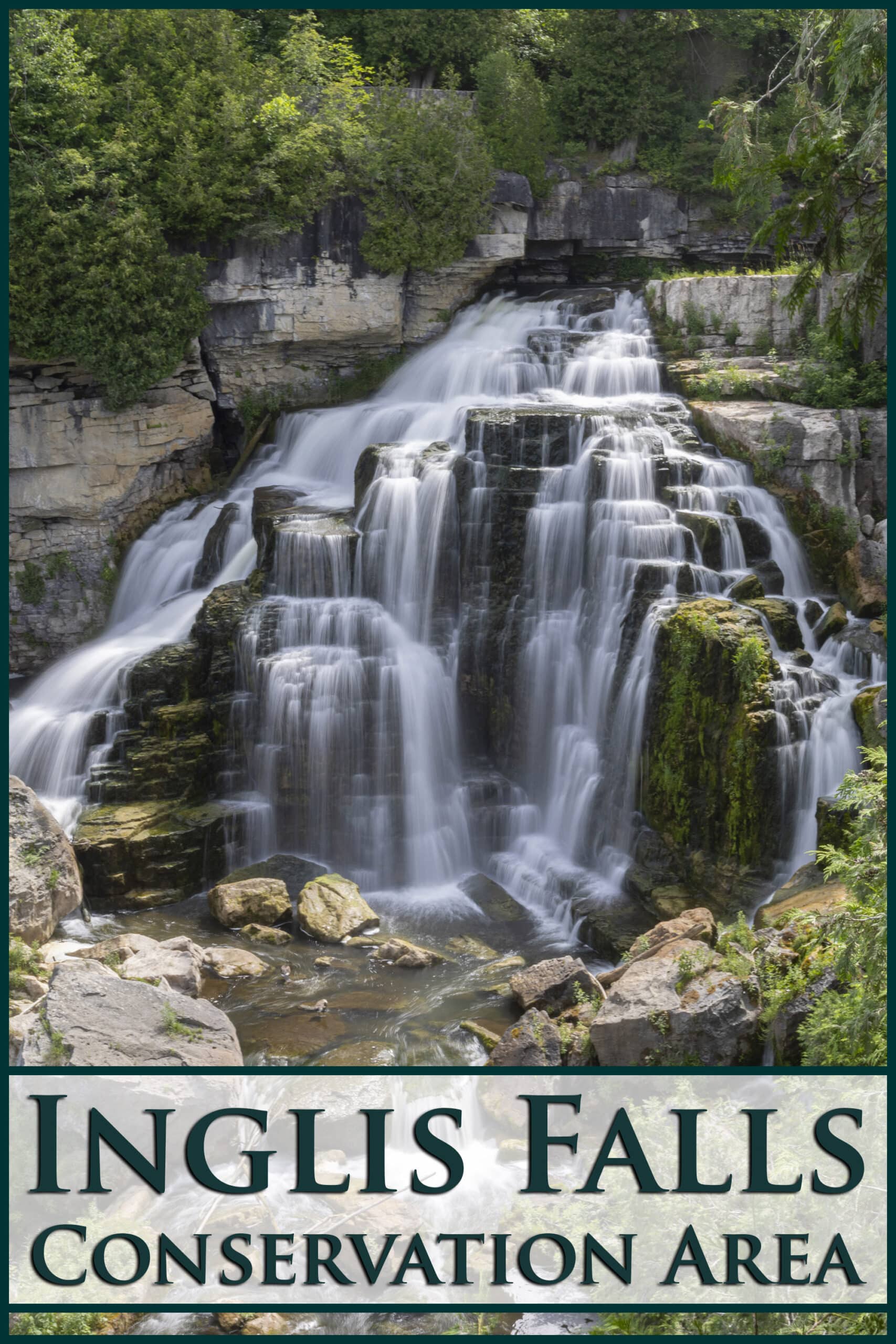
Named after Peter Inglis - a 19th century entrepreneur - it’s one of the best waterfalls in the Owen Sound area.
(Nearby waterfalls include Eugenia Falls Conservation Area, Hogg's Falls, and Walter's Falls.)
We’ve actually visited a couple times now - once when we were camping at MacGregor Point Provinicial Park this past winter, and again earlier this month, when we were camping at Meaford Memorial Park.
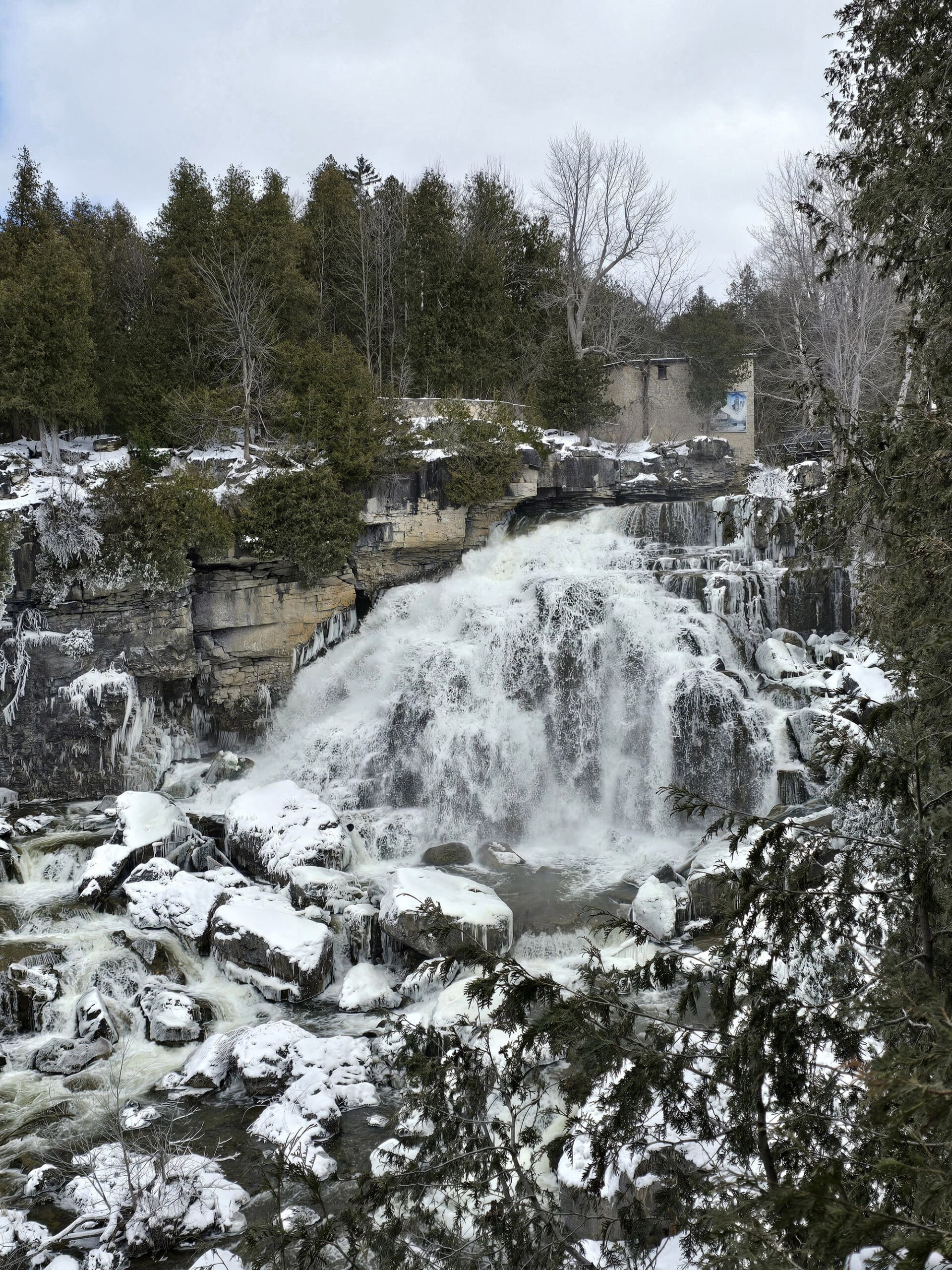
It was absolutely gorgeous - the falls AND the trails - in the winter, it was beautiful in the summer, and I’m thinking we’ll need to check it out in the fall - maybe late October.
I bet that 18 metre high cascade will be even more picturesque, surrounded by gorgeous fall colours!
While the falls are the main attraction here, they’re really just the heart of the 200-hectare Inglis Falls Conservation Area.
Unlike some other waterfall attractions, this one actually has some fantastic walking trails, the historical remains of a grist mill, glacial potholes, birding, and all kinds of other opportunities to enjoy the outdoors.
Anyway, lots to talk about, so let’s get to it!
The Basics:
Location Name: Inglis Falls Conservation Area
Address: 237785 Inglis Falls Rd, Owen Sound, ON N4K 5N6
Website: Inglis Falls
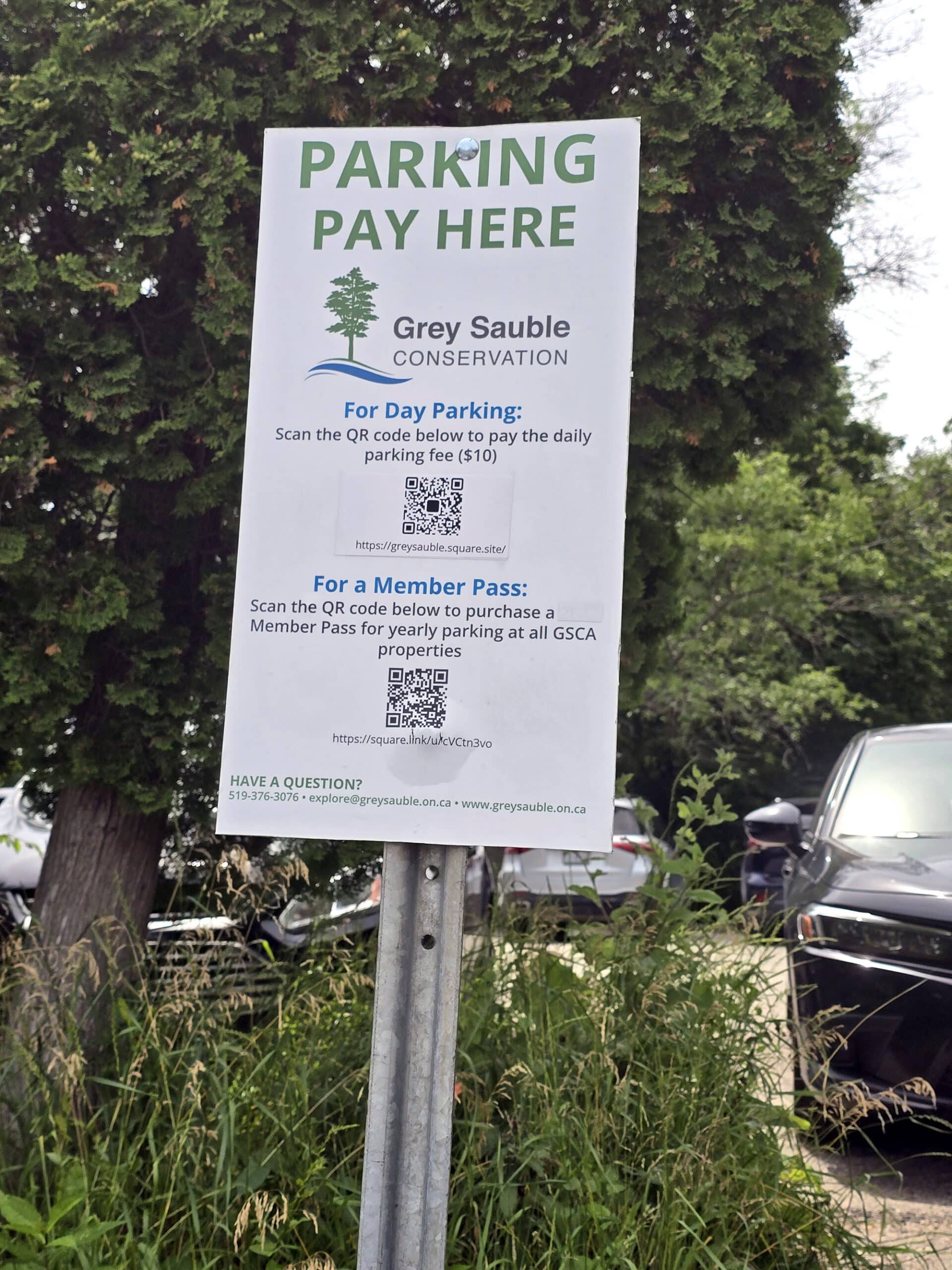
Price: At the time of publication, parking/entrance fee is $10/day (per car).
Reservations: Grey Sauble Square Site - Pay for Parking
Registration and Check In
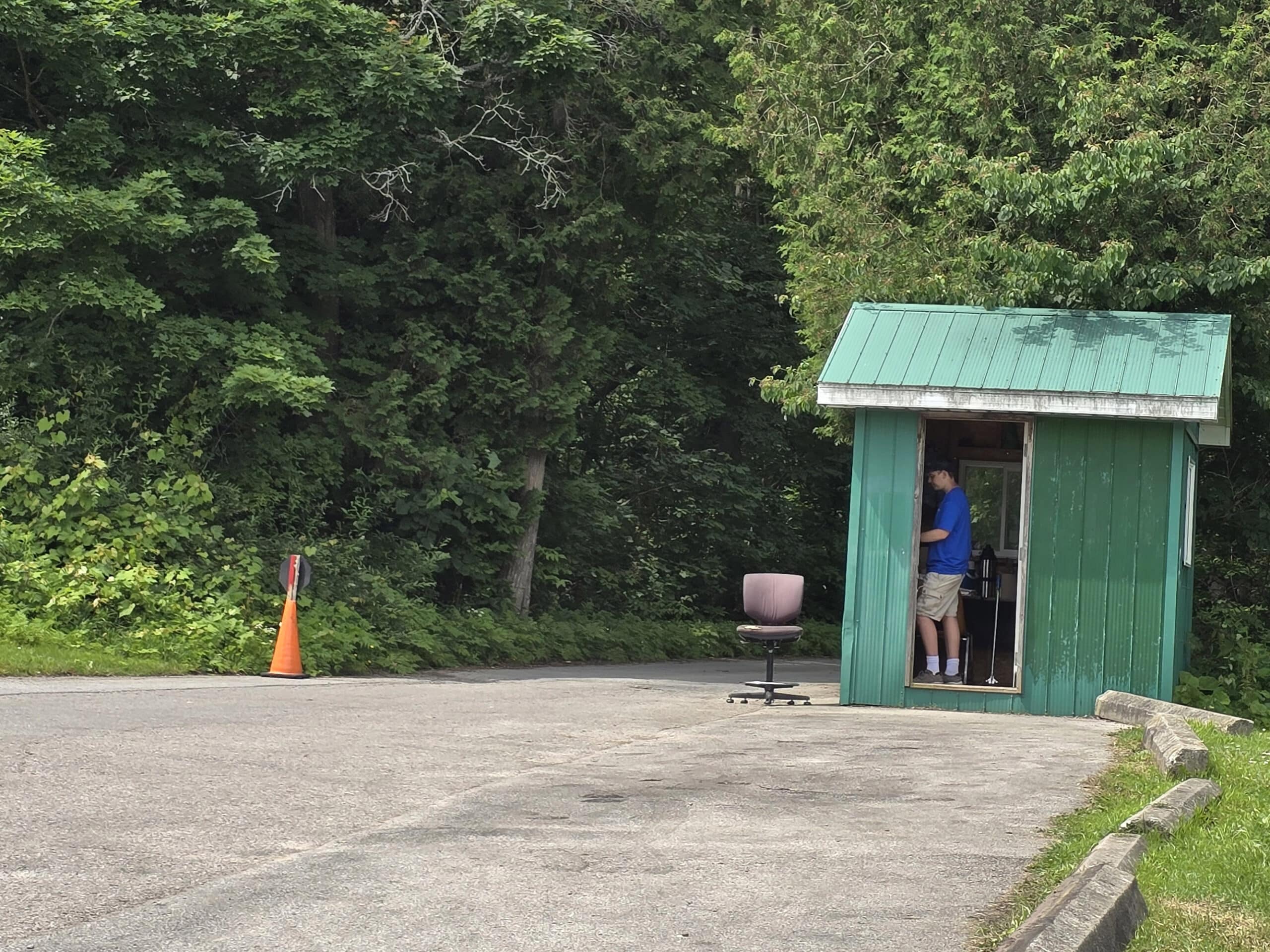
On our first trip to Inglis Falls, the parking lot wasn’t staffed. We’d purchased our ticket online ahead of time, and that was that.
There were also signs in the parking lot with QR codes, for people to pay on the spot.
When visiting over the summer, we’d assumed it would be the same - and we booked ahead.
This time around, there was actually a guy manning the gate, and check in was actually really annoying.
I feel like booking ahead at somewhere that generally uses QR codes and license plates online shouldn’t take a full 5 minutes of interaction at the gate, actually having to hand my phone over for him to scroll, etc.
Also, the attendant leaned WAY into our car window - head right inside - even though we were masked and he was not. Read the room, buddy.
Parking
The parking lot at Inglis Falls Conservation Area is relatively small, and split into two sections - it’s sort of a one-way loop, with an exit that is completely separate from the entrance.
Parking and entrance fees are the same thing, charged by the car.
Park Map
While I’m not a fan of the online map system that Grey Sauble Conservation uses (I don’t find the website very user friendly, ESPECIALLY on mobile), there’s a big map on site, and that one is good.
The trails are all clearly laid out, colour coded, and with their permitted usages laid out in an easy to follow format.
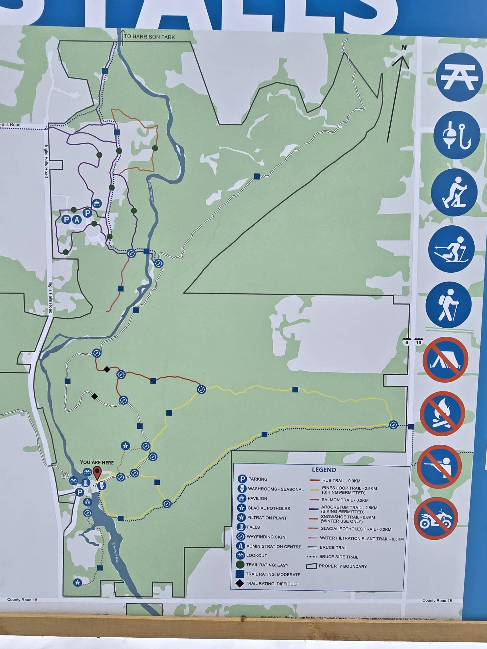
I like that it - unlike the website map - shows the distances of each of the trails. Couldn’t find any information about the trail difficulty levels, though.
Signage
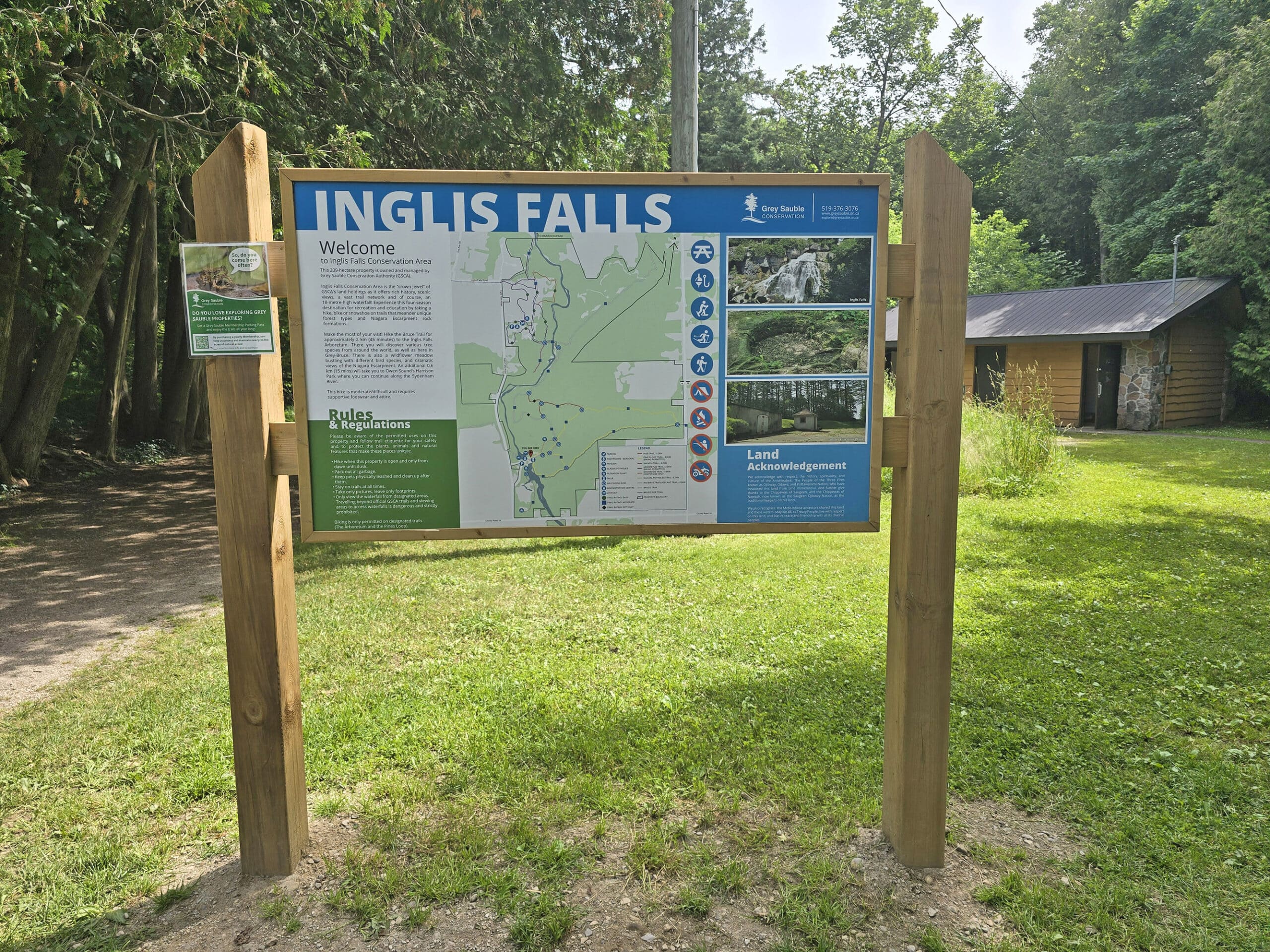
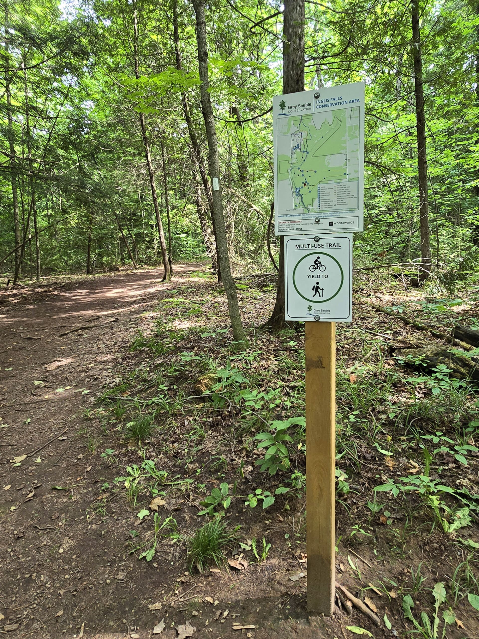
The signage on the trails is great!
The trails are clearly marked, there are smaller versions of the main map along the way, the sections of Bruce Trail are clearly marked with their blazes (blue or white), etc.
Washrooms
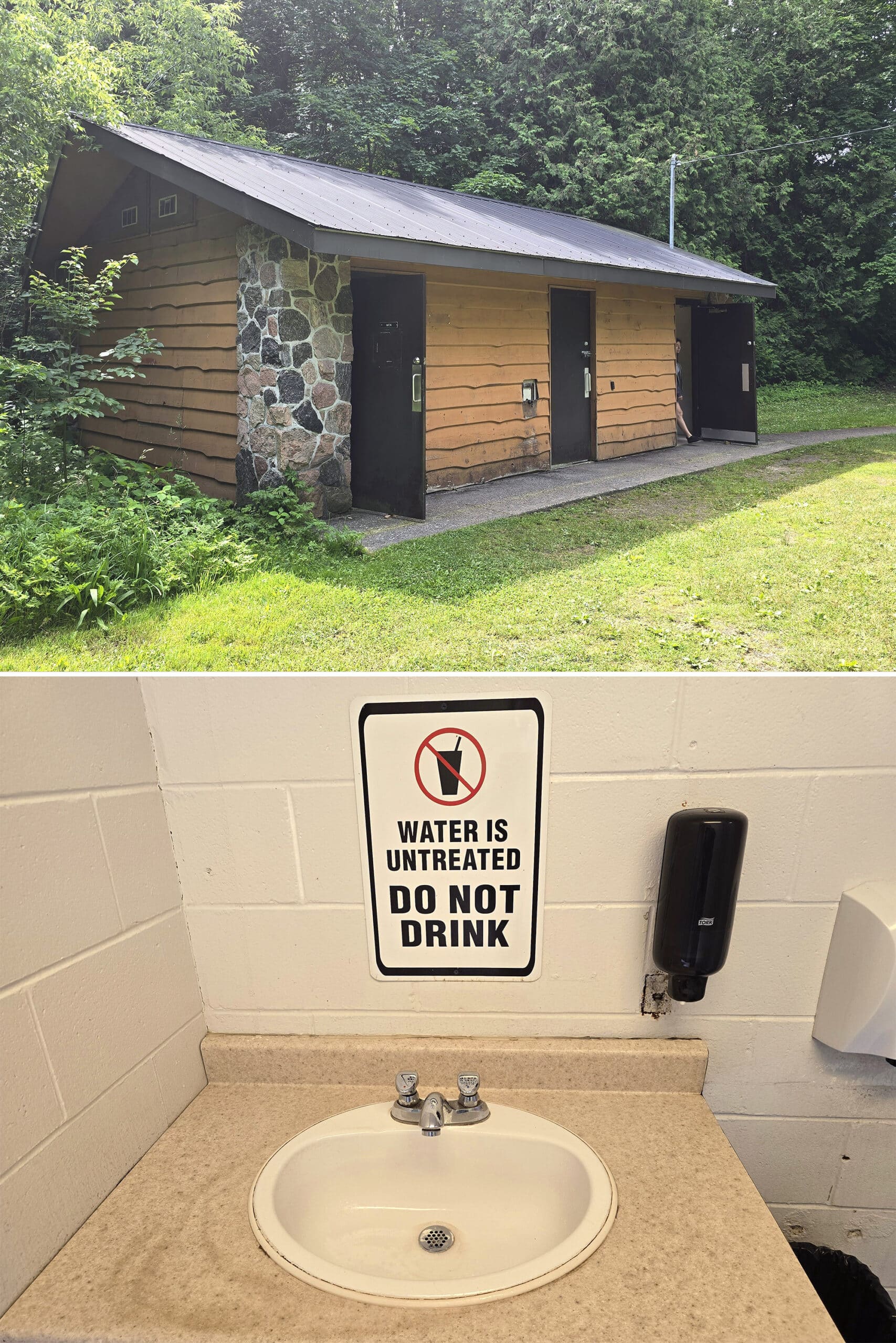
The one washroom in the park is just over the small bridge, when heading out from the parking lot.
It was closed during our winter visit, and was in decent condition during our summer visit. That said, there was a sign indicating that it used untreated water and to not drink it.
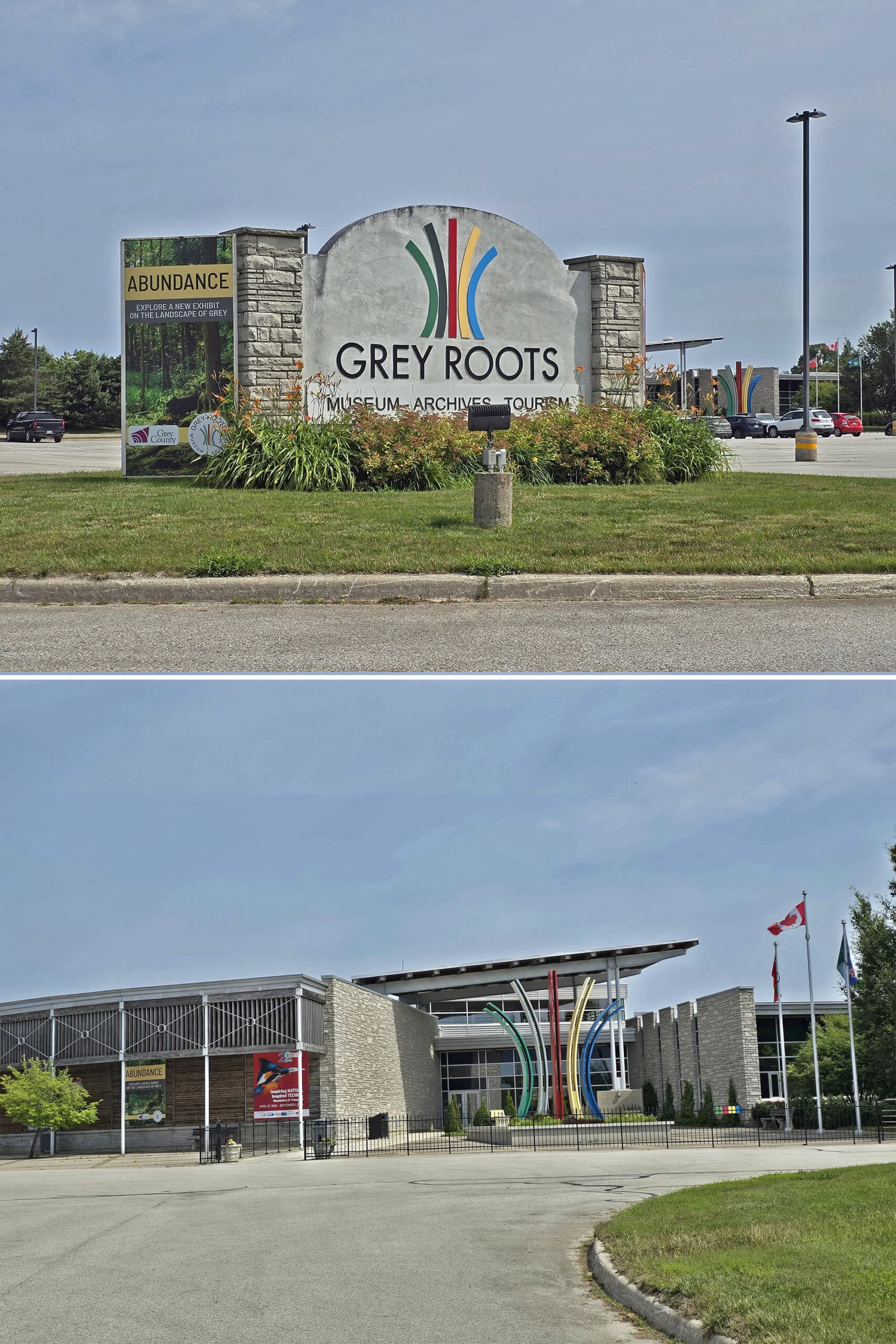
During the winter when the washroom building is closed, there’s a sign directing you a few minutes up the road, to the Grey Roots Museum and Archives.
Accessibility
So, bit of a mixed bag for accessibility with this one.
On one hand, the trails - so far as I could tell - were generally accessible. I’m guessing some of side trails area (with the potholes, etc), but the 3 trails we did were all wide, well packed trail.
The exception would be the Water Filtration Plant Trail. Not wheelchair accessible, but I’d have been able to do it in a boot or with a cane.
You’ll be able to see the top of the falls, and POSSIBLY use the wooden viewing platform off to the left (I forgot to check the accessibility of the platform, waiting to hear back from the park) ... but that’s about it, in terms of the actual waterfall viewing.
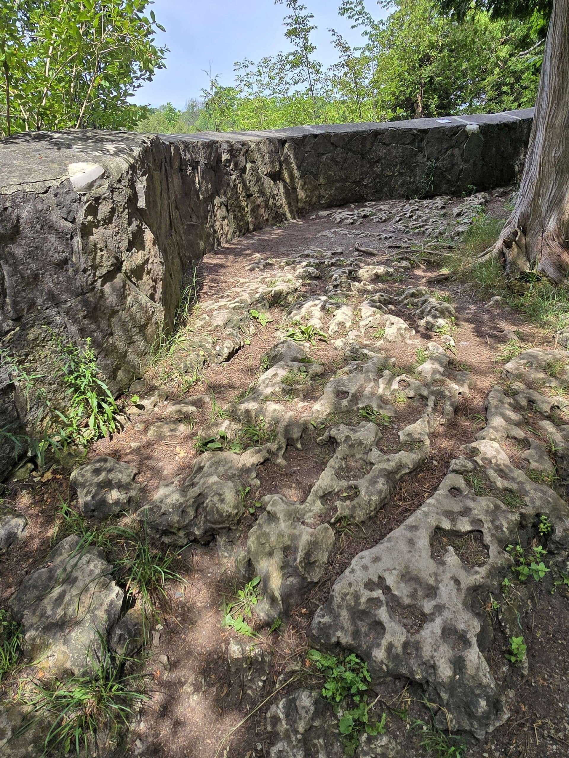
All of the really good views of the falls start off by going down some stone steps, and the more natural openings (beyond the rock wall outlook) all involve going up and down some steep stairs and over some rough trail.
While I could do it in a boot in the summertime, I definitely wouldn’t recommend going down that way if there’s snow/ice/a lot of water present.
Pets
I didn’t see any signage about dogs while at Inglis Falls Conservation Area, so I had to look online to try and figure it out.
I wasn’t able to find any info about dogs on the Grey Sauble Conservation Authority page, but - according to AllTrails, anyway -dogs are welcome.
You just have to keep them on a leash at all times, and pick up after them.
Connectivity
We didn’t have any cellphone connection issues on either of our trips.
We’re on Rogers - your mileage may vary, with other providers.
Visitor Information Centre
On our first visit to Inglis Falls Conservation Area, we noticed a small building with an “Escarpment Discovery Centre” sign on it, near the top of the falls.
It wasn’t open at the time, but it wasn’t surprising, given the season.
Upon returning, we took a closer look, and noticed that it looks like it hasn't been open in years.
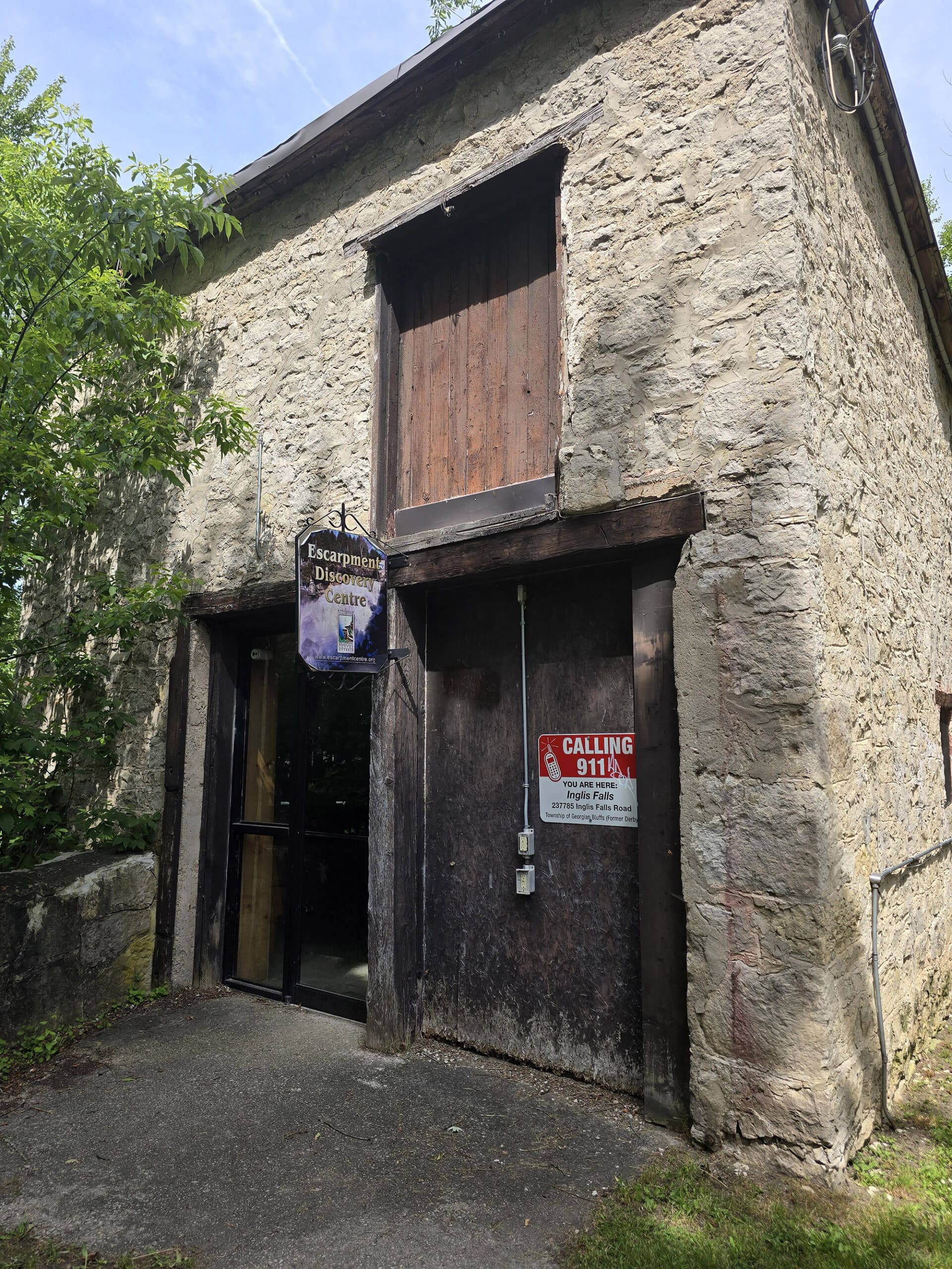
It seemed like a relatively new building, so I wonder if the other one ceased function, when this one opened?
Anyway, this building is basically a tourism information centre - brochures of local attractions, friendly staff who really know the area and are happy to answer whatever questions you may have, and a small gift shop.
Although we managed to miss it on the first trip, somehow (How much snow WAS there?), there’s also the Moreston Heritage Village on the same property.
Miscellaneous
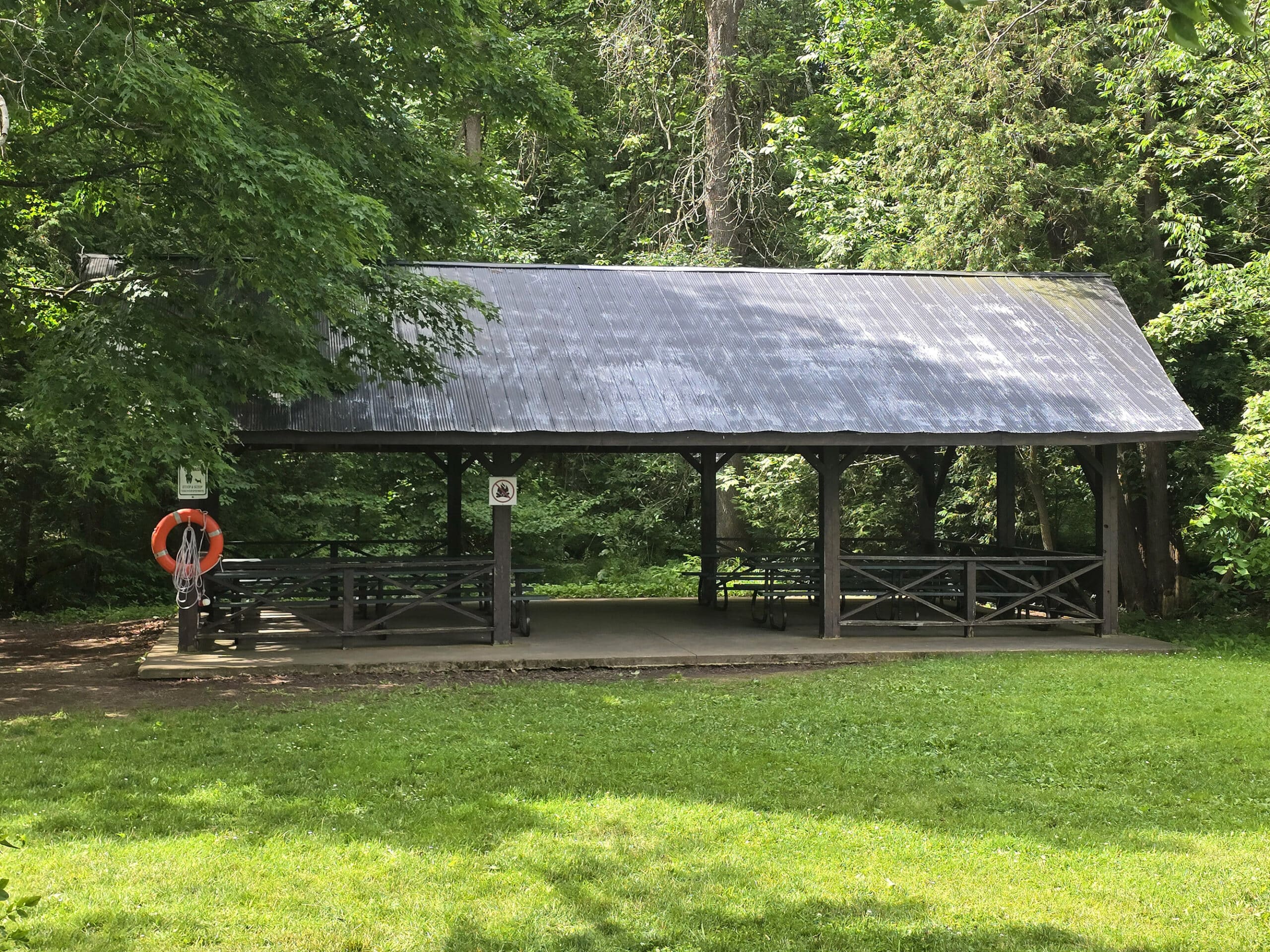
I didn’t notice much in the way of picnic facilities at the park, but there is a picnic pavilion available for rent.
It holds 63 people, and is anywhere from $60-150 per day, depending on the season. See Grey Sauble's Pavilion Rental Page for more details or to book.
Also, unrelated: There is NO access to the base of the falls. It sounds like this is a relatively recent development, but yeah - they REALLY don’t want people going down there!
Share the Love!If you’ve made one of our recipes, be sure to take some pics of your handiwork! If you post it to Bluesky, be sure to tag us - @2NerdsInATruck, or you can tag us on TikTok, if you’re posting video. We're also on Pinterest, so you can save all your favourite recipes and park reviews to your own boards! Also, be sure to subscribe to our free email newsletter, so you never miss out on any of our nonsense. Well, the published nonsense, anyway! |
Entertainment and Activity
We love how many things there are to see and do at Inglis Falls Conservation Area! Here are some of the details:
Inglis Falls Waterfall
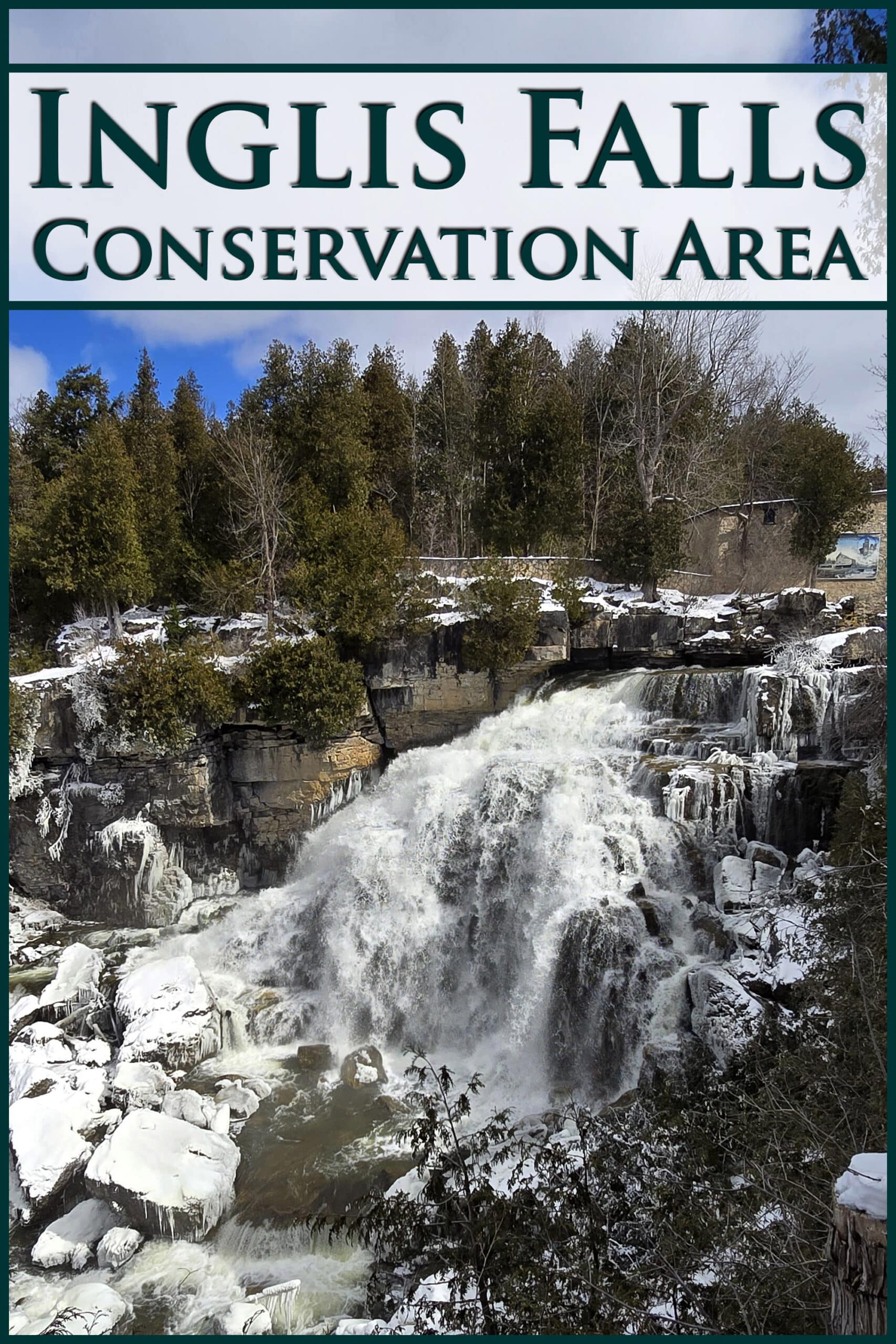
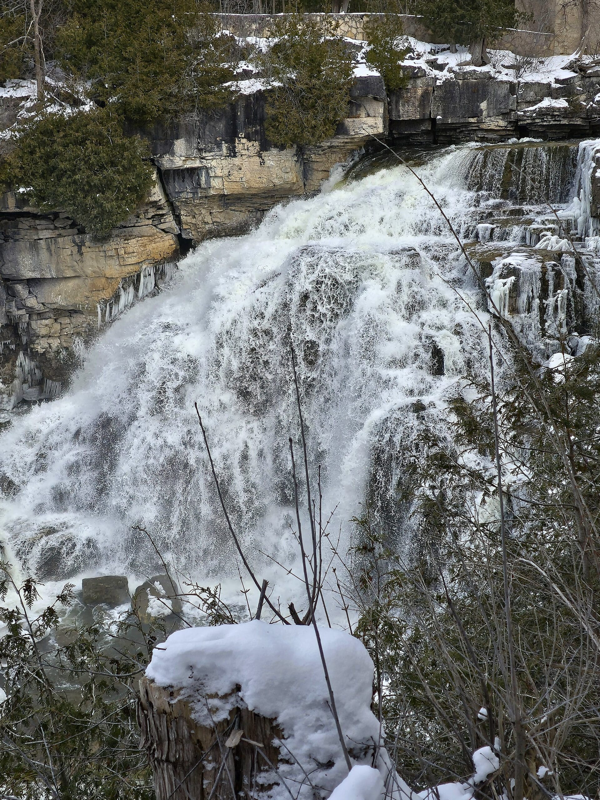
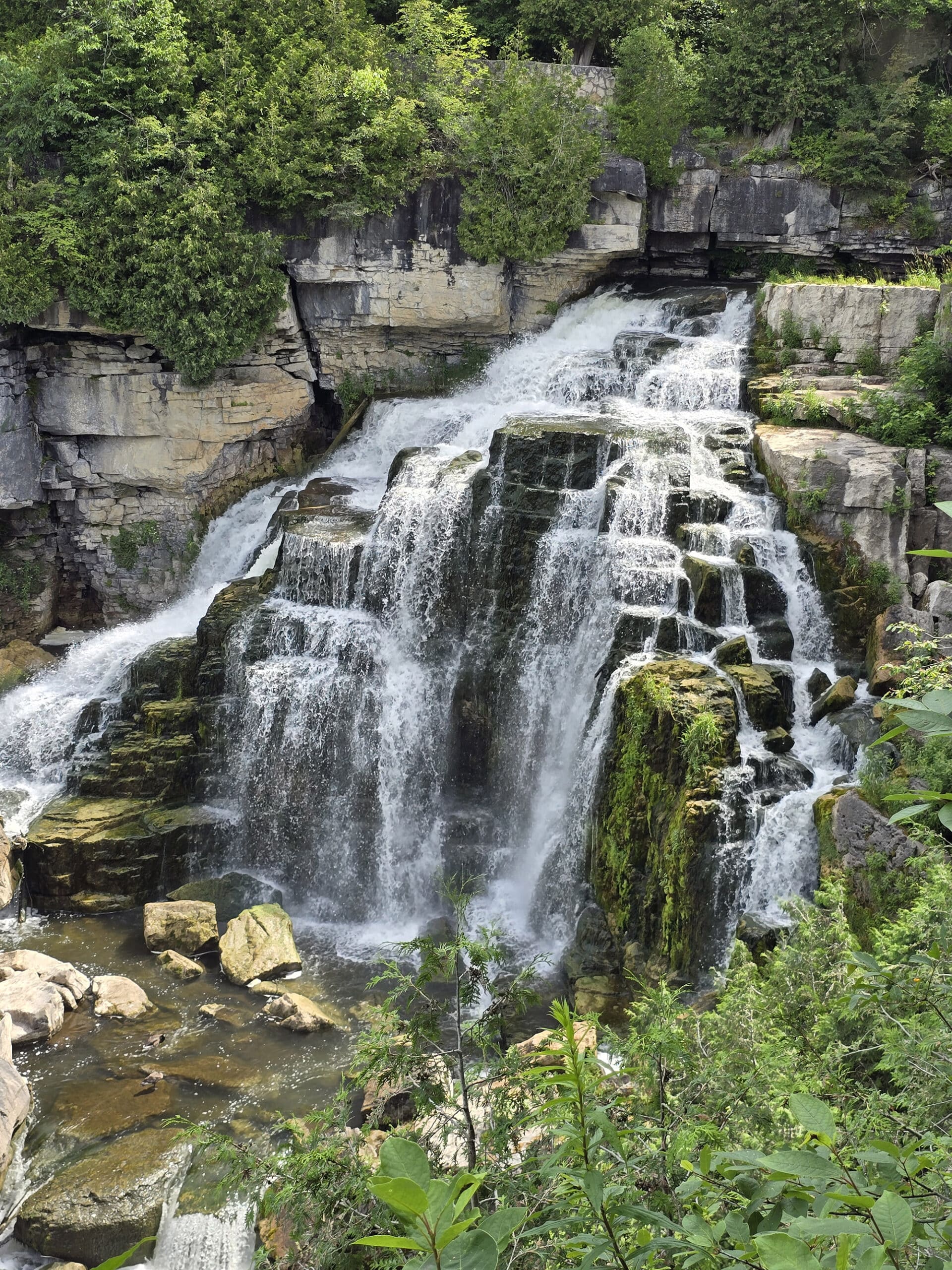
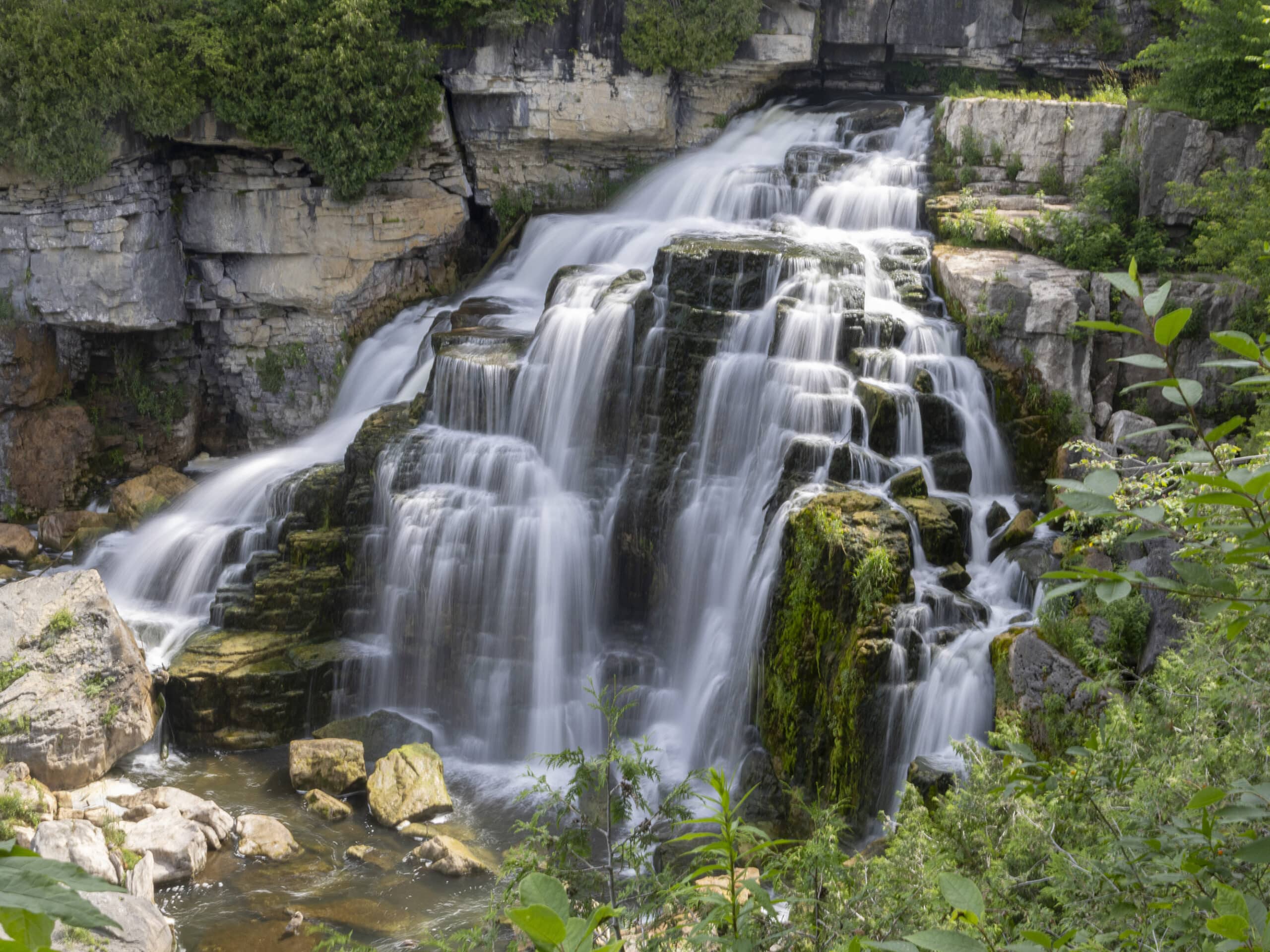
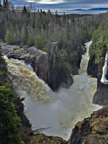
Inglis Falls is an 18 metre high, fan-type waterfall (or complex cascade, depending on who’s designating it!) on the Sydenham River.
The top of the falls is viewable right from the parking lot - we could actually hear it before we were even out of the car!
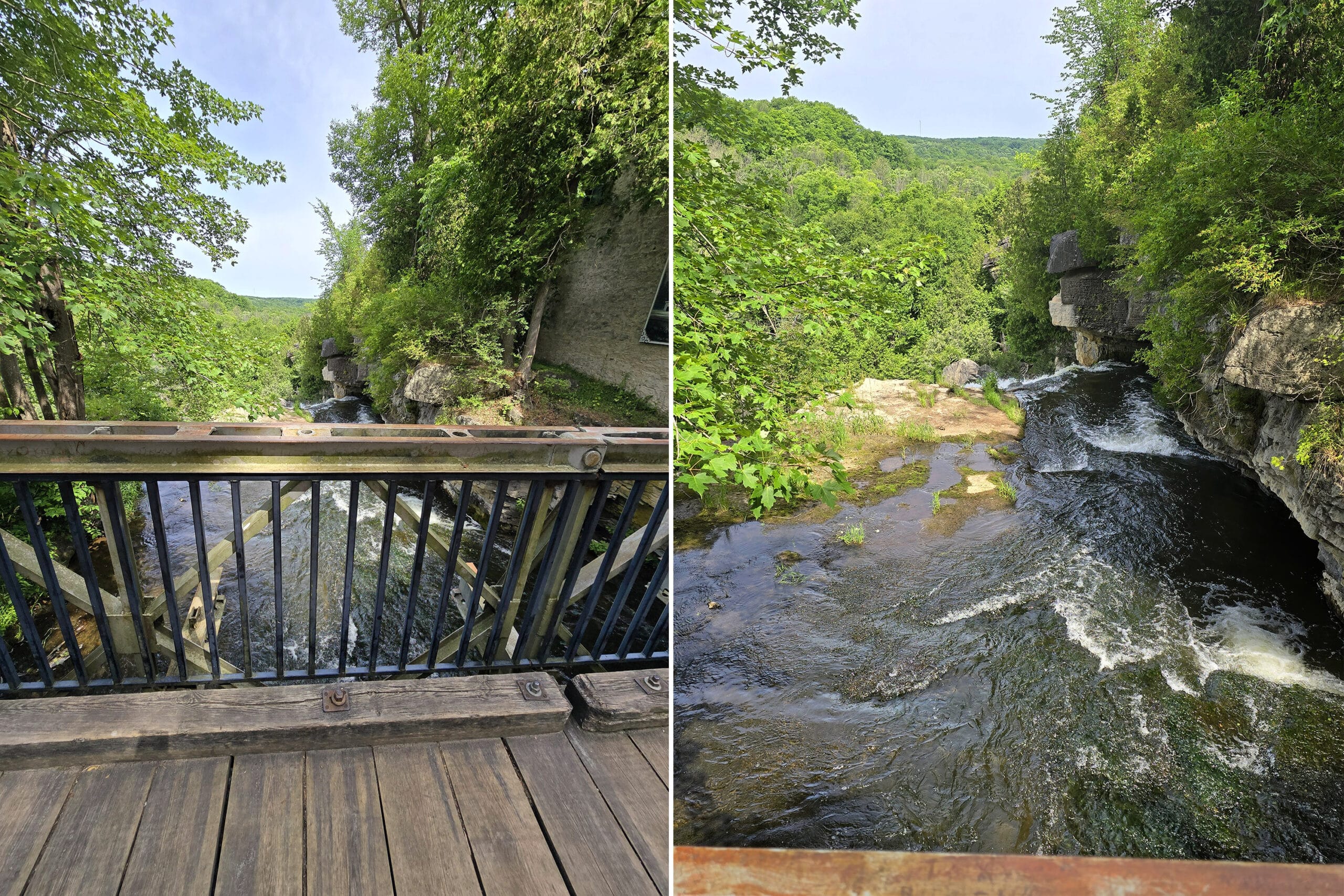
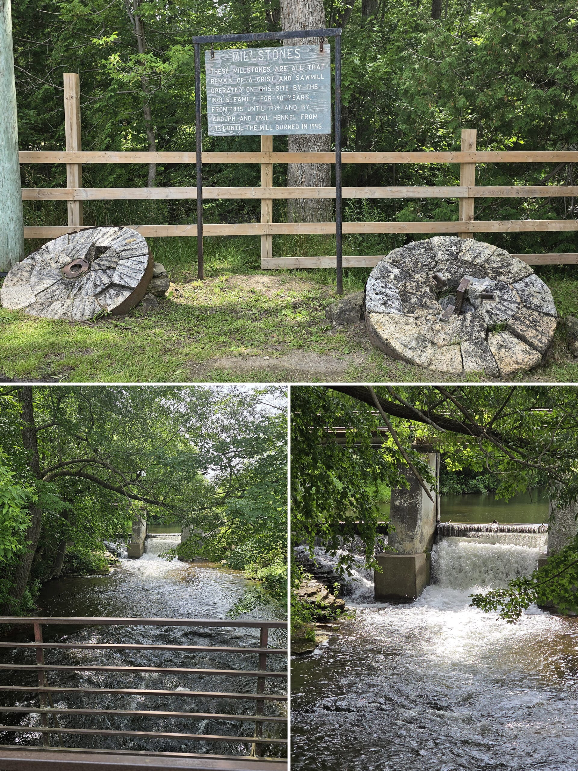
Above the falls, you’ll see a short road / bridge crossing them. Off to the right - upstream of the falls - is another small, manmade dam / falls.
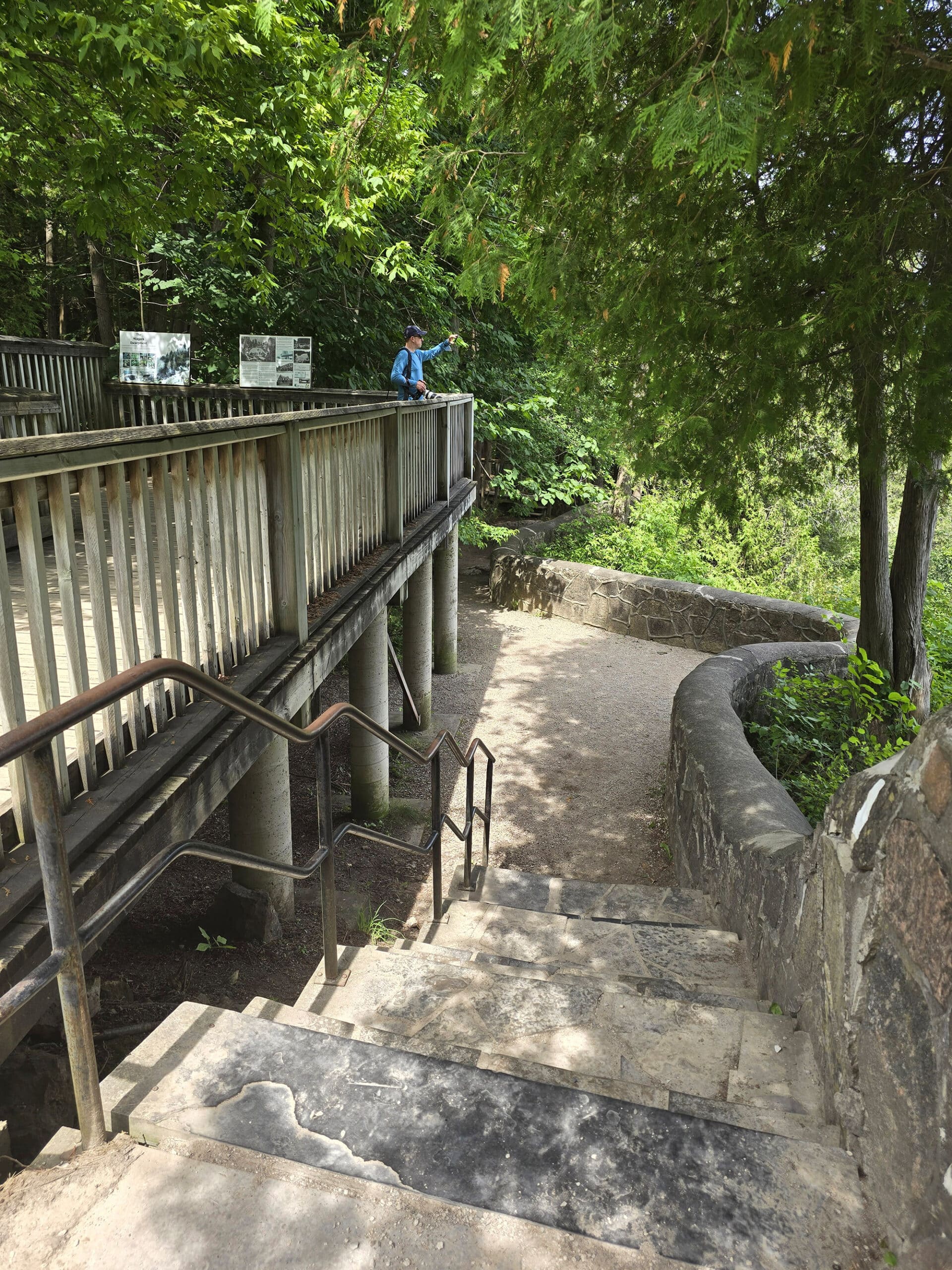
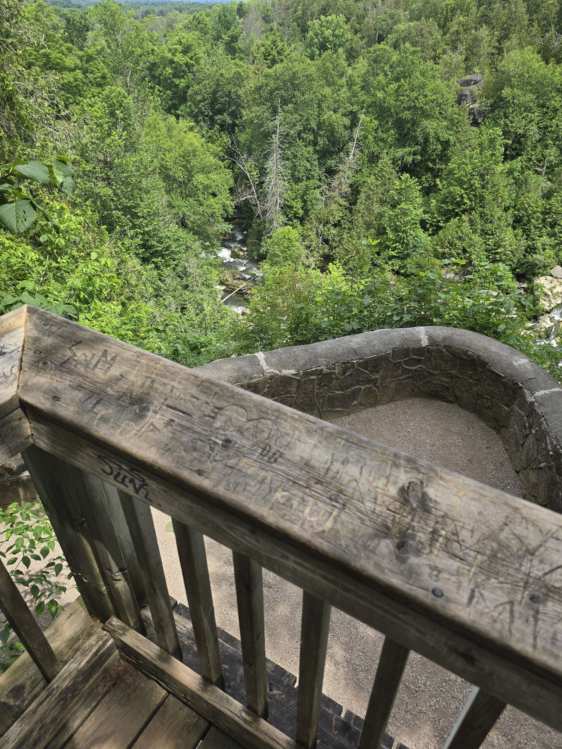
First, there’s a wooden platform with some signage about the history of the falls, the woolen mill that used to be situated there, and the surrounding area in general.
This deck overlooks the main viewing point of the park, a little outlook with a cute stone wall:
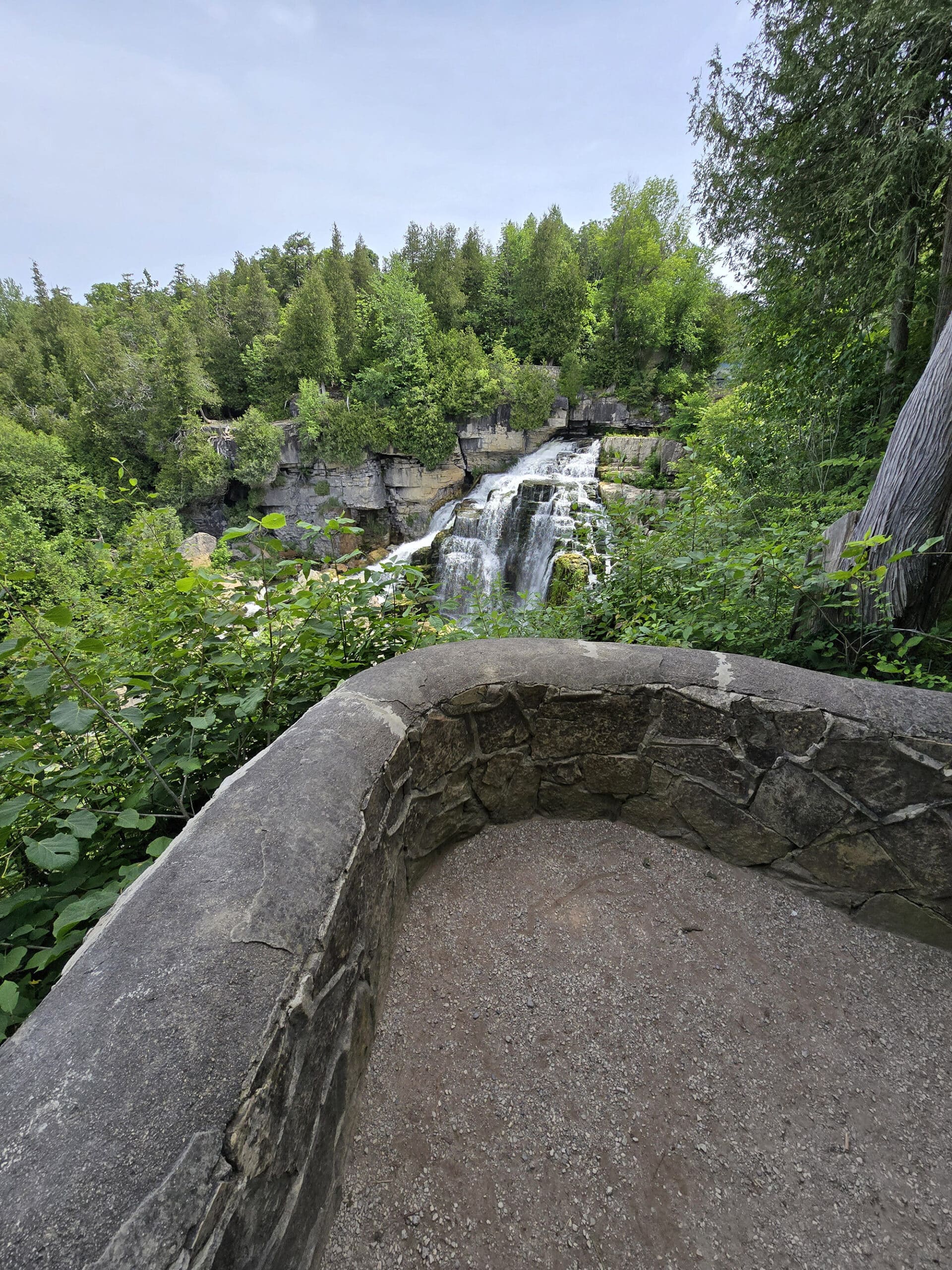
The stone wall viewing area is down a short flight of stone steps, and gives one of the best close-up views of the falls.
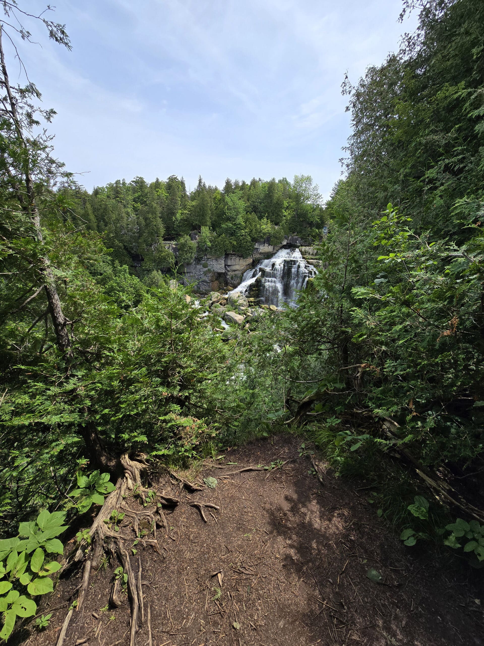
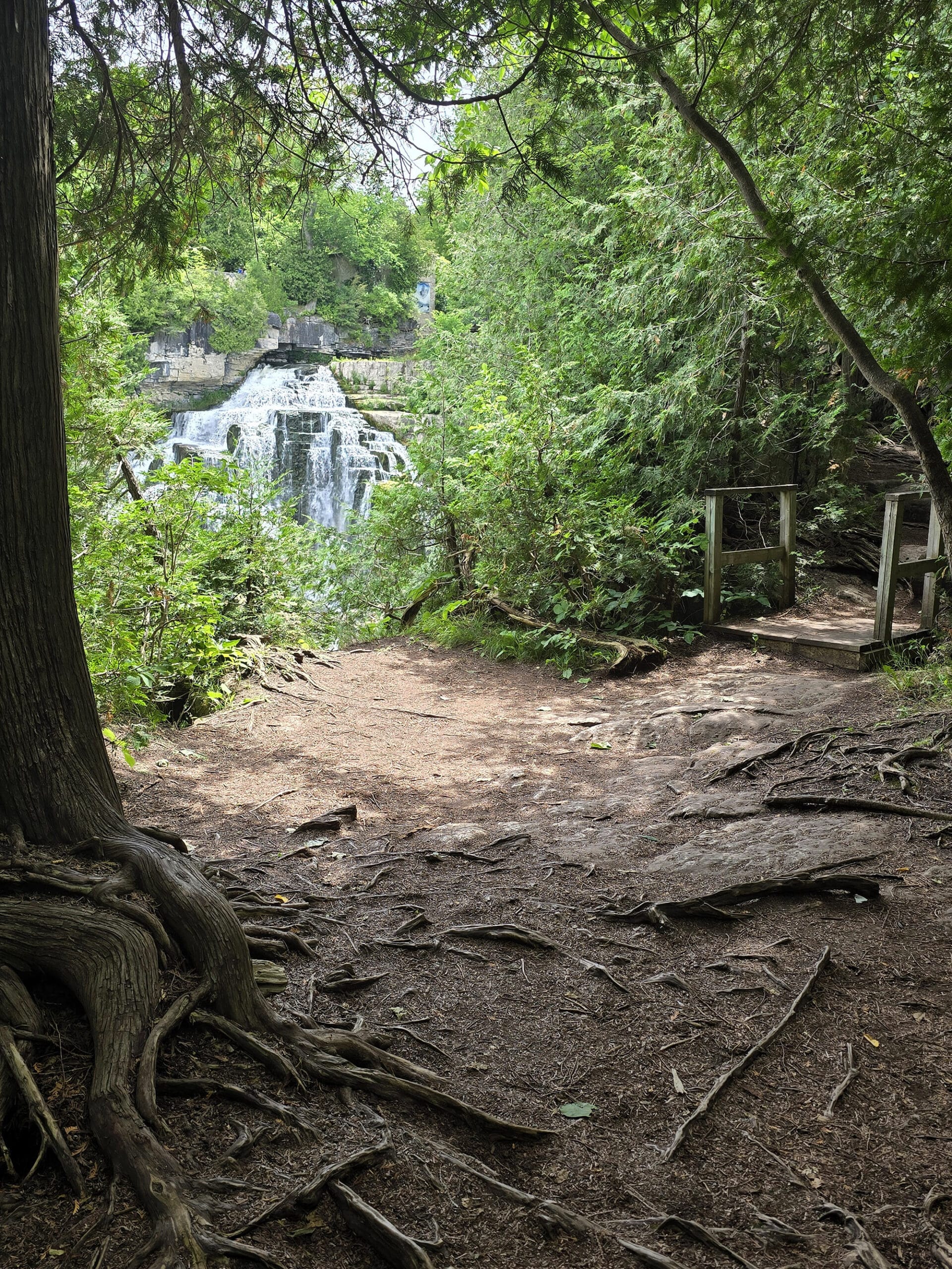
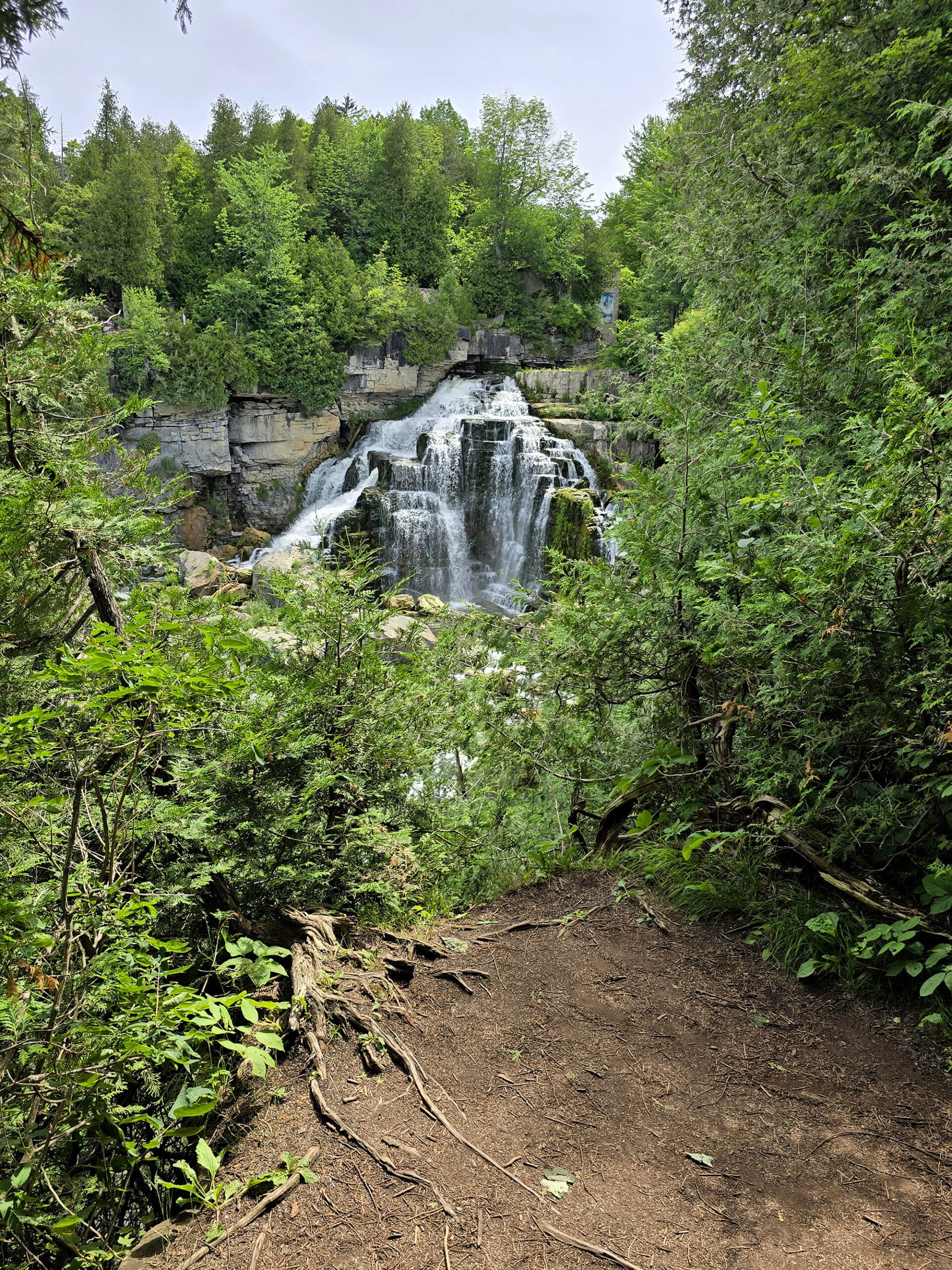
I’ll get into that more in the next section, but wanted to mention here that it’s on that trail where the most open, natural viewing areas are. No walls, just rocks and trees.
Absolutely gorgeous!
Note: access to the base of the waterfall is prohibited.
Hiking
Inglis Falls Conservation Area has over 14 km of trails of various difficulty, including part of one of the Bruce Trail side trails, and a short length of the Bruce Trail Main Trail.
I’m going to include the names, lengths, and colour designations of all the Inglis Falls Trails here, though we haven’t done them all.
I’ll update, as we get around to checking out more of the park, on future visits.
Note: All of the Bruce Side Trails are represented on the map as a dotted blue line. Also, trail colours are based on the physical map in the park, which does NOT line up with what’s on the website.
Arboretum Trail - 2.5 km (Dark Blue Trail)
This trail is accessed more directly from the Inglis Falls Arboretum, on the north end of the park. That said, you can get to it via the Hub Trail, which branches off the Pines Loop Trail in a couple spots.
Weirdly, this one is represented as the Brown Trail on the Conservation Area website.
Haven’t seen it yet, though!
Creamery Hill Side Trail - 0.9 km (Dotted Blue Trail)
This short trail is one of the Bruce Trail Side Trails, and branches off both the Main Bruce Trail and the Harrison Side Trail, in the North end of the park.
Haven’t see it yet.
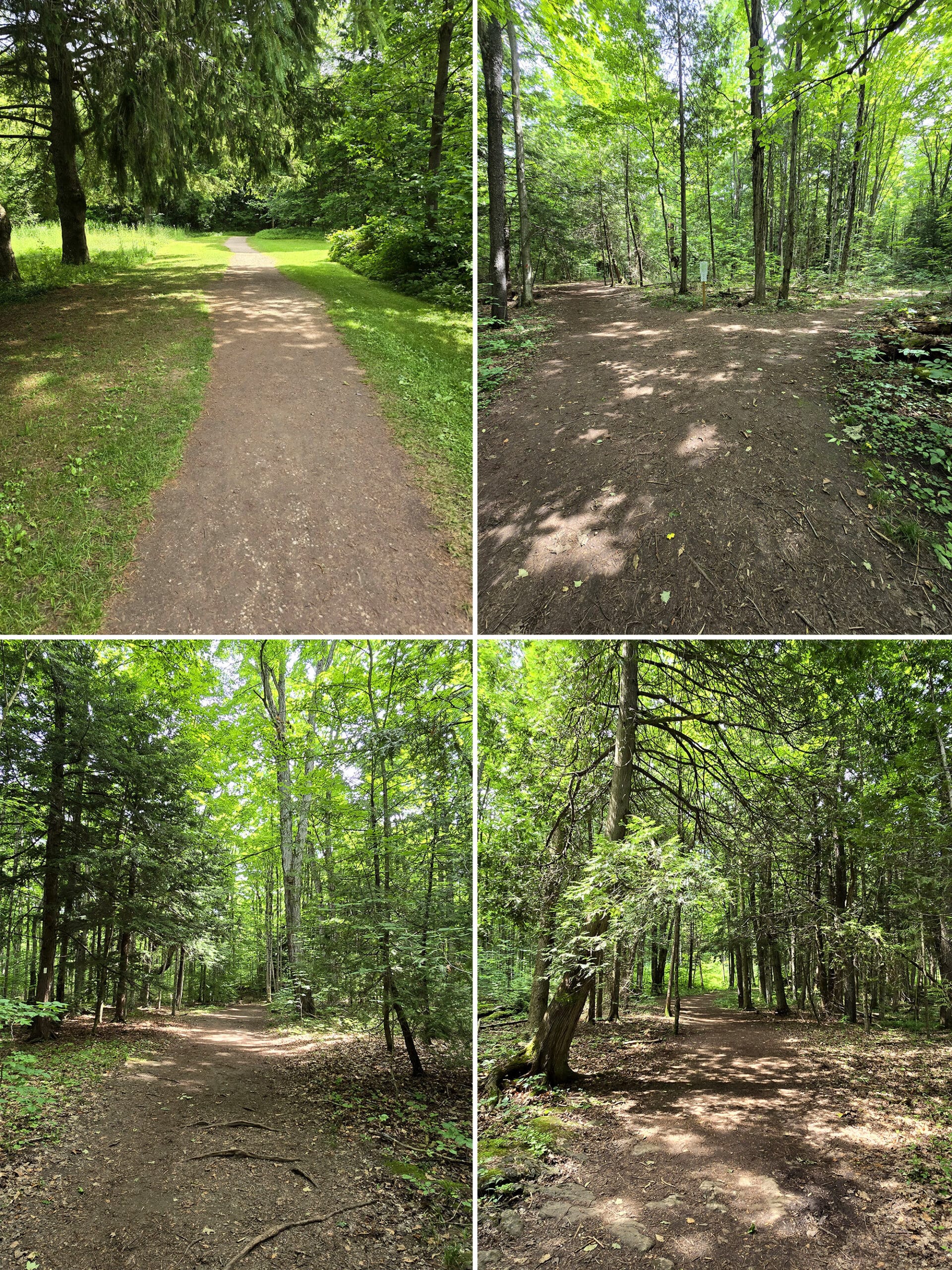
Glacial Potholes Trail - 0.2 km (Dotted Orange Trail)
Named for the series of geological potholes in the area, this is another one we haven’t seen yet! Very close to the parking lot, though.
Harrison Side Trail - 3.5 km (Dotted Blue Trail)
A Bruce Trail Side Trail, in the north end of the park. Most directly accessed via the Arboretum.
Hub Trail - 0.3 km (Red Trail)
Haven’t seen this one yet, so I’m going to leave the distance - as listed on the big park map - as-is, even though it makes no sense.
Depending on which map you’re looking at - there are HUGE discrepancies between the website and physical map in the park - it’s either a really short trail, or the main trail through the length of the park.
I’m assuming the park website is accurate, in this case...given the name.
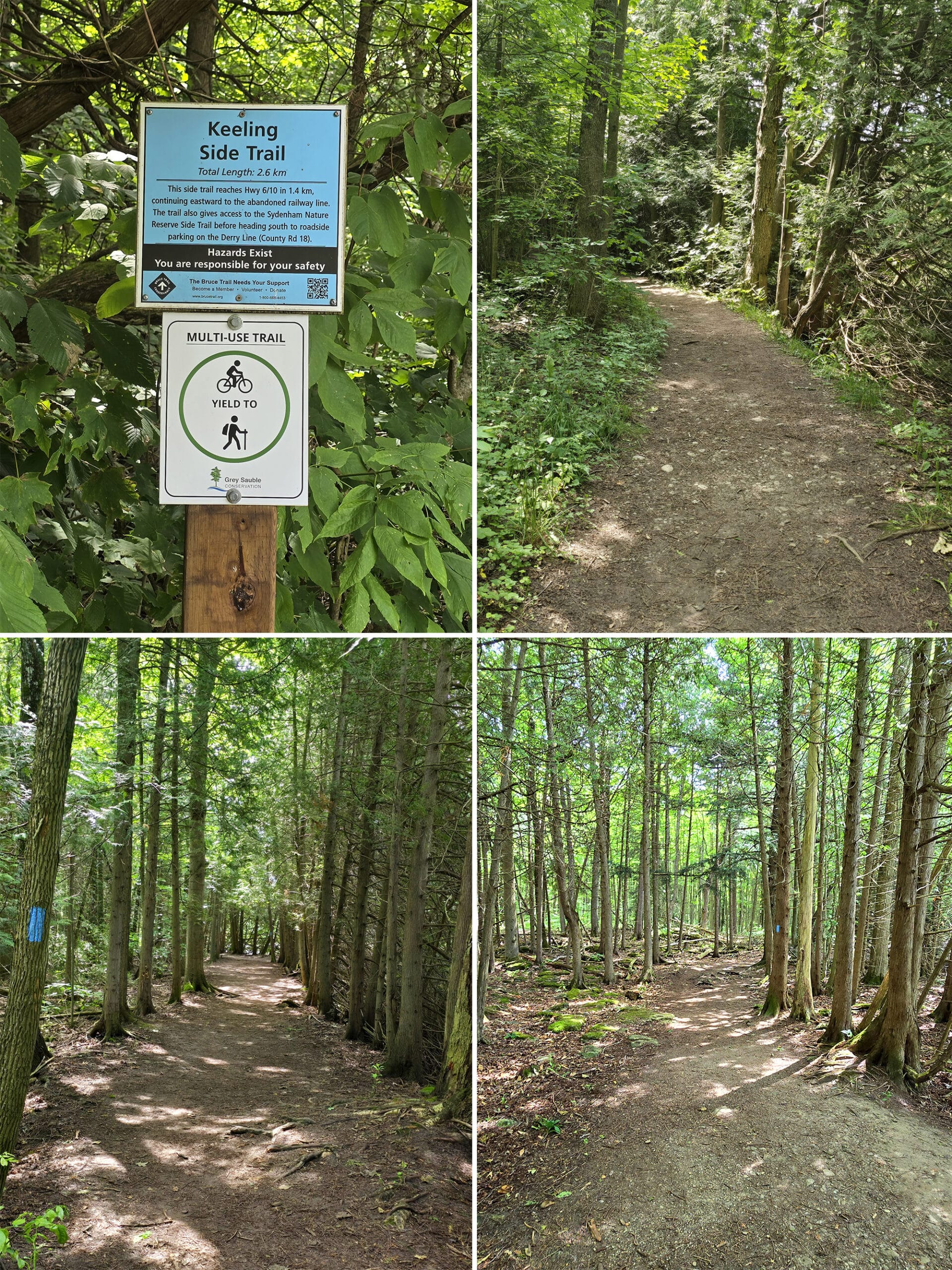
Keeling Side Trail - 2.6 km (Dotted Blue Trail)
This one starts to the right of the washroom building. It stretches along part of the pine loops trail, eastward to an abandoned trailway line.
Also: it has an access point for the Sydenham Nature Reserve Side Trail, and roadside parking on Derry Line (County Rd 18).
I didn’t do the full trail - I was actually exploring up there, trying to find a bridge I’d seen off in the distance from near the dam. As it turns out, that was over on the Water Filtration Trail.
Anyway, a nice walk through the woods. Mostly flat, some nice views of Sydenham River.
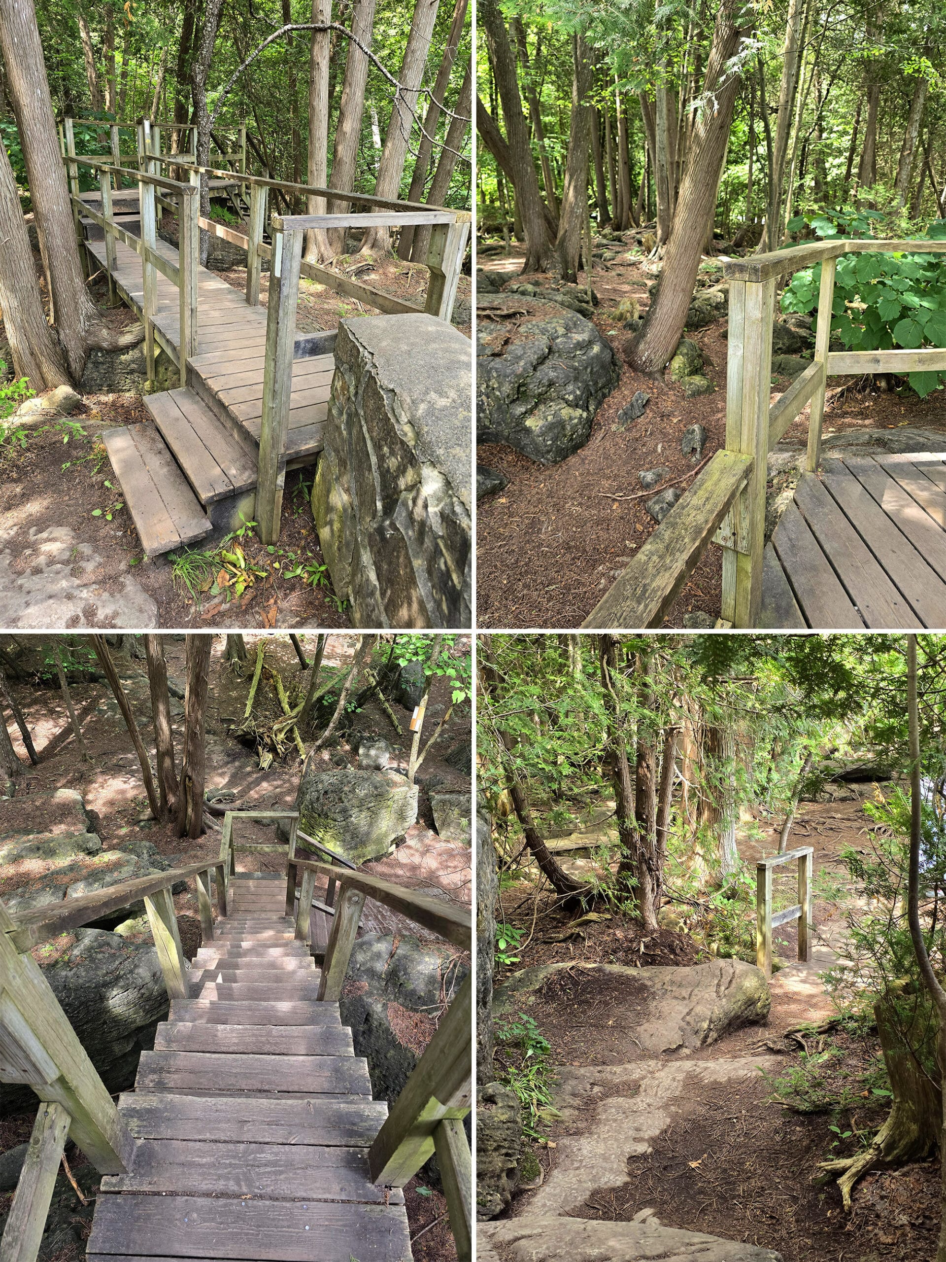
Main Trail - 2.6 km (Dotted Blue Trail)
This is our absolute favourite part of the park, but it’s also the most difficult terrain - at least of the trails we’ve seen so far.
It starts out with a wooden staircase structure near the falls, taking you down over some large boulders.
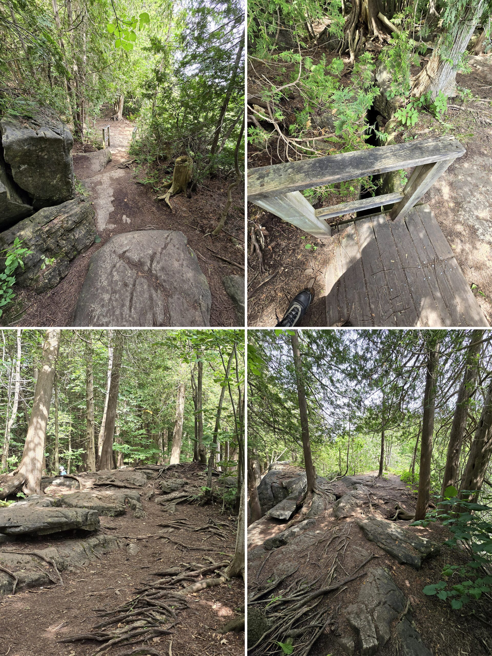
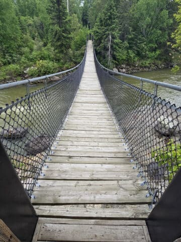
Almost immediately, you come to some interesting terrain - a small footbridge over a deep chasm, tree roots, etc
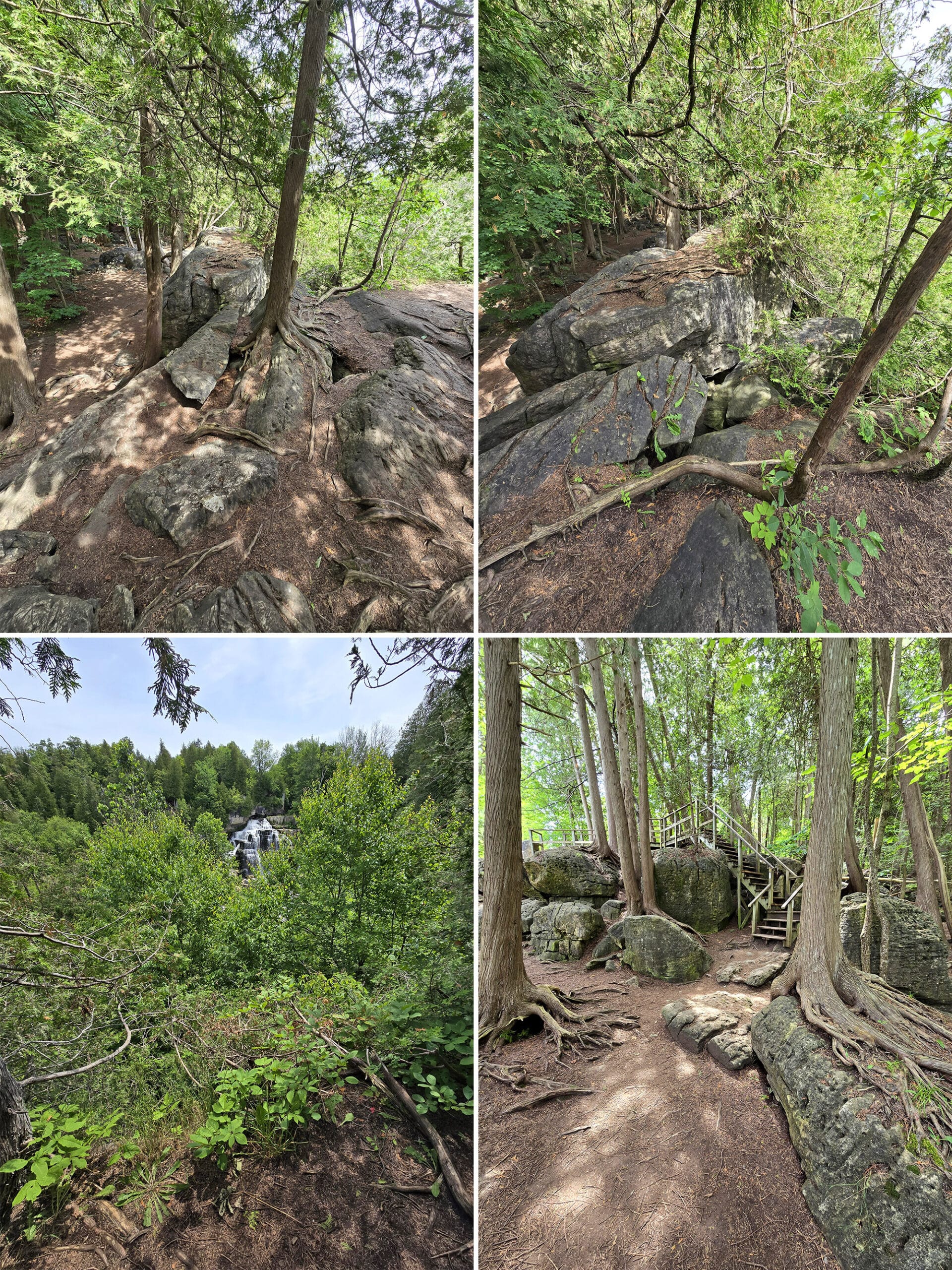
Sometimes, this involves walking out onto boulders. There are no guard rails or anything, so just be careful - it’s all done at your own risk.
Anyway, all around, a gorgeous walk - whether summer or winter!
Pines Loop Trail - 2.9 km (Yellow Trail)
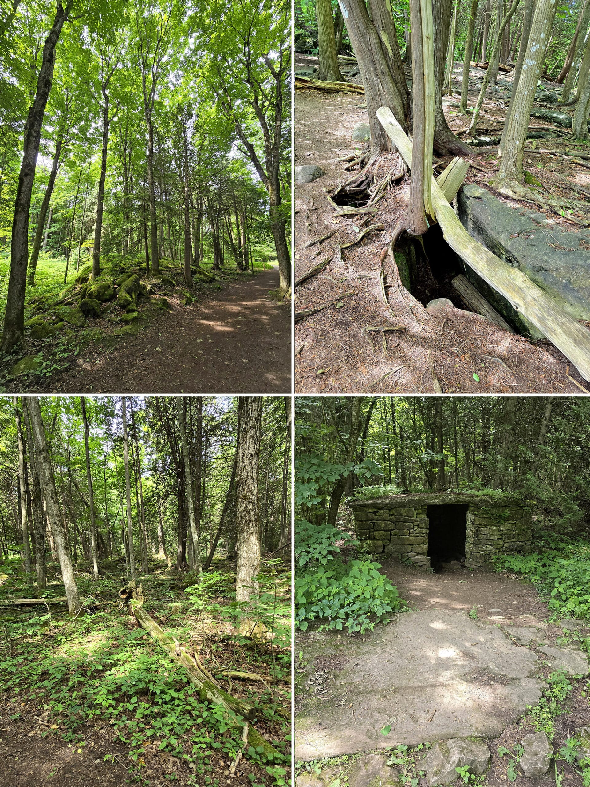
This one is wide, mostly flat. Probably not wheelchair accessible, but should be ok with a boot or cane.
A fairly basic walk through the woods, but a nice one. Tall trees everywhere, mossy rocks, something that I THINK was a karst, and a ton of birds singing in the trees.
Salmon Trail - 0.2 km (Pink Trail)
A short out-and-back trail, off the Arboretum Trail. Haven’t seen it yet!
Snowshoe Trail - 0.6 km (Orange Trail)
A winter-only trail for snowshoeing, this one is up in the Arboretum area. Haven’t seen it yet
Water Filtration Plant Trail - 0.5 km (Dotted Pink Trail)
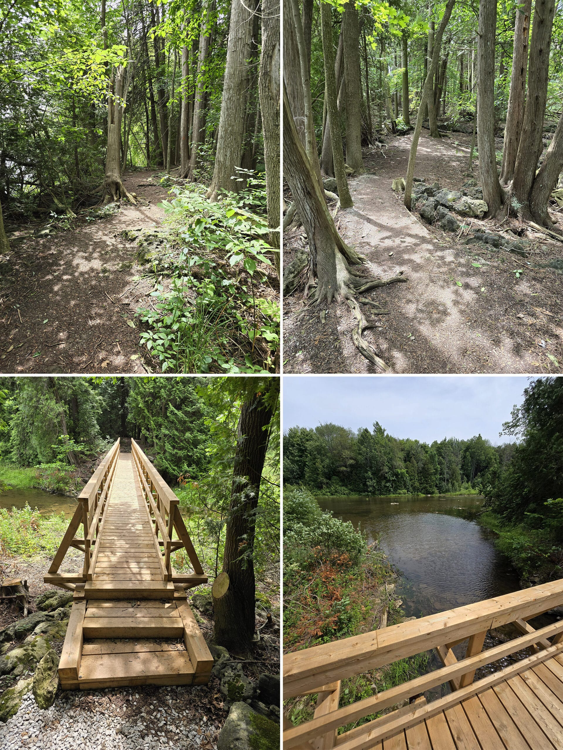
This one was a bit hard to find - there wasn’t any real signage in the area, so far as we could see.
The trail access for this one is behind the picnic shelter (as you’re looking at it from the parking lot), and to the left.
Another nice little walk through the woods. Not wheelchair friendly, but an easy trail overall. Some roots, not entirely flat, but also not super strenuous.
You’ll quickly come to a cute little bridge over a little offshoot of the Sydenham River. Some nice views in general, not really anything to write home about... but then again, we might have screwed ourselves by seeing the Bruce Trail section first!
Everything else kind of pales in comparison, you know?
Birding, Wildlife, and Nature
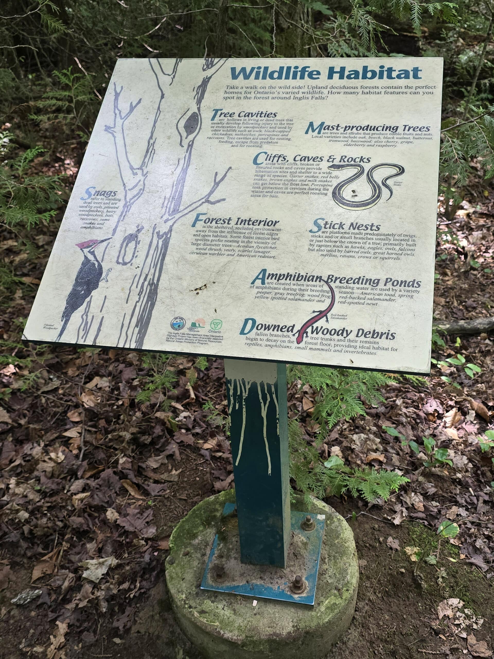
So, one of our visits - the winter one - was before we got into birding, so all I can tell you is that I recognized some cardinals and Chickadees.
Almost everything I knew about bird identification at that point, I learned from Hinterland Who’s Who, LOL.
Our second trip was after the spring migration - and before fall migration, but we still saw and heard a variety of birds.
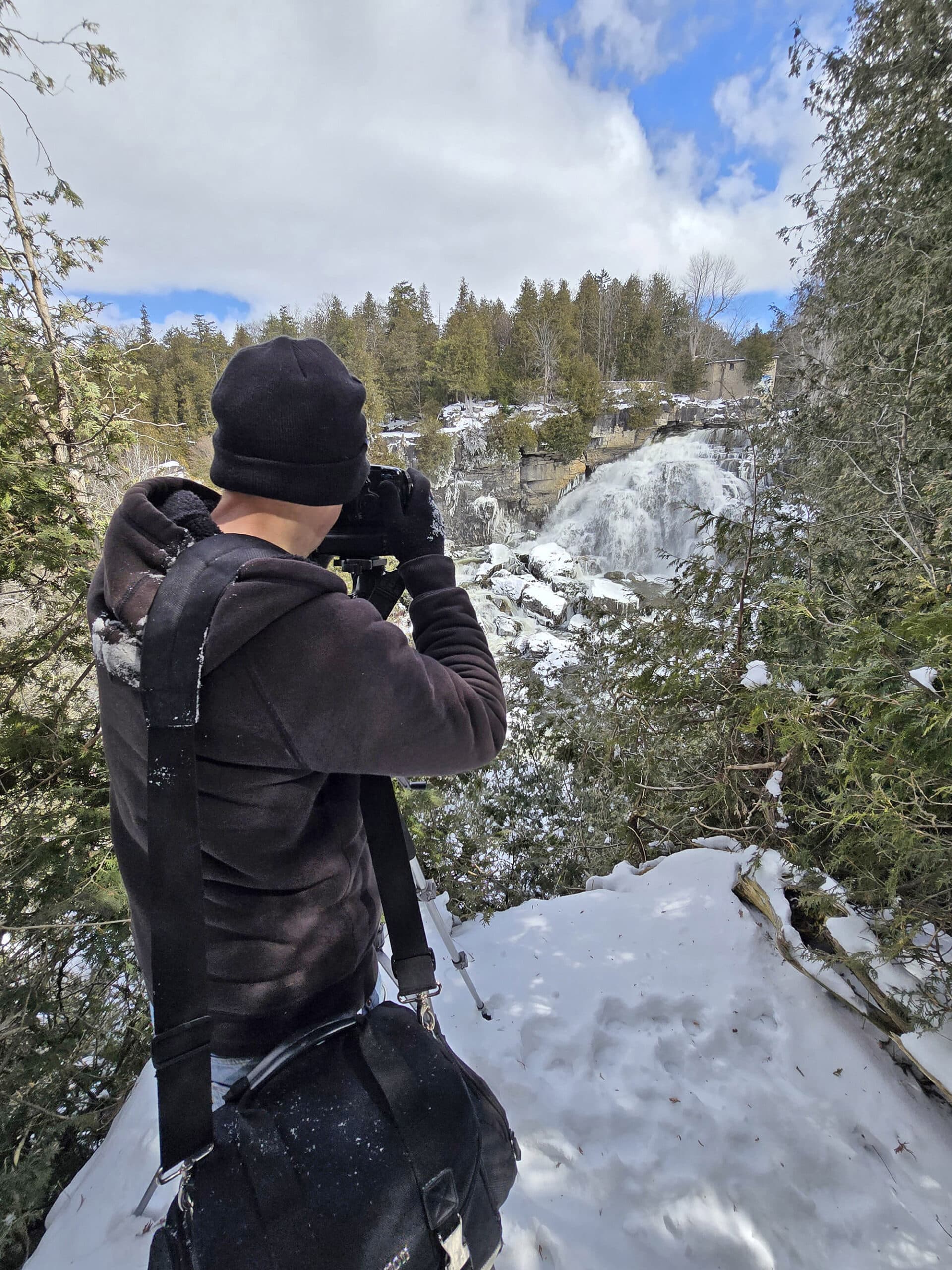
Porter was busy playing with using his camera filters on the waterfall, so I went out birding by myself.
I either saw or heard:
Black-Throated Green Warbler
Red-Eye Vireo
White-Breasted Nuthatch
Yellow-Rumped Warbler
... but as the one with just a cell phone, I didn’t get any photos worth sharing. Next time?
Anyway, beyond the birds, apparently there are over 20 species of ferns within Inglis Falls Conservation Area, but honestly... I don’t know enough about ferns to definitively tell one from the other!
Photography
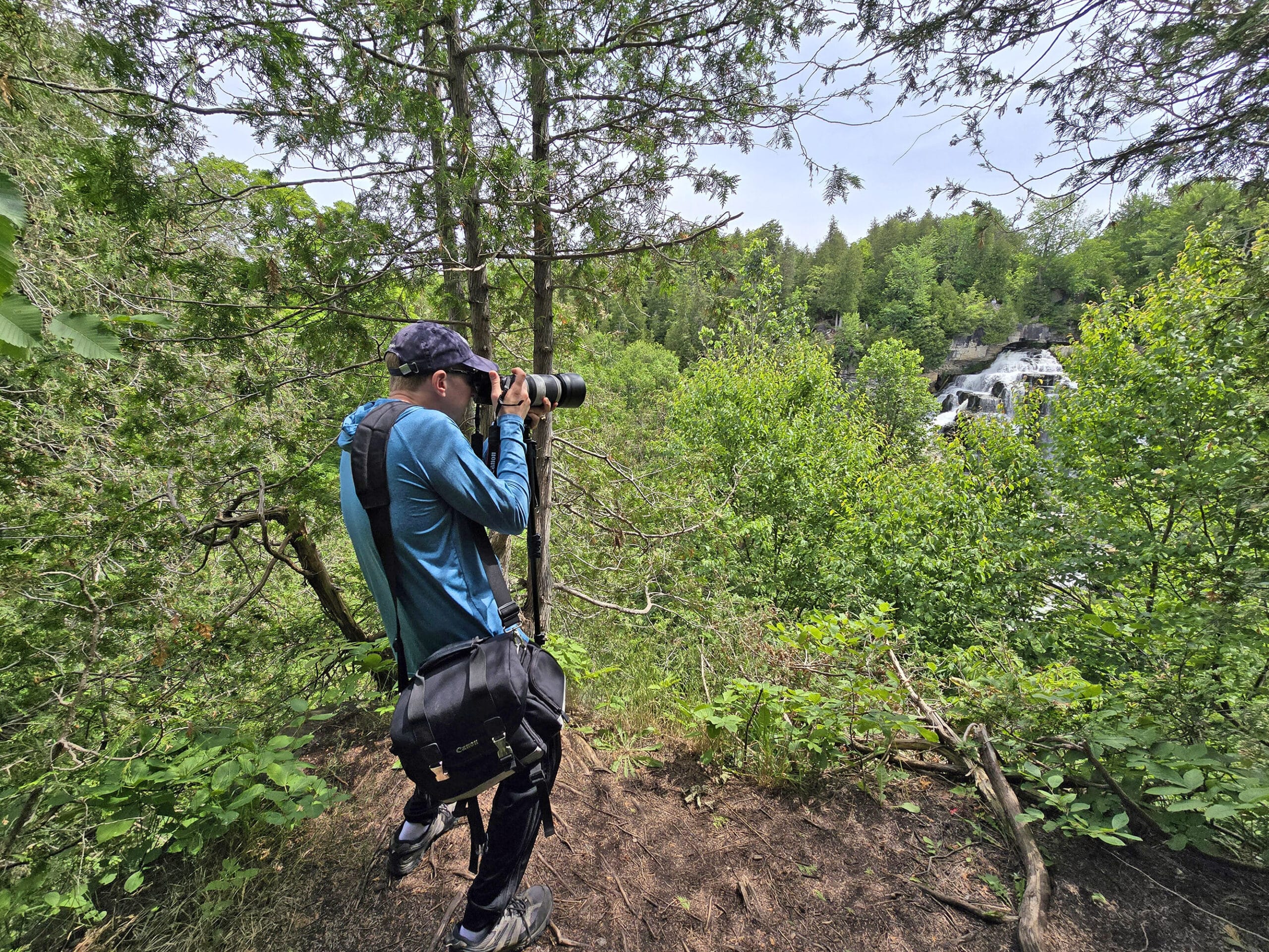
Between the beautiful waterfall itself, the gorgeous trails, the birding, and everything? This park is a fantastic place for photographers, any time of year.
As a heads up: on a clear day during the busy season, it can be a bit difficult to get one of the little clearings with a great view of the falls.
It’s REALLY popular for engagement shots, Instragrammers, etc. So, plan ahead, get there early, and have a backup plan!
Biking
Biking is permitted on the Arboretum Trail and the Pines Loop Trail.
Niantic Games
There are several portals / Pokestops /gyms around the falls, a few more on trails, and generally enough cell phone coverage to play.
Winter Activities
Inglis Falls Conservation Area is year round, with a slight change to the available activities in the winter months.
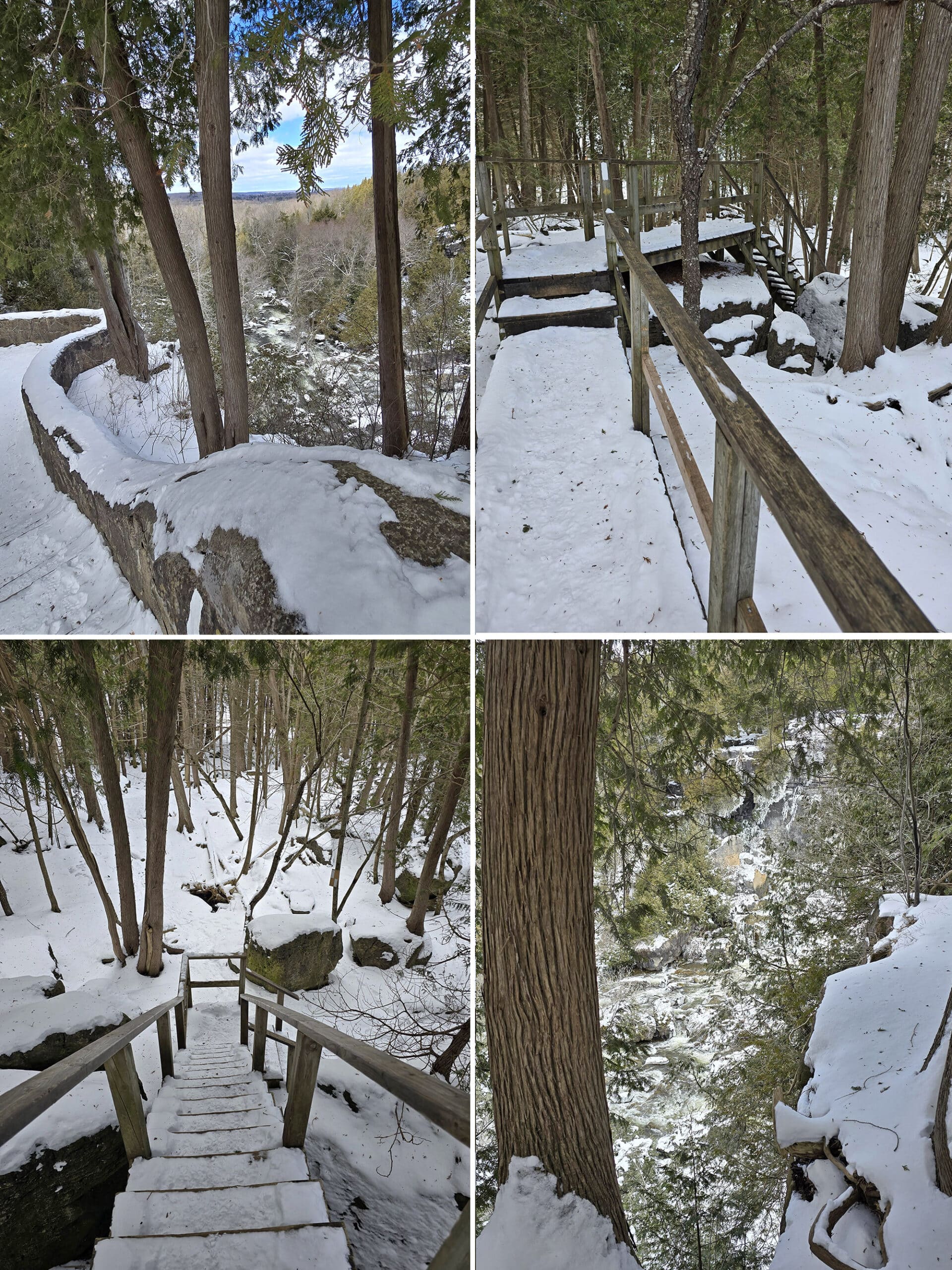
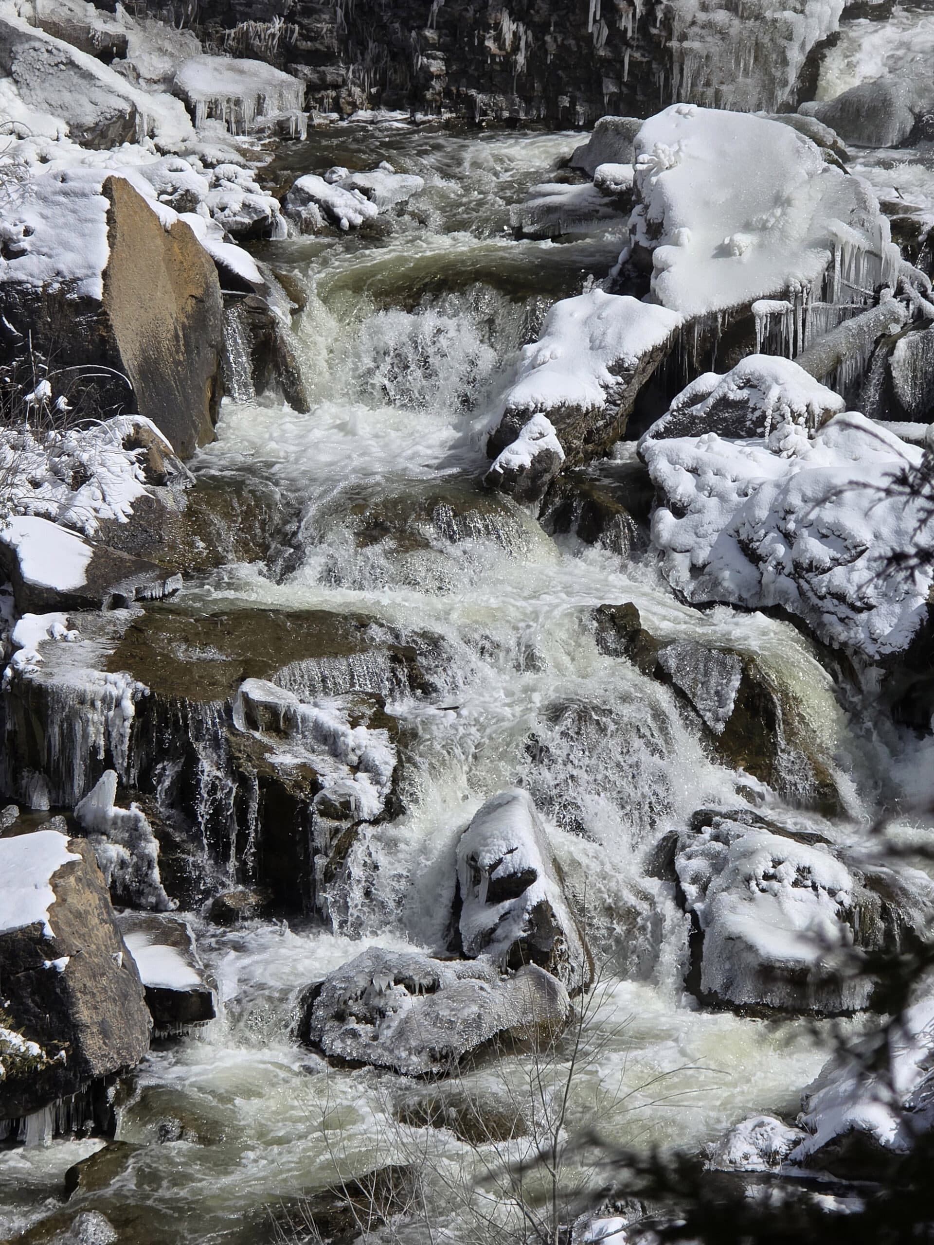
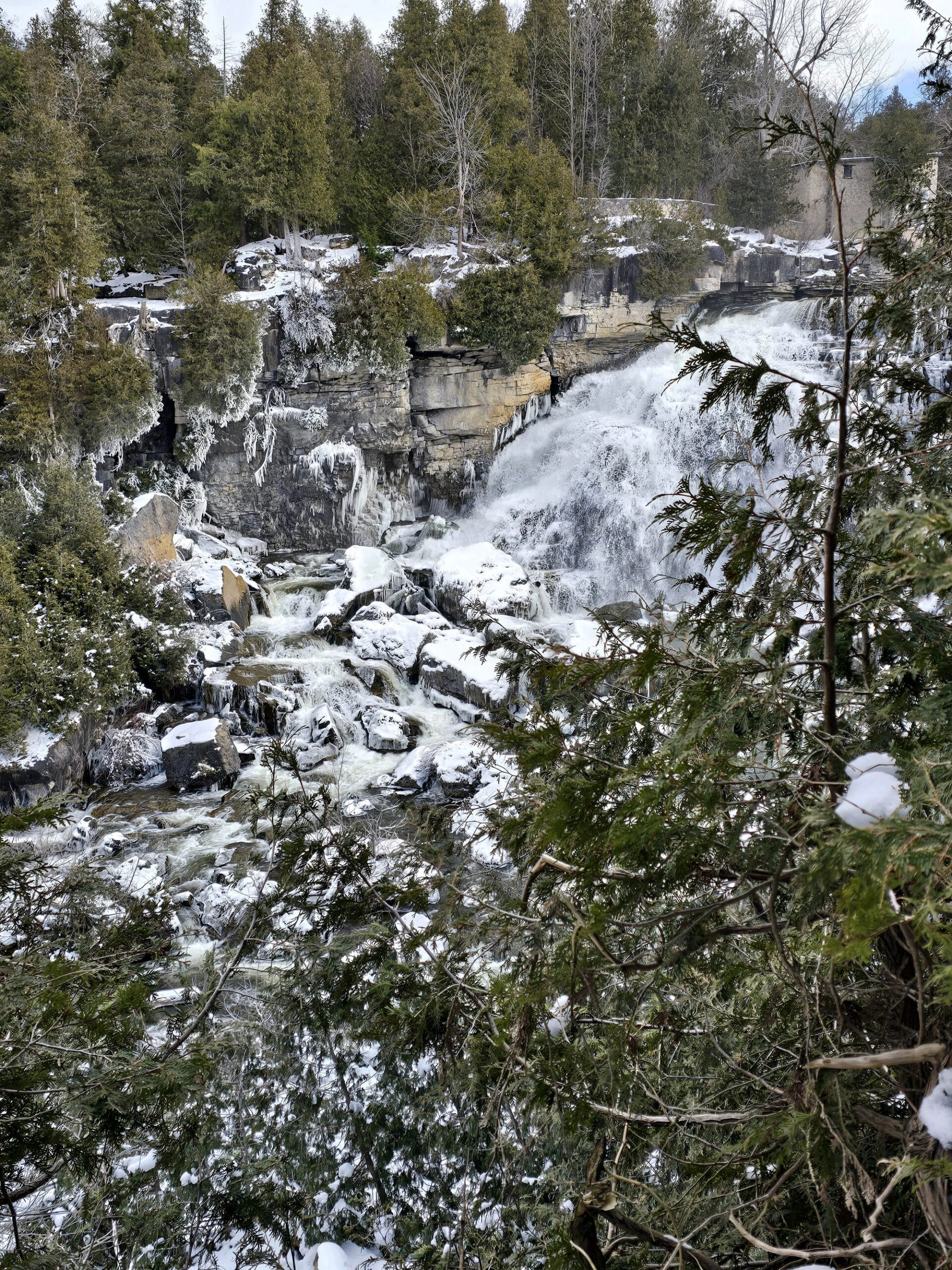
For one, the winter hiking is gorgeous, especially on the little section of the Bruce Trail that goes down the left side of the falls, when walking from the parking lot.
You can get good views of the iced-over falls from the main viewing platform, or walk down to the natural viewing areas, along the edge of the cliff.
Just be careful - snow cover can obscure some of the crevices that you’ll need to navigate around, to get to those viewing areas.
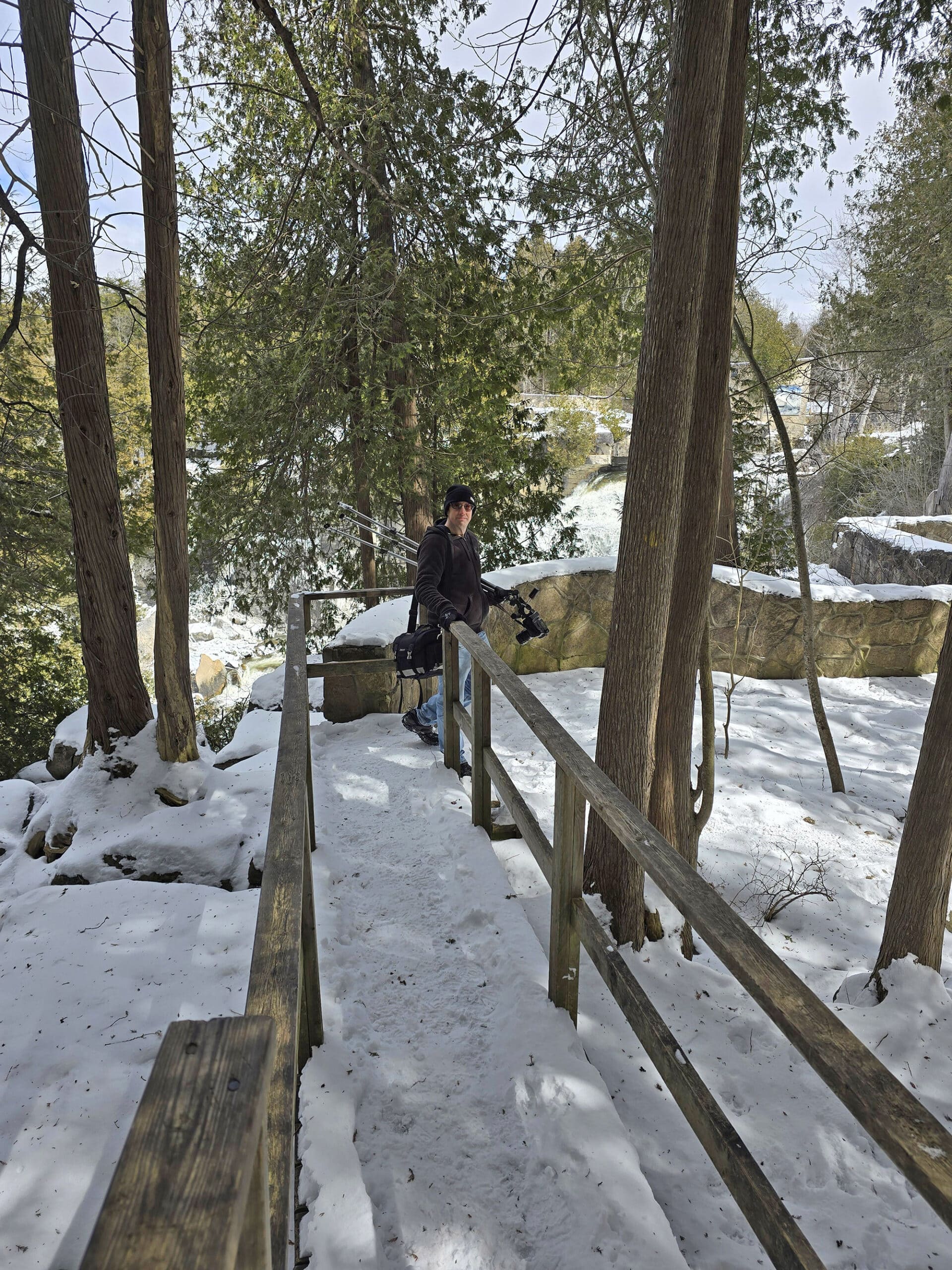
We haven’t participated in either there, but it sounds like the trails are ungroomed ones. (The area we went to in the winter doesn’t seem like a great section for either, given the terrain.
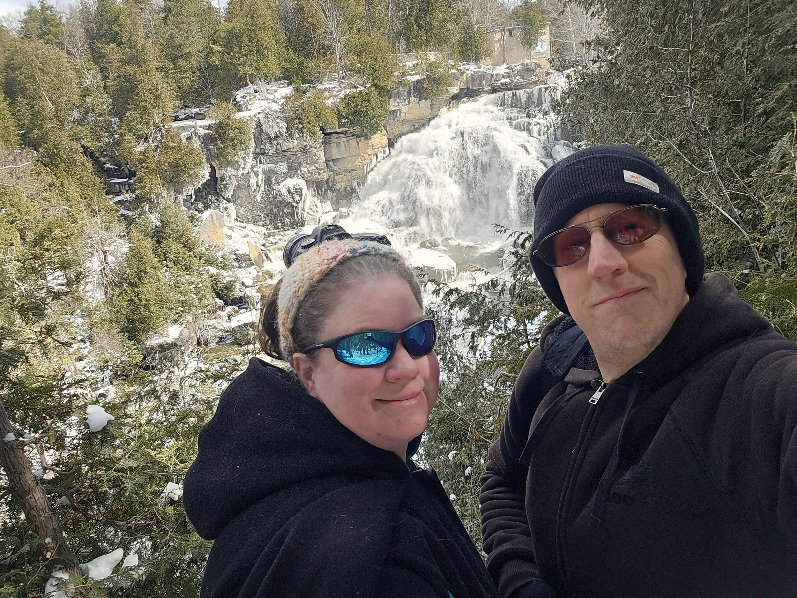
Final Thoughts
Overall, this is one of our favourite little day-use type parks.
The walks are great, and the falls are gorgeous - obviously!
We particularly love exploring the edge of the Niagara Escarpment, overlooking the deep gorge below. All those weird trees, big rock formations, crevices, and lookout points are just fun to play around in.
Beyond that, there’s just a lot of cool things to look at and experience in the area, so it’s well worth the short drive from Meaford, for us.
SO, if you’re ever near the city of Owen Sound, be sure to check it out!
More Ontario Waterfall Posts
Looking to waterfalling in Ontario? Here are more Ontario Waterfalls to check out:
Aguasabon Falls
Chippewa Falls
Eugenia Falls
Falls Reserve Conservation Area
Gariepy Creek Falls
Healey Falls
Hogg's Falls
Indian Falls Conservation Area
Jones Falls [Pottawatomi Conservation Area]
Kakabeka Falls
Mink Creek Falls
Onaping Falls
Oxtongue River-Ragged Falls Provincial Park
Provoking Falls
Rainbow Falls
Sand River Falls
Sauble Falls
Scenic High Falls
Walter's Falls
Webwood Falls
Beyond the waterfalls, be sure to check out our Places to See category, to find more interesting Ontario places to explore!
Thanks for Reading!If you loved this post - or have any questions about it - please leave a comment below! We'd also love it if you would consider sharing the link on social media! |



Leave a Reply