Falls Reserve Conservation Area is a gorgeous little park near Goderich, with an AMAZING set of waterfalls you can play in! Here's what you need to know!
With our recent stay at Point Farms Provincial Park , we were finally able to check them both off the list!
This 230 acre park provides a beautiful natural setting, and touts itself as being a natural outdoor playground.
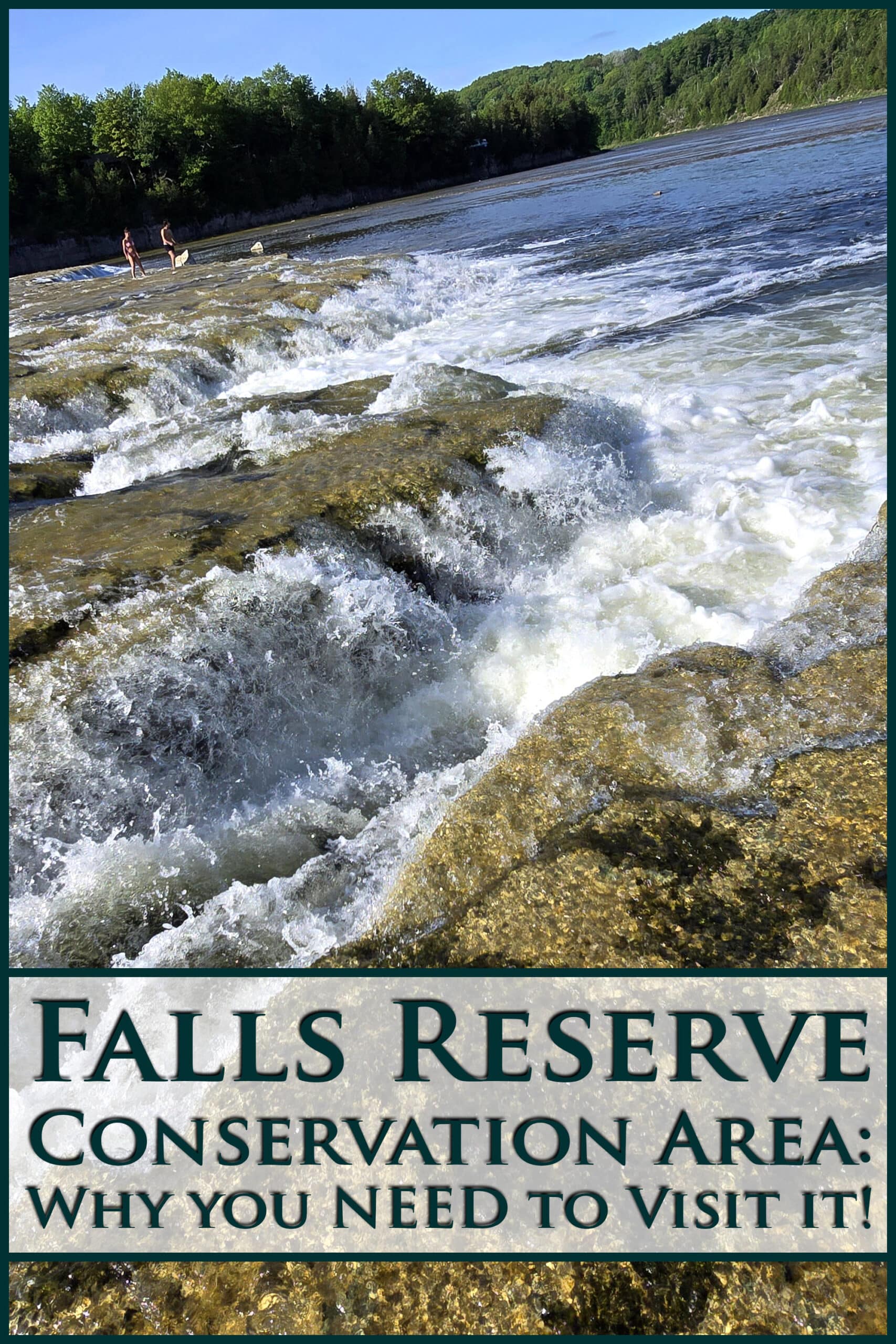
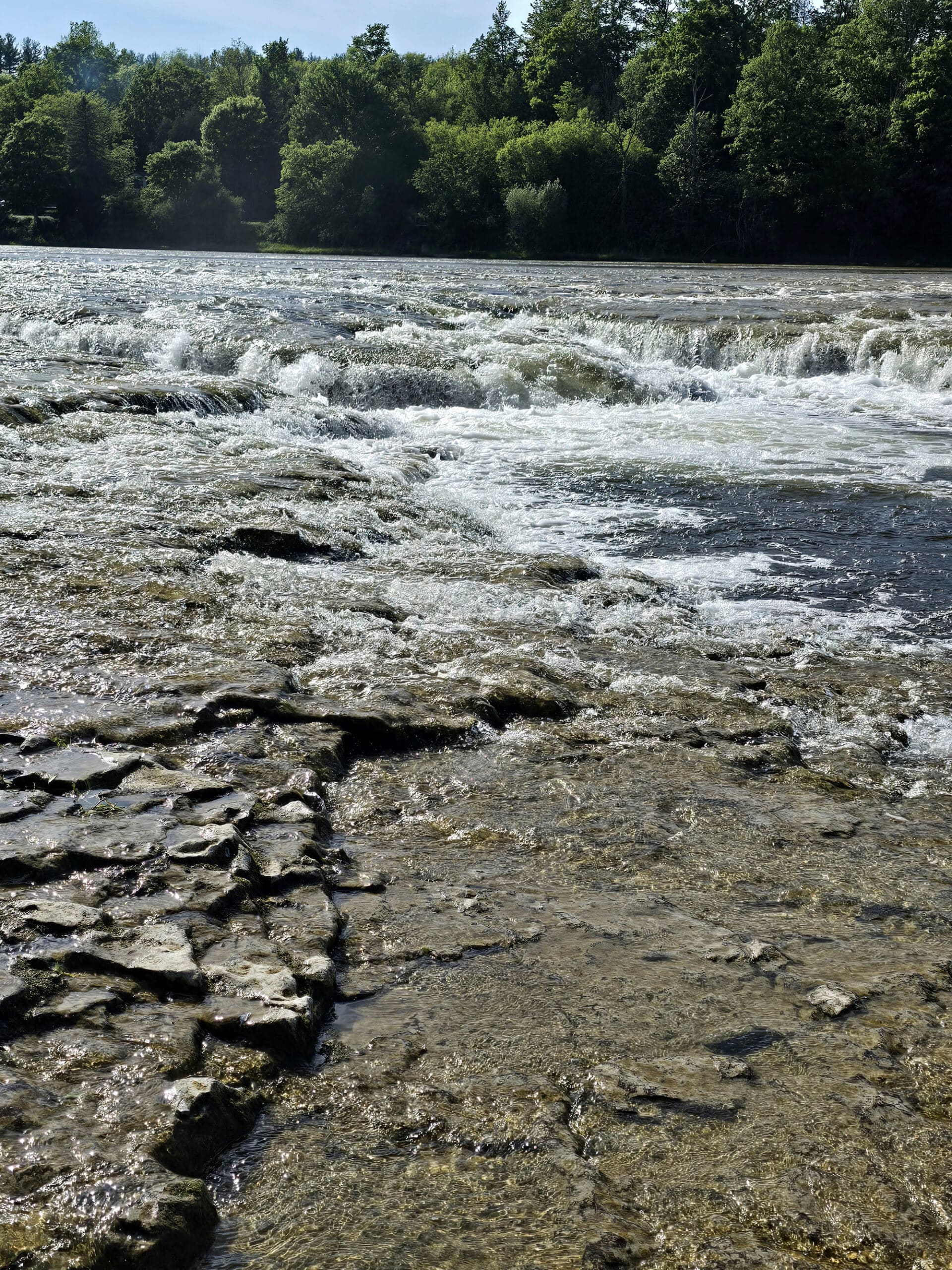
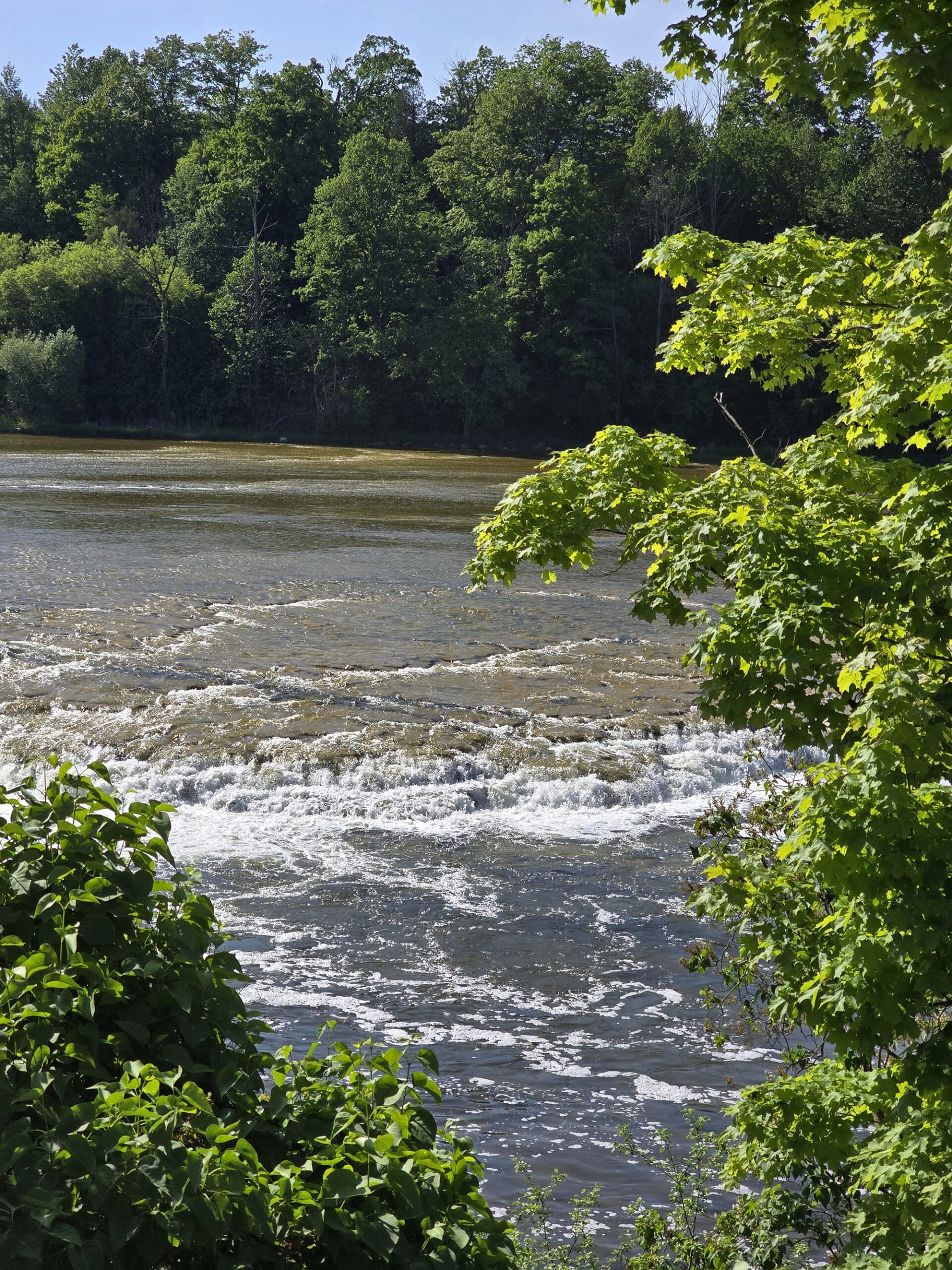
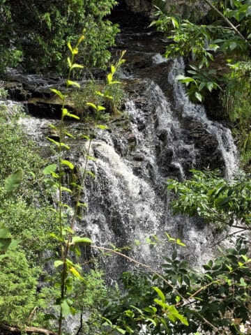
The big draw, though, is the series of low waterfalls on the scenic Maitland River.
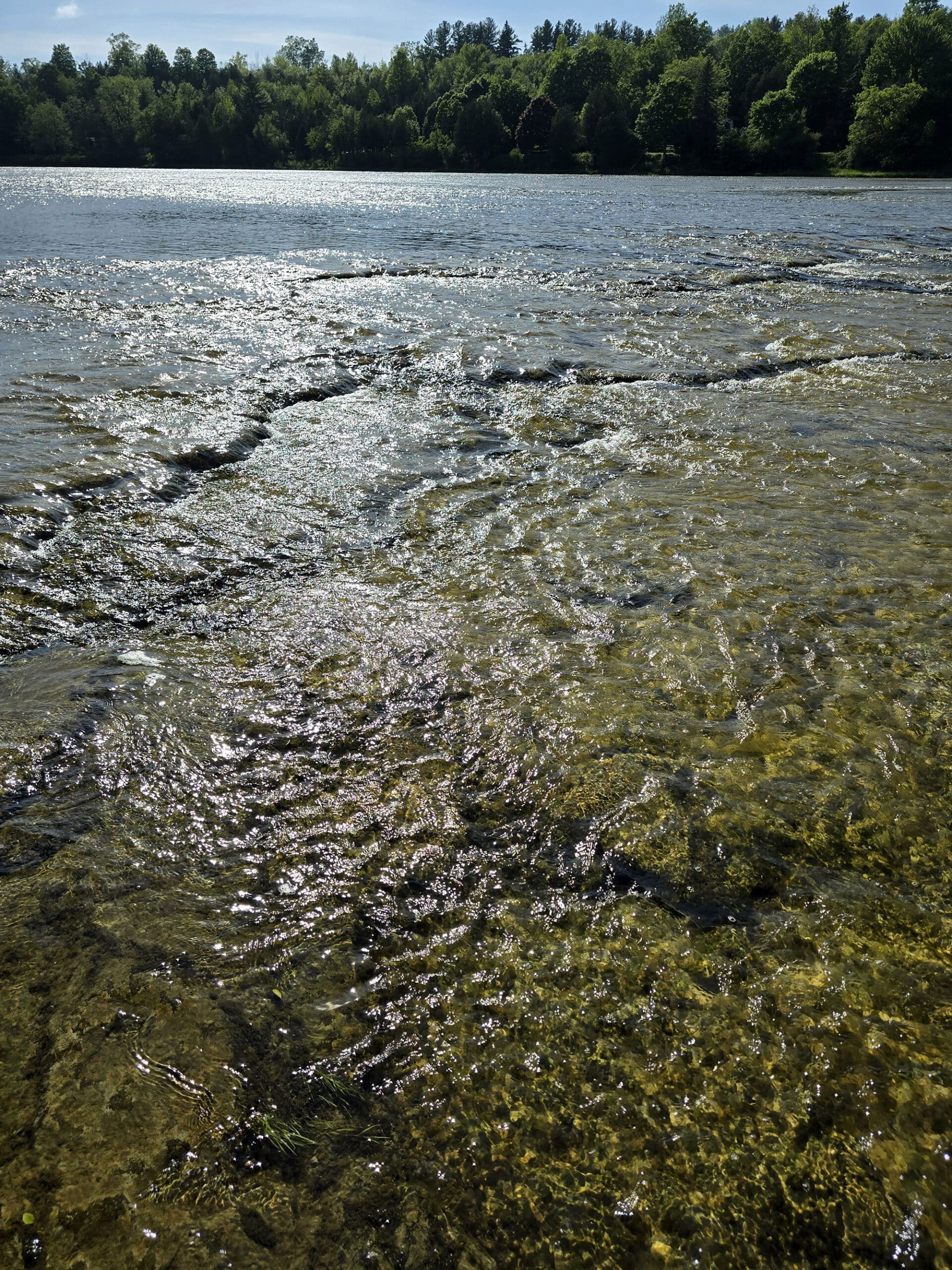
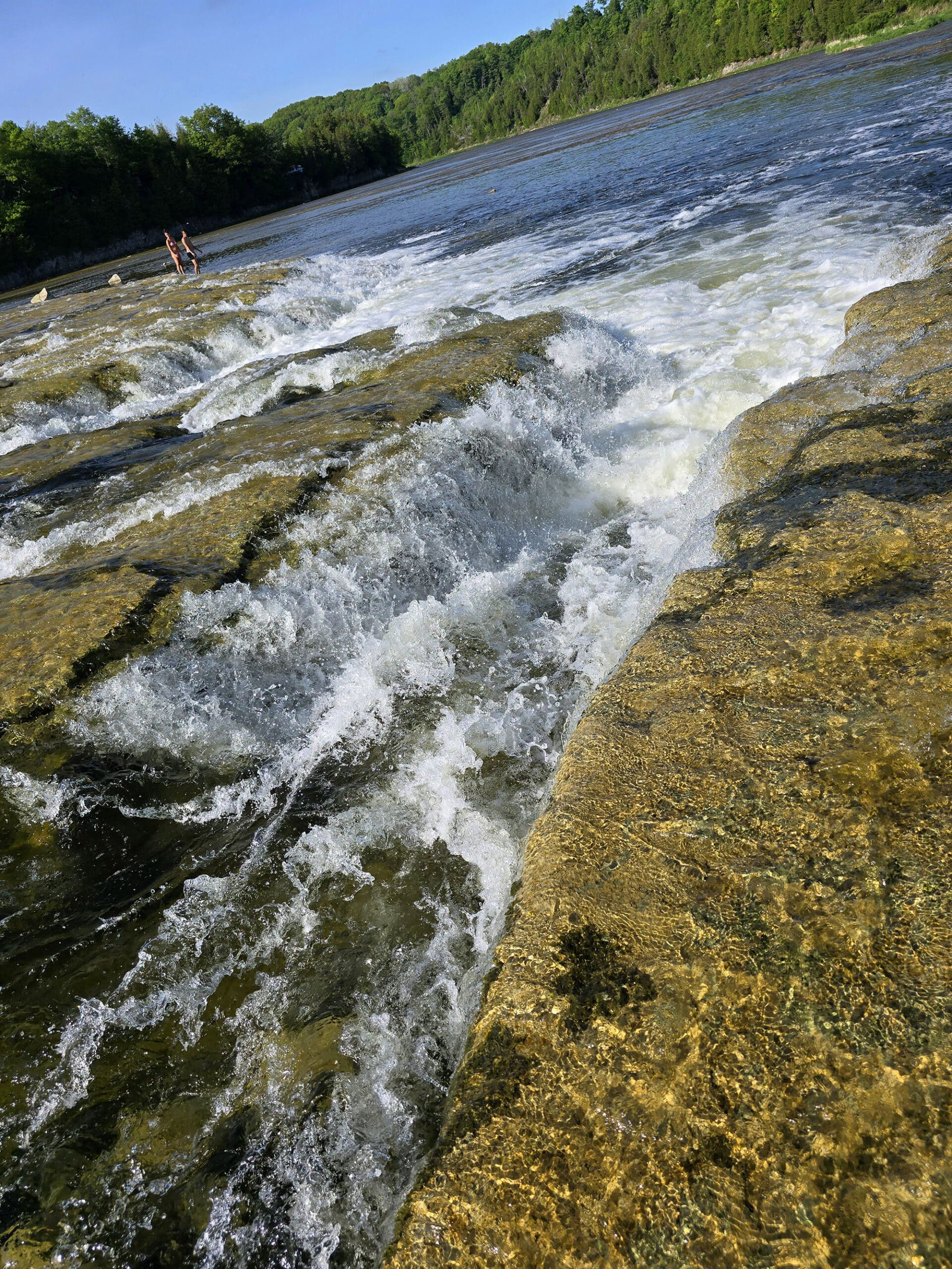
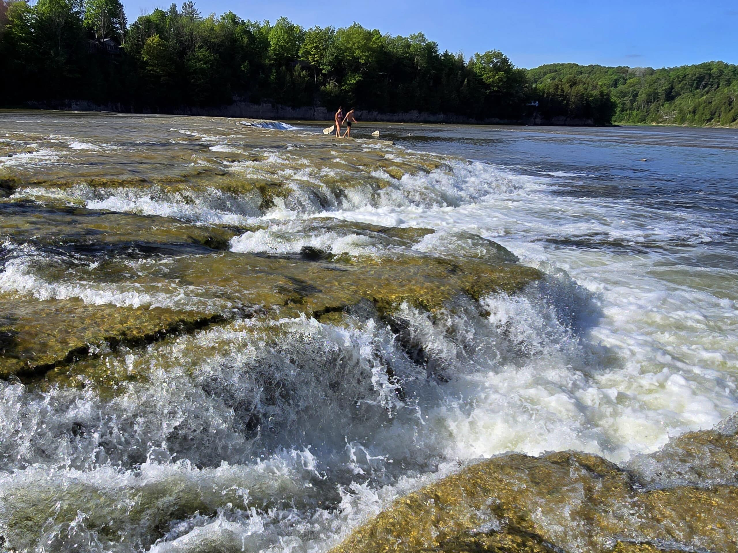
The rocky surface leading out to them is relatively flat - with shallow water - and you can go right out over and into the falls.
It was the absolute best way we spent any afternoon on that leg of our trip, IMHO. Absolutely loved hanging out *in* the falls, and would have loved to spend more time there.
Anyway, enough reminiscing, let me tell you all of the details you’ll want to know, for YOUR visit!
The Basics:
Location Name: Falls Reserve Conservation Area
Address: 80900 Falls Reserve Line, Benmiller ON
Website: Falls Reserve Home Page
Price They have a bunch of different fees, based on useage. See Their Pricing Page for more details.
Reservations: Maitland Valley Conservation Authority
Registration and Check In
We visited twice, with different experiences checking in. The first time was when the park was open.
It was starting to rain, so we asked if we could just get a map and any printed information (no internet at the camp ground!), so we could plan our trip for the next day, and maybe use an outhouse.
She was really flustered - making a comment about weird weather - and told us we’d have to pay the $15, so we did.
We decided to do a quick drive through and take a look at the falls at least.
(Weirdly, I couldn’t find information about either of those happening that day?)
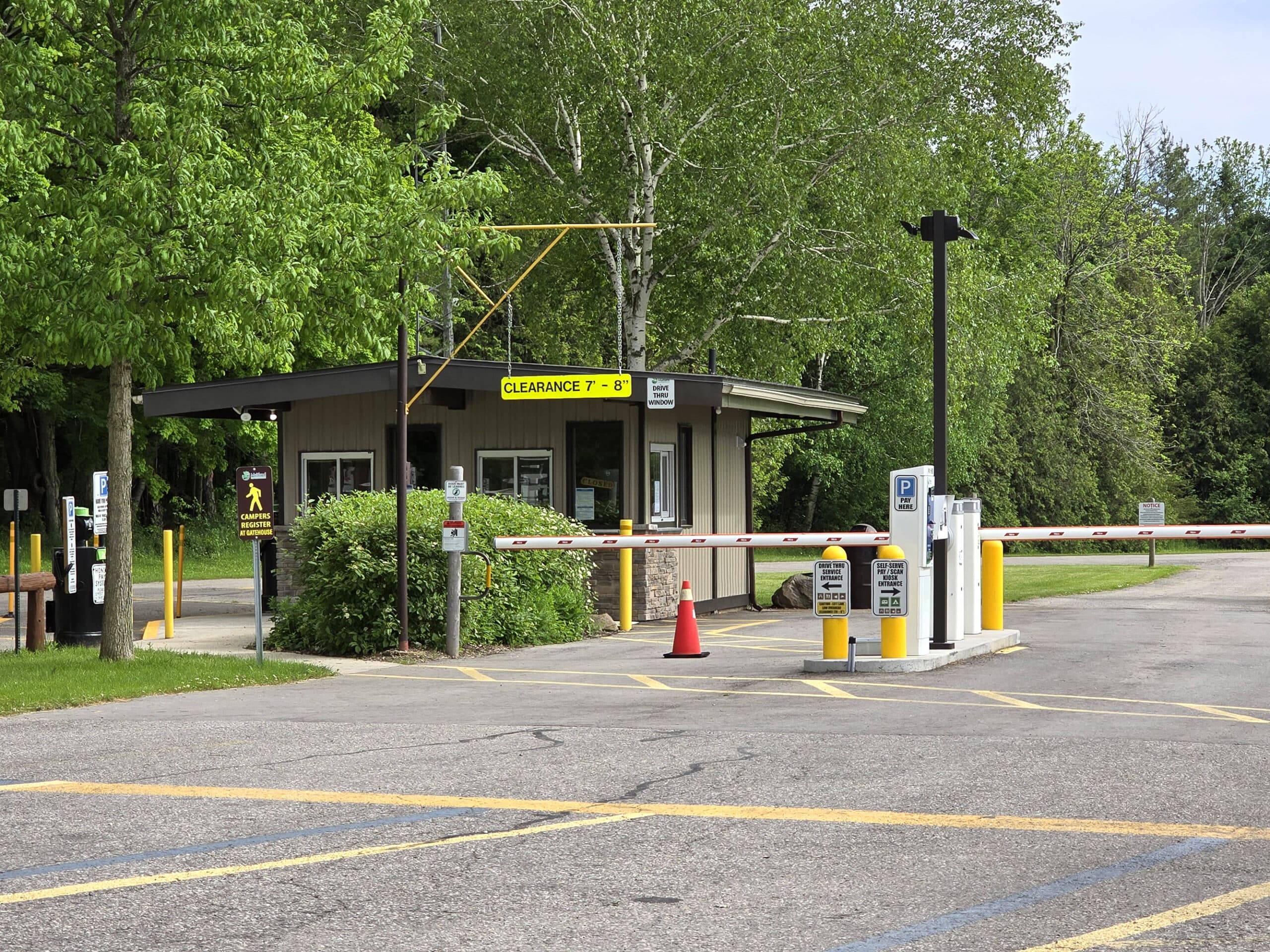
The second time was just after 4pm the next day, and the front gate was closed.
As we didn’t have internet access to book ahead, we used the self serve entry, which was a bit confusing.
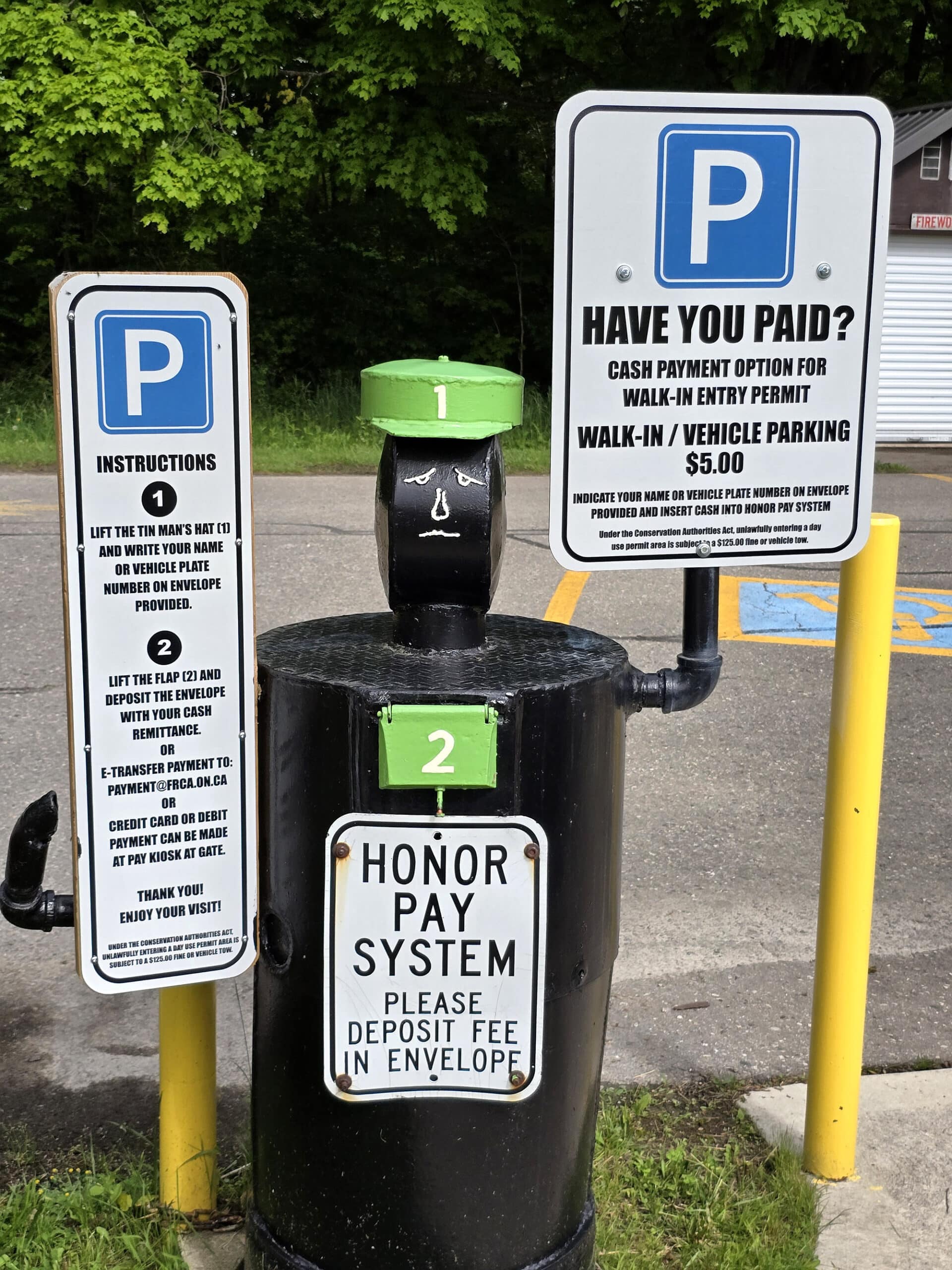
A sign nearby mentioned $5 entry on an honour system, then when you got into the digital prompts of the automatic gate, it told you $13, but then it ended up being $15.
Odd, but whatever - we DEFINITELY got our $30 worth, on that second day!
Maps and Signage
There’s a single, two-sided map for the park. Very clear and easy to read, really well laid out.
One side had each of the campgrounds laid out in more detail, with site numbers, and the other had a large map of the whole park, with colour coded trails.
Not even just colour coded, they were further split by use - solid line for walking trails, dotted for biking - AND had the steep slope sections indicated!
Love it!
There was also a large covered bulletin structure in the picnic area, but for the large surface it had... it only had one of these small maps pinned to it.
There was also a small map where the Blue Trail split off from Maitland Trail - really helpful!
Really, there wasn’t a ton of signage in the park, but what there was, was clear enough. It’s a small enough park that you don’t really need a ton of signage to get around.
Connectivity
We seemed to have decent internet connection / cell reception during our time there, but we only really checked our phones in one area (down by the falls).
Accessibility
We weren’t at the park for long, and I was having a decent enough mobility day that the activities we were doing weren’t necessarily accessible.
SO, we didn’t have a lot of experience with whether or not the park was accessible in general. Some observations:
1. The path from the parking lot to the picnic area is relatively steep, but well packed gravel and should be relatively accessible.
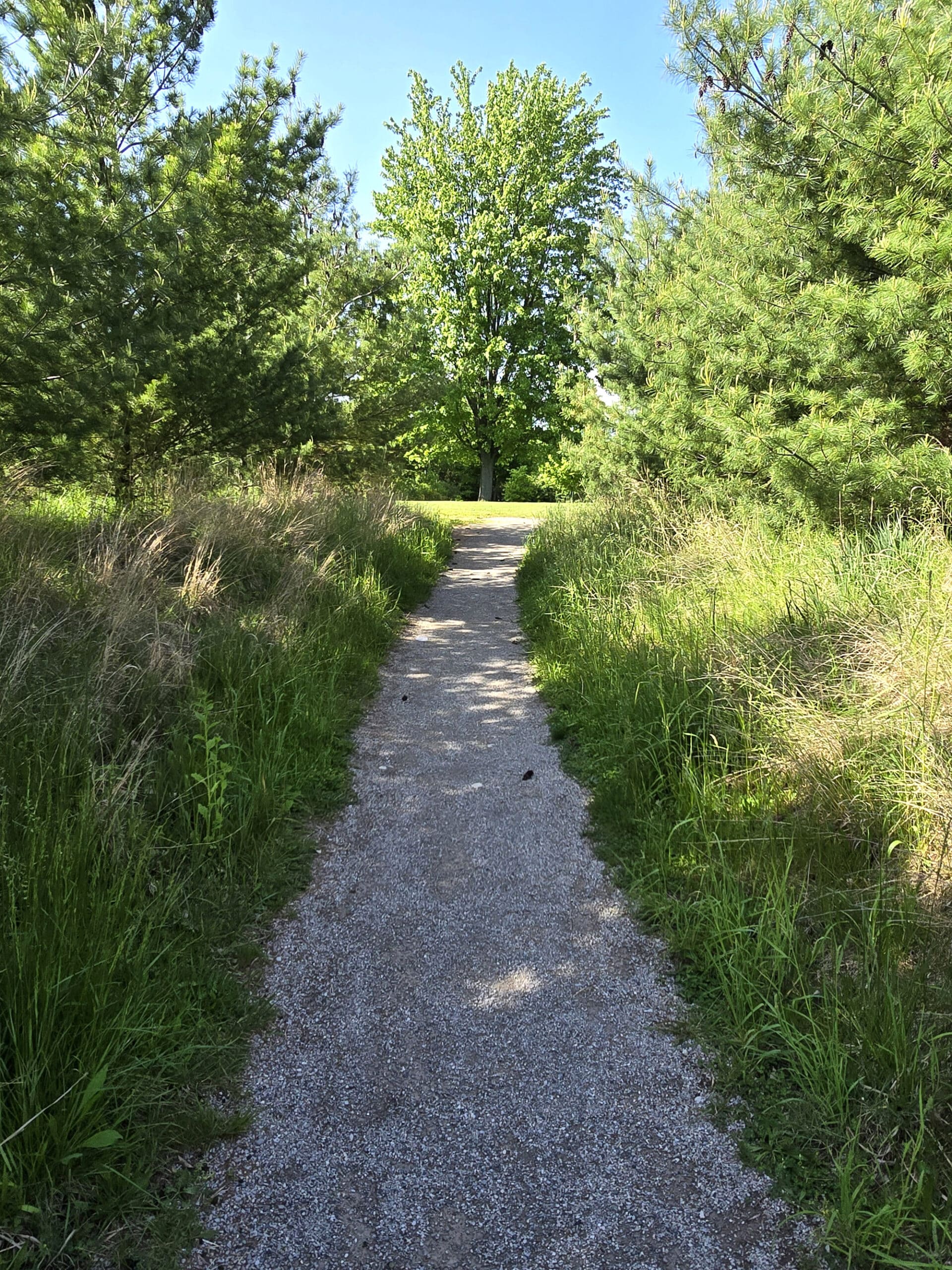
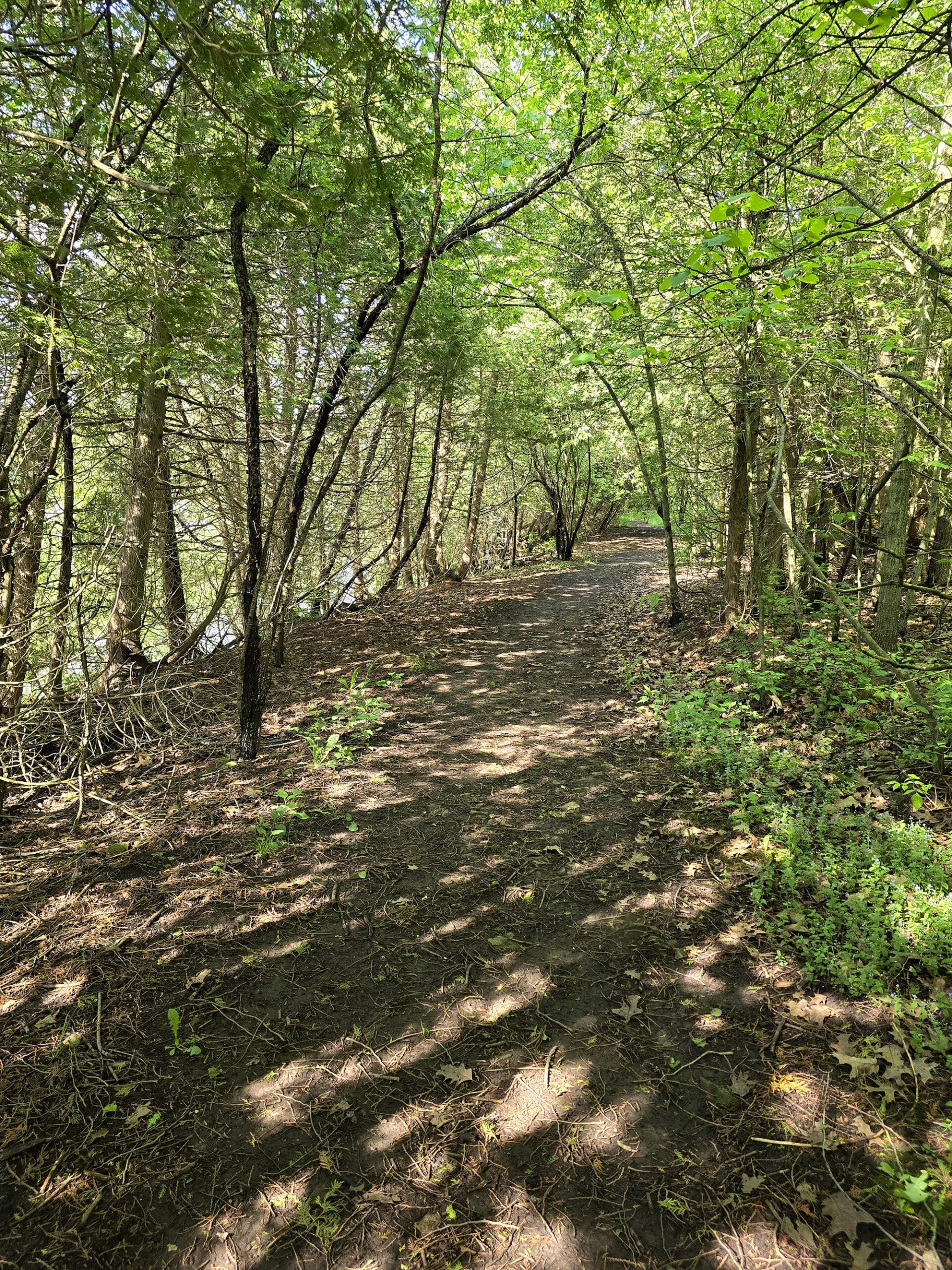
Up until the Blue Trail, it was relatively flat, quite narrow in places, and not much in the way of obstructions.
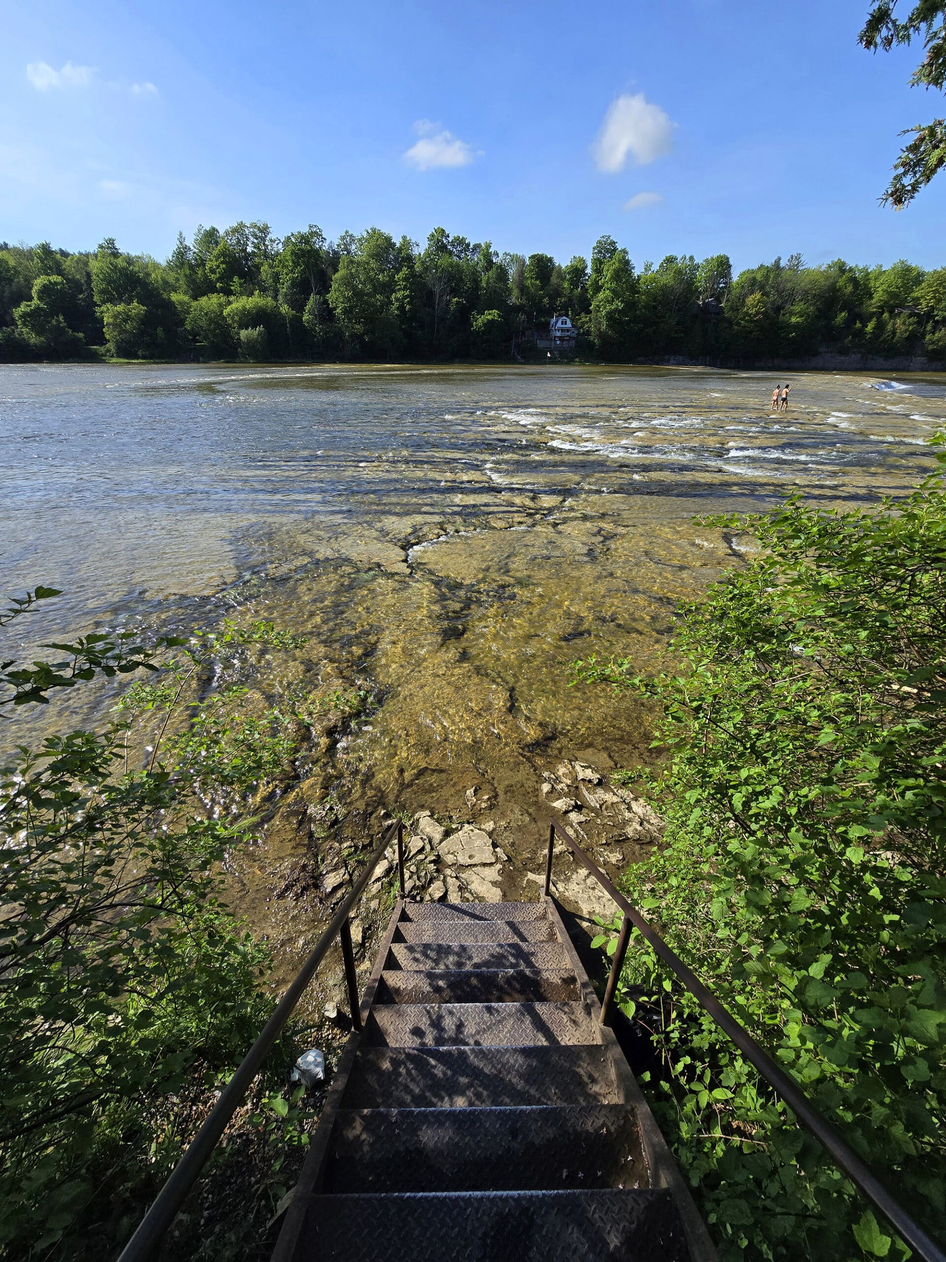
3. The only way you can get down to the falls is via a very steep set of stairs.
5. The single Porta-Potty near the fish pond was not an accessible one.
Overall, given that our entire reason for being there was the falls... I wouldn’t say it’s a very accessible park. Definitely not wheelchair friendly, anyway.
Pets
There are several signs saying the dogs must be leashed at all times, and kept on the trails. We didn’t see any dog-specific areas.
On the site, there is significant verbiage about dogs disturbing other people, and how you’ll be evicted from the conservation area over barking dogs.
There are also restrictions on the length of a leash (Minimum 2 metre. Weird to be a minimum!), the number of dogs you can have per site (2), and all the normal stuff about scooping the poop up after your own dog.
Parking
There seems to be plenty of parking, and all of it’s covered once you pay the entry fee to the park.
The picnic area parking is very close to the falls - maybe 100 meters or so? - as well as an access point to the Maitland Trail.
Miscellaneous
They have several first aid kits available if needed - at the gatehouse, the main park office, and in every park vehicle.
Picnic Area
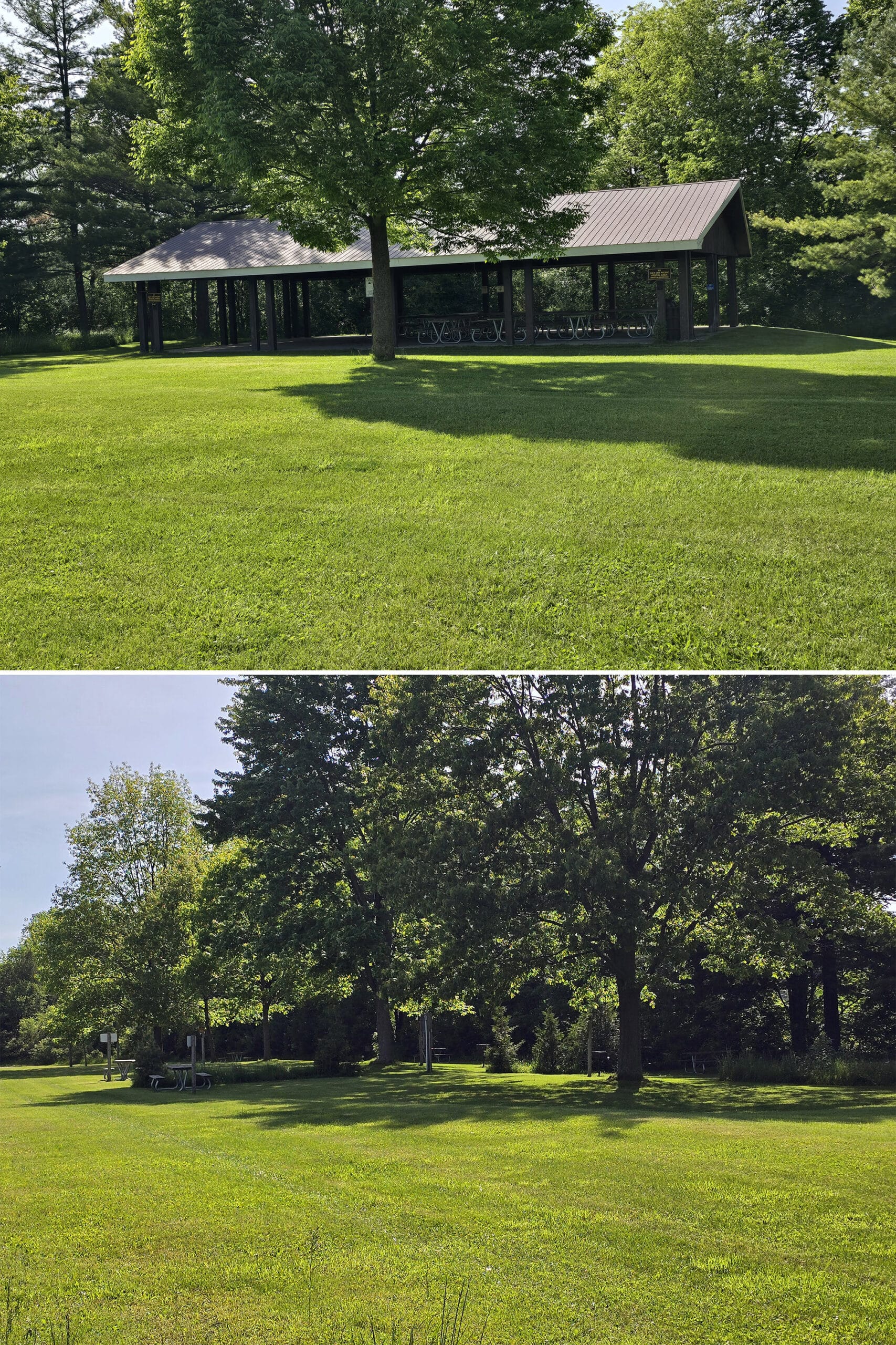
There’s a large picnic area near the falls, with a picnic shelter and 6 picnic rental areas.
We didn’t venture far enough over to see what each of the “rental areas” entailed, but there were definitely picnic tables out in the open.
Looking on their site afterwards, we found that each picnic site has nearby electricity, a charcoal BBQ, a fire pit, and a picnic table. They cost $30 each to rent - in addition to park admission.
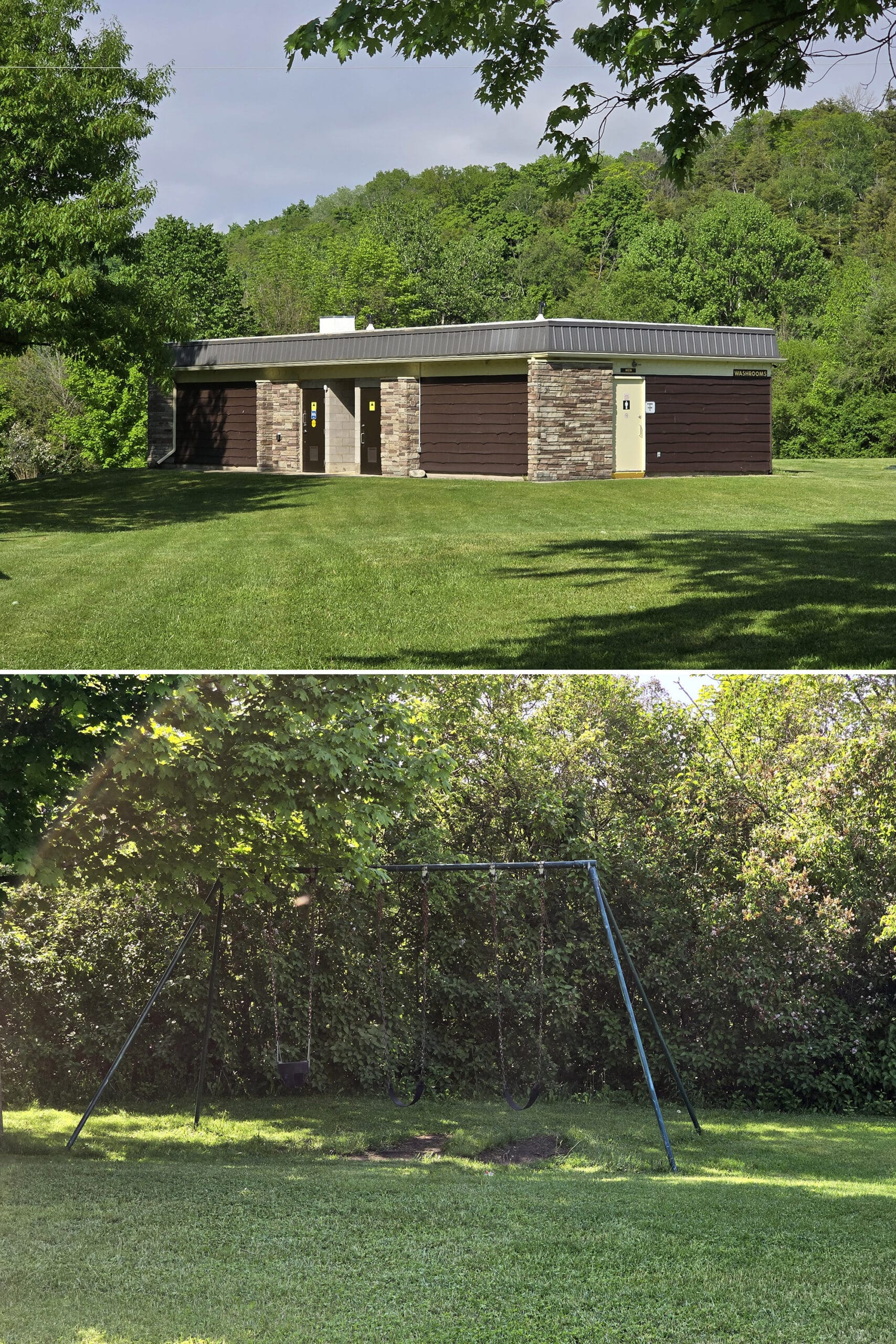
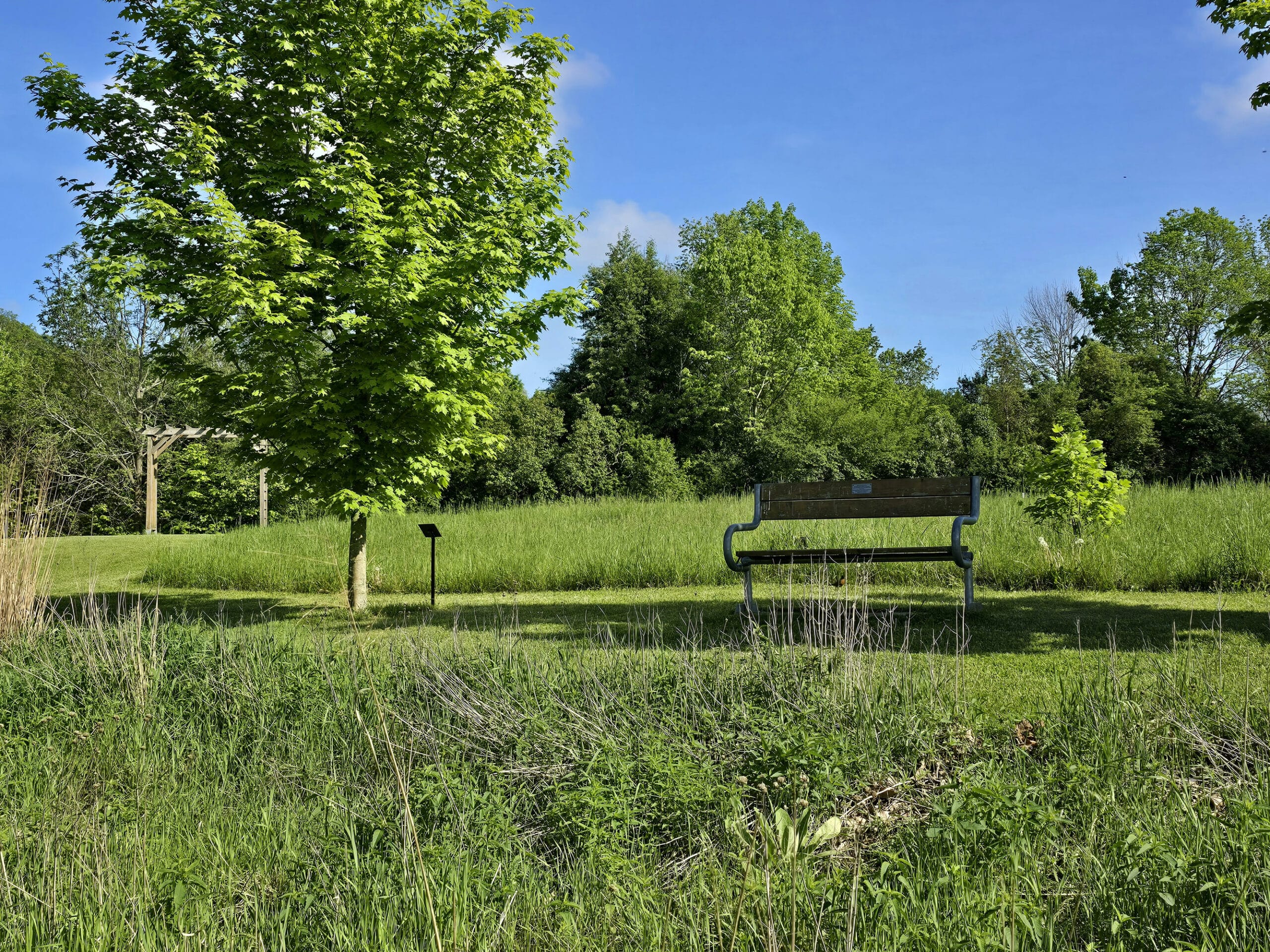
Beyond that, there’s a lot of wide open field by the picnic area, but no playground - beyond a really sad looking swing set - or actual sports facilities.
There’s also a small building labeled as being for showers and washrooms.
Above the Falls Pavillion
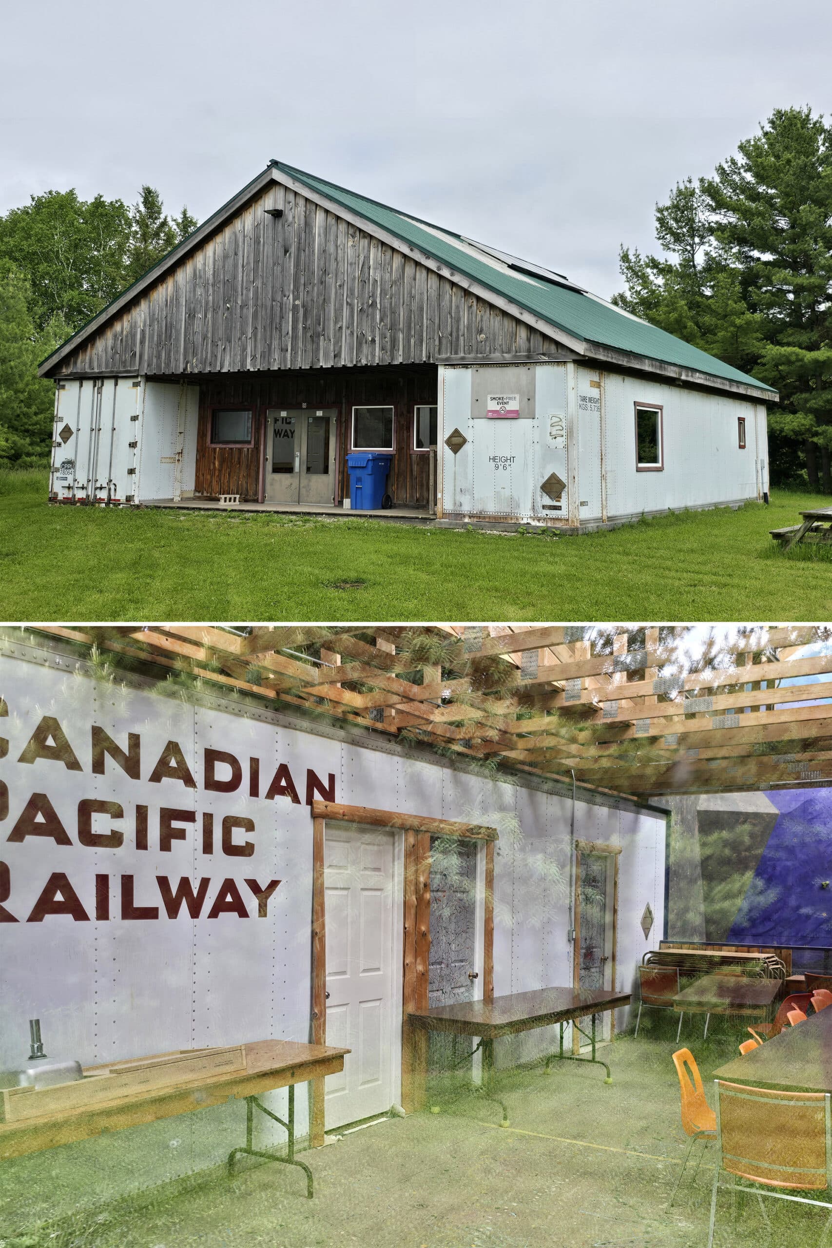
This was a weird one. We saw it listed on the map and decided to check it out, figuring it was an outlook, or some sort of cultural information display.
It was... well, I’m not sure what it was, really.
Two cars - labeled as railway cars, but sort of looked like semi trailers, based on how the doors were - that were connected via a bit of a building built around them.
It didn’t appear to be open / operational, and there was NO context provided on the map or outside of the building, as to the purpose it served.
When I Googled - briefly, but still! - I wasn’t able to find any information about its purpose.
Camping
There is a large section of the park available for various types of camping (RV, Tent, with or without electricity, some with water hookup, some with water and sewer, etc).
A lot of it - 170 campsites - seemed ... not super private. Very out-in-the-open and crowded looking.
If people are your thing, you could probably have some terrific camping experiences during camping season at Falls Reserve, though.
Share the Love!If you’ve made one of our recipes, be sure to take some pics of your handiwork! If you post it to Bluesky, be sure to tag us - @2NerdsInATruck, or you can tag us on TikTok, if you’re posting video. We're also on Pinterest, so you can save all your favourite recipes and park reviews to your own boards! Also, be sure to subscribe to our free email newsletter, so you never miss out on any of our nonsense. Well, the published nonsense, anyway! |
Entertainment and Activity
The falls aren’t the only thing to see or do in the park, here is some information on the other activities you can engage in:
Hiking
We didn’t do a TON of hiking during our stay.
From what we could see - the section of the Maitland Trail that went from the picnic area to the blue trail, and SLIGHTLY up the blue trail - it would have been some fantastic hiking!
Unfortunately, the rugged river valley got the better of us during our stay - the rocks were incredibly slippery.
After a near disastrous slide down part of one of the steep slopes, we noped out and went back to play in the waterfalls!
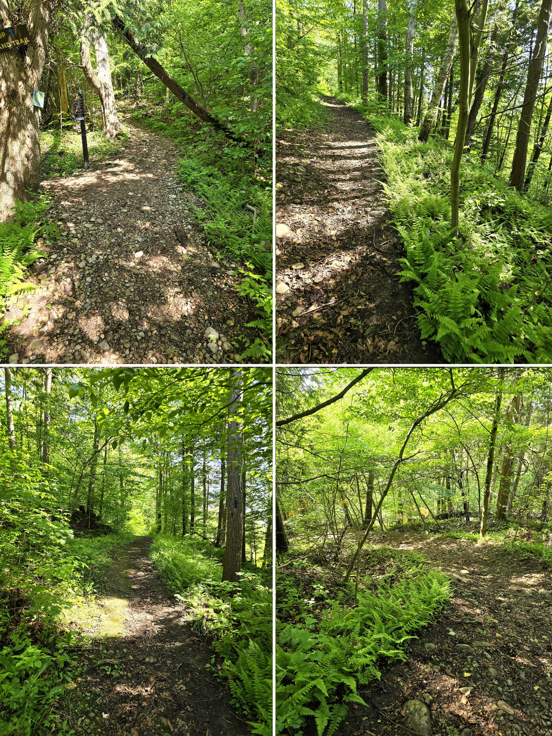
1. Bring bug spray! We went in late may, and the swarms of bugs definitely put a damper on our hike. Also, the grass was really tall, so tick spray specifically would be a good idea.
2. Wear sturdy hiking boots that have good traction. You’ll need it if you’re doing the blue trail!
3. On that note, we love that the park map marks where the steep sections are.
That said, the sections we did got REALLY steep, and they weren’t the sections marked. I’m definitely curious as to how steep the “steep” sections are, given that the ones we saw didn’t merit such a note!
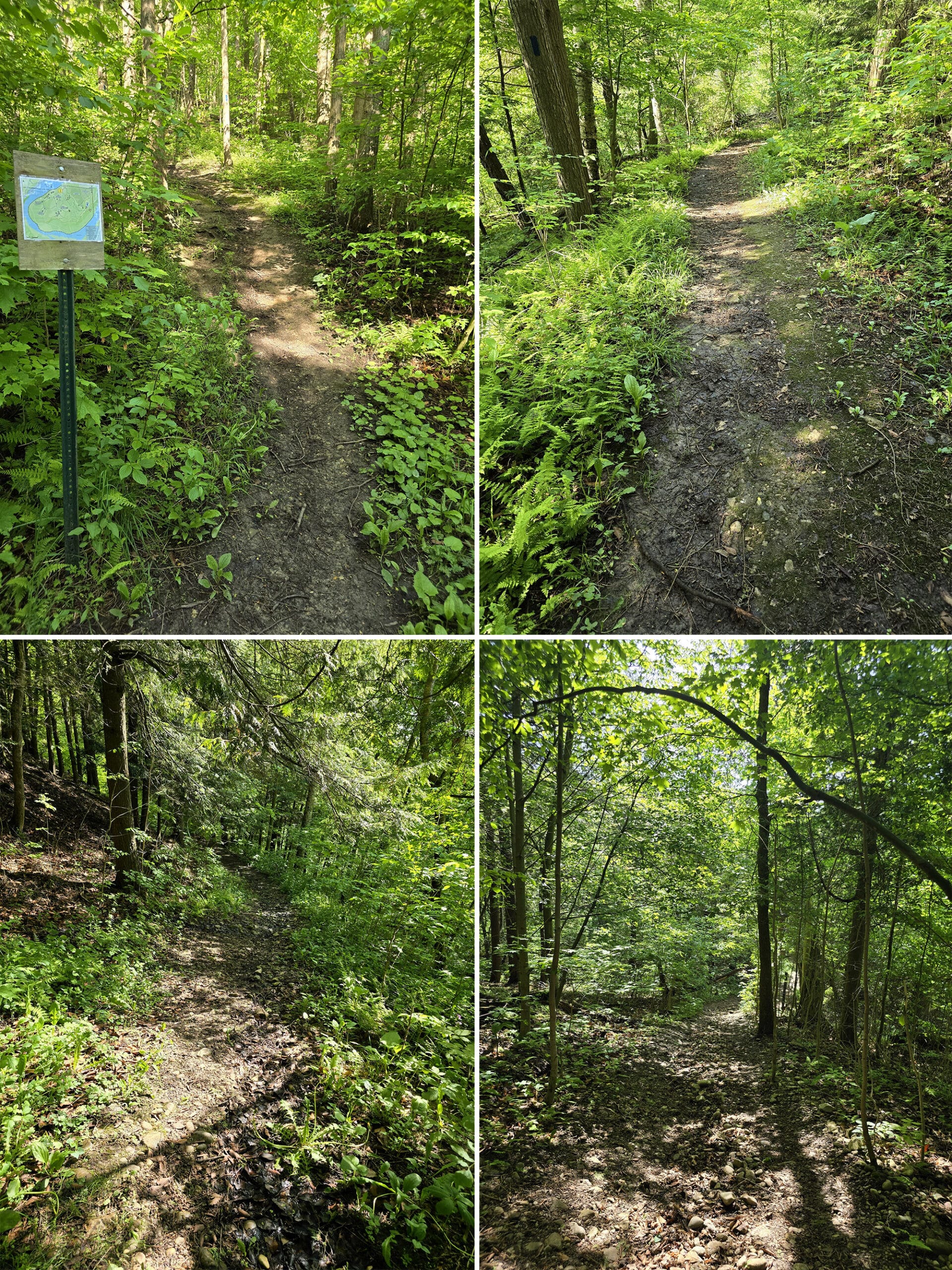
The primary, double path trails are:
Blue Trail - 814 metres
Maitland Trail - 2.9 km
The secondary, double path trails are:
Blue Loop - 457 metres
Orange Trail - 1.5 km
Roadside Trail - 637 metres.
The map does not give any information about the difficulty of these trails. Maitland looks like it’s pretty easy, and Blue Trail / Blue Loop are definitely fairly difficult, though.
5. The 50 km Maitland Trail (I mentioned it in my post about the Menesetung Bridge ) passes through and basically encircles the park. The park is located on the 16th through 19th km section of the trail.
Biking
Falls Reserve Conservation Area has several trails denoted as being primarily for mountain biking:
Conifer Corners, 824 meters
PK’s Passage, 420 meters
Deer Run, 529 meters.
Each of these are only accessible via one of the solid line trails (Primary Trails and Secondary Trails), so I’m assuming you’re allowed to bike on those, as well.
The Blue Trail runs from near the fishing pond to the Maitland Trail in a spot near the falls, and all three of the bike trails can be accessed from it.
Swimming
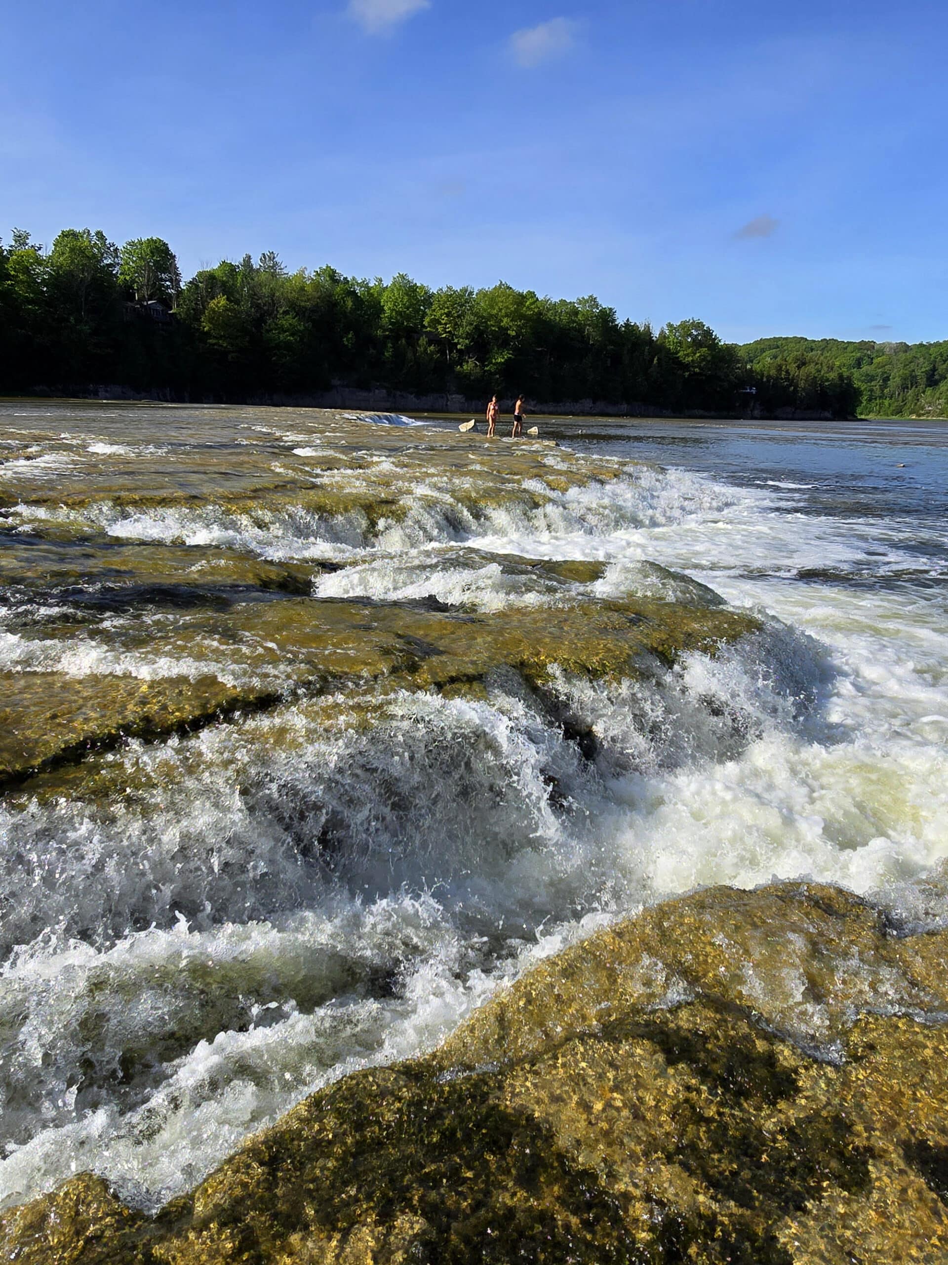
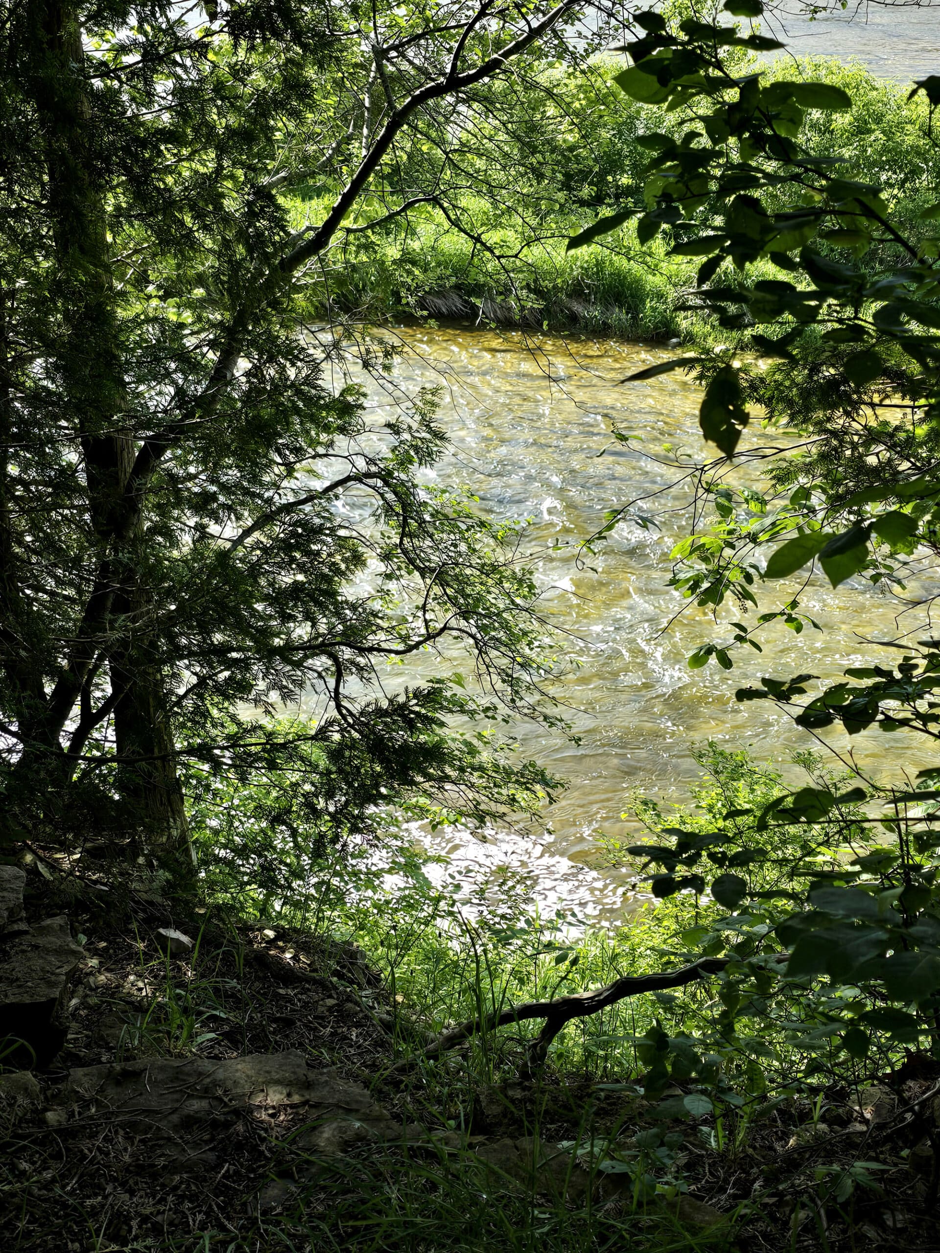
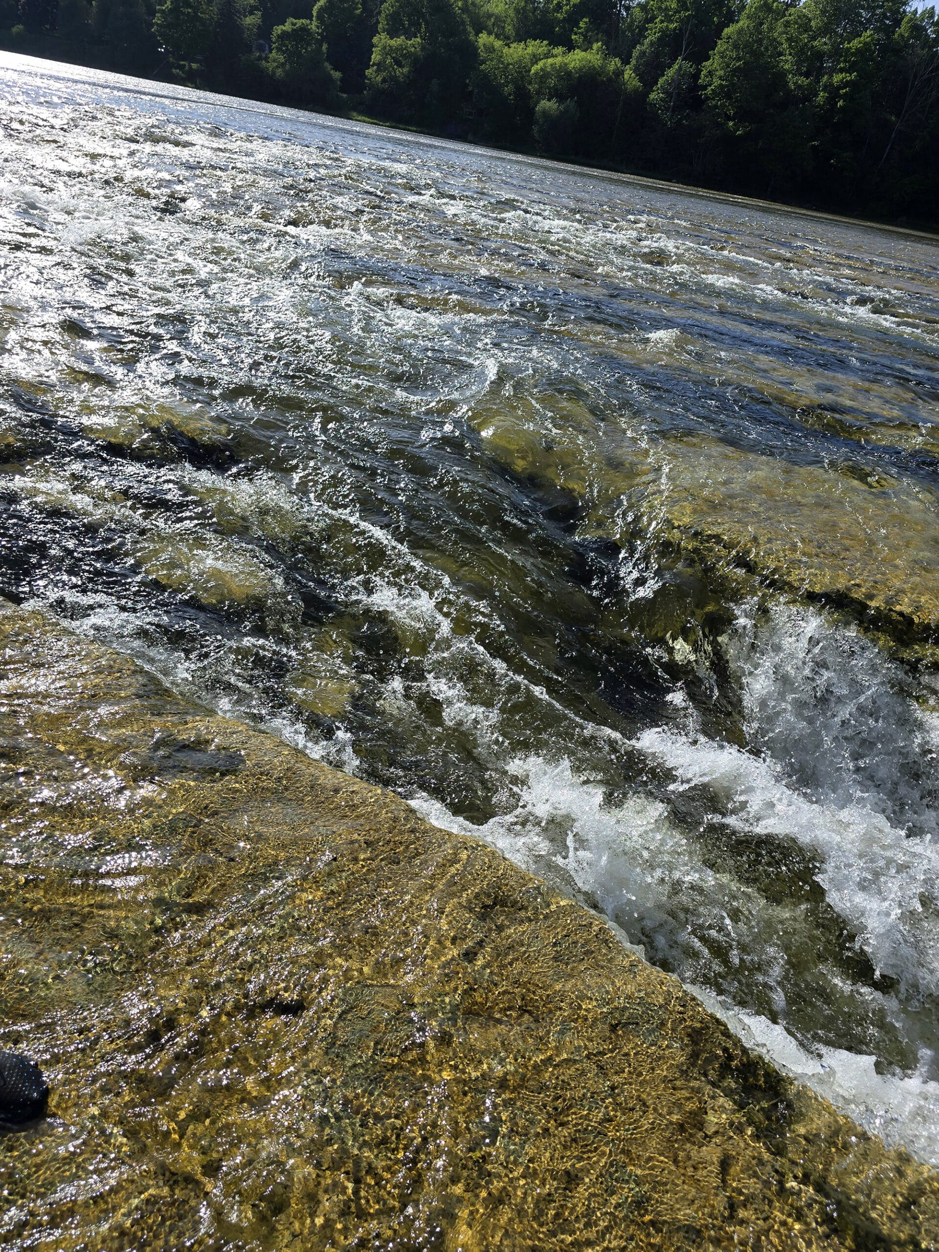
The waterfalls at the Falls Reserve Conservation Area were our whole reason for visiting, and they did NOT disappoint.
Starting with the view from the stairs that get you down to the river in the first place, the experience is amazing!
The stairs end right at the river bank, with the shallow water of the river lapping up against the landing.
Depending on the water level, there could be spots along the shore to stow your belongings- there were a few during our visit.
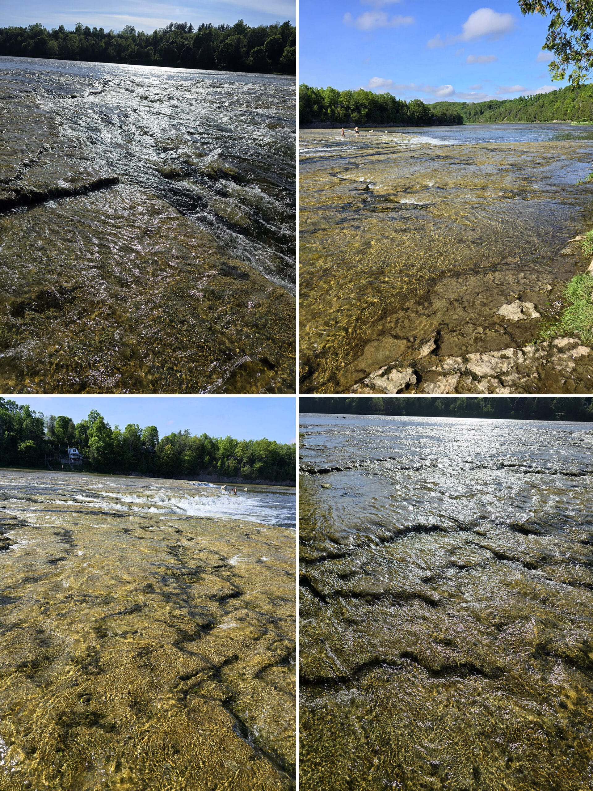
We were expecting to have to deal with slippery rock, but our swim shoes provided plenty of traction - no issues at all.
You WILL want to watch out for the deep cracks and crevices in the rock surface, though. They’re cool to look at, but I wouldn’t want to trip over or into them. NO idea how far down they go!
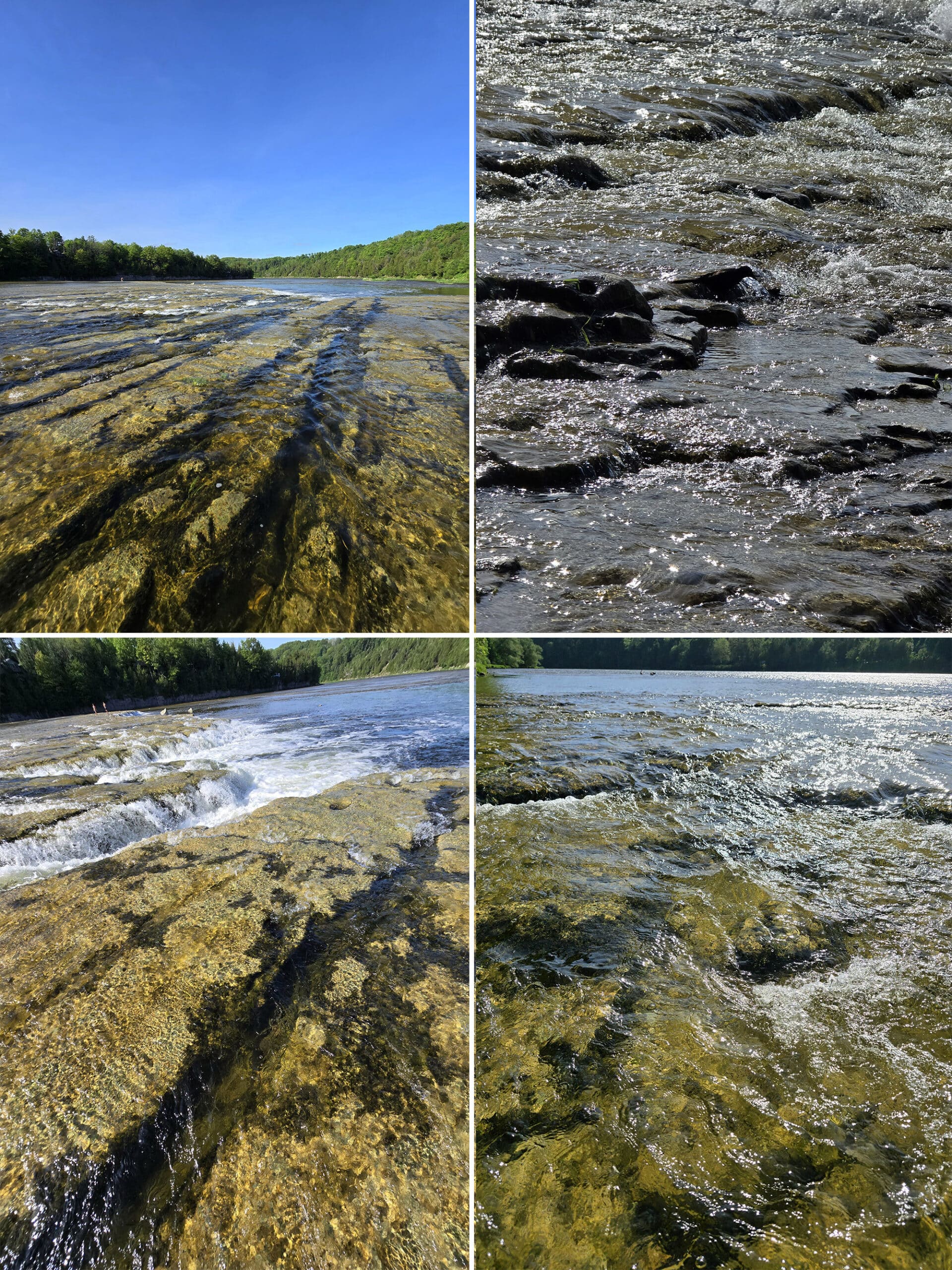
I guess we have been so used to freezing water in Lake Huron and Lake Erie leading up to this point in the season, that wading into perfectly comfortable water felt like a special treat.
Anyway, the park cautions that children need to be supervised at all times, and recommend life jackets for everyone - especially young children.
They also recommend staying away from the river when the water level is high and is flowing fast. Not being from the area, though, I have no idea how we’re supposed to tell what’s considered high or fast!
Boating
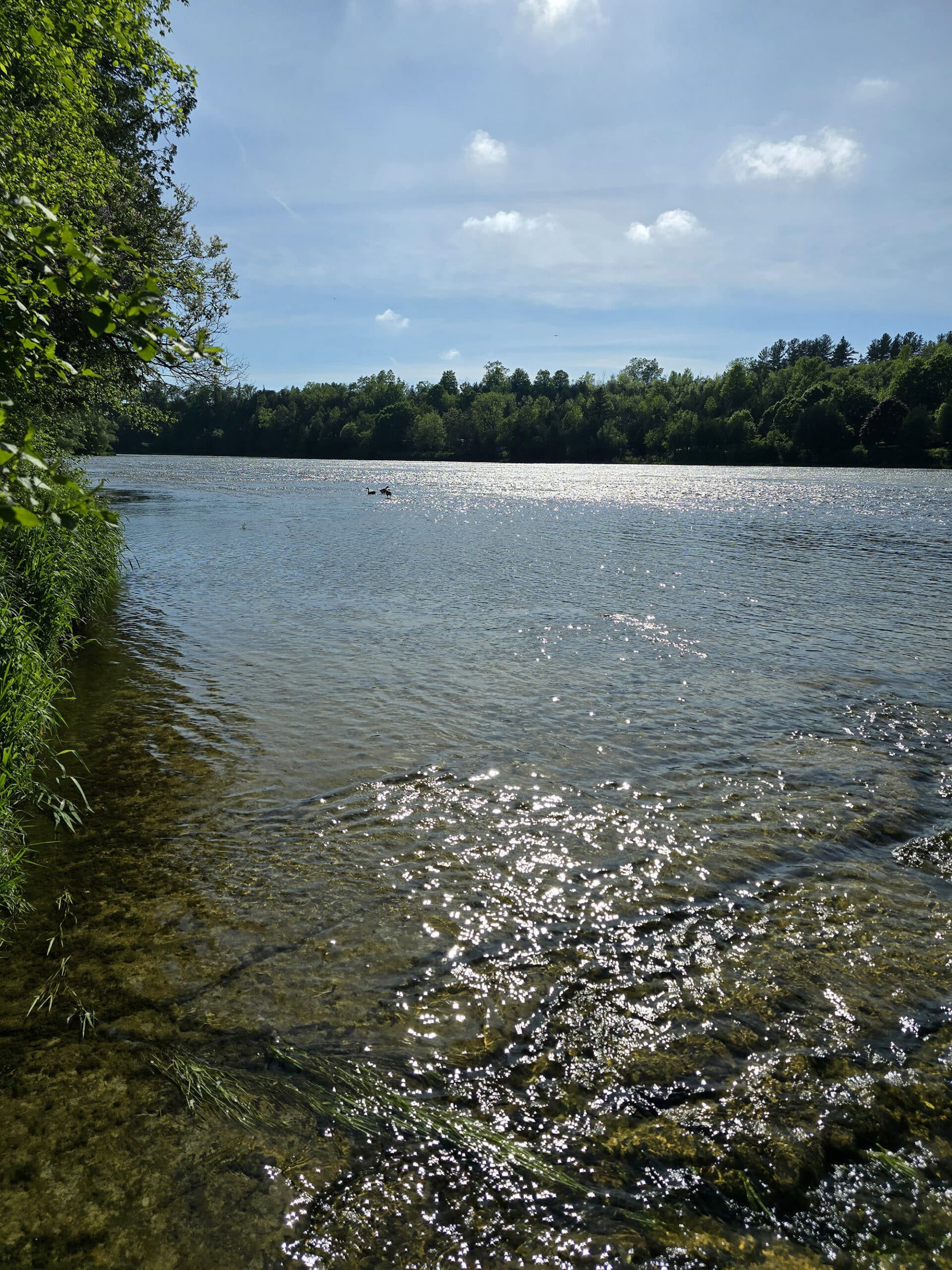
The winding Maitland river is known as a gorgeous place to go canoeing and kayaking.
I’m assuming you’d want to portage down over the falls, though - easily done at the area close to the park’s river bank.
That said, I didn’t see any kind of a boat launch in the park itself.
Fishing
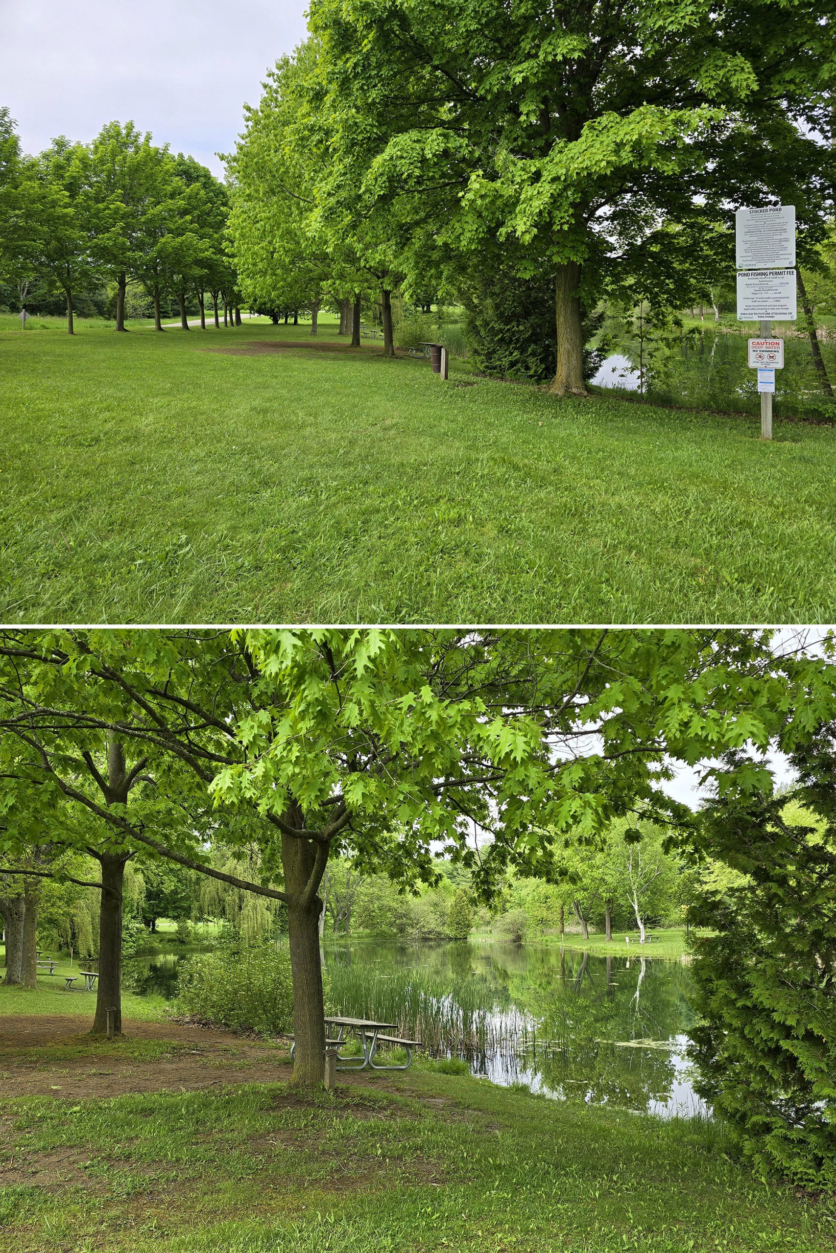
There’s a gorgeous looking little fishing pond near the beginning of the park, with green space and picnic tables surrounding it. Very lush looking area.
Signs indicate that it’s DEEP water, and a stocked pond - trout and bass.
Beyond the pond, the Maitland River is known as a fantastic place for fishing. In the spring and fall, Rainbow Trout and Salmon migrate up the river to spawn, and Smallmouth Bass is available in the summer.
Obviously, all licensing and fishing rules, regulations, and restrictions apply.
A special pond fishing permit is required from the park to fish in their stocked pond, for anyone over the age of 12. These are available at the gatehouse, and range from $6 (ages 13-17) to $12 (adults).
Children 12 and under are free, but they must be accompanied by someone who has purchased an adult pond permit.
A few things to note:
1. The park has a cool contest going. They’ve tagged some of the fish in the pond, and anyone who catches a tagged fish wins a free FRCA Membership pass for a year.
2. Any Largemouth Bass caught in the pond are catch and release only.
3. The conservation area is park of the OFAH Tackle Share Program, with free loans of fishing equipment available at the gatehouse.
Final Thoughts
Depending on the weather at the time, we’ll definitely be visiting Falls Reserve Conservation Area any time we’re in the area again, in the future.
I could easily spend all day walking around in the falls. What a cool experience!
It was amazing to be able to wade into a series of mini waterfalls, and just... be in the middle of it. The water crashing against the legs, the breeze coming down the river - ah, it was great!
Also, the trails were interesting - we’ll definitely need to try them again when it’s not super buggy, and hopefully not as slippery.
While I don’t think we’d actually camp at Falls Reserve, Point Farms Provincial Park is really close - less than 15 minutes away.
More Ontario Waterfall Posts
Looking to waterfalling in Ontario? Here are more Ontario Waterfalls to check out:
Aguasabon Falls
Chippewa Falls
Eugenia Falls
Gariepy Creek Falls
Healey Falls
Hogg's Falls
Indian Falls Conservation Area
Inglis Falls
Jones Falls [Pottawatomi Conservation Area]
Kakabeka Falls
Mink Creek Falls
Onaping Falls
Oxtongue River-Ragged Falls Provincial Park
Provoking Falls
Rainbow Falls
Sand River Falls
Sauble Falls
Scenic High Falls
Walter's Falls
Webwood Falls
Beyond the waterfalls, be sure to check out our Places to See category, to find more interesting Ontario places to explore!
Thanks for Reading!If you loved this post - or have any questions about it - please leave a comment below! We'd also love it if you would consider sharing the link on social media! |


Leave a Reply