

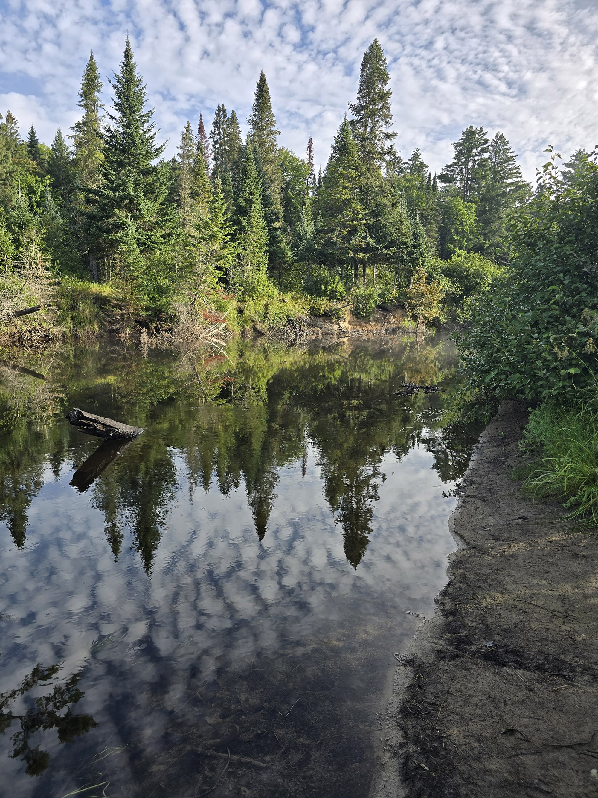
The Whiskey Rapids Trail is a short, visually STUNNING hiking trail in Algonquin Provincial Park. Here's everything you need to know about it!

We didn’t know it at the time of our first visit, but it’s generally gated from late fall to spring - at the very least! For all the times we’ve visited Algonquin, I think it’s been gated more often than not!
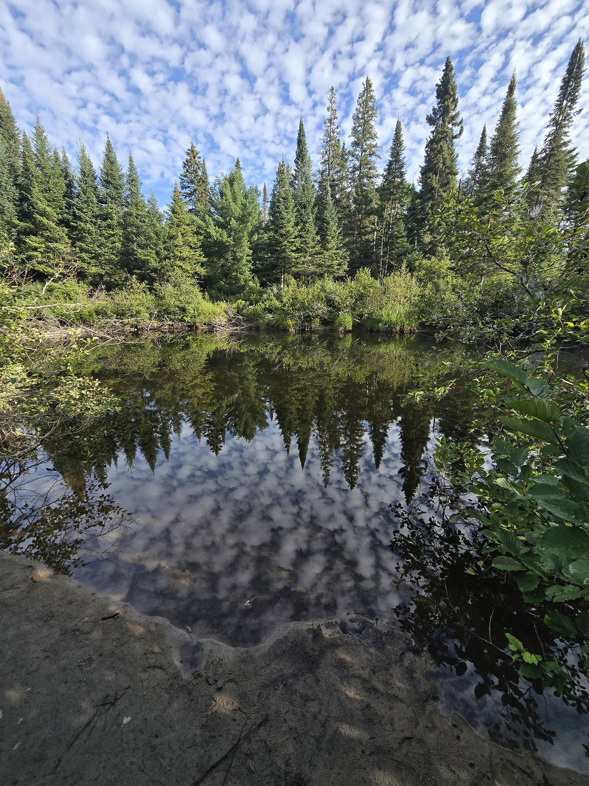
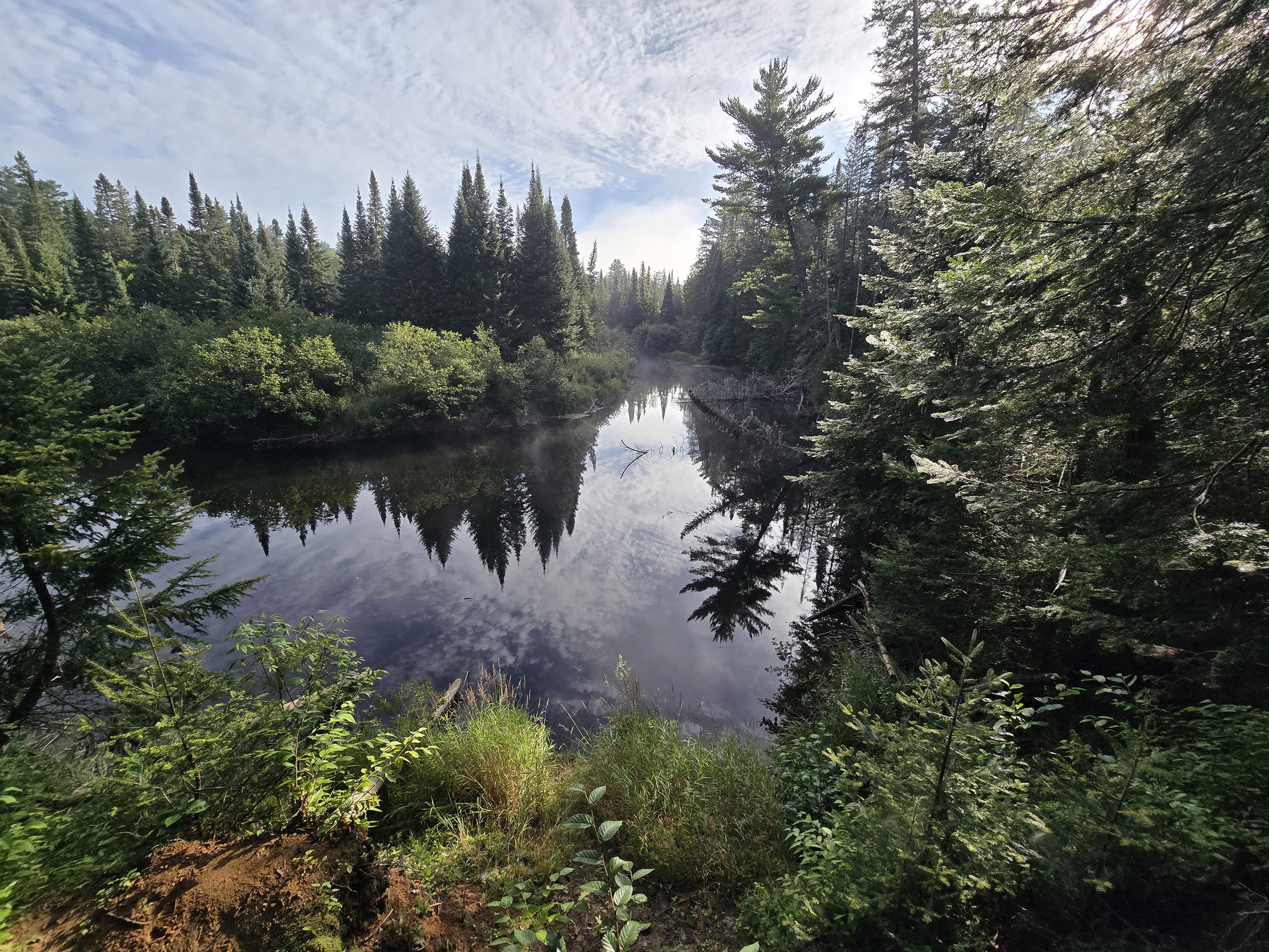
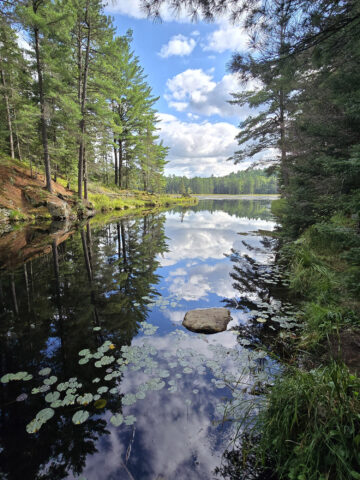
Anyway, that first visit happened in winter, and it wasn’t gated at the time. ABSOLUTELY MAGICAL. The water was still and mirror-like, and the freshly fallen snow had everything looking like a Christmas card. Just gorgeous!
It quickly became our favourite winter trail, until we found out that our ability to do it in the winter was an anomaly! Boo.
Anyway, we re-did the trail in August, 2026. We weren’t expecting much - we tempered our expectations, knowing there’s no way it would be the *perfection* it was, that first time.
It was still a lovely trail - so why don’t we go ahead and tell you all about it?
The Basics:
Name: Whiskey Rapids Trail
Algonquin Park Section: Highway 60 Corridor
Kilometre Marker: km 7.2
Season: Late Spring to Late Fall. Often closed due to flooding, etc
Trail Length: 2.1 km
Difficulty: Moderate
Suggested Completion Time: 1.5 Hours
Logistics
Some basic information to help you plan your hike on the Whiskey Rapids Trail in Algonquin Provincial Park:
Registration and Check In
All hiking trails in Algonquin Provincial Park require a valid permit to be within the park in the first place. There are a few different ways you can do this, depending on how you’re visiting the trail.
1. If you’re currently camping in Algonquin
If you have a current, valid camping permit for a campground in Algonquin Provincial Park - you just show up to the trail. Your license plate number is already registered with the park, and you’re good to go.
2. If you’re currently camping in a DIFFERENT Provincial Park
If you’re driving in for a day trip from somewhere like nearby Arrowhead Provincial Park, Bonnechere Provincial Park, Lake St Peter Provincial Park, or Silent Lake Provincial Park - you can take advantage of the reciprocal program.
With a few exceptions, a current and valid camping permit from one Ontario Provincial Park will act as a daily vehicle permit at another.
You just need to show up at one of the gates on the way in (East Gate and West Gate are the ones on either end of Highway 60), and show proof of that permit - a paper permit if your campground has it, or your email confirmation.
They will register your license plate number and you’re free to go - no additional fees required!
3. If you have an annual Ontario Parks Pass
Generally speaking, all you have to do is show up at one of the gates, present your pass, and have your license plate noted.
Note: Sometimes you’ll need to reserve a daily vehicle permit ahead of time. This is usually during peak fall colours season, when certain areas of the park reach capacity.
4. If you don’t have any sort of camping permit or Parks Pass in place
You can book your Daily Vehicle Permit online at Ontario Parks Reservations - up to 5 days in advance of your visit.
If you’re planning your visit for October... you might want to be ready to do so right when that 5 day window opens up, to ensure availability!
Otherwise, you can pay for a DVP at any one of the Algonquin Provincial Park gates.
Note: Some of the trailheads have QR codes for booking your DVP, but with such spotty internet throughout the park ... I really recommend doing it ahead of time.
Washrooms
There are no washrooms at the trailhead for Whiskey Rapids Trail.
The closest washrooms are located just east of the trailhead, at the Tea Lake Dam picnic area - probably 1 km or so away. These are outhouses.
In the other direction, there are more washrooms at the West Gate, about 7 km west of the trailhead. There are flush toilets AND outhouses available in that area.
Parking
The parking lot is relatively small, up a hill and around a corner from the main highway.
RVs, buses, and trailers aren’t allowed, probably because you have NO view of the parking lot from the road. You won’t see how full it is until you’re actually up there, when it could be too late!

Maps and Signage
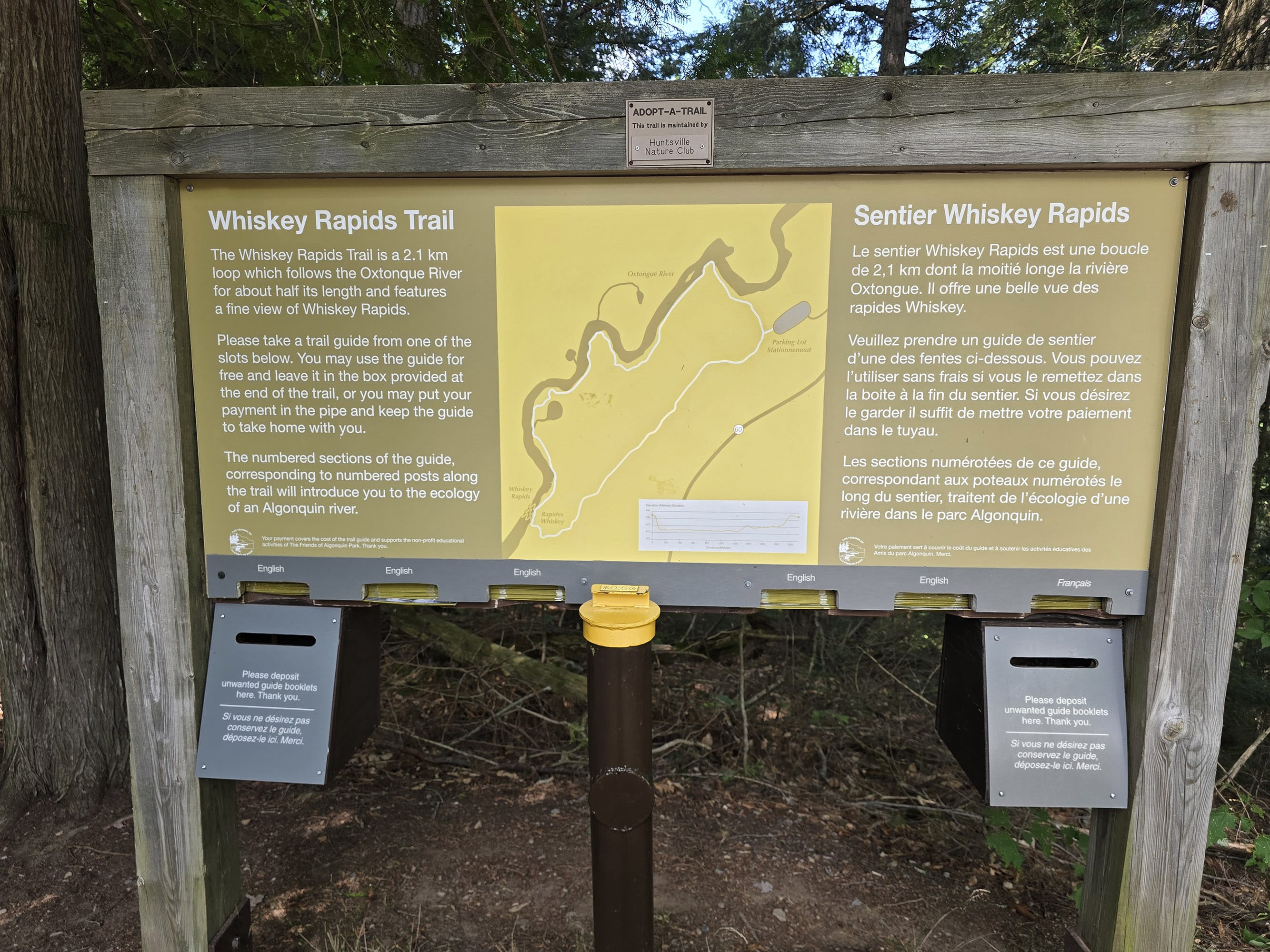
There is a rough map at the trailhead, more of a general overview of the layout, than anything. There are no distances marked, etc.
For a MUCH better map, grab one of the trail guides. It has a much more detailed map, with segmented distances, points of interest marked, and even a graph showing the elevation changes.
(As a note, though: the map at the trailhead actually has an elevation chart - unusual for Algonquin trailhead maps!)

Near the beginning of the trail, there are a few “extra” trails - they look to be little user-created paths that have worn in over time.
They aren’t the main trail, though, and don’t seem to go anywhere of note, just cutting across to the end of the trail for some reason.
Further along the trail, there are several spots with big trail splits - a more well-established trail in one direction (usually to the right), and a newer, less-established - though blazed - trail to the left.
It looks like the former trail suffered some erosion problems, and the newer, blazed trails were established to skirt around those areas.

Accessibility
This is NOT a good trail for those with mobility issues.
The start of the trail alone is likely to be a deal breaker for anyone with ankle/foot strength and/or balance issues. It’s very steep, and VERY root-y down an embankment - I almost fell a few times!
Once you get down that section, you’re past the worst of it, and the remainder of the trail is relatively easy - for the most part. There is an extended, rough, uphill section at the end, though.
Normally, I’d recommend that those with mobility issues could just do the trail backwards to get to the rapids in a shorter, easier way. That completely avoids the REALLY difficult part at the beginning.
The thing is, that last uphill is still rough - not EASY, just EASIER that the one at the start of the trail - and the rapids themselves really aren’t that impressive. Also, you end up avoiding all the really nice views leading up to it.
So, overall... if you have significant mobility issues, I’d pass on this trail. The reward isn’t really worth it, IMHO.
Pets
Dogs are allowed on the Whiskey Rapids Trail, but all the standard Ontario Provincial Parks rules apply.
They must be leashed at all times, and aren’t allowed to harass other hikers, wildlife, or plants.
They can’t be left unsupervised, and aren’t allowed to make excessive noise.
Owners must pick up after their dogs, and properly dispose of the droppings.
On that note, there are no poop baggie dispensers on site, and no garbage can at the trail head. Plan ahead!
Day Use Area
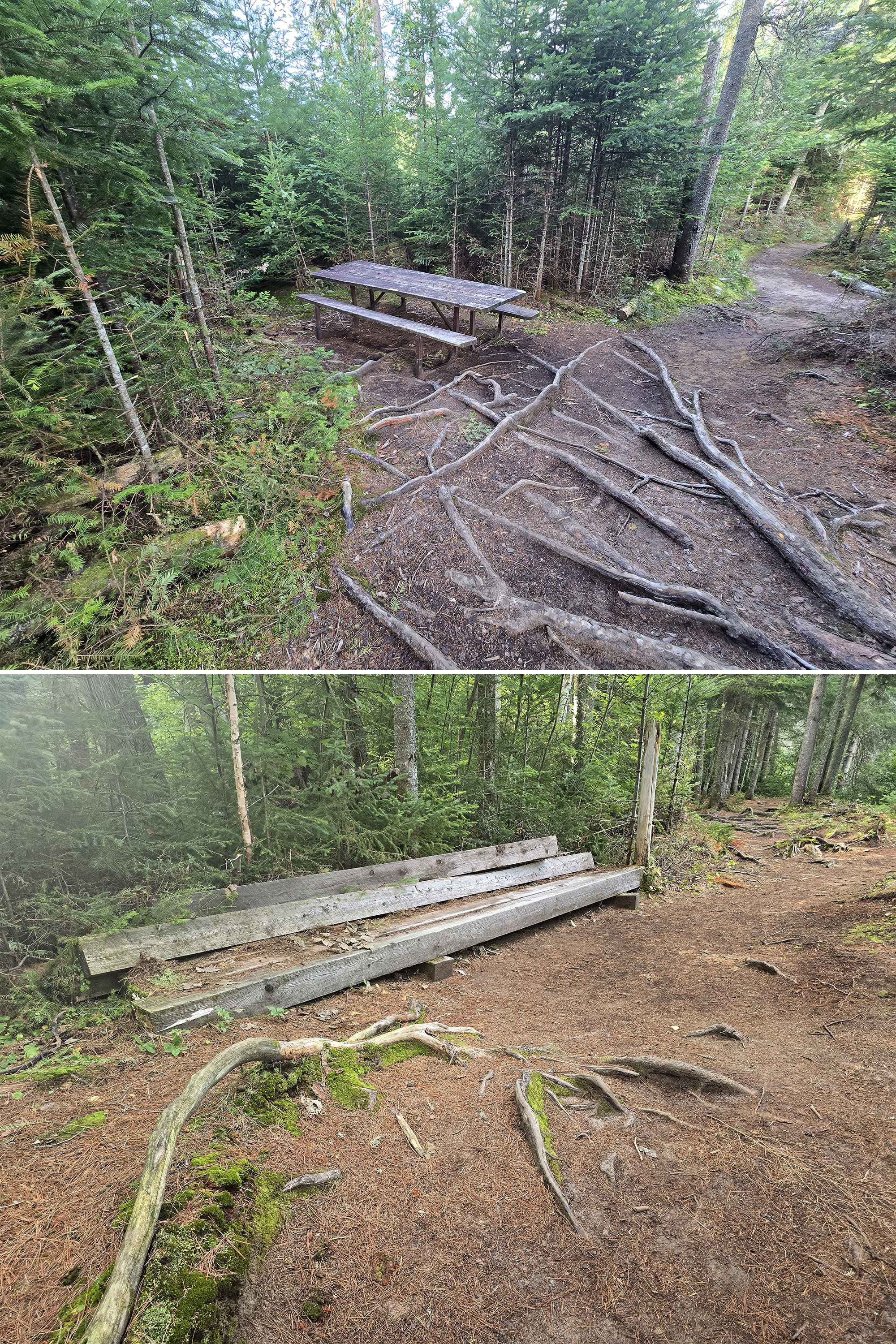
There is a single picnic table along the path - at marker #6, about 1.15 km in.
Weirdly, it looks OLD - but we don’t remember seeing it in the winter! Maybe it was brought in, maybe it was covered in snow at the time - who knows?
Either way, the location isn’t terribly scenic. Nice enough, just not necessarily one I’d drag a picnic to, you know?
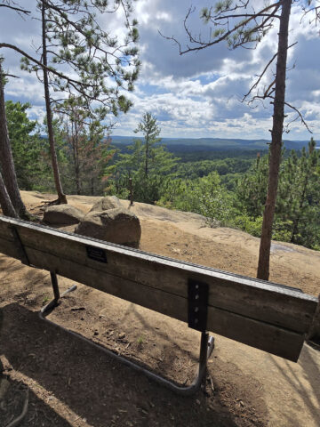
There’s also what appears to be an old bench at 1.4 km. It’s definitely seen better days!
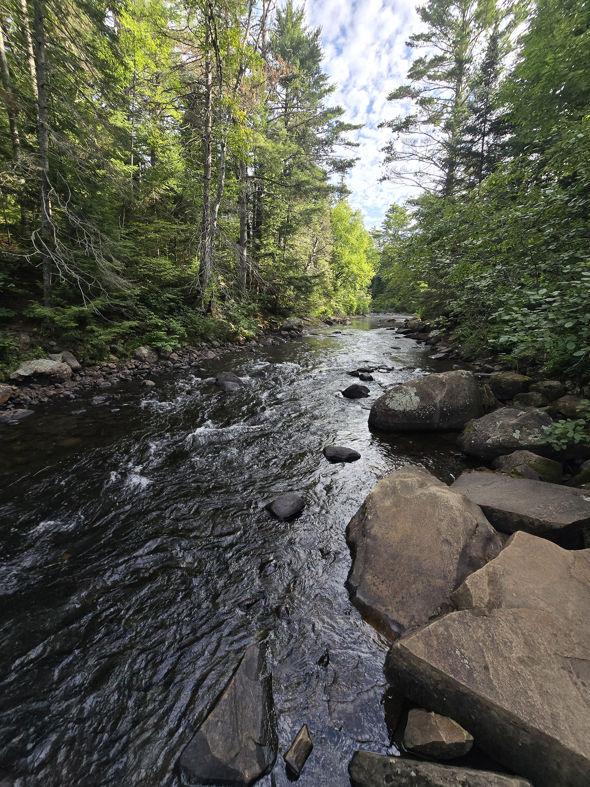
MUCH more scenic - and the rapids there are a lot more impressive than the ones on the Whiskey Rapids trail!

Connectivity
Cell phone coverage varies wildly in Algonquin Provincial Park, far more so than anywhere else we’ve been.
A spot may have fantastic coverage one day, then none the next. You may have fantastic coverage at one point on a trail, then none just ten metres later.
Carrier, how busy the area is, elevation, and the weather all seem to play a part.
We’ve had pretty decent cell service on this trail at times, and absolutely NO service at another time.
We can’t reliably tell you what the cell coverage will be like on this trail, as a result. Our best advice is to assume there will be no cellular coverage, and plan accordingly.
Note: We can say that the most reliable place we’ve found for cell coverage in Algonquin PP has been the Visitor Center Parking lot. Also, there is wifi available inside the Visitor Centre itself.
West Gate is a lot closer, though, and also pretty good for cell service - USUALLY.
Miscellaneous
A couple things to note:
1. As mentioned previously, access to this trail has been - at least in the last few years - INCREDIBLY seasonal. It’s gated over the winter, and remained that way well into spring, 2026.
In August 2026, we noted the trail diversions - I wonder if this could be the reason for the extended closure this year?
I haven’t seen any information about that, so I’ll just say that if you’re visiting in the Spring or Fall, I’d consider any plans to do the Whiskey Rapids Trail to be somewhat tentative.
2. If you have a problem with spiders, I would recommend waiting until later in the day to do the trail.
We did it first thing in the morning on an August weekend, and the spider webs spanning the first half of the trail were pretty wild at times.
This was mostly from the point where the trail first comes in view of the water, until you turn away from the rapids to go back to the trailhead.
That said.. There were NO mosquitos on that first leg of trail... and there were a fair number of them on the back half!
Just be sure to have sturdy hiking boots, with a good grip. A walking stick wouldn’t hurt, either - that initial downhill section can be slippery!
4. On that note - the same advice mostly applies in summer, too. I’d add “and waterproof” - there were a few sections of trail that were pretty swampy.

Share the Love!If you’ve made one of our recipes, be sure to take some pics of your handiwork! If you post it to Bluesky, be sure to tag us - @2NerdsInATruck, or you can tag us on TikTok, if you’re posting video. We're also on Pinterest, so you can save all your favourite recipes and park reviews to your own boards! Also, be sure to subscribe to our free email newsletter, so you never miss out on any of our nonsense. Well, the published nonsense, anyway! |
Activities
Some information on the various things you can do, while hiking the Spruce Bog Boardwalk Trail at Algonquin Provincial Park:
Hiking
We’ve walked this trail many, many times!
As a note, the photo sets are all done chronologically, but don’t necessarily line up with the commentary, below. WAY too much effort to try and fit the photos to the text!
The trail starts out in deep forest - there’s not a lot of light coming through the trees in the summer, and that remains the case for the bulk of the trail.
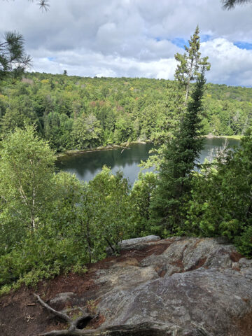
The trail snakes along the top of a cliff, kind of zig zagging your way down from high ground, to almost water level.
This is by far the most difficult section of the trail - there are a TON of roots, all twisted over each other. If you have any balance issues at all, we definitely recommend a walking stick, here!
This section was actually much easier to do in the winter, as the snow packed in between the roots and smoothed it all out!

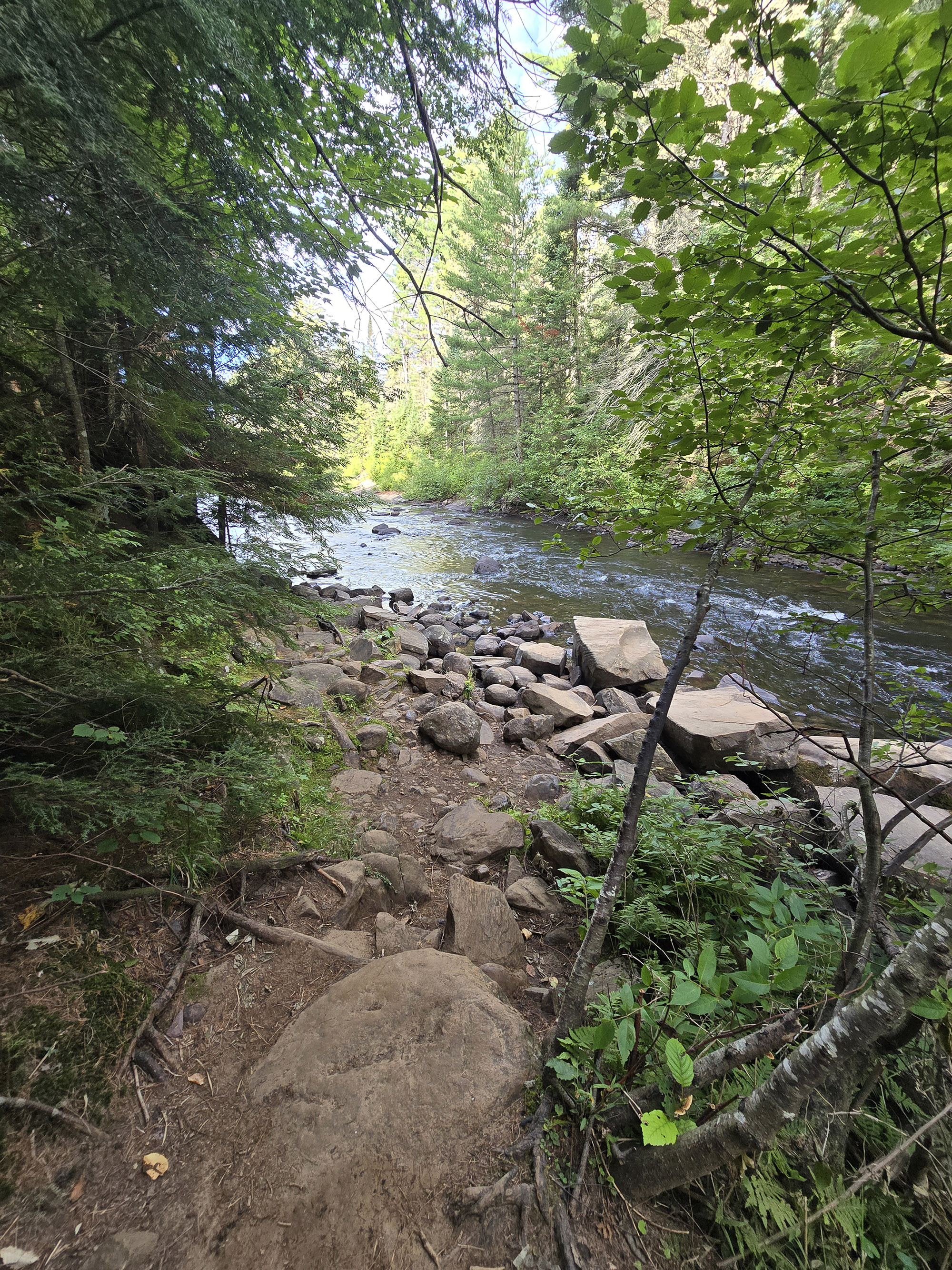
Almost immediately, there’s a steep trail offshoot that will take you down to the water’s edge.

These are all pretty short - maybe 5-10 metres, tops.

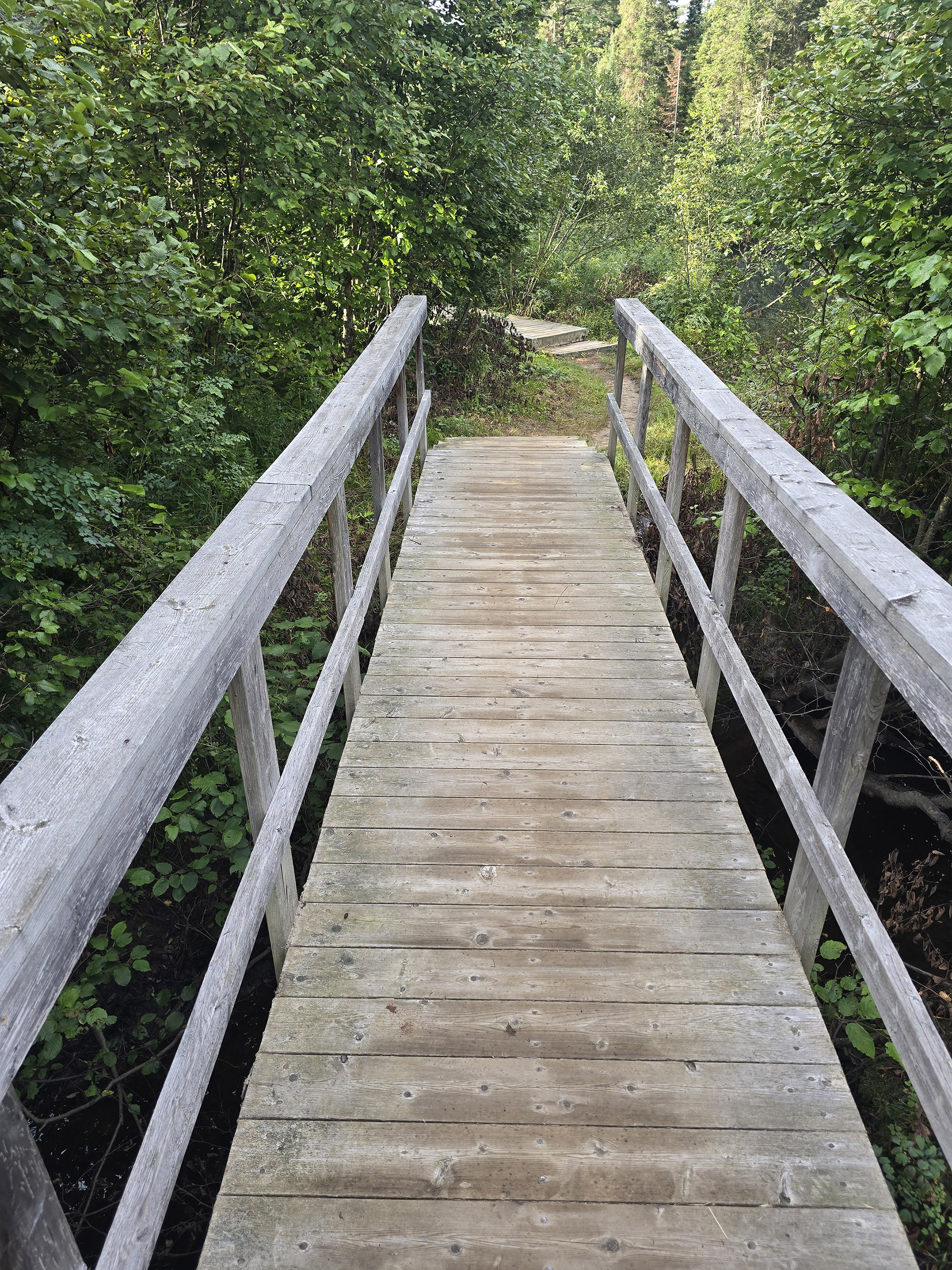
Just over 600 metres in, you come to a cute little footbridge - the first of a few - before heading up a few steep, narrow steps.

Just over a km in, you start to get more roots to walk over. The ground is still mostly level here, it just becomes a little more difficult to walk over.
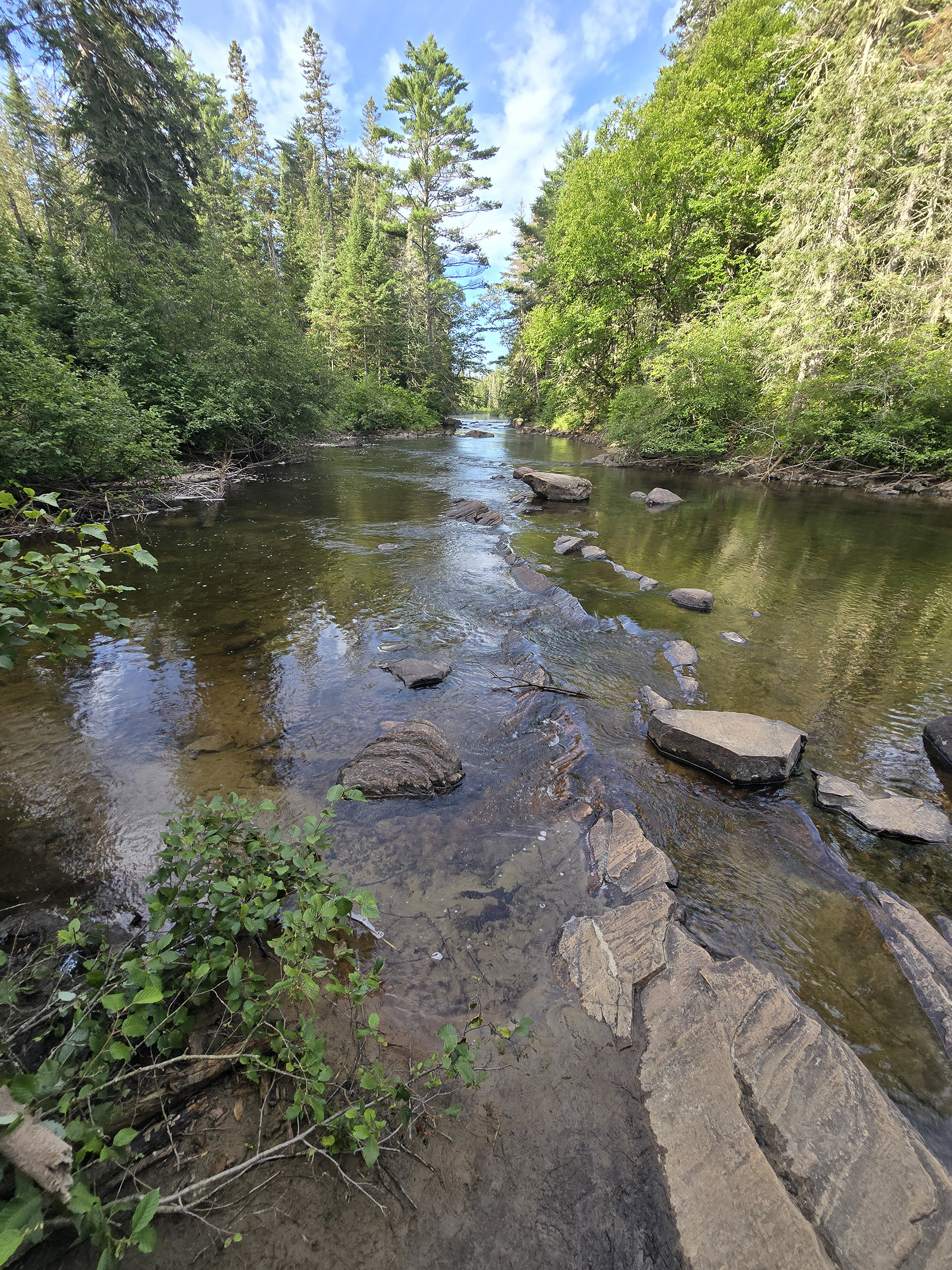
At about 1.43 km, you come to your first view of Whiskey Rapids.

For being the feature the whole trail was named after, they’re just... really little.
Maybe we’re spoiled by Oxtongue River-Ragged Falls Provincial Park nearby, but really... even the rapids below Tea Lake Dam are WAY more scenic!
Anyway, you’ll get a few glimpses of the rapids for a little while, then come alongside them around 1.52 km in - at signpost #8.

From that point, it’s a straight shot back to the parking lot. There are a couple little boardwalk sections, but everything is under the same - fairly homogenous - forest cover.
The trail is mostly wide, flat, and well-packed, with very few - small - roots along the way. A super easy walk through the woods - it lulls you into a false sense of security!

It doesn’t sound like much, but oooof... my back was already making unhappy noises by the time I got back to it, so it was ROUGH for me!
Once it levels out again, though, that’s it - really flat easy trail back to the parking lot.
As a note - the trail distance listed is definitely underestimated. Without taking any of the offshoots, the trail came to 2.47 km from start to finish, per MapMyRun.

Birding, Wildlife, and Nature
As with most part of Algonquin, the birding and wildlife conditions will vary from season to season, and based on the weather.
In the winter, all we saw or heard were Black-Capped Chickadees and Nuthatches. This was mostly near the rapids, most of the trail was pretty quiet.
Our visit in August 2026 was MUCH better for birding - sort of.
We heard a LOT of cool birds - and saw some - but for the most part, they stayed up in the tree canopy, or across the river from us.
All told, we heard and/or saw: American Robin, Black-Capped Chickadee, Blue-Headed Vireo, Canada Warbler, Cedar Waxwing, Common Raven, Dark-Eyed Junco, Pileated Woodpecker, Pine Siskin, Red-Breasted Nuthatch, Red Crossbill, Red-Eyed Vireo, and White-Winged Crossbill.
August was also a FANTASTIC time for looking at mushrooms along the Whiskey Rapids Trail, though!

As it turns out, it’s a parasitic wildflower - the Ghost Pipe. It doesn’t have the ability to make chlorophyll though, so it taps into fungal networks underground to basically hijack its food!

Now, I’m NOT a fan of spiders, but some of these webs were fascinating!
There were a few that were “perfect” in terms of radial symmetry. There were some that had an interesting structure I’d never seen before - they looked almost like a suspension bridge, over a mass of solid webbing below!
At one point, there was a pine tree that was almost completely encapsulated in spider web - with a broken branch hanging off it.
As it turned out, the branch wasn’t even attached to the tree - the spider web was the only thing keeping it attached!

Educational & Cultural Opportunities
While there are no educational signs on the Whiskey Rapids Trail, you can pick up a Friends of Algonquin trail guide at the trailhead.
It’s free to use and return, or you can keep it for $0.50 - there’s a coin collection pay tube thing at the trailhead.
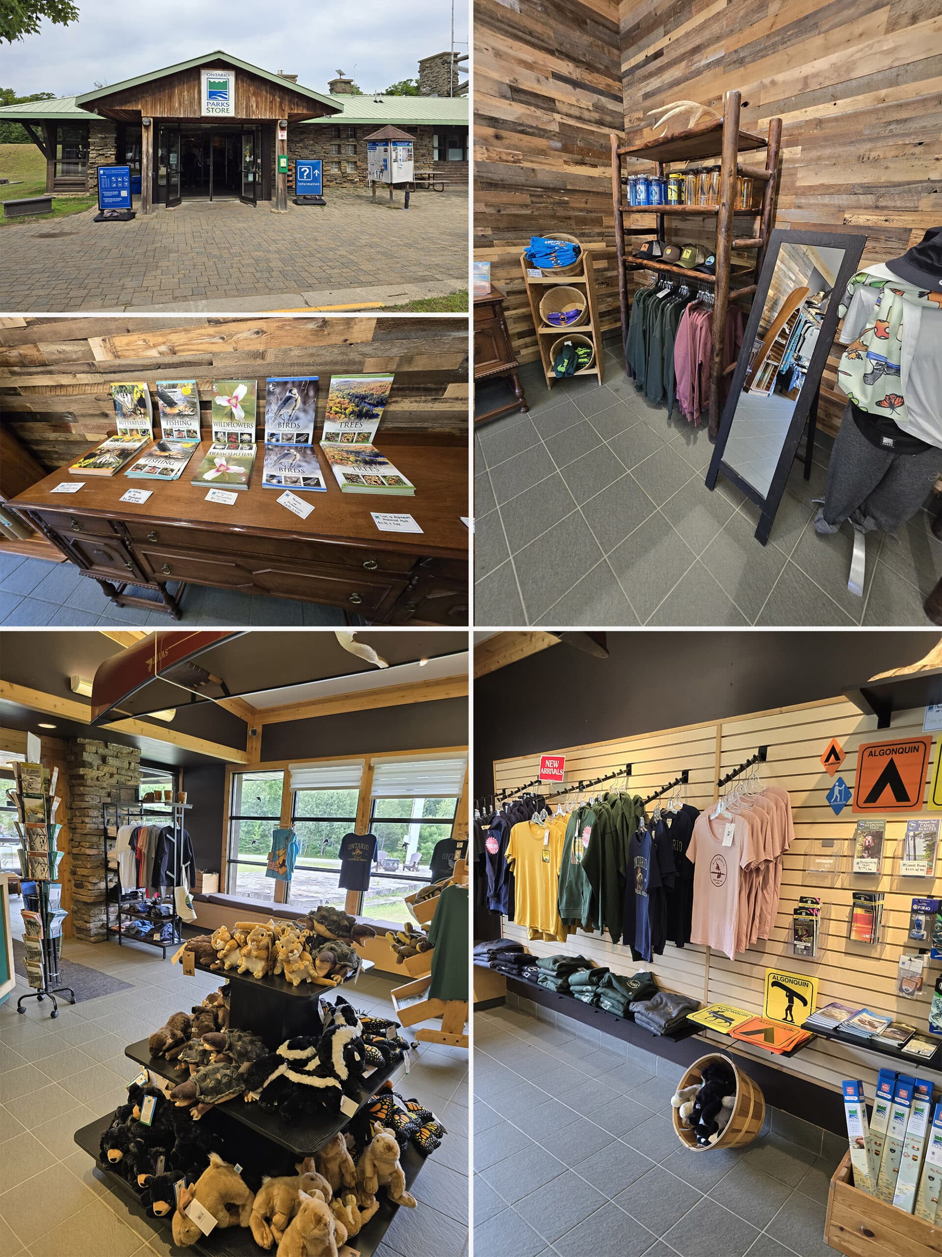
Alternately, the guides are available for purchase at the visitor centre, and at the gates.
These guides are amazing educational accompaniments to the trails in Algonquin Provincial Park, teaching about the geology, flora, and fauna you might see on your hike, as well as some of the history of the area.
There are several numbered signposts along the trail, each corresponding to a numbered commentary section in the guide, going into more depth about that specific location.
The guide also includes information about the elevation changes throughout the trail.
All around, a great resource to refer to while you’re on the trail!

Final Thoughts
So... this is going to be a bit of a weird summary. How we view the trail - as is - is a bit different than we would, had we not gone in the winter.
I think we did ourselves a bit of a disservice by having our first exposure to the trail being under absolutely magical, surreal conditions. Nothing could ever possibly compare to the way things looked that day!
“Perfect!” makes for some big shoes to fill!
That said, it’s a nice trail. With the percentage of deciduous trees we saw along the way, we think it would likely be especially nice in the fall, during peak fall leaves colour.
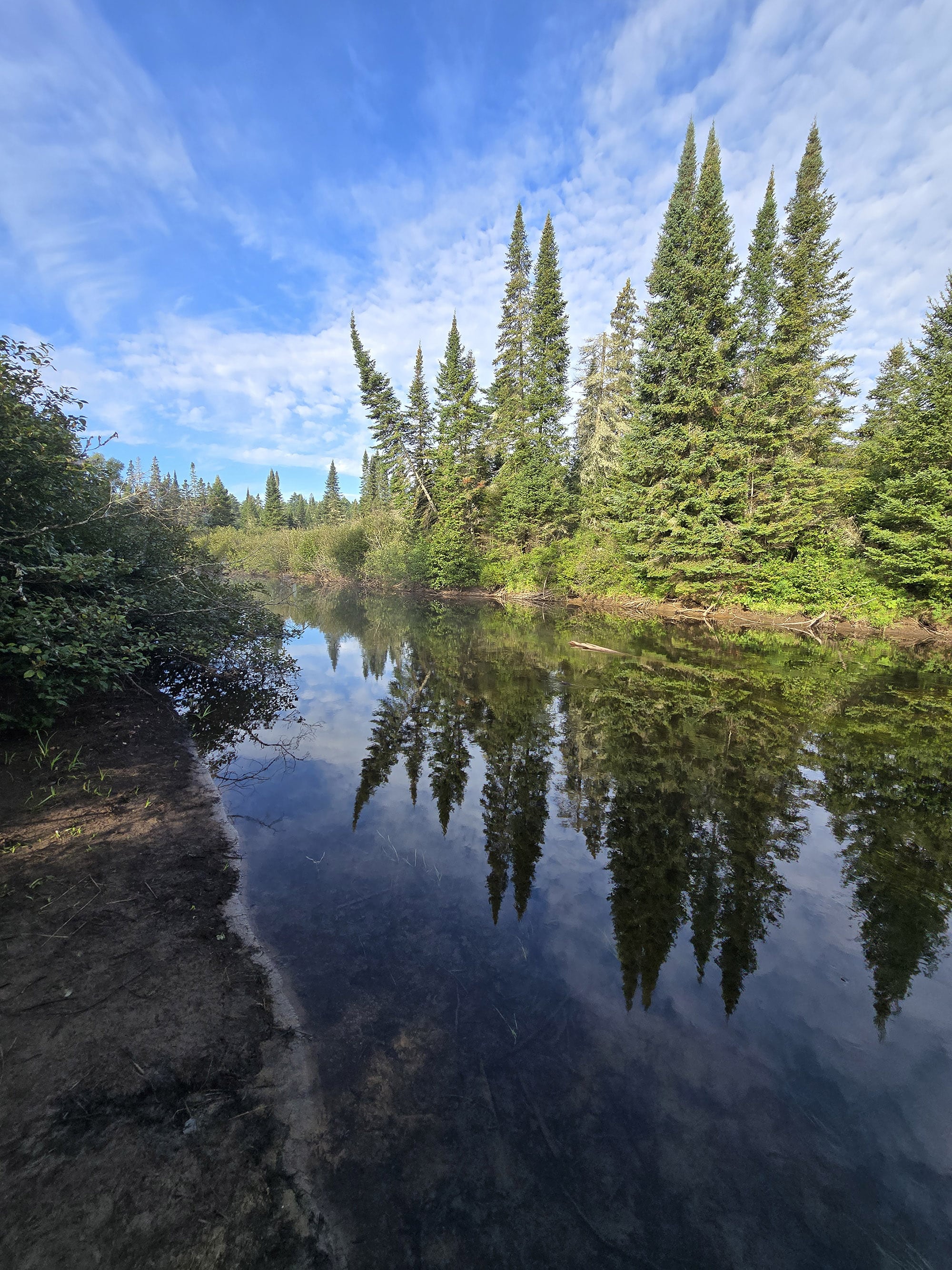
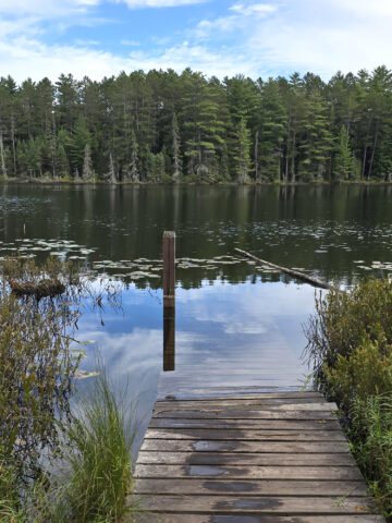
Whatever season you do it, though, it’s a lovely hike, with a lot of great water views along the way. Definitely a worthwhile trail to do, if you can handle the terrain!
More Algonquin Provincial Park Trail and Campground Reviews
Want to read some more of what we have to say about the campgrounds and attractions in Algonquin Park?
Check out our Algonquin Provincial Park Mega Post, or any of the links below for even more in-depth info:
Algonquin Provincial Park Campground Guides / Reviews
Achray Campground, Algonquin Provincial Park
< a href="https://2nerdsinatruck.com/brent-campground/">Brent Campground, Algonquin Provincial Park
Canisbay Lake Campground, Algonquin Provincial Park
Kearney Lake Campground, Algonquin Provincial Park
Kiosk Campground, Algonquin Provincial Park
Lake of Two Rivers Campground, Algonquin Provincial Park
Mew Lake Campground, Algonquin Provincial Park
Pog Lake Campground, Algonquin Provincial Park
Raccoon Lake Campground, Algonquin Provincial Park
Rock Lake Campground, Algonquin Provincial Park
Tea Lake Campground, Algonquin Provincial Park
Whitefish Lake Campground, Algonquin Provincial Park
Algonquin Provincial Park Trail Guides / Reviews
Barron Canyon Trail, Algonquin Provincial Park
High Falls on York, Algonquin Provincial Park
Provoking Falls, Algonquin Provincial Park
Interested in exploring campgrounds beyond Algonquin Park? We've got a huge - and ever-growing! - list of them here: 2 Nerds in a Truck Campground Reviews.
We also have posts on Ontario Waterfalls, other Places to See, and a ton of Camping Recipes to cook up, while on your adventures!
Thanks for Reading!If you loved this post - or have any questions about it - please leave a comment below! We'd also love it if you would consider sharing the link on social media! |
Leave a Reply