Mono Cliffs Provincial Park is a gorgeous day-use park, just north of Toronto. Renowned for its hiking, here's everything you need to know!
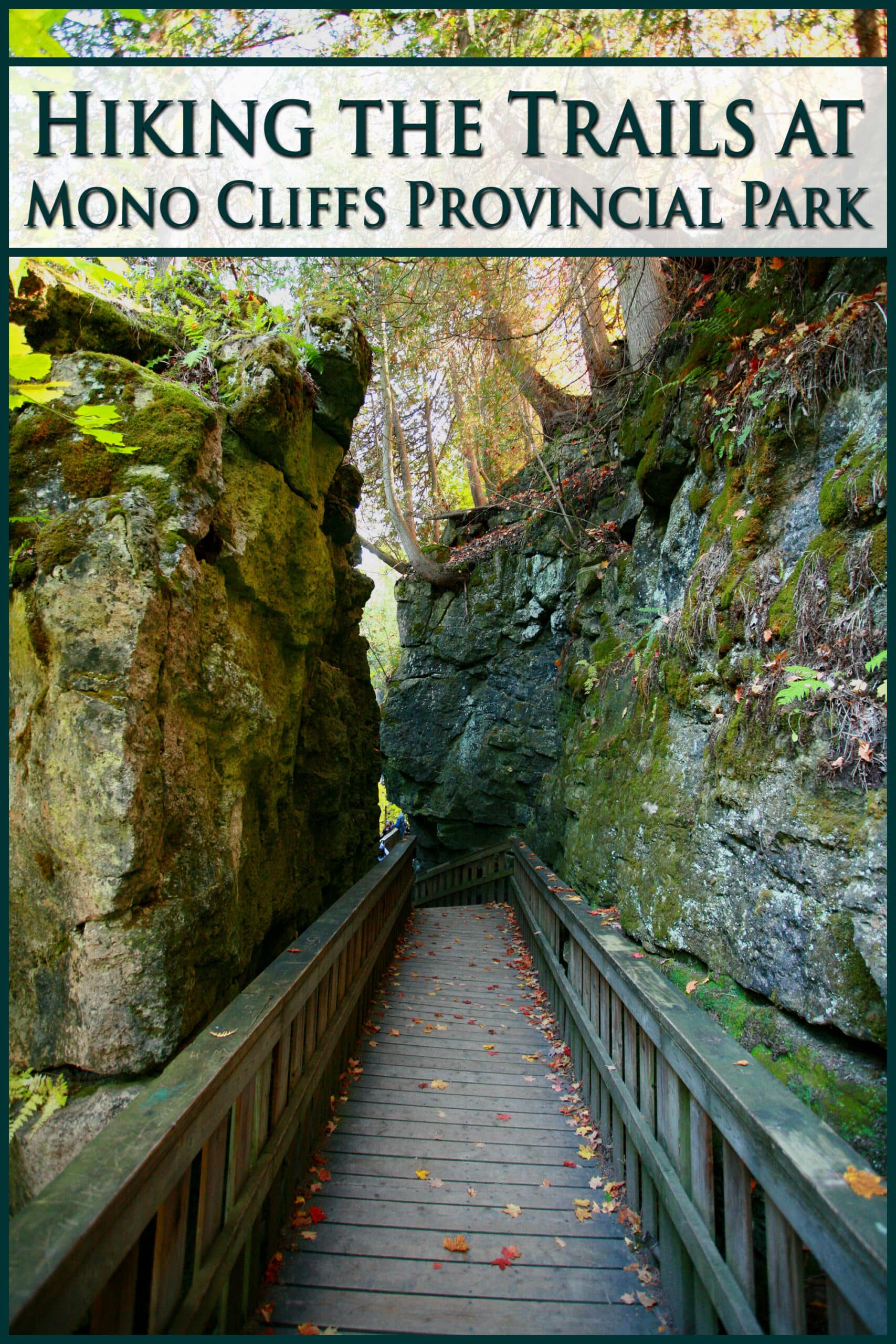
This provincial park is a beautiful place, just outside the rural town of Mono. It’s a relatively short drive from downtown Toronto, and just over an hour for us, here in Hamilton.
It’s a very special place for me, as it was my first big “reward” for all of my hard work rehabilitating my feet, after being crippled by an antibiotic back in 2020.
As I gained back more and more mobility, we started checking out local Conservation Areas and such, relishing every moment of my newfound freedom.
I’d seen Mono Cliffs on Instagram and read about in multiple blog entries about popular parks and sights to be seen.
The whole time I’d spent couch bound, I looked forward to the day I’d be able to walk among the rocky cliffs of the Niagara Escarpment that were SO gorgeous in every photo I’d seen!
About Mono Cliffs Provincial Park
Mono Cliff Provincial Park is located in southern Ontario, part of the Niagara Escarpment Parks System , as well as the escarpment biosphere reserve.
It’s a popular spot for hikers and Instagrammers alike, for good reason - it’s full of all kinds of interesting things to see, making for a beautiful hike.
This park - which is over a section of the picturesque Bruce Trail system - is known for its beautiful forest, a lookout point, and - especially - for its wooden staircase and boardwalks along the cliff face.
Along the diverse hiking trails there are crevice caves, rock formations & talus slopes, 30 meter cliffs, open meadows, a small lake, at least one pond, and numerous forests with ALL kinds of wild plants.
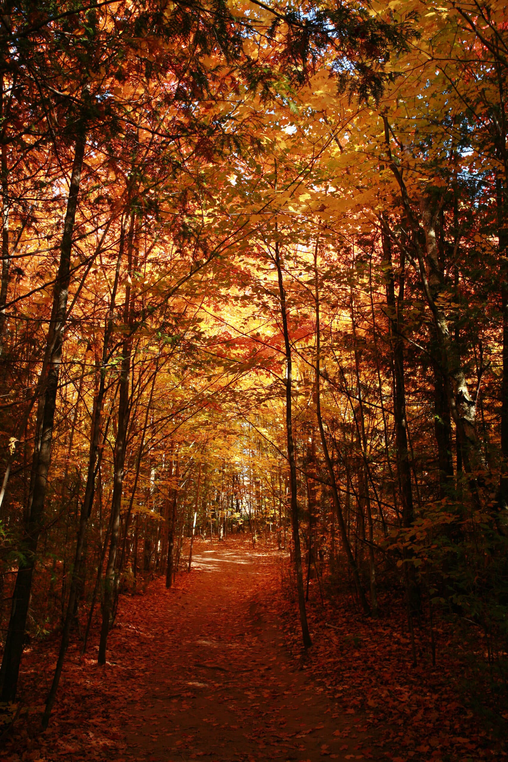
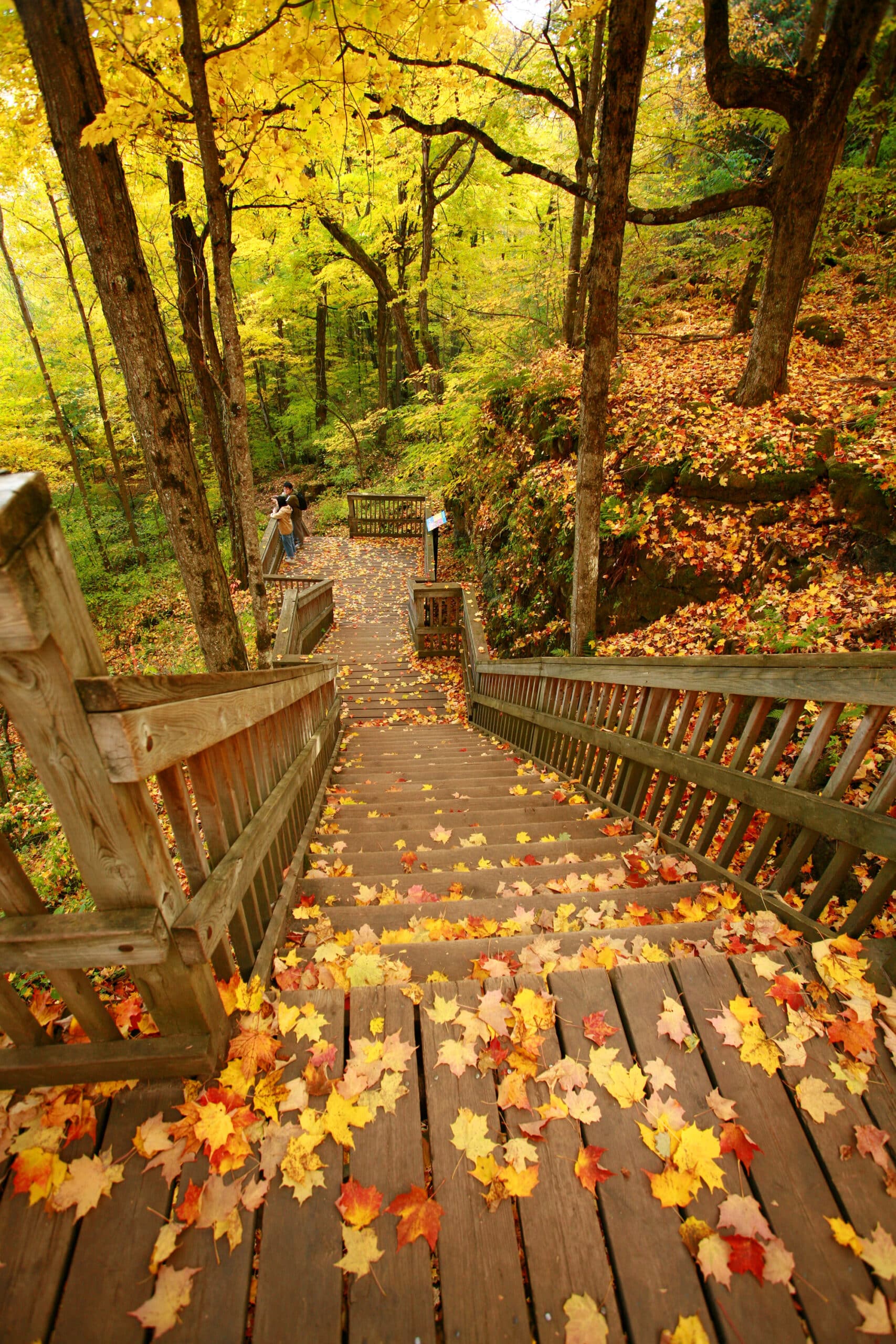
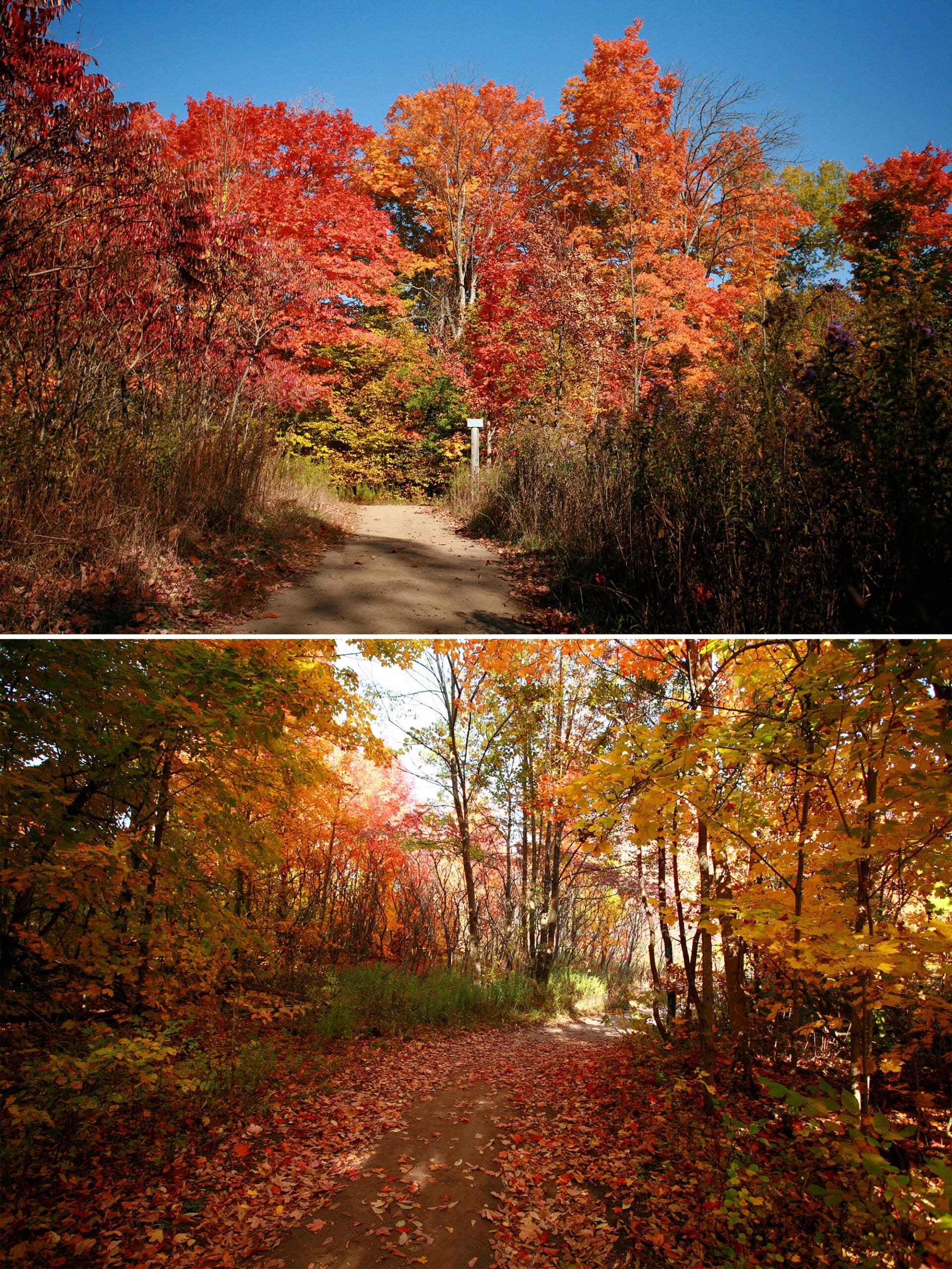
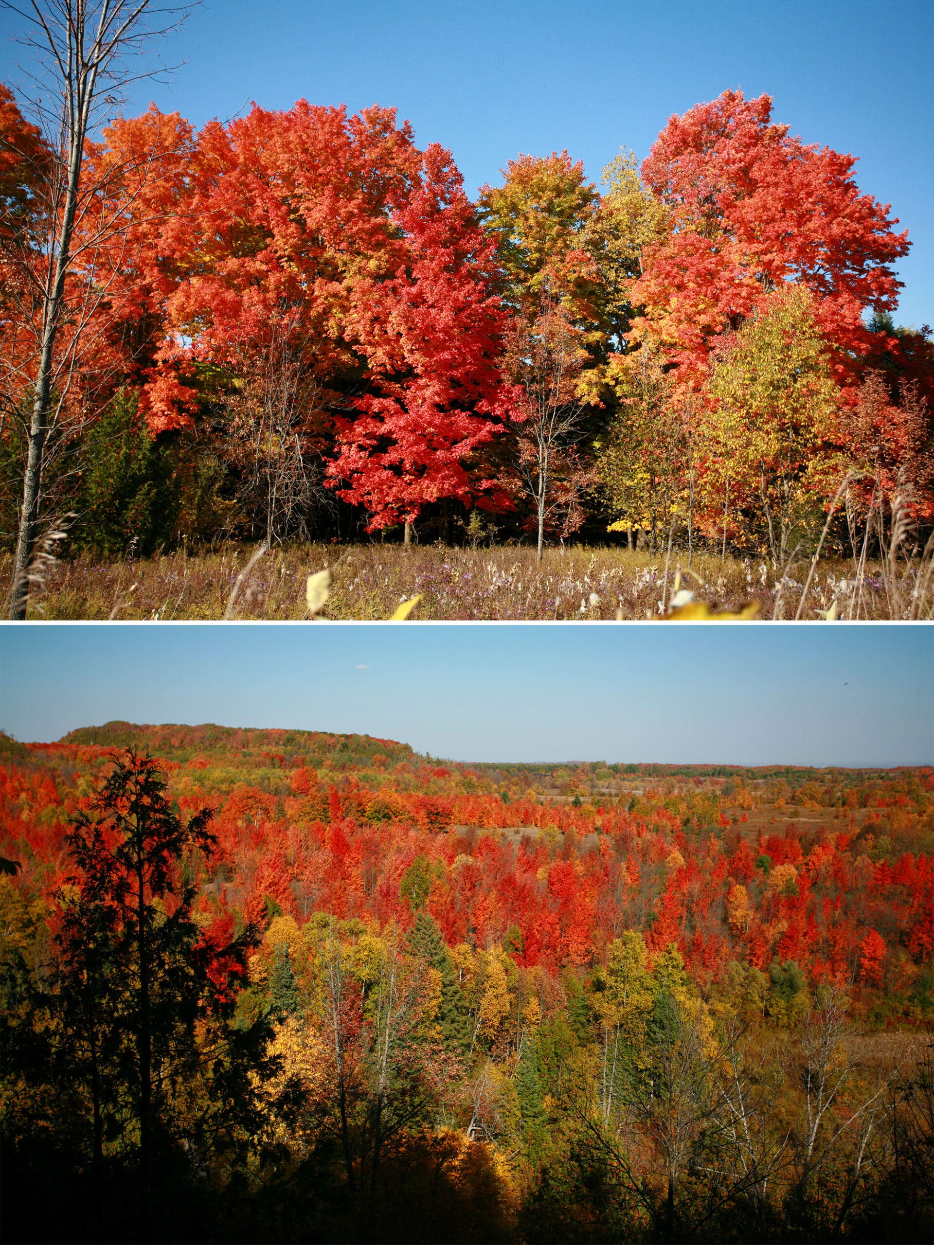
We saw ferns, trillium, and moss the first time out, returning later to see the fall leaves later in the year.
It’s open year round - day use only - for walks and hiking, as well as for horseback riding and cycling.
The Basics:
Location Name: Mono Cliffs Provincial Park
Address: 795086 3rd Line EHS, Shelburne, ON L9W 5Y2
Website: Ontario Parks - Mono Cliffs
Price: Ontario Provincial Parks uses a pricing matrix across all their parks. See 2025 Day Use Fees for more details.
Reservations: Ontario Parks Reservations
Park Classification: Natural Environment
Season: January 1, 2026 to December 31, 2026
Logistics
Some of the information you’ll need
Registration
Your park use permit and parking fee are one and the same, and it is charged by the vehicle - not by the person.
You have the option of booking day-use visits as a set 4 hour block ($8.50), or full day permits ($18.00). Your parking and use is only for during the time slot you book.
Reservations can be made through the Ontario Parks Online Reservations System, or by calling 1-888-ONT-PARK (1-888-668-7275)
We did see a machine in the parking lot for paying on the spot, but I recommend booking ahead. When the lot is full, no one else is supposed to enter the park.
Also, internet can be an issue. Best to show up with parking fees paid and your daily vehicle permit arranged, IMHO.
The park has a Twitter Account that they used to update people about the parking situation on weekends with, but it seems they’ve stopped that practice since our last visit.
Getting There
Mono Cliffs Provincial Park is located 14 km northeast of Orangeville, and 4 km east of Mono Centre.
The main entrance of Mono Cliffs Provincial Park and parking is located at 795086 Third Line EHS, Mono.
We used Google maps, and found the directions to be accurate (not always the case!).
In our case, this meant taking the QEW to 403/410, up towards Brampton, taking the Mayfield Rd exit.
Eventually, we turned right on Charleston Side Rd / Peel Regional rd 24, before going another 17 km along Airport road / Peel Regional Road 7.
Left on Dufferin County Rd. 8 / Mono Centre Road, a few km more, a right on 3rd Line EHS, and the park was soon on our left
Due to the number and distance of the trails - and the time it took to get there - I’d definitely look at making a day trip of our next visit to Mono Cliffs.
NOTE: After visiting the park a few times, I noticed that the Schitt’s Creek Motel was RIGHT THERE along our path, maybe a couple minutes off the road.
308399 Hockley Rd, Orangeville, ON L9W 2Z2, btw, if you want to avoid making the mistake that we did!
Parking
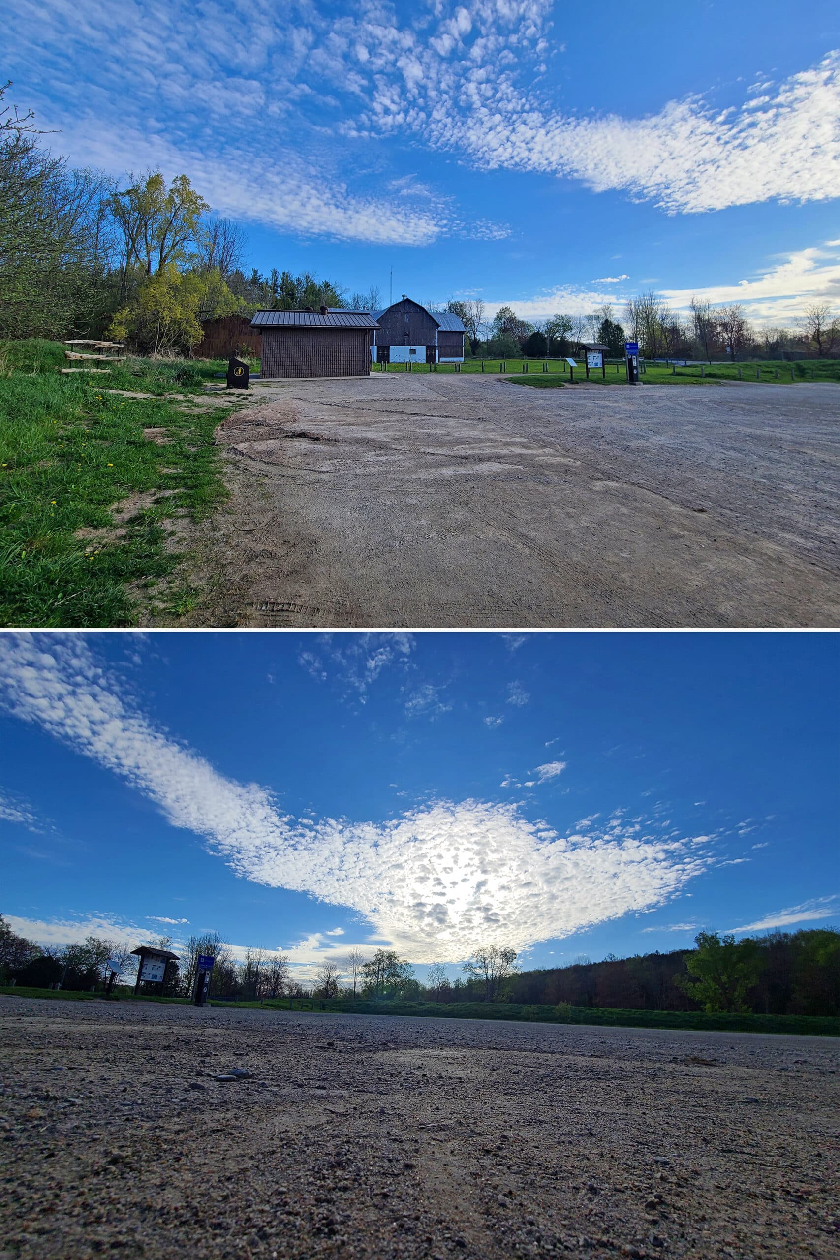
We always park in the main parking lot, which is also the main access point for the trails - it’s just inside the park entrance.
The large parking lot is usually pretty much empty when we arrive early in the morning, but was definitely filling up by the time we leave.
I would imagine that parking must be hard to come by later in the day on weekends, especially during peak season.
Washrooms
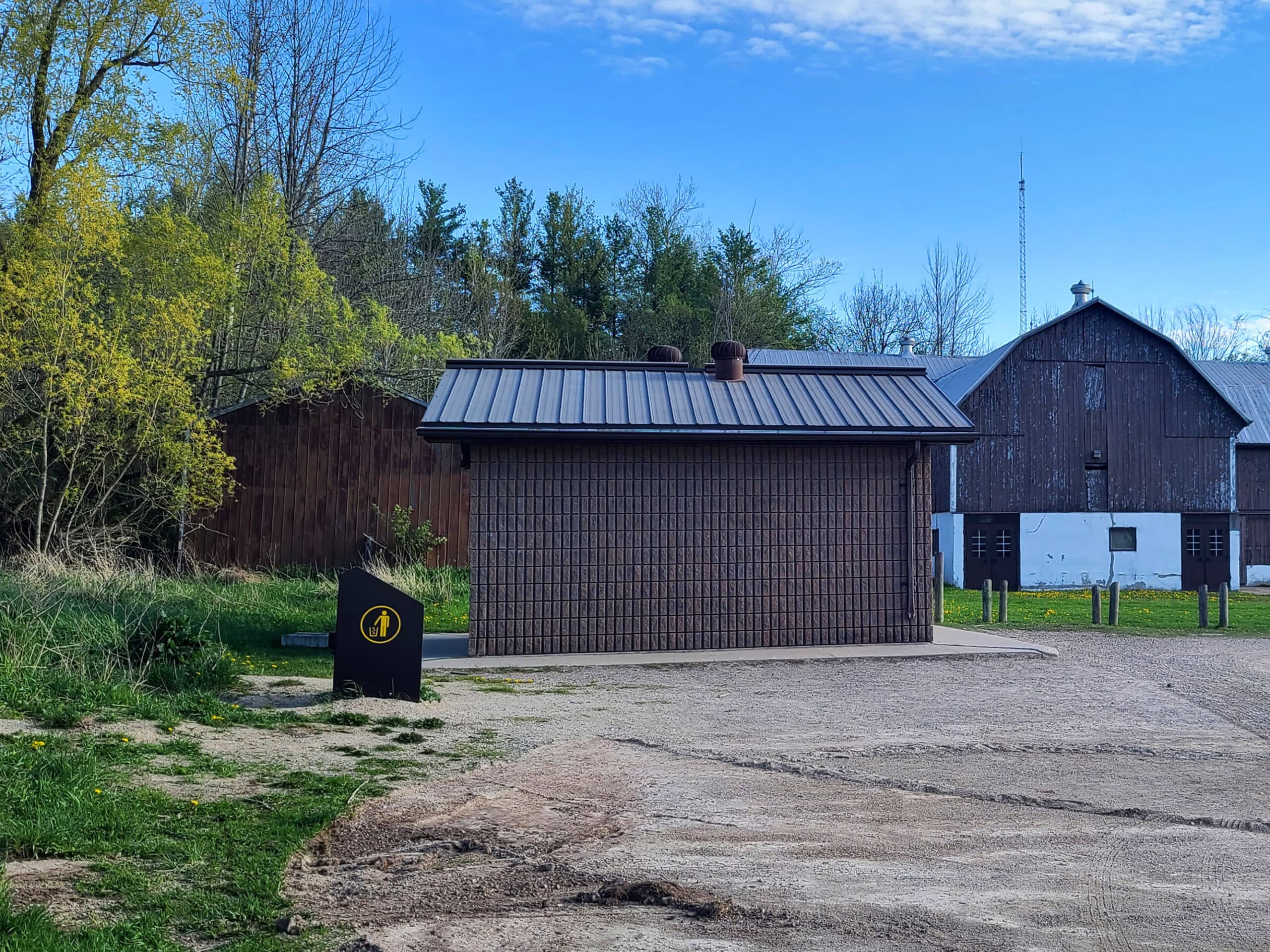
There is a small building with individual outhouse style stalls in the main parking lot. They were not in great shape on any of our visits, at least the ones facing out to the road.
As we walked up the trail on our first trip, I looked back towards the parking lot and noticed that there were more stalls on the back side of the building.
We commented on this to each other, wondering if they’d be less likely to be used, and in better shape. Nothing about the front of the building indicated that there were more stalls around back, so far as we saw.
We did use the back of the building ones on the way back to the car, and they did seem to be in marginally better condition. So, we’ve used those ones ever since.
That one was in even rougher shape. I actually yelled “WTF!?” when I tried to get some TP and it was SOGGY - even though it was covered with a plastic shield.
SO gross. At least it entertained a couple that had materialized - unbeknownst to me - just in time for my exclamation.
Maps and Signage
The maps and signage are great in this park, for the MOST part.
Park Map
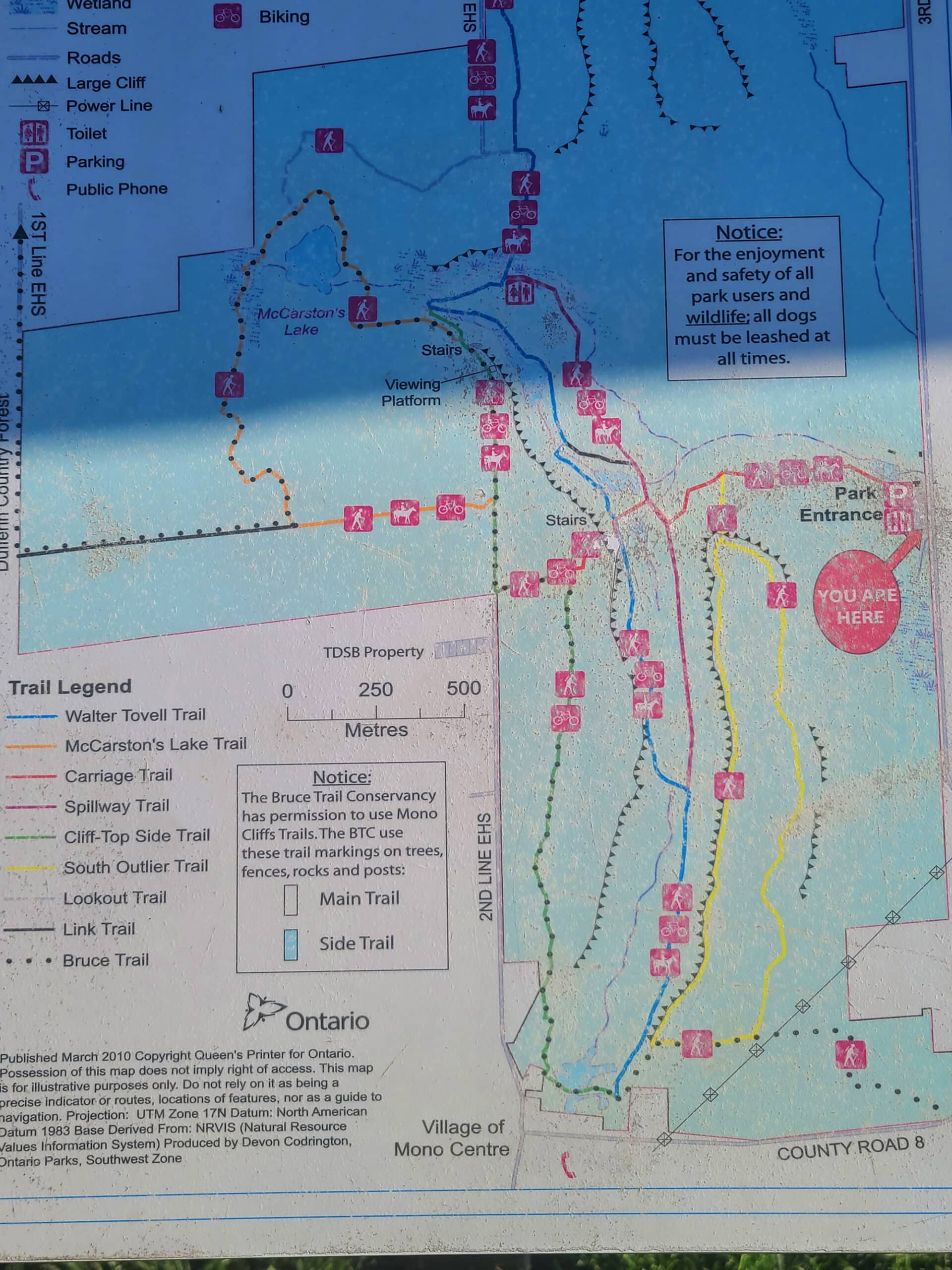
There’s a large sign in the parking lot with a park map - colour coded trails and all. I’m pretty sure it’s the same as the downloadable Mono Cliffs Park Map on the Ontario Parks site, but I’ve never actually taken a photo of it, to be able to confirm.
The trails are all colour coded by name, and have clear symbols to show what activities are permitted on each trail - hiking, cycling, and/or horseback riding.
My only real quibble is that it would be nice to have an indication of each trail’s difficulty, and maybe the distances marked. There IS a scale marker, but the trails aren’t very linear.
Signage
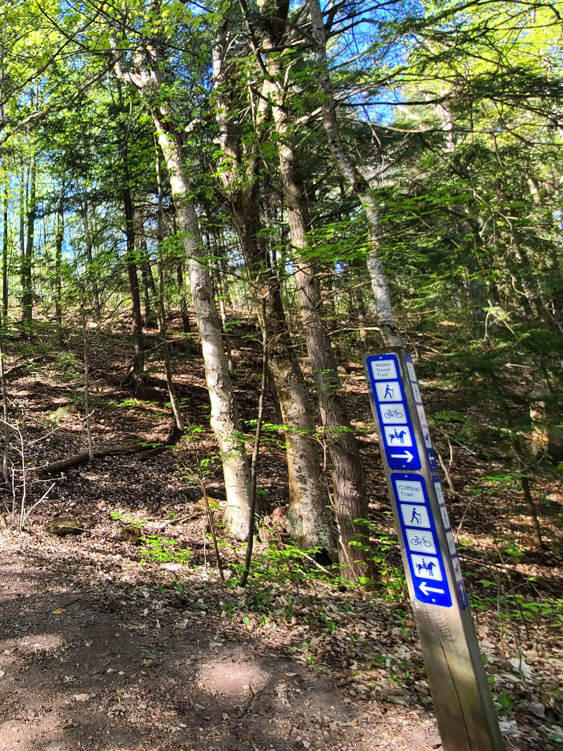
The signage along the trails is fantastic.
The Provincial Park signage clearly tells you what trail you’re on, and each juncture shows you where you’re going, and what activities are allowed on each trail.
There’s also some Bruce Trail Conservancy signage, on applicable trails.
Connectivity
It’s been almost 2 years (!!!) since our last visit, so even if I could remember what our connectivity was like, that situation may have changed by now.
I VAGUELY recall it being spotty... but it’s one of the few things I didn’t take notes on, back then!
Accessibility
I wouldn’t call Mono Cliffs Provincial Park accessible at all, at least not from the main entrance.
Maybe it’s different at one of the other trail openings*, but our walk started off with a very steep, very uneven trail.
There were sections of the walk that were flatter / more even, but that doesn’t matter much if you can’t get that far, IMHO.
If I’d been in a boot, or on crutches or anything... I really don’t think I’d have been able to get past the first 0.25km or so.
* I would expect anything “accessible” to be part of the main parking/entrance, though!
Pets
Dogs are allowed to walk the trails at Mono Cliffs Provincial Park, but must be leashed at a length of less than 2 metres, and picked up after.
Miscellaneous
- Bring lots of bug spray!
- There’s a small picnic area - with a handful of picnic tables - near the parking lot.
- Fires and alcohol are not permitted in the park, at any time. Bringing / using either can result in fines.
- Removing natural items (flowers, rocks, plants, mushrooms, etc) from Provincial Parks is prohibited.
- Going off trail may result in fines and/or a provincial offense notice. They REALLY want you to stay on the trails, for myriad reasons.
Share the Love!If you’ve made one of our recipes, be sure to take some pics of your handiwork! If you post it to Bluesky, be sure to tag us - @2NerdsInATruck, or you can tag us on TikTok, if you’re posting video. We're also on Pinterest, so you can save all your favourite recipes and park reviews to your own boards! Also, be sure to subscribe to our free email newsletter, so you never miss out on any of our nonsense. Well, the published nonsense, anyway! |
Entertainment and Activity
The Mono Cliffs Trails are a fantastic destination some outdoor adventures. Here's what you need to know about the numerous hiking trails in the park, and other ways you can enjoy them!
Hiking
The Mono Cliffs Provincial Park trails are a matrix of main trails and side trails, with some degree of overlap.
Speaking of overlap, a 6-kilometre section of the main Bruce Trail runs through the park - it includes a link trail, McCarston’s Trail, and part of the Cliff Top Side Trail, before kind of going off on its own.
Mono Cliffs Provincial Park was actually the park that inspired us to start using AllTrails for our walks, and LOVE it!
Not only does it show you where you are on the map of trails, you have the option of following trails that users have created - and have rated / commented on.
That’s especially cool for this park, as there are a ton of possibilities, given the layout of the park.
Anyway, here’s some more specific information on each of the hiking trails:
Carriage Trail - 1.3 km (Red Trail)
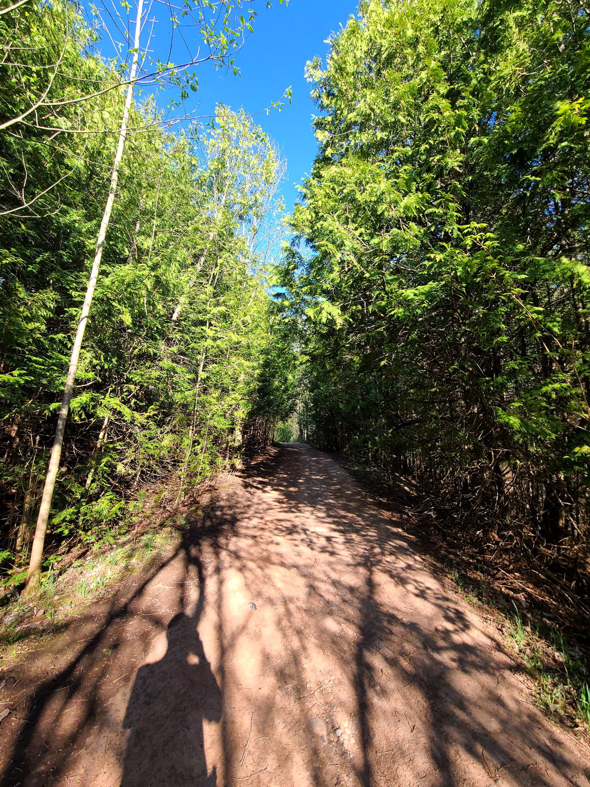
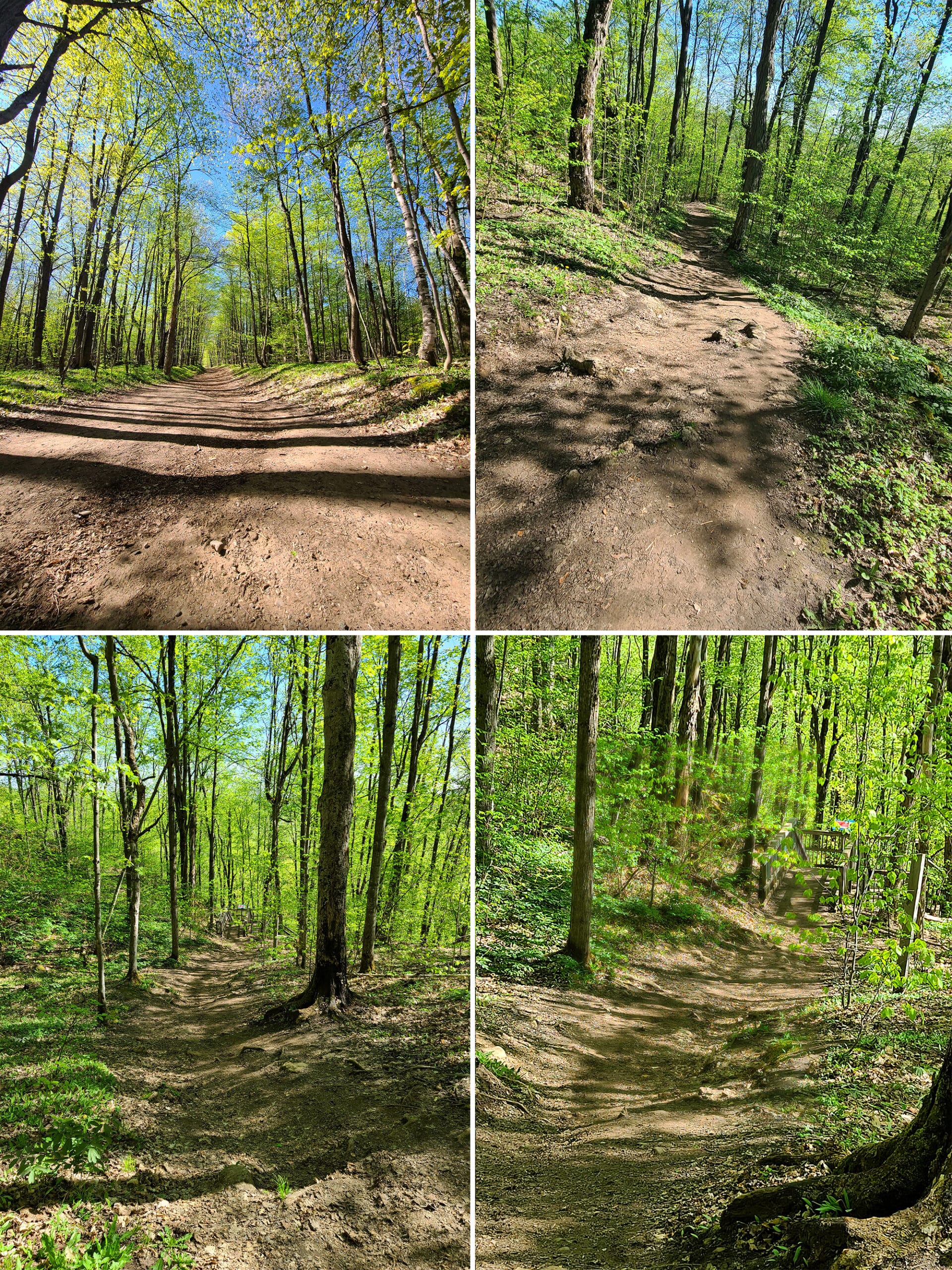
In order to get to any of the trails, you start with a short distance along the Carriage Trail.
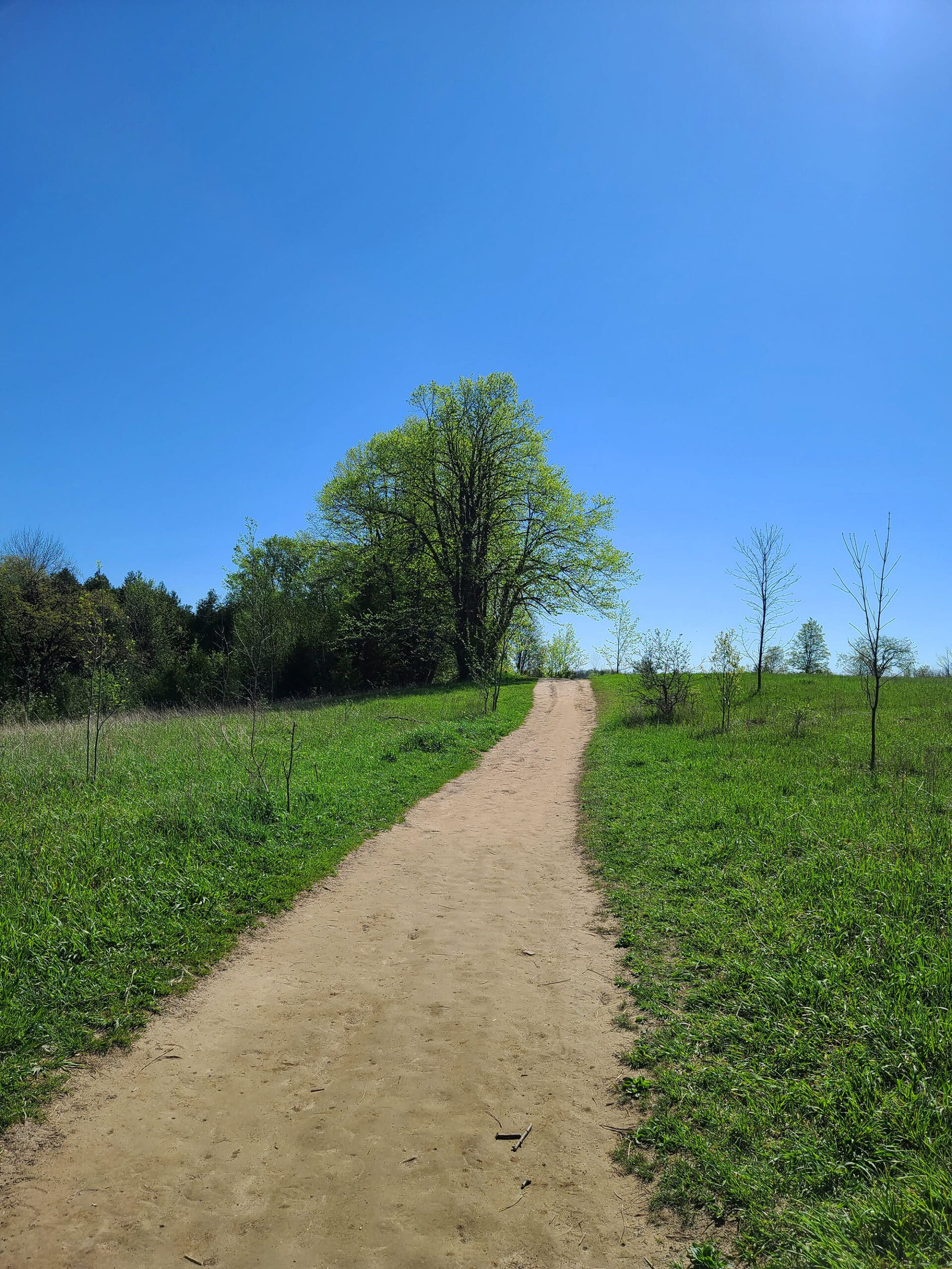
After a short - very steep - section through a wooded area, it opens out into a large open space. Our first time out, it definitely made me wish I’d brought more sun protection, it was BRIGHT.
Anyway, we generally turn right onto the Spillway Trail when we reach it, then come back via this trail, from the stairs off the Cliff-Top Trail.
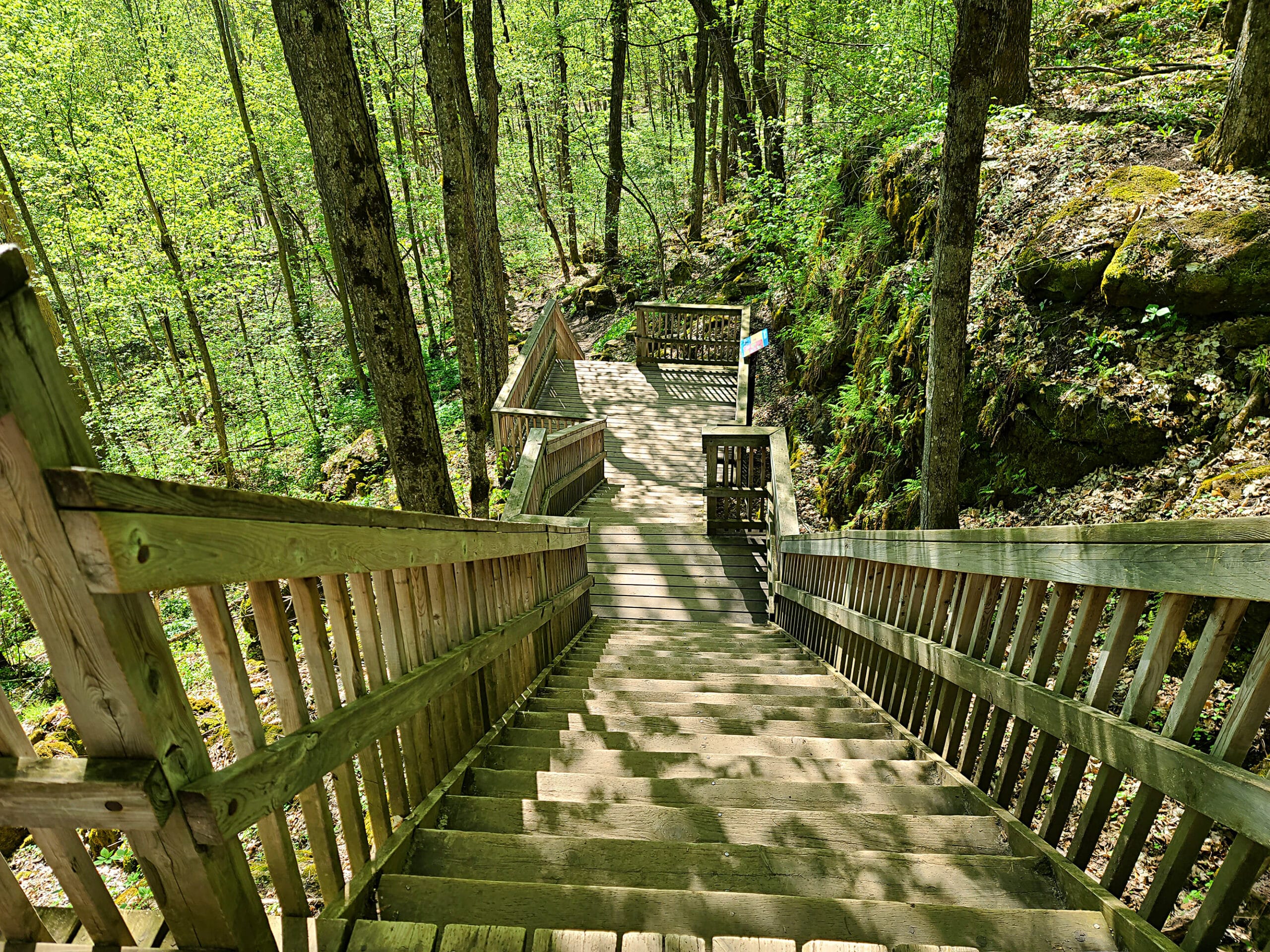
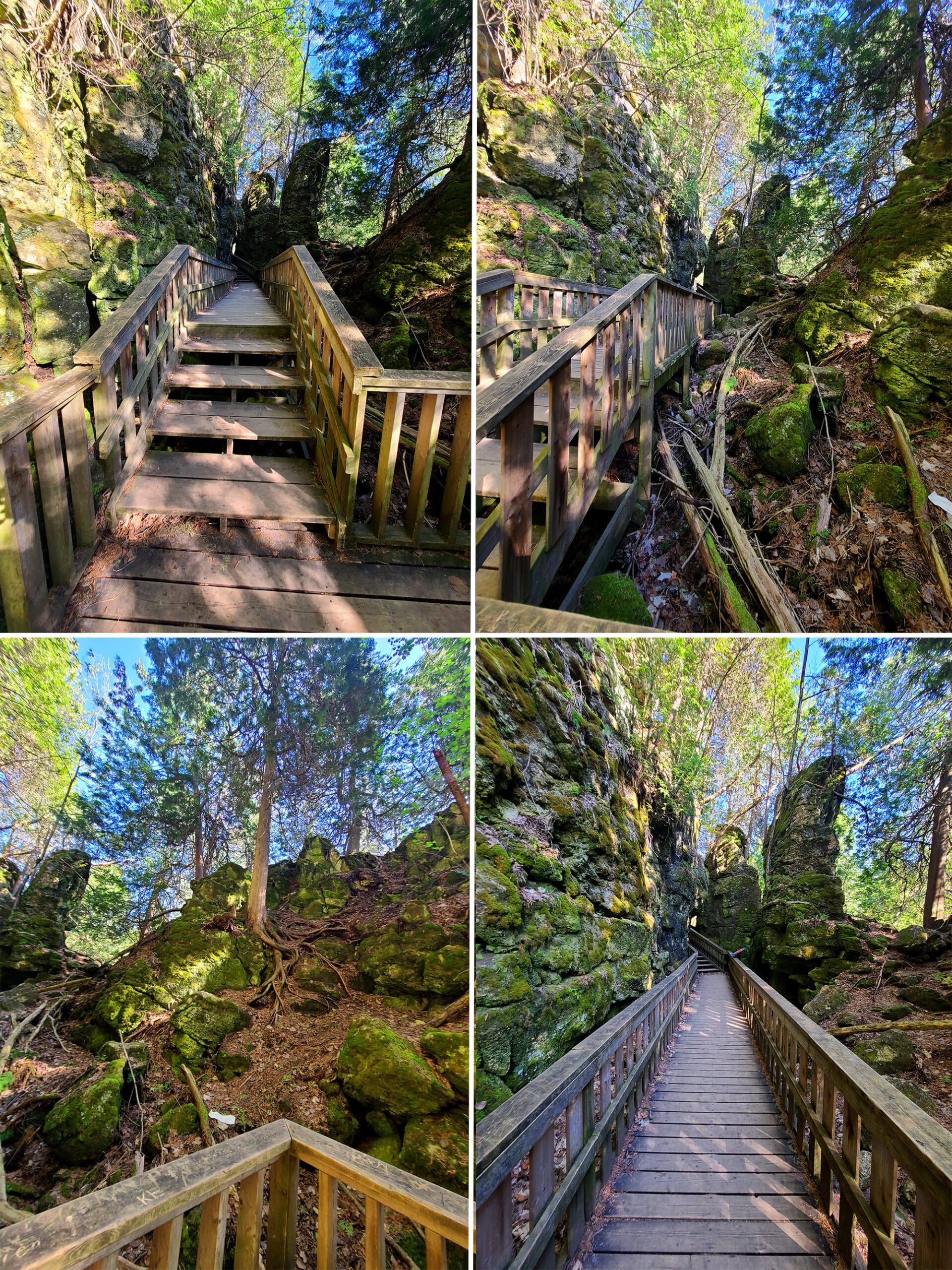
Once you reach the bottom of the stairs - past some prominent masses of rock - you’ve got to get down a fairly steep, rough trail with rock formations of its own.
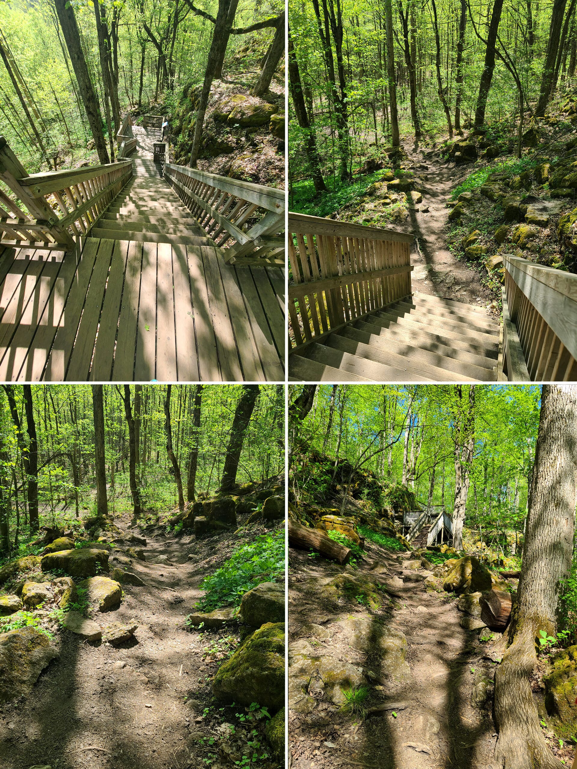
I will NEVER forget how triumphant I felt, going down that trail for the first time after a over a year of profound physical disability! What a rush!
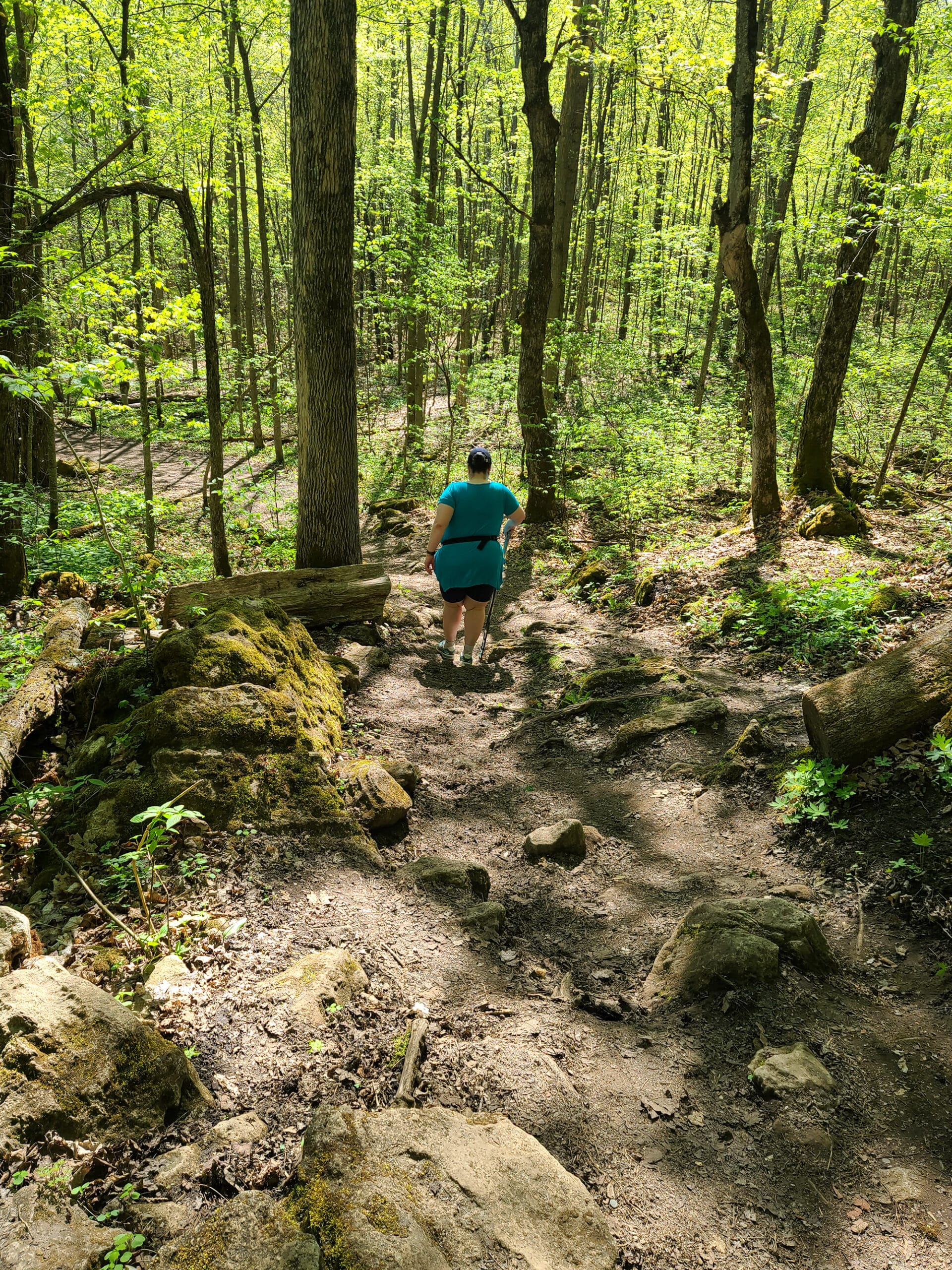
I’m sure you can see why!
Cliff-Top Side Trail - 2.8 km (Green Trail)
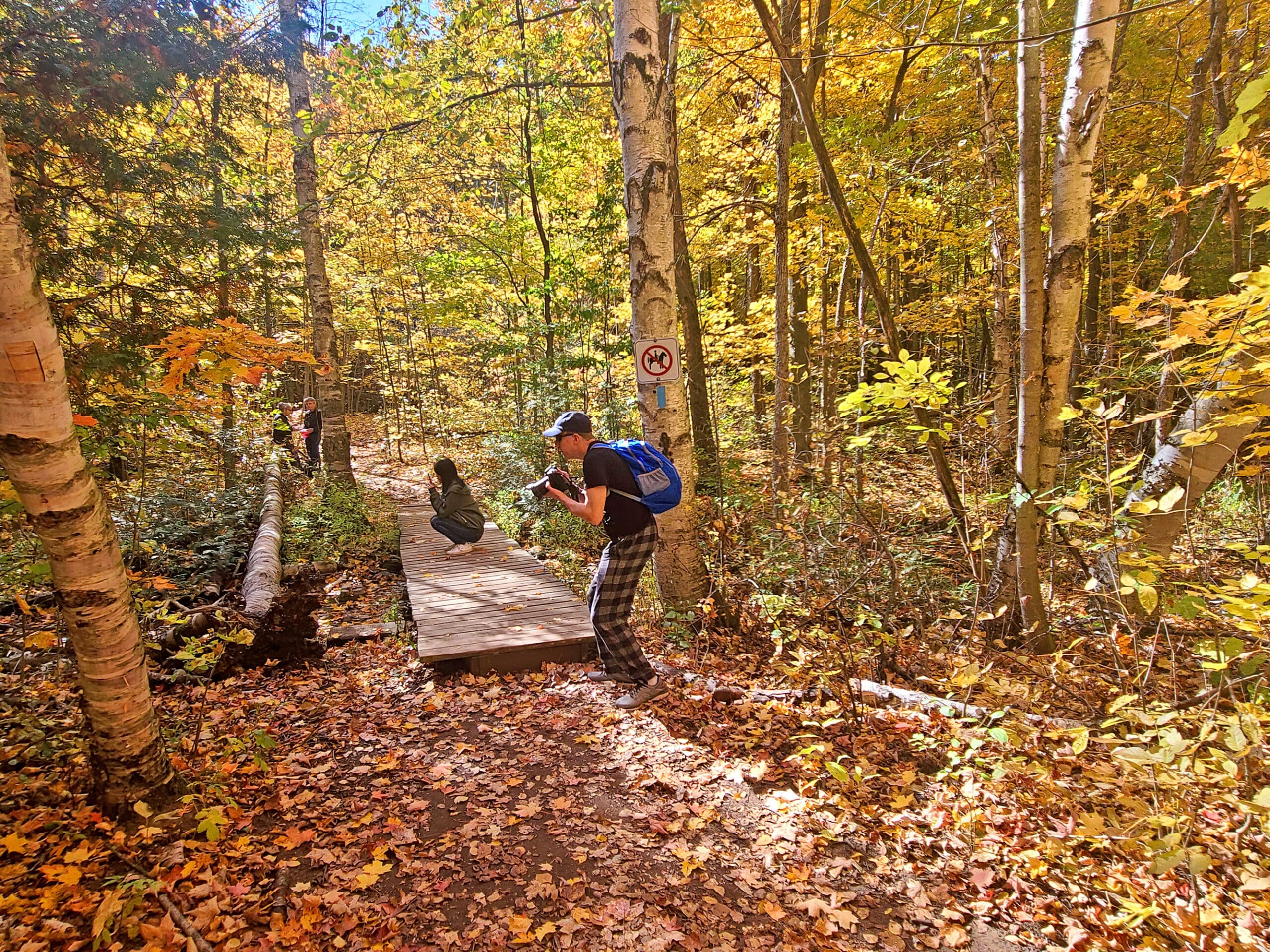
The Cliff Top Trail is where you see the features that are written about in blog entries, and the typical sights you see of the park on Instagram.
First, you have to get up TO the cliff top, via a very steep trail:
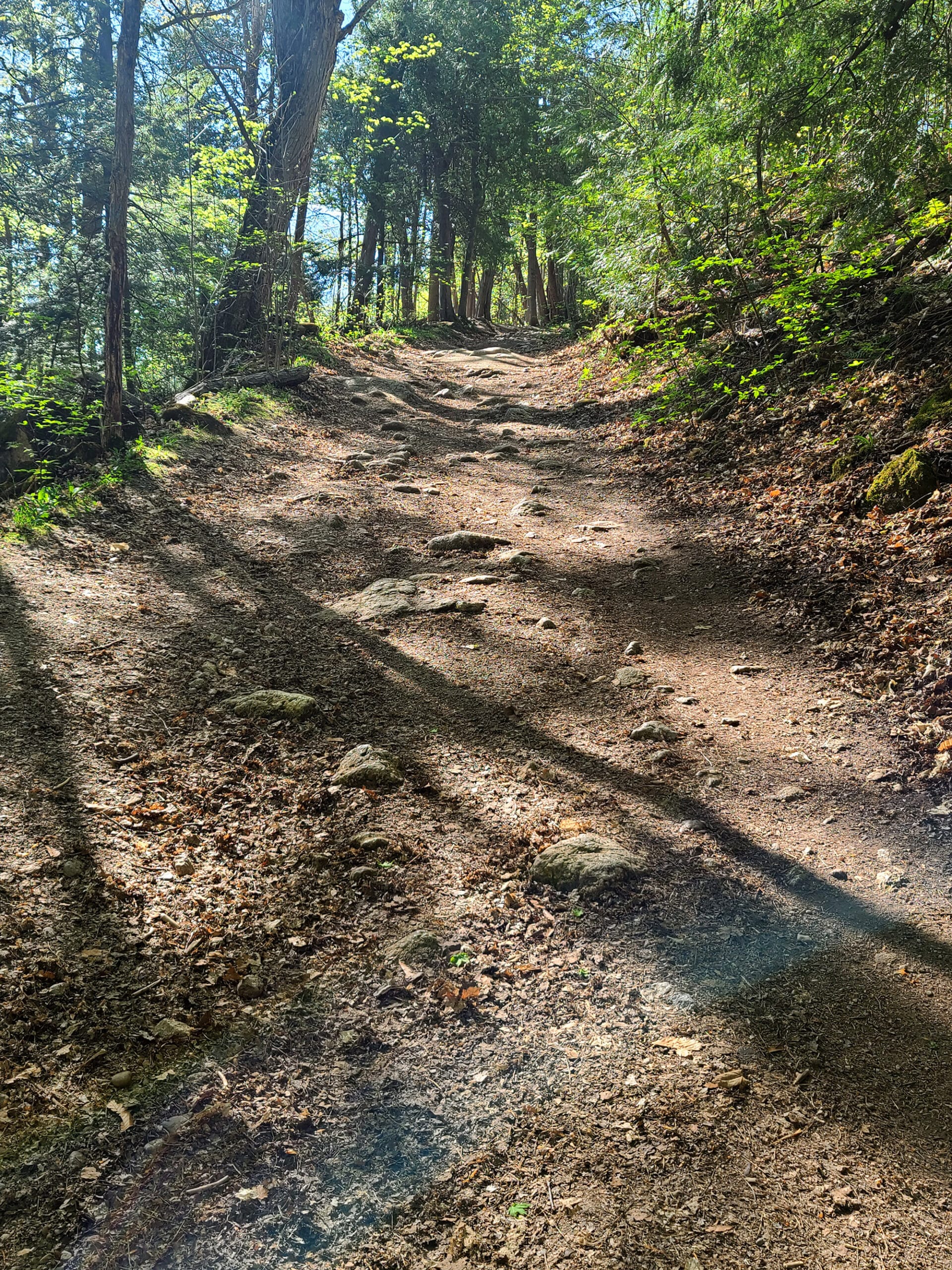
Wooden Path
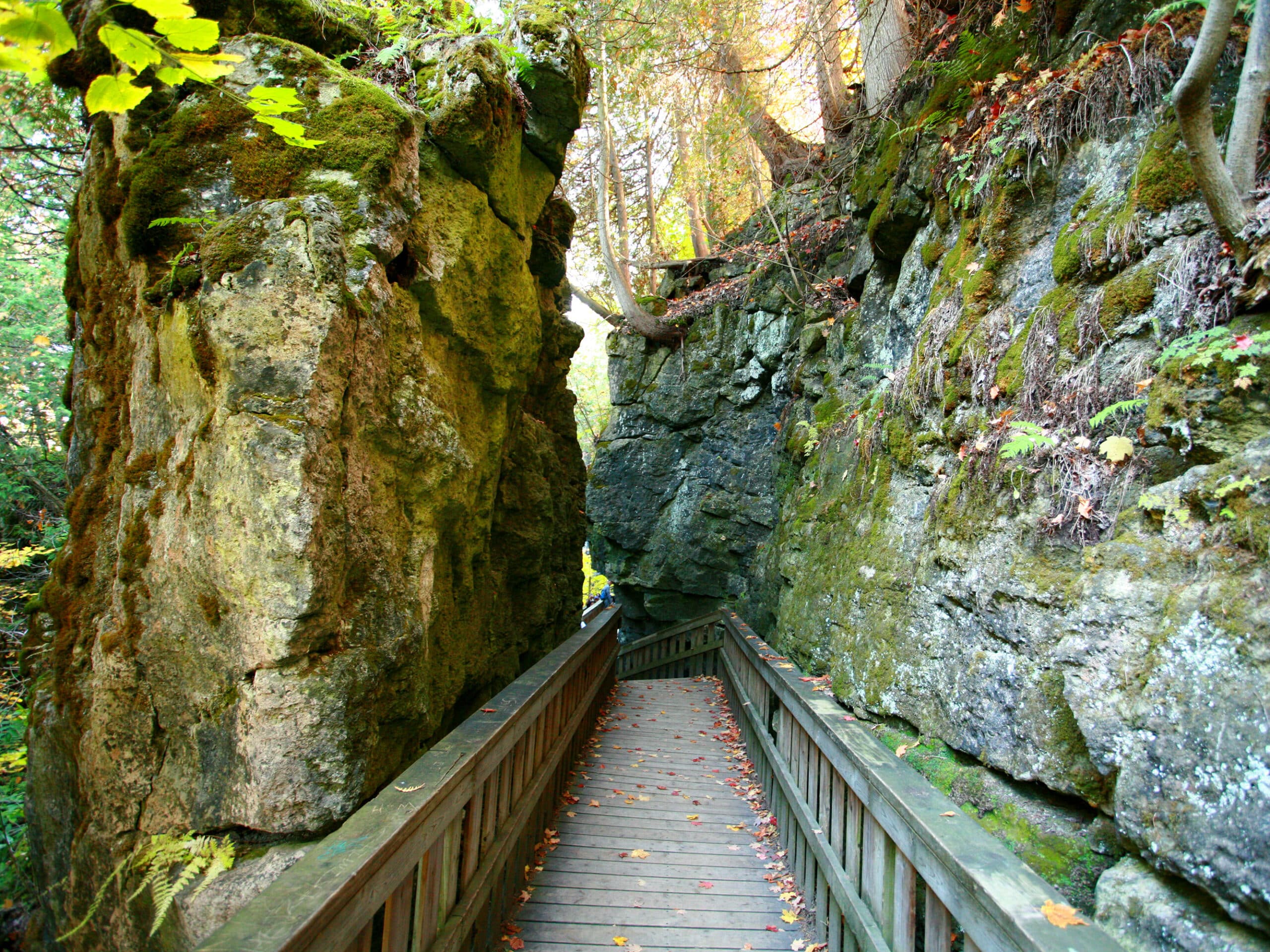
To your left, you’ll eventually come to some metal stairs going down the side of the cliff. This leads to a boardwalk through a section of tall rock formations.
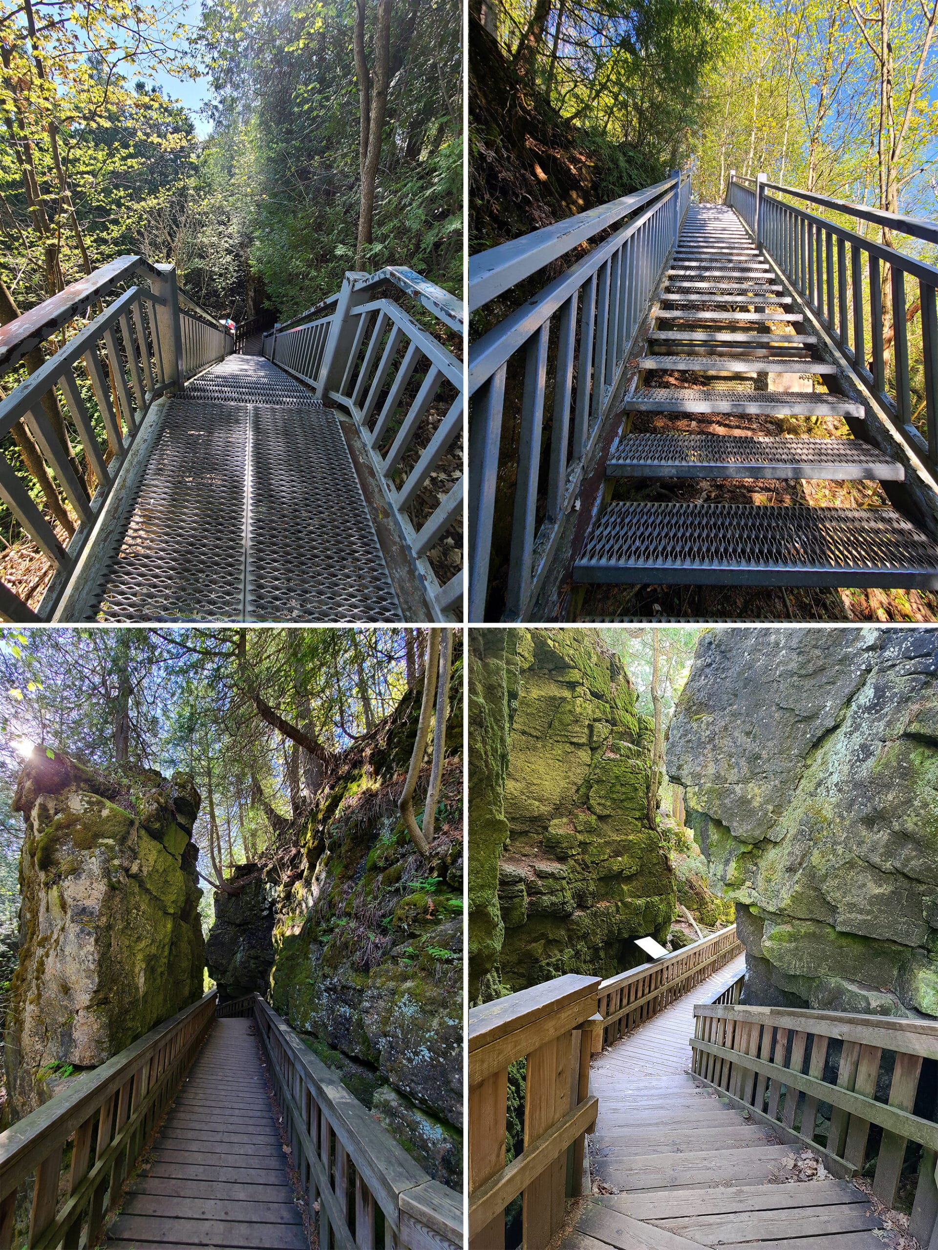
I’m really glad that we got there right when the park opened - it’s definitely a sight that would be difficult to enjoy / get pictures of if there had been more people there.
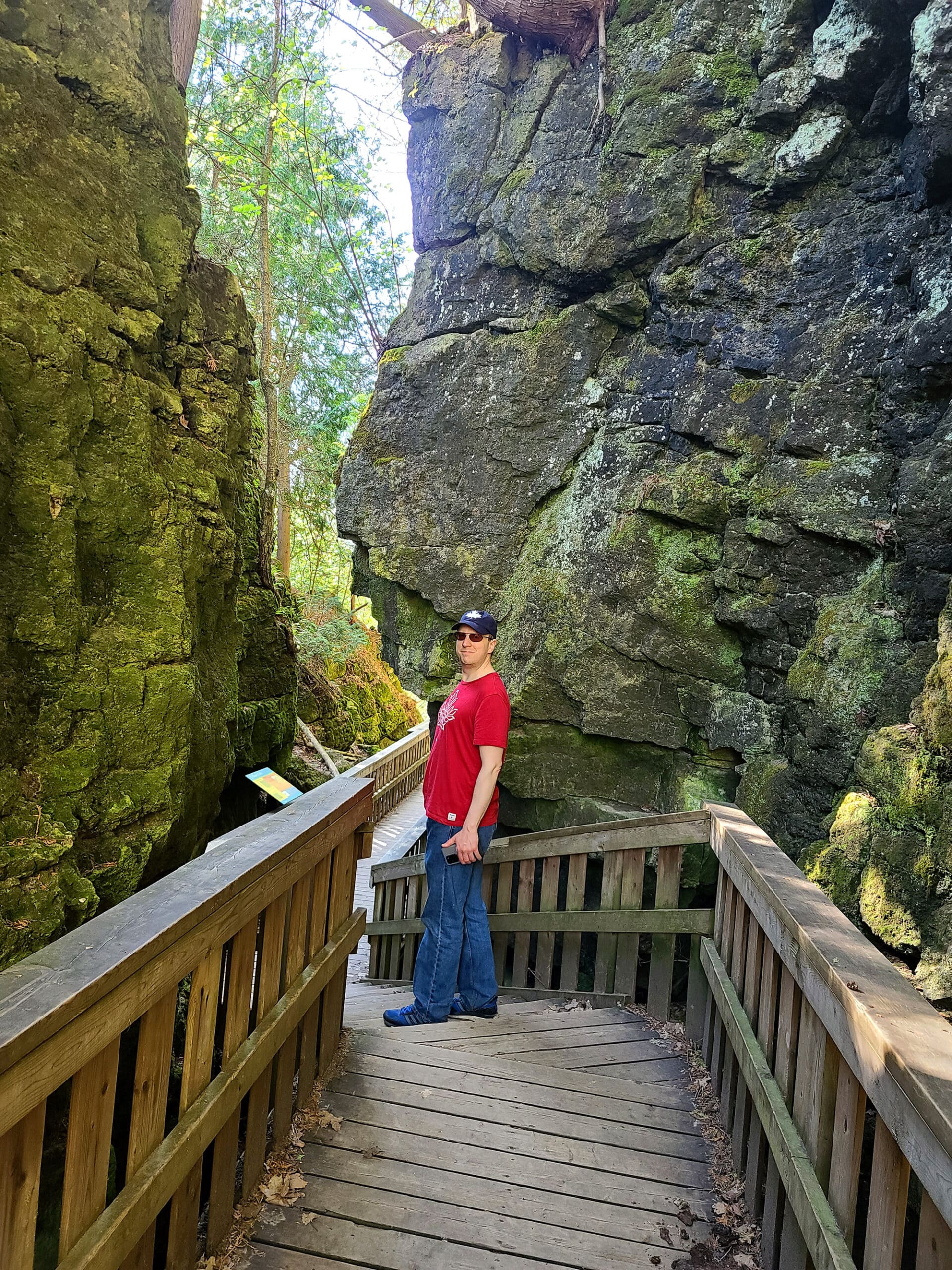
Since then, it’s definitely been our experience that the best times to visit are FIRST thing in the morning - beelining to this area, before anything else.
Personally, I think some of the best views of the walk were in this area, walking among the canyon’s rock crevices. Probably tied with the stairs coming down Carriage Trail.
Lookout Point
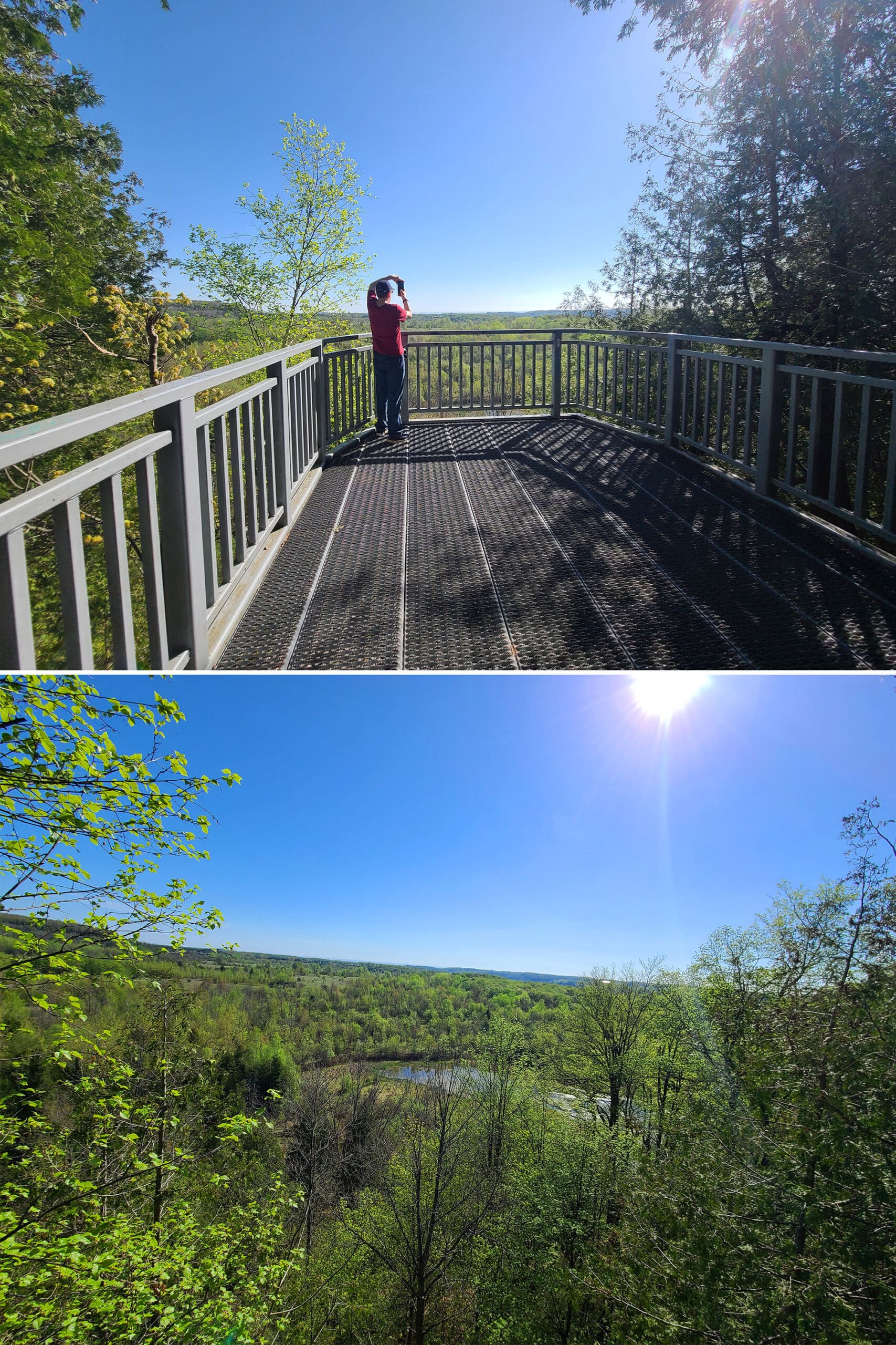
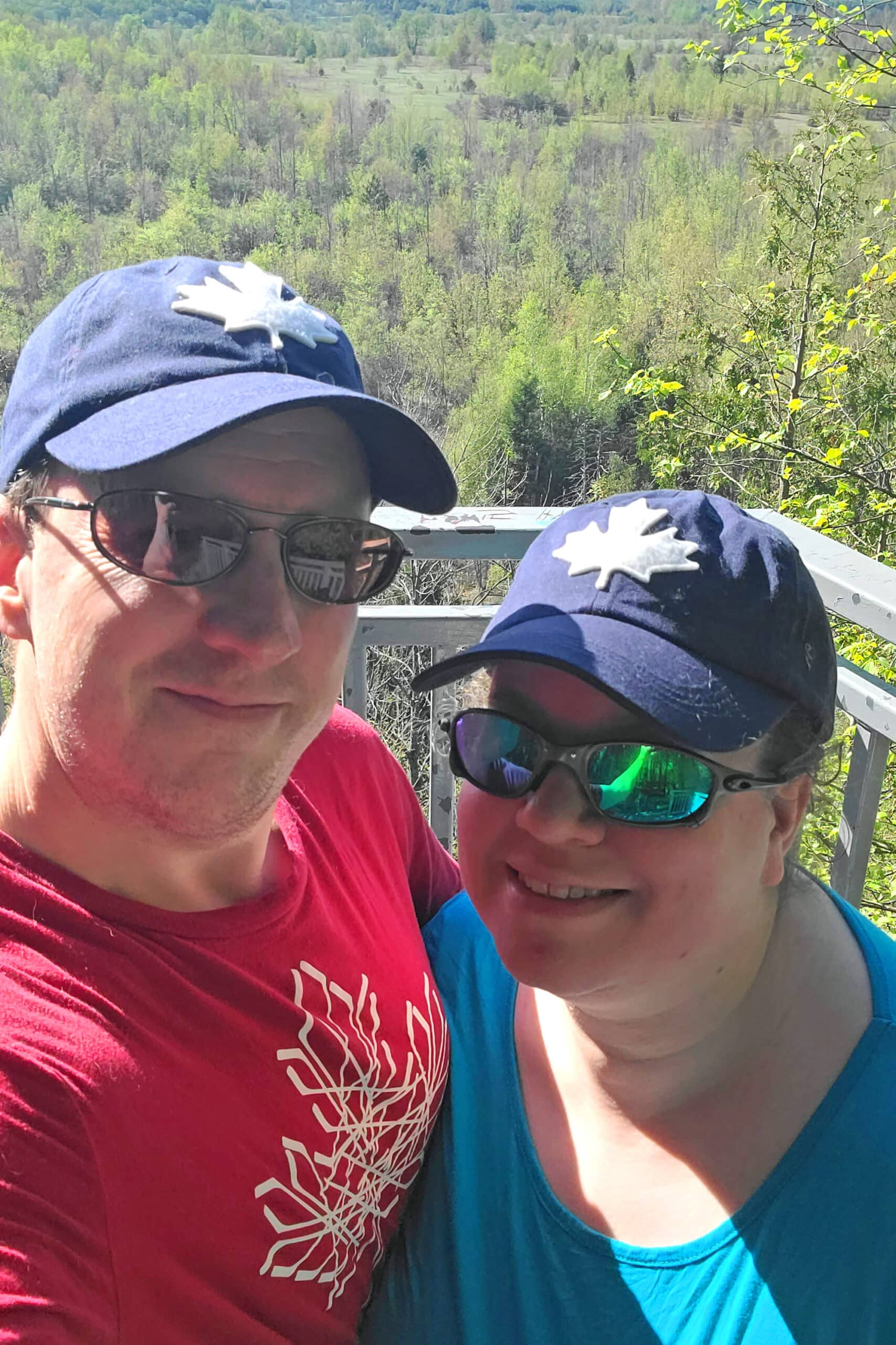
The lookout point is a cliff-top viewing platform, which looks out over a big open area below.
We don’t usually take much time a the lookout platform, as there are always crowds streaming in and out, by the time we get there.
We usually continue along the Cliff Top Trail until the point where it basically comes to a dead end at 2nd Line EHS.
The trail takes a sharp left at that point, and that’s where it meets up with Carriage Trail, and those stairs!
Link Trail - 600 m (Black Trail)
This is just a short trail providing a bit of a shortcut from the Spillway Trail to the Walter Tovell Trail.
Note: If you take this trail, you skip the second washroom - the only one aside from the parking lot washroom.
Lookout Trail - 600 m (Grey Trail)
We haven’t done this trail yet, we’ll update when we do!
Otherwise, I know nothing about it, beyond the distance listed on the park’s website. I’m guessing the distance is inaccurate - it definitely looks longer on the map, though not as long as the 6.3 km that AllTrails has it listed as!
McCarston’s Trail - 3.6 km (Orange Trail)
Another trail we haven’t done yet, this one is accessed via the Cliff-Top Side Trail. It basically makes a loop around McCarston’s Lake, a small kettle lake.
We’ll update this when we finally get around to checking this trail out!
South Outlier Trail - 3.5 km (Yellow Trail)
Hey look, another trail we haven’t done yet!
This is what happens when you go to a gorgeous park in the early stages of regaining mobility, and really have to budget that mobility!
As with the last two, I’ll update this when we get around to seeing it!
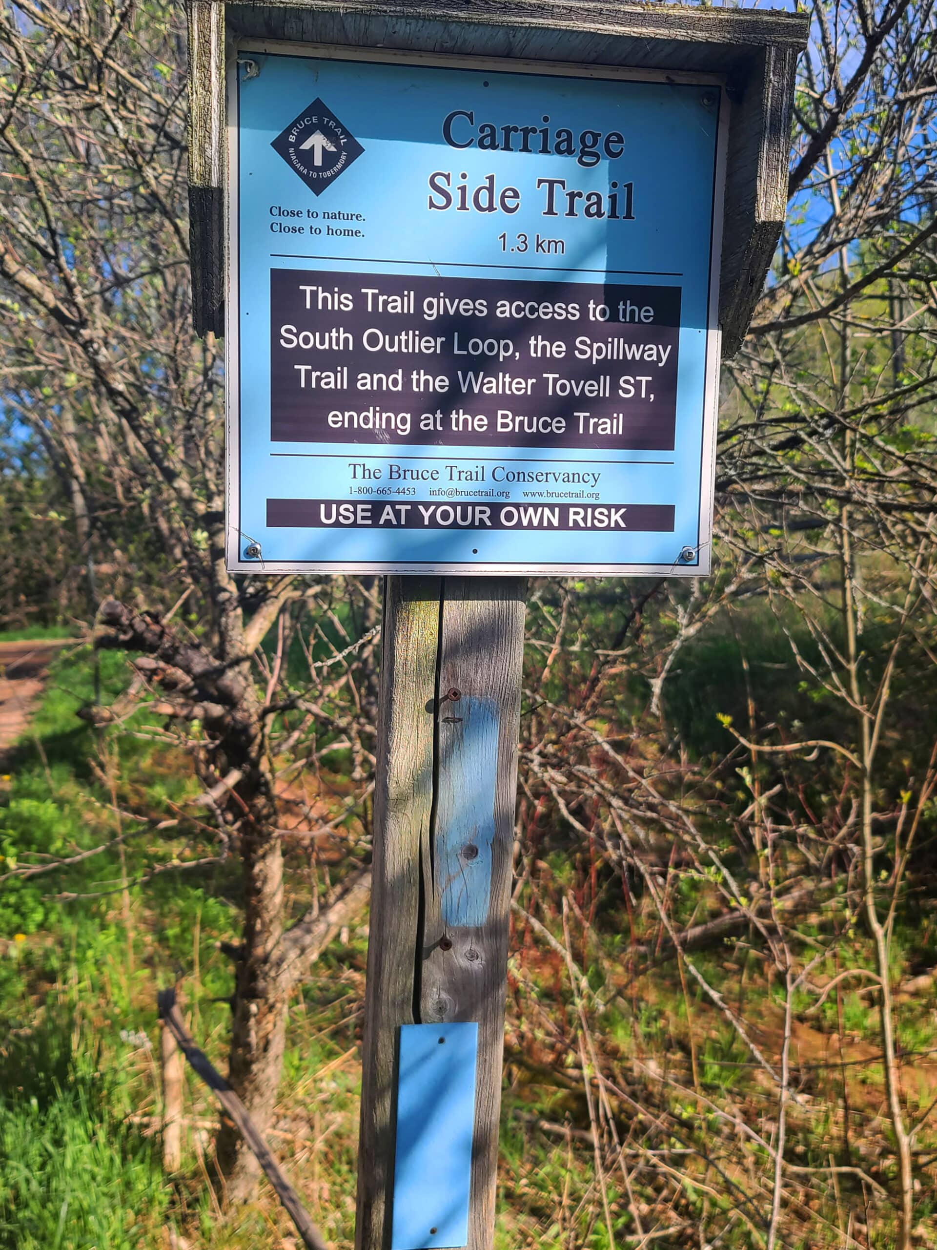
Spillway Trail - 1.3 km (Purple Trail)
Ok, here we go - another trail that we’ve actually done!
Well, partway, anyway. We do the north half of this trail - turning right onto it from the Carriage Trail, when entering the main park area.
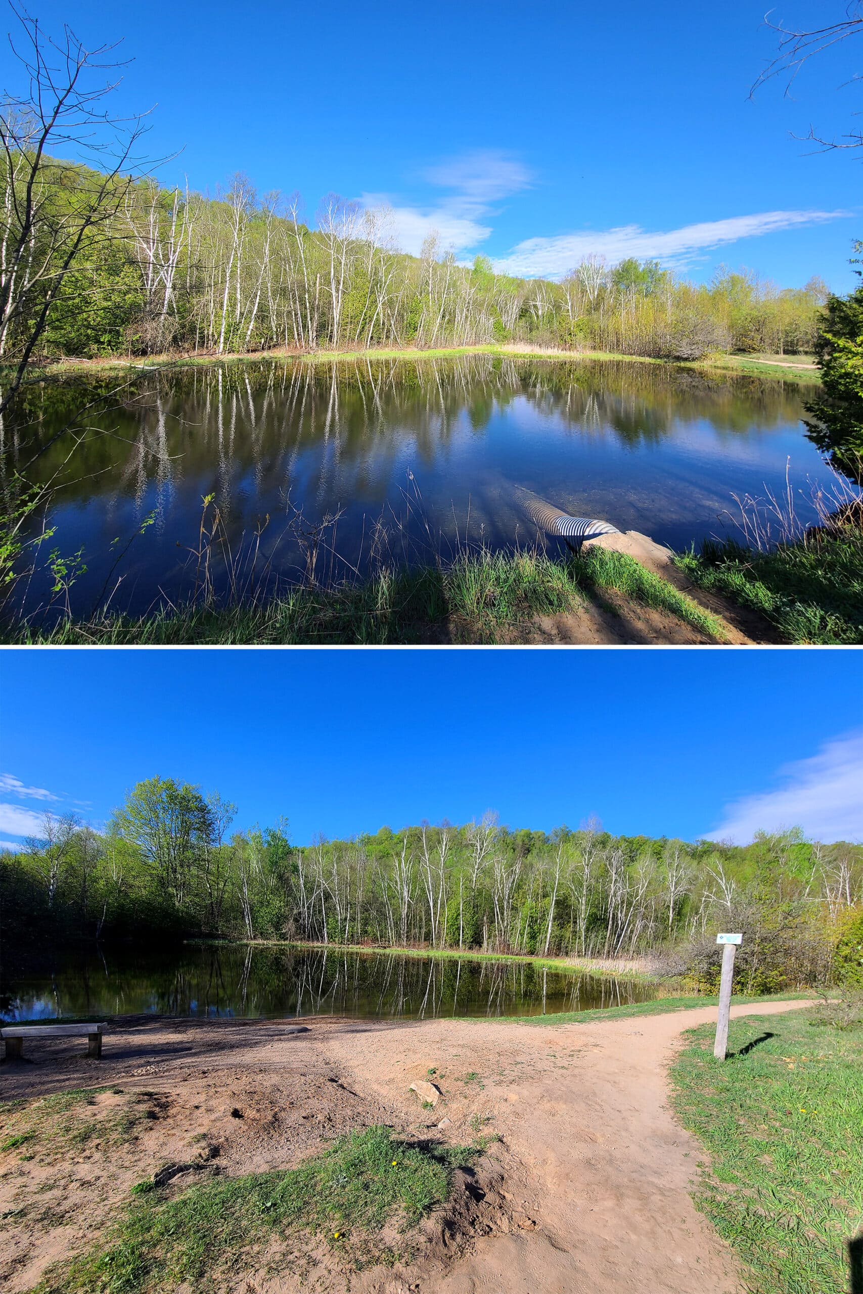
This - at least the section we’re familiar with - is a pretty basic trail. You pass a small lake shortly after turning onto it, it’s really pretty and has a little bench on the side, to sit and enjoy the view.
Further up this trail, we usually take a left turn onto a short section of the Walter Tovell Trail, before splitting off onto the Cliff-Top Trail.
Walter Tovell Trail - 4.8 km (Blue Trail)
When I’m not feeling like walking UP the Carriage Trail stairs, we take a short section of the Walter Tovell Trail.
... and I don’t remember much about this trail. Nothing, really - and I’m not sure which of my photos are from it!
I’ll have to update this one next time we visit!
Biking
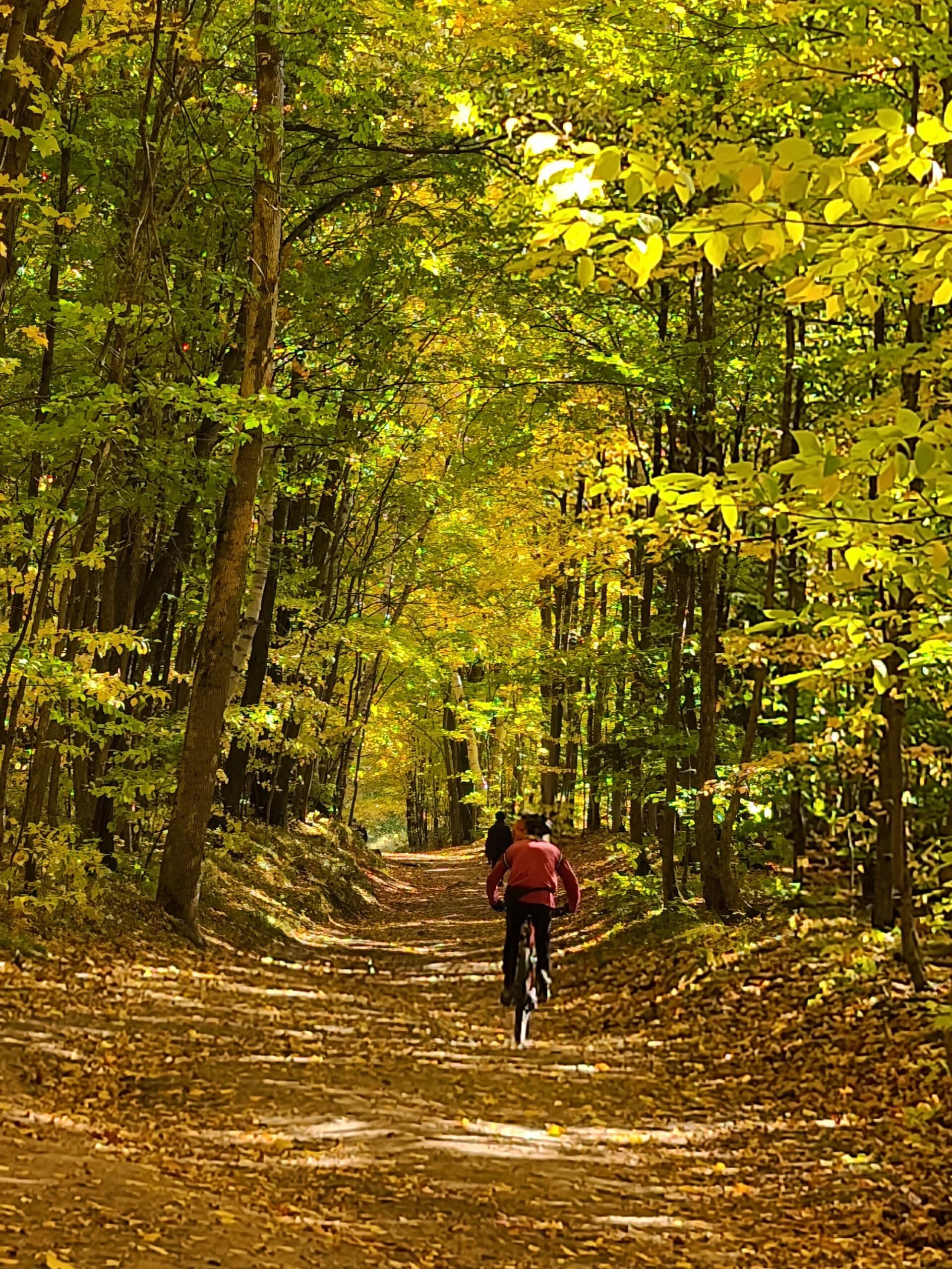
Of the trails listed under hiking, the following are shared use trails, with biking permitted::
Carriage Trail (1.3 km)
Cliff-Top Side Trail (2.8 km)
Link Trail (600 m)
Spillway Trail (1.3 km)
Walter Tovell Trail (4.6 km)
As a heads up, some have pretty rough terrain!
Horseback Riding
Of the trails listed under the hiking section, the following allow horseback riding:
Carriage Trail (1.3 km)
Spillway Trail (1.3 km)
McCarston’s Lake Trail (3.6 km)
Walter Tovell Trail (4.6 km)
Birding, Wildlife, and Nature
This park is known for its rich biodiversity, but all of our trips happened before we really got into birding!
It’s a unique place, though - so I’m looking forward to actually paying attention to all the wildlife that surrounds us. I bet it’s a great place for birding - the park site doesn’t have any information about that, though. 🙁
Winter Activities
As a year-round park, Mono Cliffs Provincial Park is open for cross-country skiing and snowshoeing.
Just note: The trails are not maintained in the winter. Some of them are pretty rough, so be sure to take care!
Final Thoughts
LOVE this park. It’s a really great area to explore, even for the small amount of it that we’ve seen.
As autistics, we’re definitely creatures of habit ... and that’s definitely gotten in the way of us seeing as much of this park as we’d like.
You know that thing, when you go to a restaurant for the first time, order something that ends up amazing, and then you just never end up trying anything else, because that is THE dish there?
This park is *that* for us, just in hiking form!
As I’m getting more and more mobility back, though ... I haven’t had to budget it as much. I’m really looking forward to our next trip to Mono Cliffs, with a longer range and more ability to see more of the trails.
You know, in addition to our favourites. 🙂
More Places to See
Looking for some nice sights to see and great places to visit while you're out on your camping adventures? Here are a few of our favourite day use parks, attractions, etc.
Batchawana Bay
Big Bay, Ontario
Bruce Peninsula National Park
Doube's Trestle Bridge
Eugenia Falls Conservation Area
Falls Reserve Conservation Area
Flowerpot Island
Hogg's Falls
Menesetung Bridge
Point Pelee National Park
Scenic Caves Nature Adventures
Spirit Rock Conservation Area
Temagami Fire Tower
Walter's Falls
Wasaga Beach Provincial Park
Thanks for Reading!If you loved this post - or have any questions about it - please leave a comment below! We'd also love it if you would consider sharing the link on social media! |



Leave a Reply